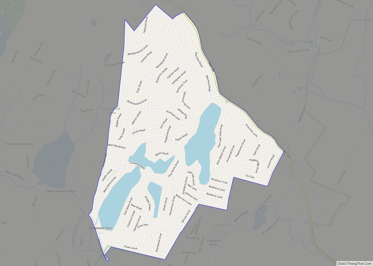
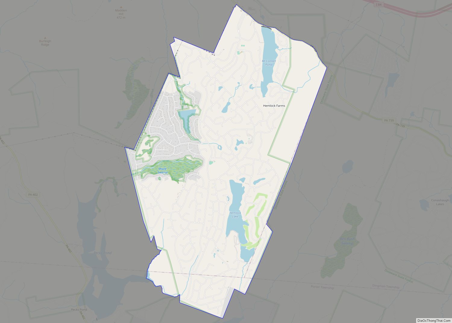
Hemlock Farms Community Association (HFCA) is a census-designated place located in Lords Valley, Blooming Grove, Porter and Dingman Townships in Pike County in the state of Pennsylvania. The community is located south of Interstate 84, and surrounds its namesake Hemlock Lake. As of the 2010 census the population was 3,271 residents.
HFCA is a 4,500-acre (18 km) gated community that spans from Pennsylvania State Routes 402 and 739. It is the largest community within Lords Valley.
| Name: | Hemlock Farms CDP |
|---|---|
| LSAD Code: | 57 |
| LSAD Description: | CDP (suffix) |
| State: | Pennsylvania |
| County: | Pike County |
| Total Area: | 8.15 sq mi (21.12 km²) |
| Land Area: | 7.71 sq mi (19.96 km²) |
| Water Area: | 0.45 sq mi (1.16 km²) |
| Total Population: | 3,901 |
| Population Density: | 506.23/sq mi (195.45/km²) |
| FIPS code: | 4233772 |
| Website: | http://www.hemlockfarms.org/ |
Online Interactive Map
Click on ![]() to view map in "full screen" mode.
to view map in "full screen" mode.
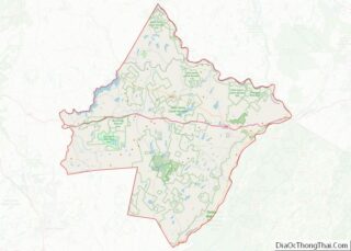
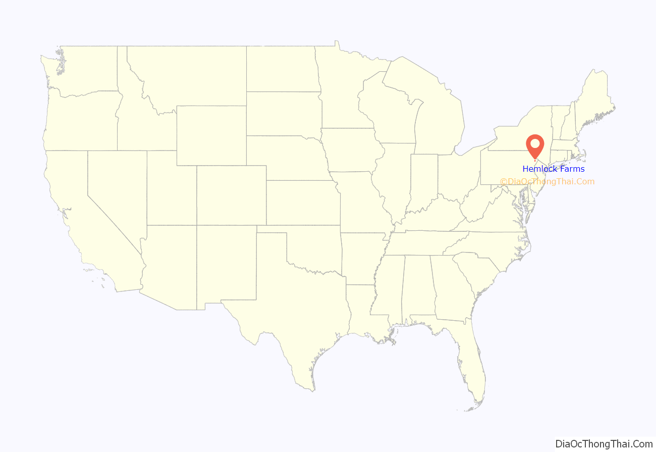
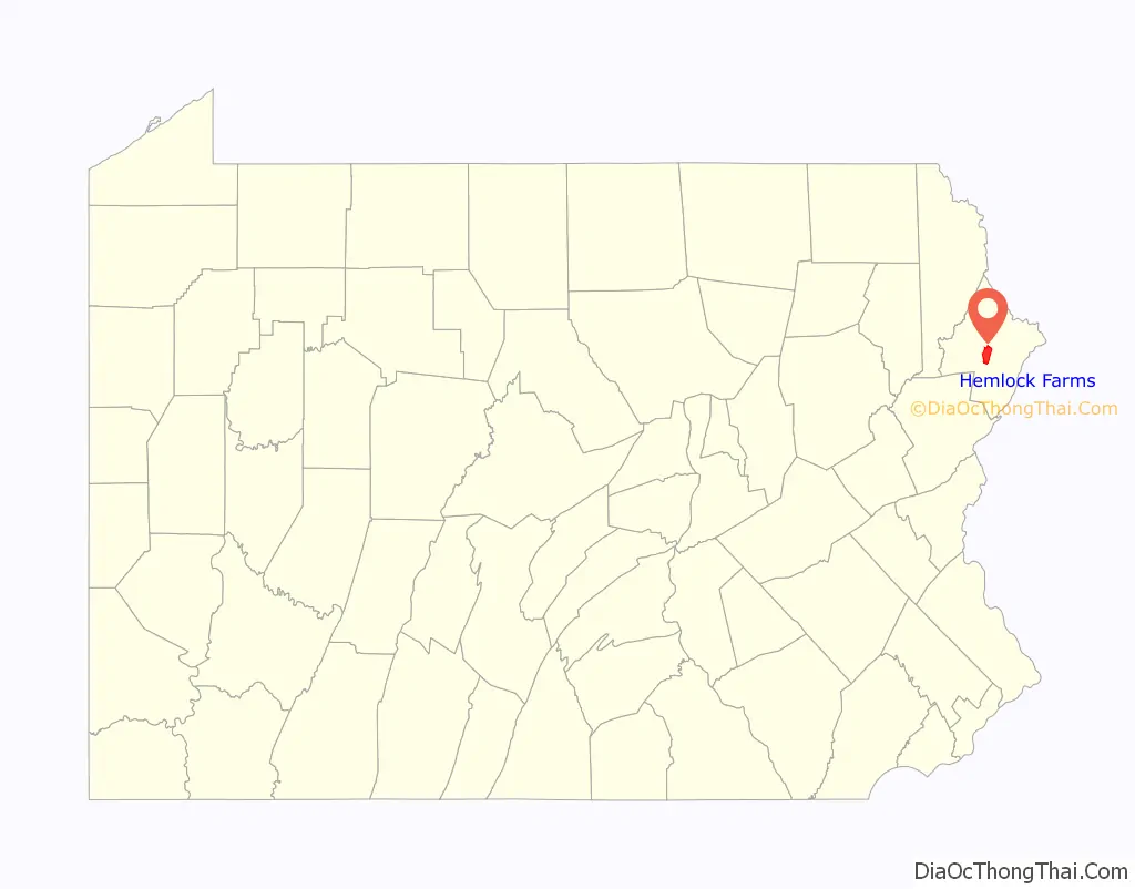
Hemlock Farms location map. Where is Hemlock Farms CDP?
History
In 1927 William Brewster began acquiring the land that would eventually become HFCA. In 1963 Home Smith International purchased 4,500 acres for $700,000 in order to convert it from a private estate to a community with 3,726 lots. Individual property owners now own 95 percent of the lots on which more than 3,000 homes have been constructed, with roughly 1,000 occupied on a permanent basis, and the rest by weekend or summer residents.
All property owners are members of the HFCA, which is incorporated as a nonprofit corporation, and which holds title to the roads, lakes, ponds, green belt and other common areas within the community.
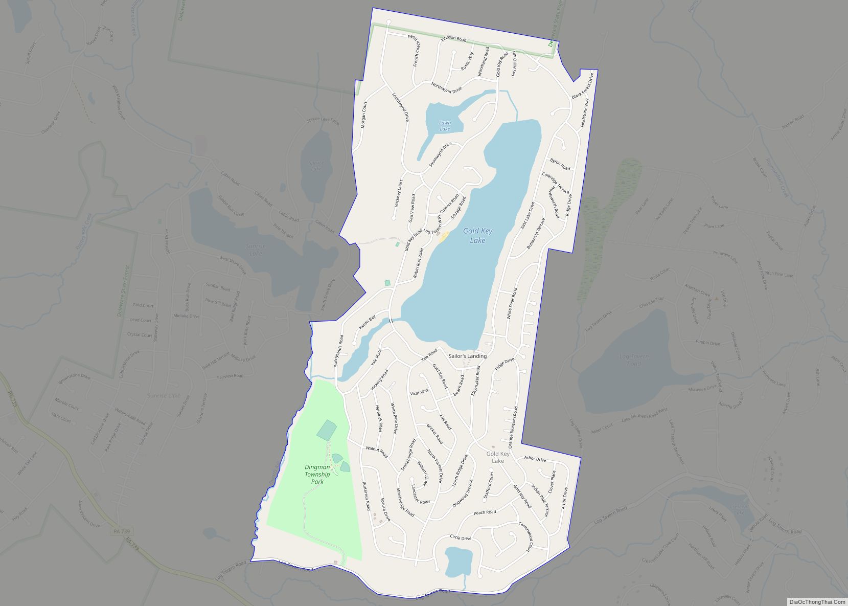
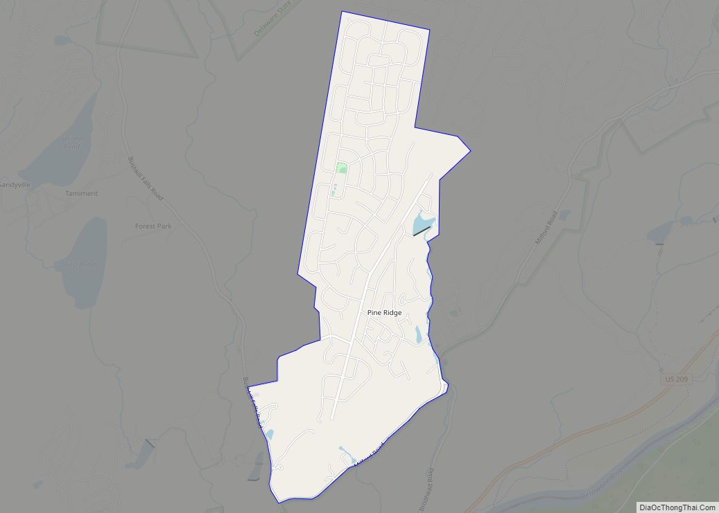
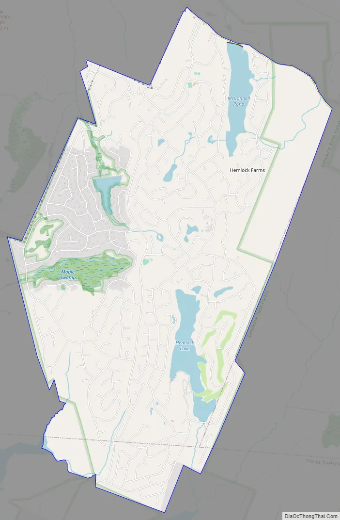
Hemlock Farms Road Map
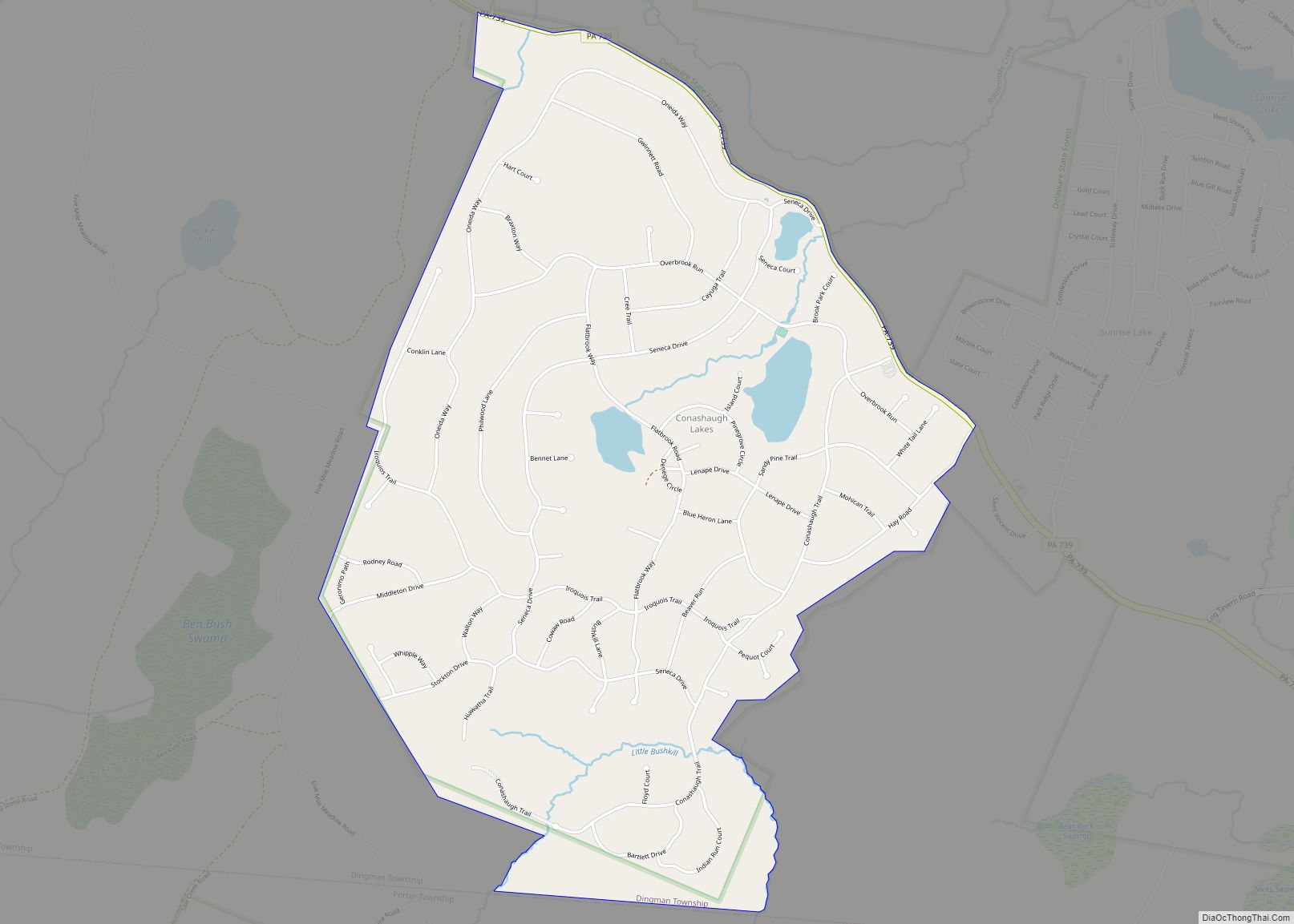
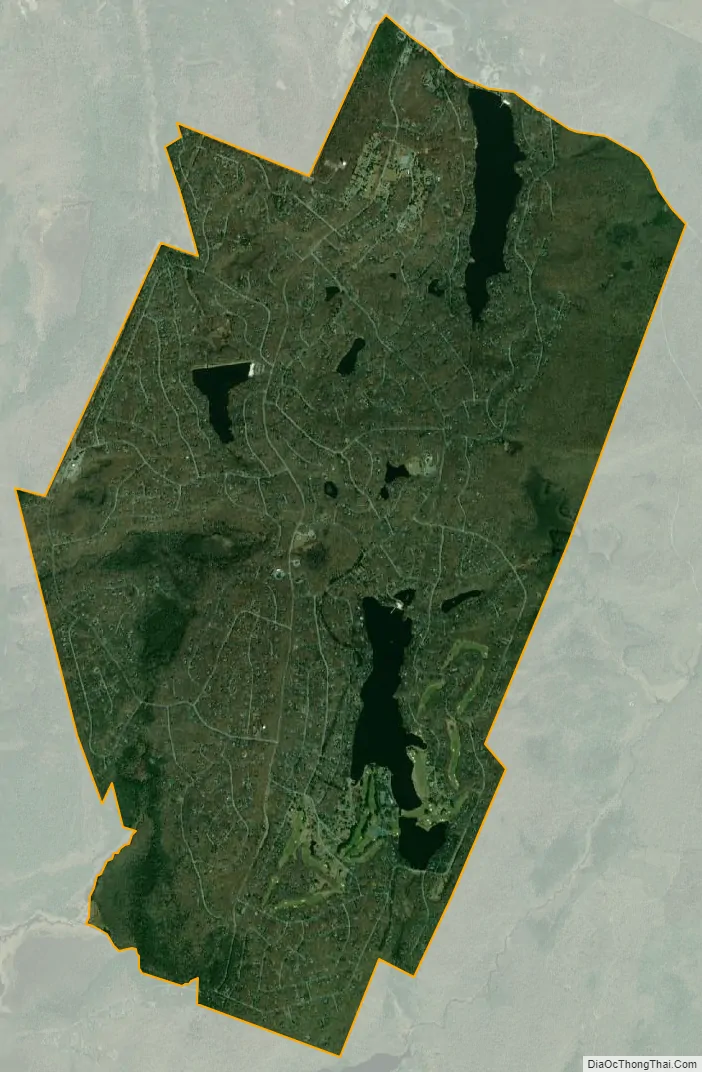
Hemlock Farms city Satellite Map
See also
Map of Pennsylvania State and its subdivision:- Adams
- Allegheny
- Armstrong
- Beaver
- Bedford
- Berks
- Blair
- Bradford
- Bucks
- Butler
- Cambria
- Cameron
- Carbon
- Centre
- Chester
- Clarion
- Clearfield
- Clinton
- Columbia
- Crawford
- Cumberland
- Dauphin
- Delaware
- Elk
- Erie
- Fayette
- Forest
- Franklin
- Fulton
- Greene
- Huntingdon
- Indiana
- Jefferson
- Juniata
- Lackawanna
- Lancaster
- Lawrence
- Lebanon
- Lehigh
- Luzerne
- Lycoming
- Mc Kean
- Mercer
- Mifflin
- Monroe
- Montgomery
- Montour
- Northampton
- Northumberland
- Perry
- Philadelphia
- Pike
- Potter
- Schuylkill
- Snyder
- Somerset
- Sullivan
- Susquehanna
- Tioga
- Union
- Venango
- Warren
- Washington
- Wayne
- Westmoreland
- Wyoming
- York
- Alabama
- Alaska
- Arizona
- Arkansas
- California
- Colorado
- Connecticut
- Delaware
- District of Columbia
- Florida
- Georgia
- Hawaii
- Idaho
- Illinois
- Indiana
- Iowa
- Kansas
- Kentucky
- Louisiana
- Maine
- Maryland
- Massachusetts
- Michigan
- Minnesota
- Mississippi
- Missouri
- Montana
- Nebraska
- Nevada
- New Hampshire
- New Jersey
- New Mexico
- New York
- North Carolina
- North Dakota
- Ohio
- Oklahoma
- Oregon
- Pennsylvania
- Rhode Island
- South Carolina
- South Dakota
- Tennessee
- Texas
- Utah
- Vermont
- Virginia
- Washington
- West Virginia
- Wisconsin
- Wyoming