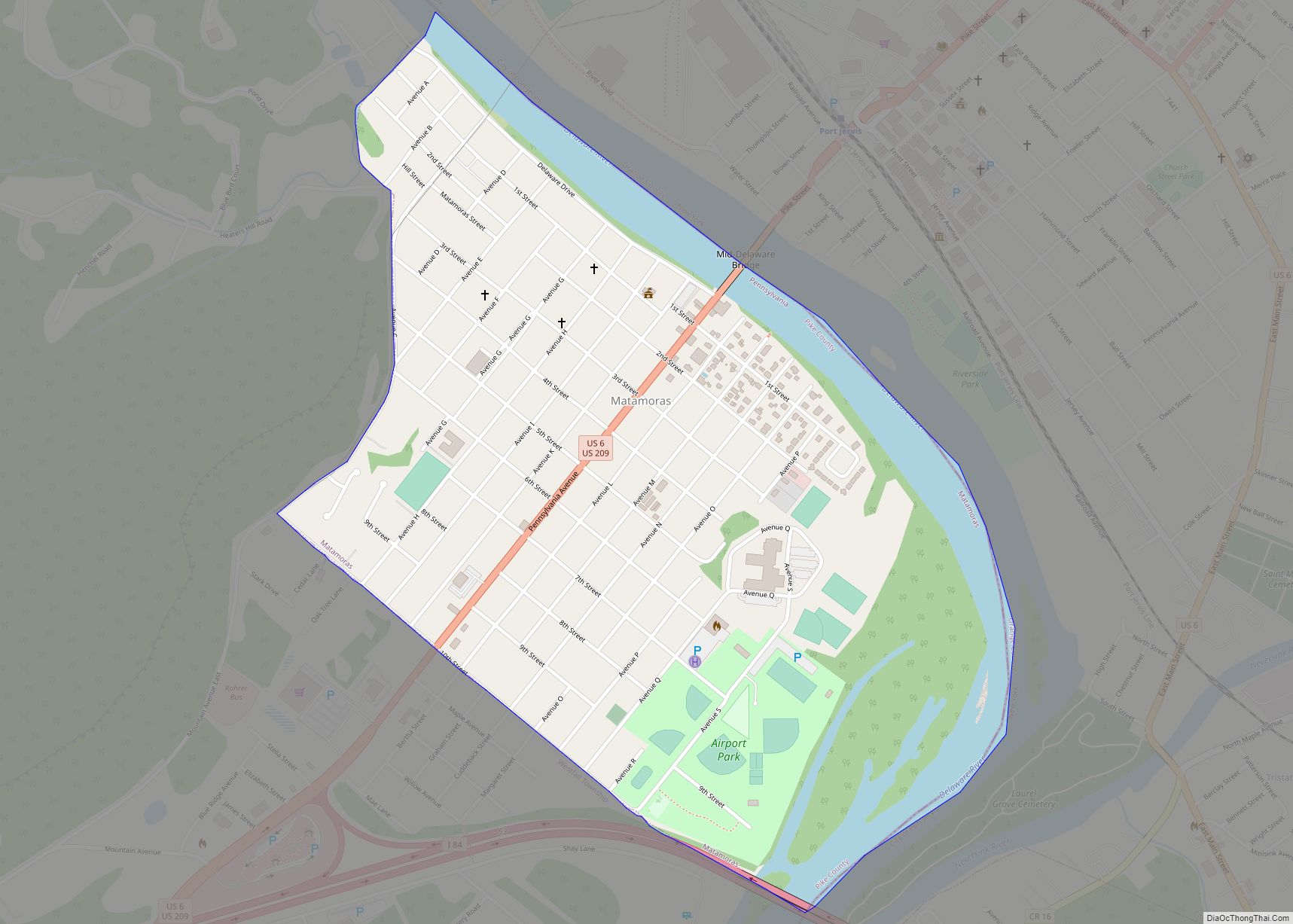
Matamoras is a borough in Pike County, Pennsylvania, United States. The population was 2,362 at the 2020 census. It is the easternmost municipality of any kind in Pennsylvania. Matamoras is part of the New York–Newark–Jersey City, NY–NJ–PA Metropolitan Statistical Area, as well as the larger New York–Newark, NY–NJ–CT–PA Combined Statistical Area.
| Name: | Matamoras borough |
|---|---|
| LSAD Code: | 21 |
| LSAD Description: | borough (suffix) |
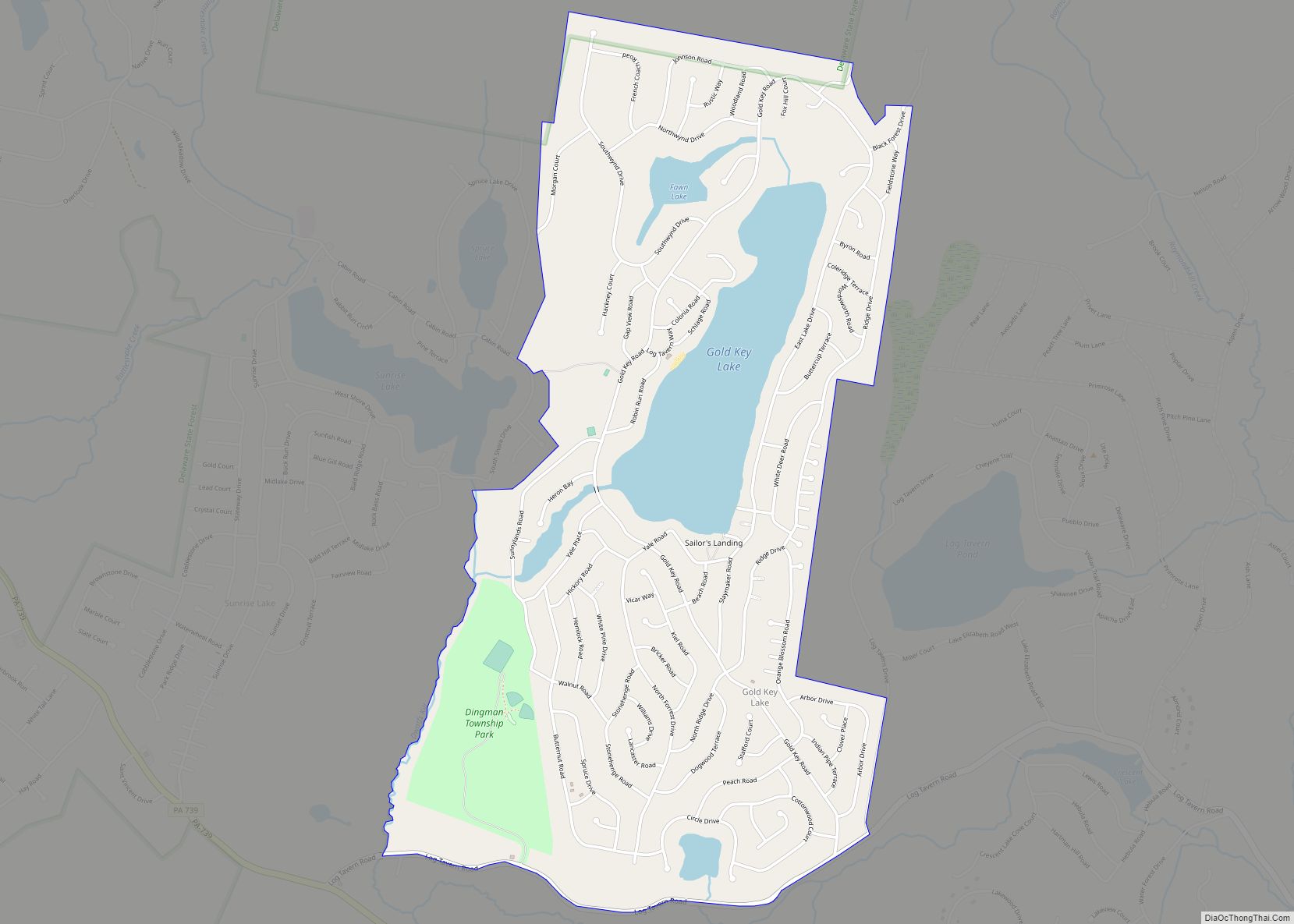
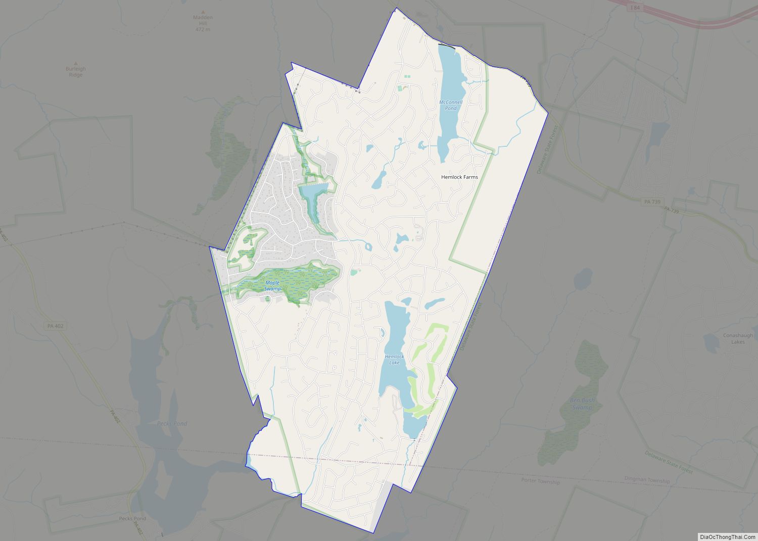
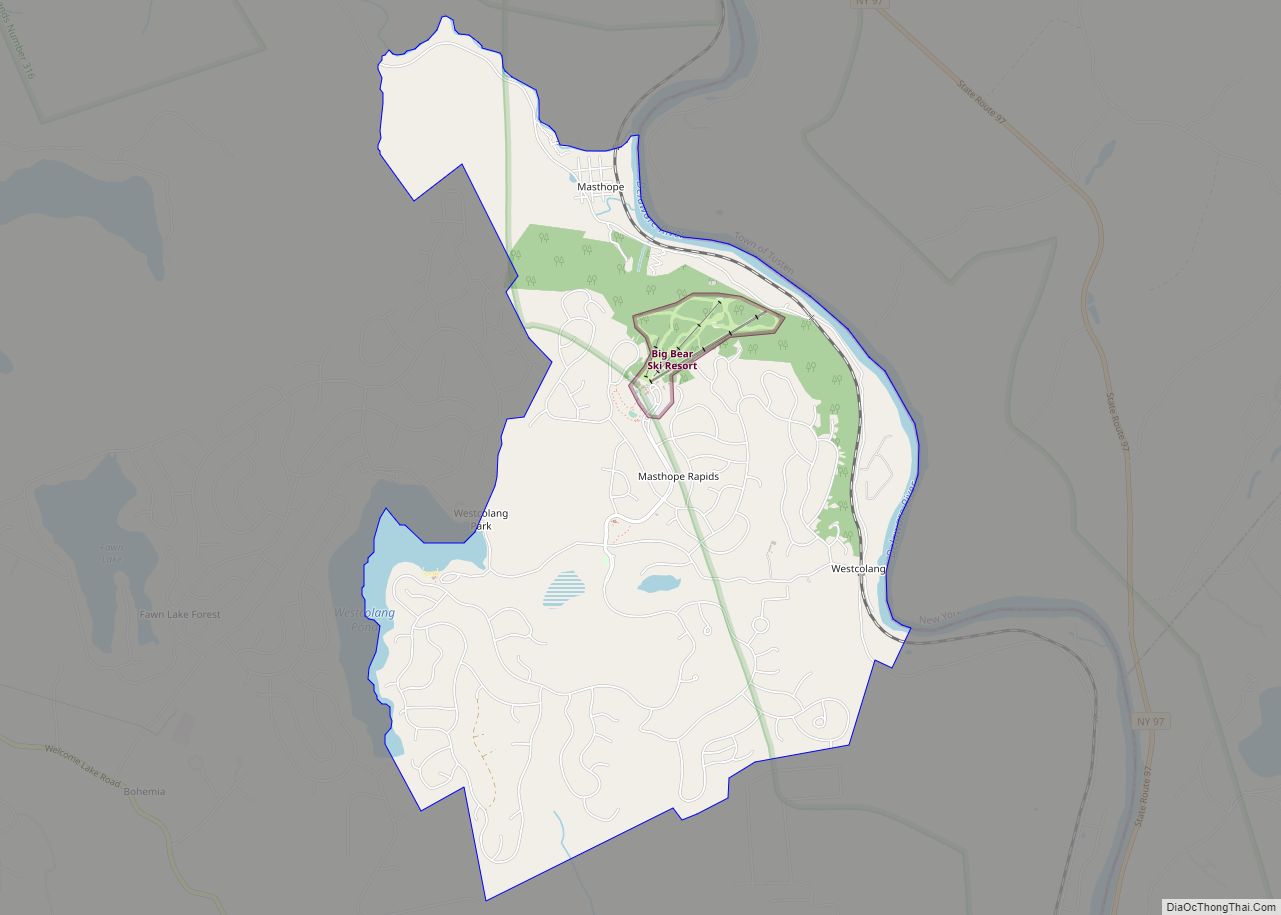
| State: | Pennsylvania |
| County: | Pike County |
| Incorporated: | January 18, 1905; 118 years ago (1905-01-18) |
| Elevation: | 427 ft (130 m) |
| Total Area: | 0.78 sq mi (2.02 km²) |
| Land Area: | 0.69 sq mi (1.79 km²) |
| Water Area: | 0.09 sq mi (0.23 km²) |
| Total Population: | 2,362 |
| Population Density: | 3,408.37/sq mi (1,316.37/km²) |
| ZIP code: | 18336 |
| Area code: | 570 |
| FIPS code: | 4248048 |
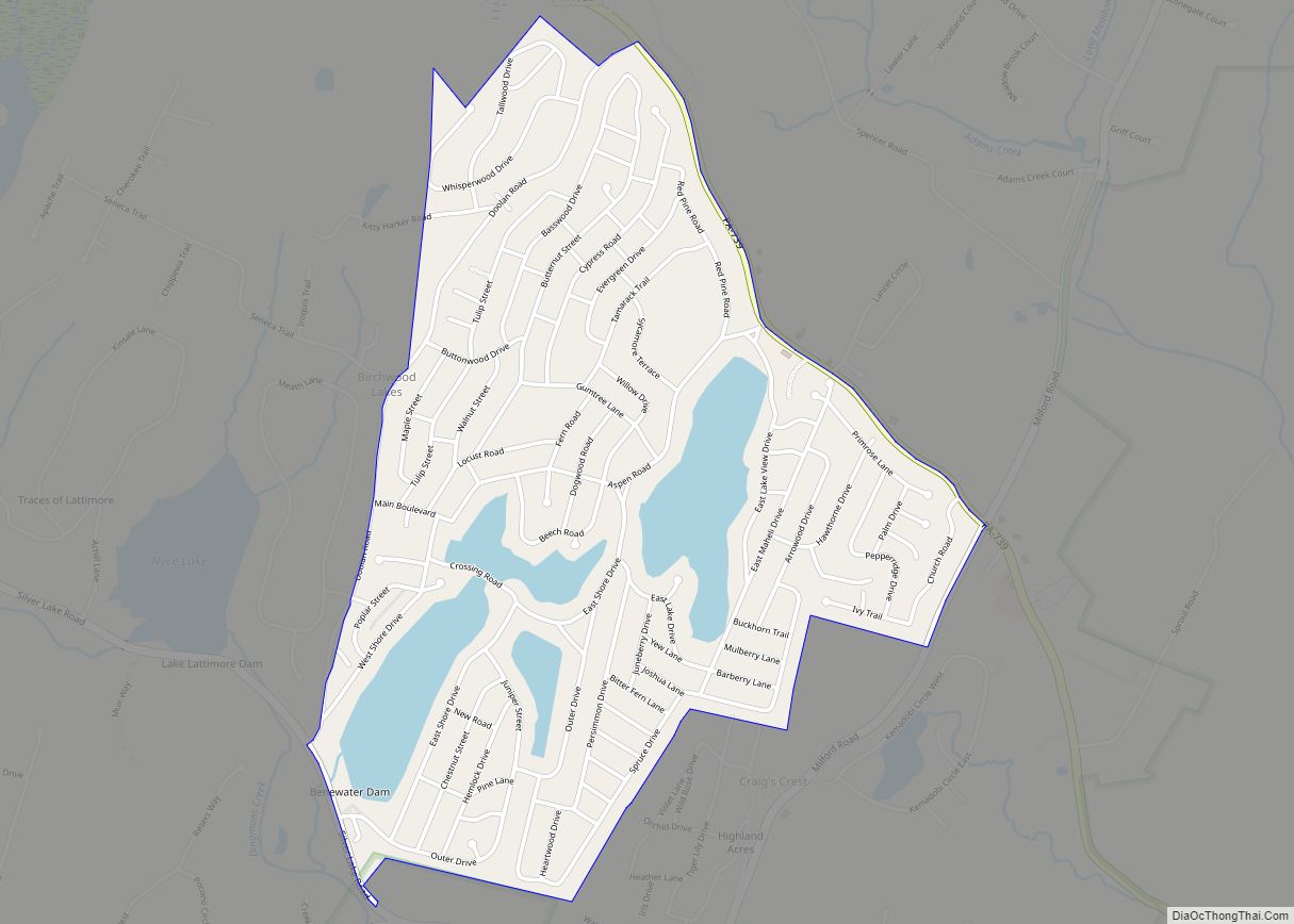
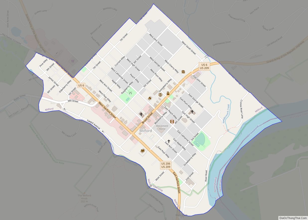
Online Interactive Map
Click on ![]() to view map in "full screen" mode.
to view map in "full screen" mode.
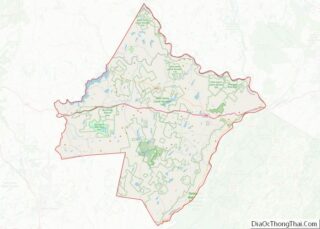
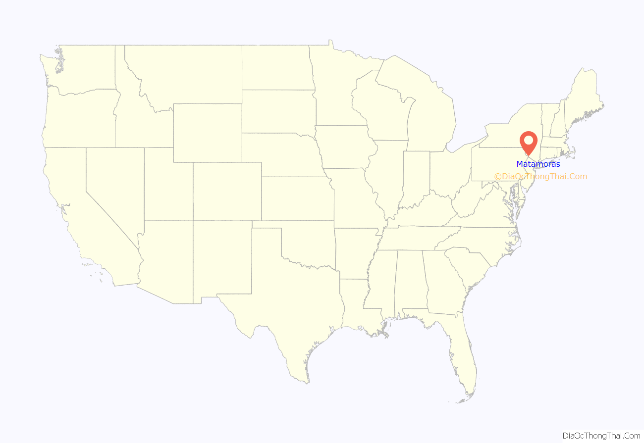
Matamoras location map. Where is Matamoras borough?
History
Matamoras was originally part of Westfall Township. Its name is derived from the Mexican city of Matamoros, which was the first to be occupied by U.S. troops during the Mexican–American War. It was incorporated as a borough on January 18, 1905.
Merrill-Ronne Airport
On May 31, 1930, the Merrill-Ronne Airport was opened on the eastern side of Matamoras. The Airport was named and dedicated to aviators, Mazel M. Merrill and Edwin Ronne who had crashed and died in the woods near Milford, Pennsylvania. The airport consisted of two large runways and a smaller runway at the north of the airport. The airport was used to train fighter pilots during WWII. The airport closed sometime between 1970 and 1980. After the airport was closed it became Airport park, a local park with many amenities.
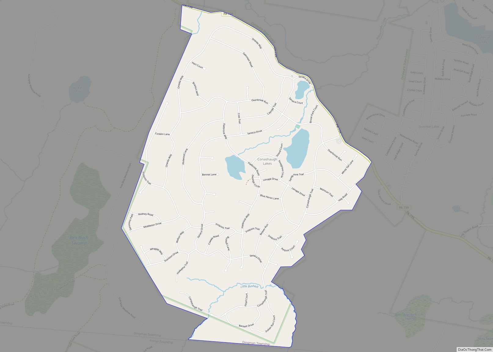
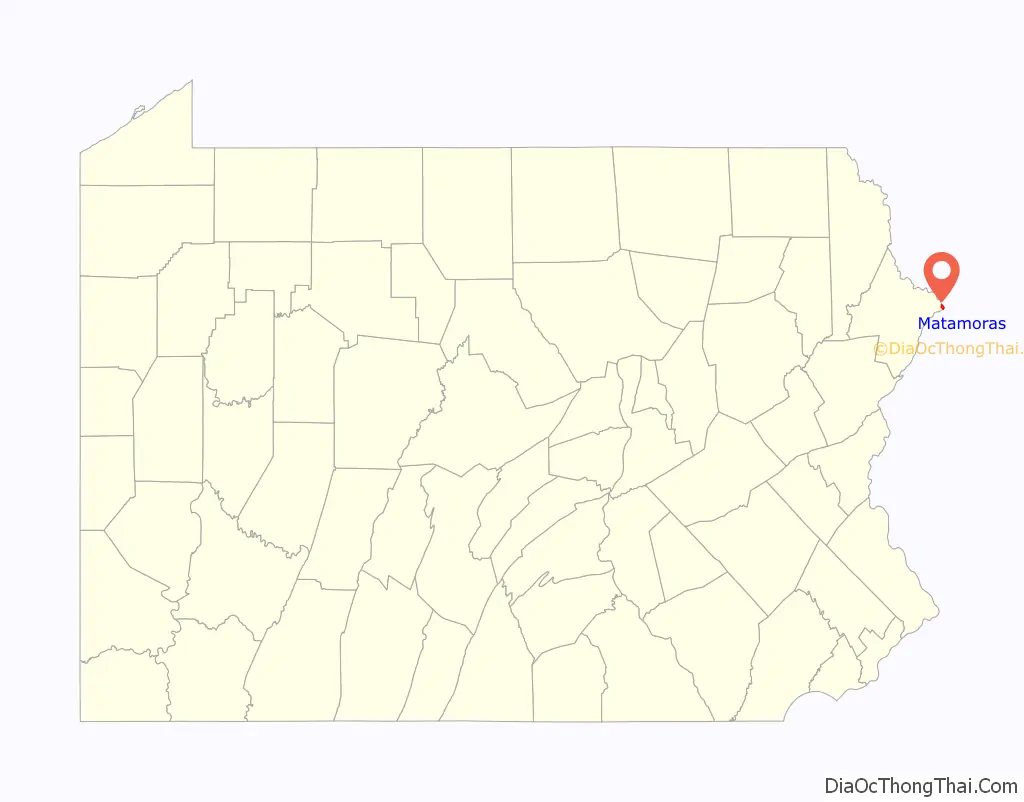
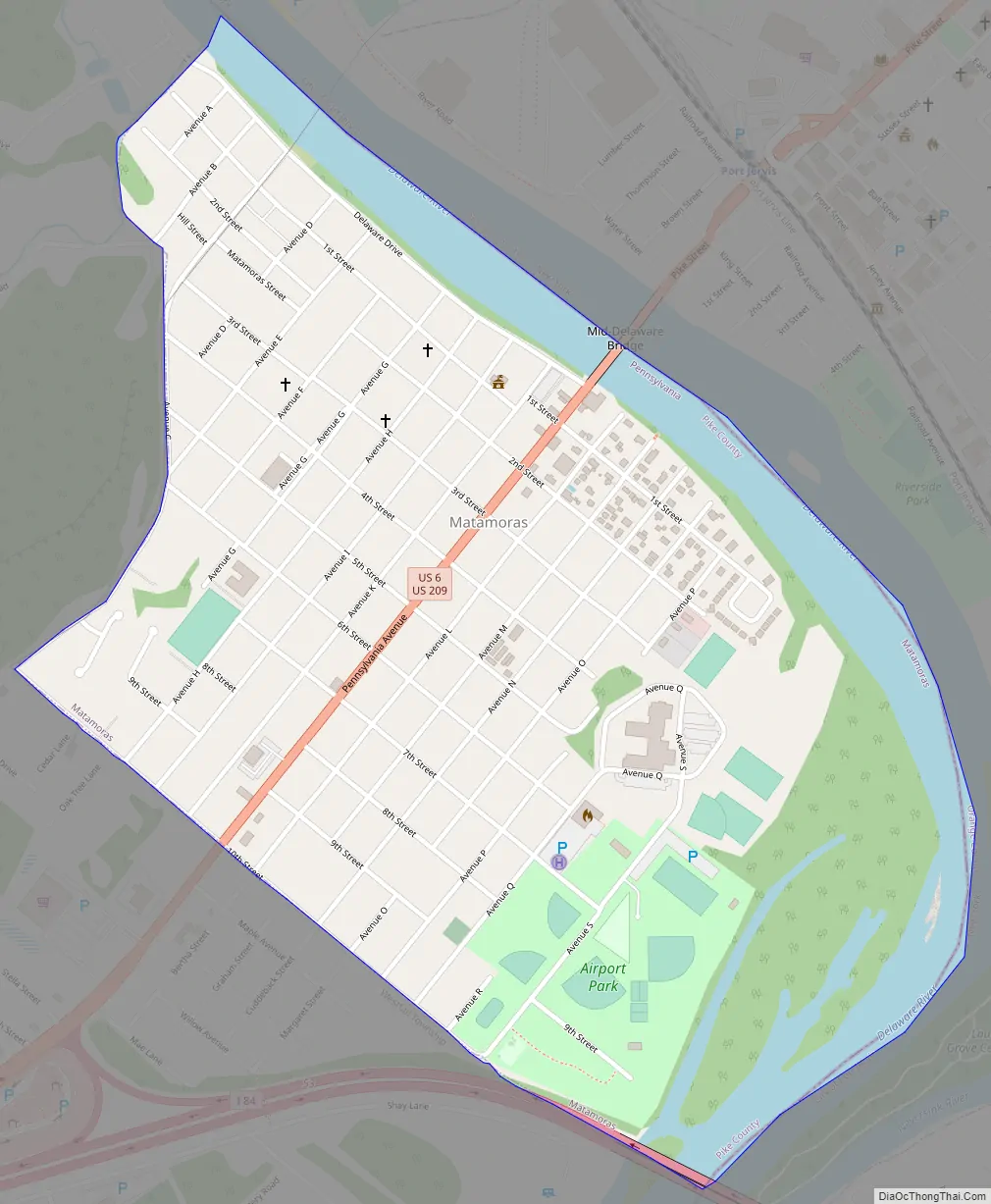
Matamoras Road Map
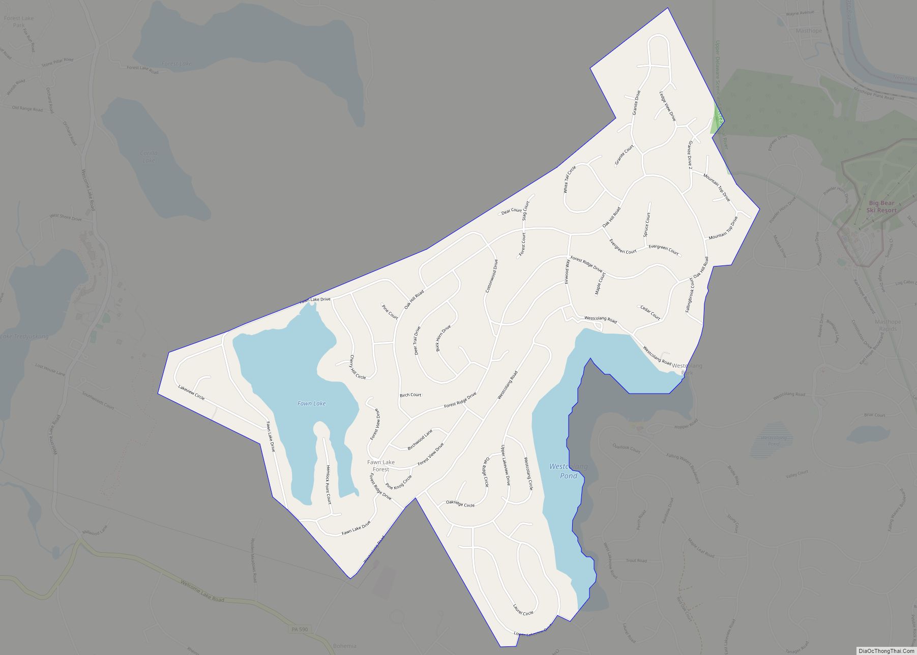
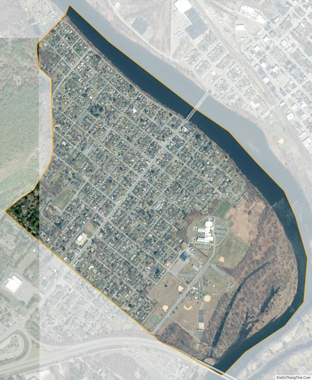
Matamoras city Satellite Map
Geography
Matamoras is located at 41°22′N 74°42′W / 41.367°N 74.700°W / 41.367; -74.700 (41.3678, −74.7018). It is the easternmost point in Pennsylvania. Across the Delaware River are Port Jervis, New York and Montague, New Jersey. At the nearby confluence of the Delaware and Neversink rivers is the Tri-States Monument, marking the eastern end of the boundary between New York and Pennsylvania.
According to the United States Census Bureau, the borough has a total area of 0.8 sq miles, of which 0.7 square miles (1.8 km) is land and 0.1 square miles (0.26 km) (11.54%) is water.
US Routes 6 and 209 as they pass through Matamoras.
Facing the bridge to Port Jervis, New York on US Routes 6 and 209
The Mid Delaware Bridge
Borough Hall
See also
Map of Pennsylvania State and its subdivision:- Adams
- Allegheny
- Armstrong
- Beaver
- Bedford
- Berks
- Blair
- Bradford
- Bucks
- Butler
- Cambria
- Cameron
- Carbon
- Centre
- Chester
- Clarion
- Clearfield
- Clinton
- Columbia
- Crawford
- Cumberland
- Dauphin
- Delaware
- Elk
- Erie
- Fayette
- Forest
- Franklin
- Fulton
- Greene
- Huntingdon
- Indiana
- Jefferson
- Juniata
- Lackawanna
- Lancaster
- Lawrence
- Lebanon
- Lehigh
- Luzerne
- Lycoming
- Mc Kean
- Mercer
- Mifflin
- Monroe
- Montgomery
- Montour
- Northampton
- Northumberland
- Perry
- Philadelphia
- Pike
- Potter
- Schuylkill
- Snyder
- Somerset
- Sullivan
- Susquehanna
- Tioga
- Union
- Venango
- Warren
- Washington
- Wayne
- Westmoreland
- Wyoming
- York
- Alabama
- Alaska
- Arizona
- Arkansas
- California
- Colorado
- Connecticut
- Delaware
- District of Columbia
- Florida
- Georgia
- Hawaii
- Idaho
- Illinois
- Indiana
- Iowa
- Kansas
- Kentucky
- Louisiana
- Maine
- Maryland
- Massachusetts
- Michigan
- Minnesota
- Mississippi
- Missouri
- Montana
- Nebraska
- Nevada
- New Hampshire
- New Jersey
- New Mexico
- New York
- North Carolina
- North Dakota
- Ohio
- Oklahoma
- Oregon
- Pennsylvania
- Rhode Island
- South Carolina
- South Dakota
- Tennessee
- Texas
- Utah
- Vermont
- Virginia
- Washington
- West Virginia
- Wisconsin
- Wyoming