Hereford is a census-designated place in Hereford Township, Berks County, Pennsylvania, United States. The community lies at the intersection of Pennsylvania Routes 29 and 100, which connect it to East Greenville and to Pottstown, respectively to the south. These routes continue north on Chestnut Street to Shimerville in Lehigh County, where 29 continues toward Allentown. The Perkiomen Creek flows southward through Hereford to the Schuylkill River.
| Name: | Hereford CDP |
|---|---|
| LSAD Code: | 57 |
| LSAD Description: | CDP (suffix) |
| State: | Pennsylvania |
| County: | Berks County |
| Total Area: | 0.99 sq mi (2.57 km²) |
| Land Area: | 0.99 sq mi (2.56 km²) |
| Water Area: | 0.00 sq mi (0.01 km²) |
| Total Population: | 933 |
| Population Density: | 942.42/sq mi (363.89/km²) |
| ZIP code: | 18056 |
| Area code: | 215, 267 and 445 |
| FIPS code: | 4234008 |
Online Interactive Map
Click on ![]() to view map in "full screen" mode.
to view map in "full screen" mode.
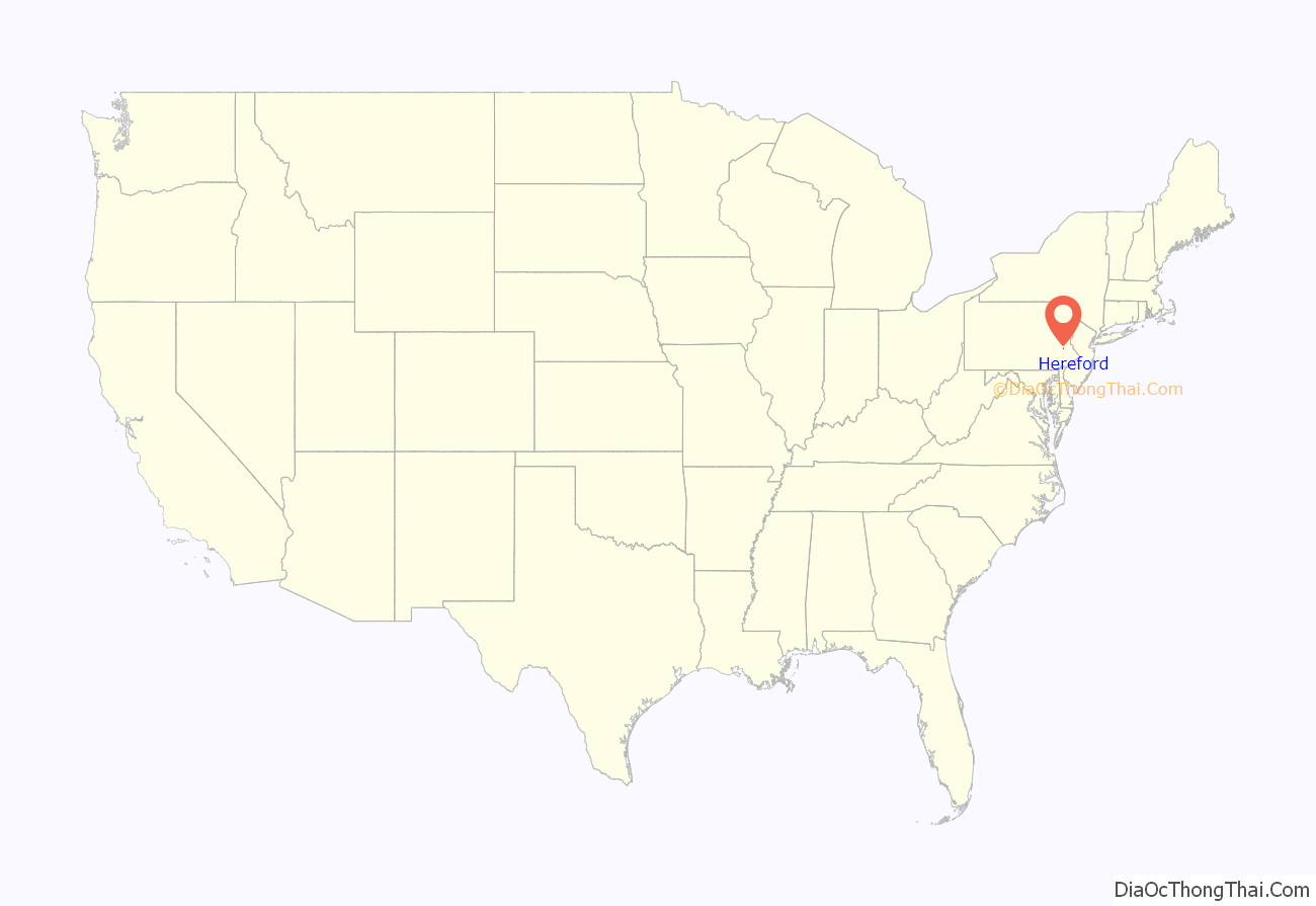
Hereford location map. Where is Hereford CDP?
History
A post office called Hereford was in operation from 1830 to 2019. The community took its name from Hereford Township. It was previously known as Treichlersville. At the end of March 2019 the post office closed on very short notice because the owner refused to renew the lease. The post office has since moved from the same building as Turkey Hill to the fire station building.
Hereford Road Map
Hereford city Satellite Map
See also
Map of Pennsylvania State and its subdivision:- Adams
- Allegheny
- Armstrong
- Beaver
- Bedford
- Berks
- Blair
- Bradford
- Bucks
- Butler
- Cambria
- Cameron
- Carbon
- Centre
- Chester
- Clarion
- Clearfield
- Clinton
- Columbia
- Crawford
- Cumberland
- Dauphin
- Delaware
- Elk
- Erie
- Fayette
- Forest
- Franklin
- Fulton
- Greene
- Huntingdon
- Indiana
- Jefferson
- Juniata
- Lackawanna
- Lancaster
- Lawrence
- Lebanon
- Lehigh
- Luzerne
- Lycoming
- Mc Kean
- Mercer
- Mifflin
- Monroe
- Montgomery
- Montour
- Northampton
- Northumberland
- Perry
- Philadelphia
- Pike
- Potter
- Schuylkill
- Snyder
- Somerset
- Sullivan
- Susquehanna
- Tioga
- Union
- Venango
- Warren
- Washington
- Wayne
- Westmoreland
- Wyoming
- York
- Alabama
- Alaska
- Arizona
- Arkansas
- California
- Colorado
- Connecticut
- Delaware
- District of Columbia
- Florida
- Georgia
- Hawaii
- Idaho
- Illinois
- Indiana
- Iowa
- Kansas
- Kentucky
- Louisiana
- Maine
- Maryland
- Massachusetts
- Michigan
- Minnesota
- Mississippi
- Missouri
- Montana
- Nebraska
- Nevada
- New Hampshire
- New Jersey
- New Mexico
- New York
- North Carolina
- North Dakota
- Ohio
- Oklahoma
- Oregon
- Pennsylvania
- Rhode Island
- South Carolina
- South Dakota
- Tennessee
- Texas
- Utah
- Vermont
- Virginia
- Washington
- West Virginia
- Wisconsin
- Wyoming
