Hometown is a village (a neighborhood, and now a census-designated place (CDP) once having a post office) in Rush Township, Schuylkill County, Pennsylvania, United States that sits astride a crossing point between important transportation corridors. The population was 1,399 at the 2000 census, and excepting for the area near the east–west PA 54 running mostly parallel to the tracks of the Reading, Blue Mountain, and Northern Railroad — once the important east-west shortline Nesquehoning & Mahanoy Railroad — and the PA 54 junction with PA 309.
| Name: | Hometown CDP |
|---|---|
| LSAD Code: | 57 |
| LSAD Description: | CDP (suffix) |
| State: | Pennsylvania |
| County: | Schuylkill County |
| Elevation: | 1,129 ft (344 m) |
| Total Area: | 2.00 sq mi (5.17 km²) |
| Land Area: | 2.00 sq mi (5.17 km²) |
| Water Area: | 0.00 sq mi (0.00 km²) |
| Total Population: | 1,414 |
| Population Density: | 707.71/sq mi (273.27/km²) |
| Area code: | 570 |
| FIPS code: | 4235448 |
Online Interactive Map
Click on ![]() to view map in "full screen" mode.
to view map in "full screen" mode.
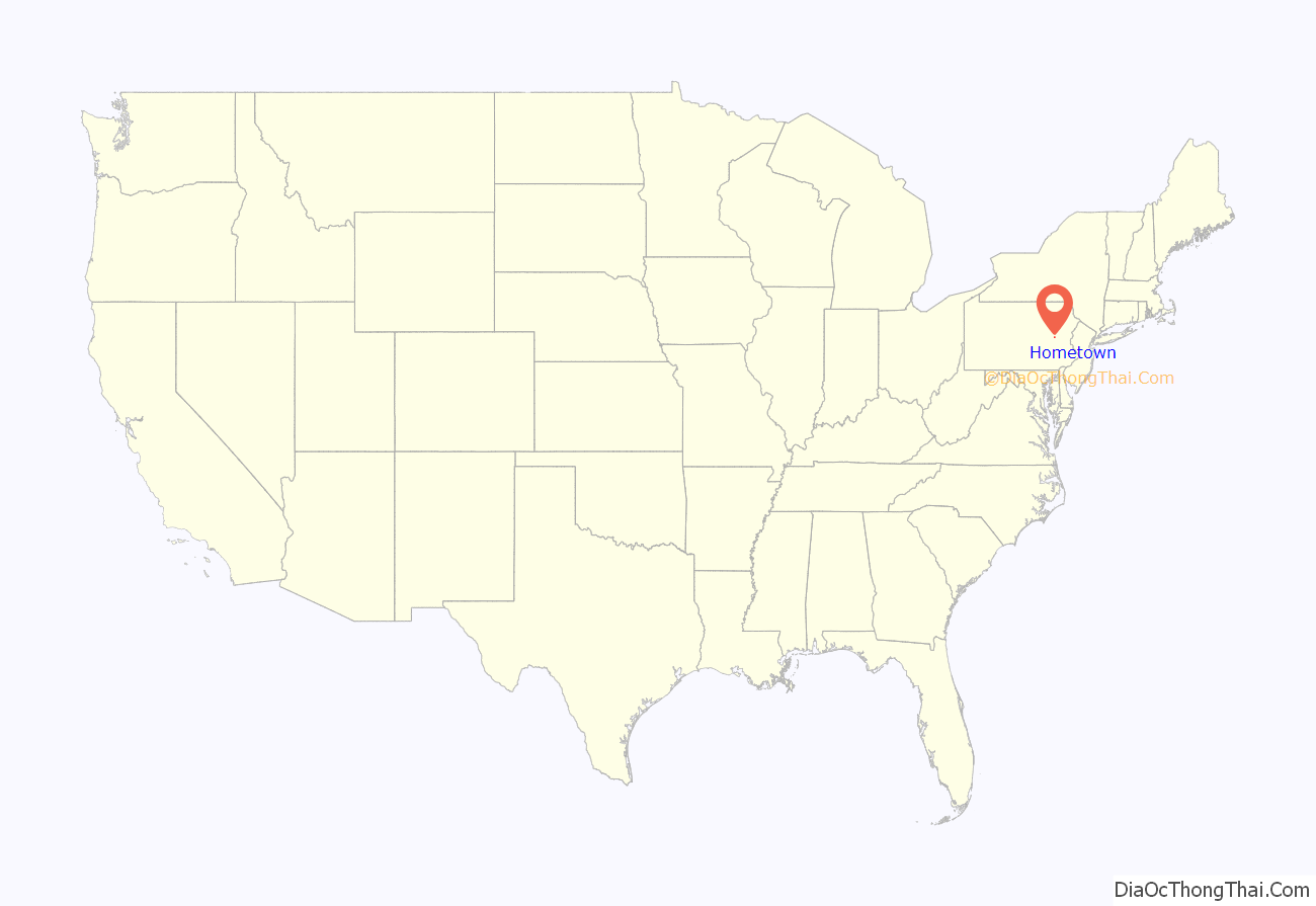
Hometown location map. Where is Hometown CDP?
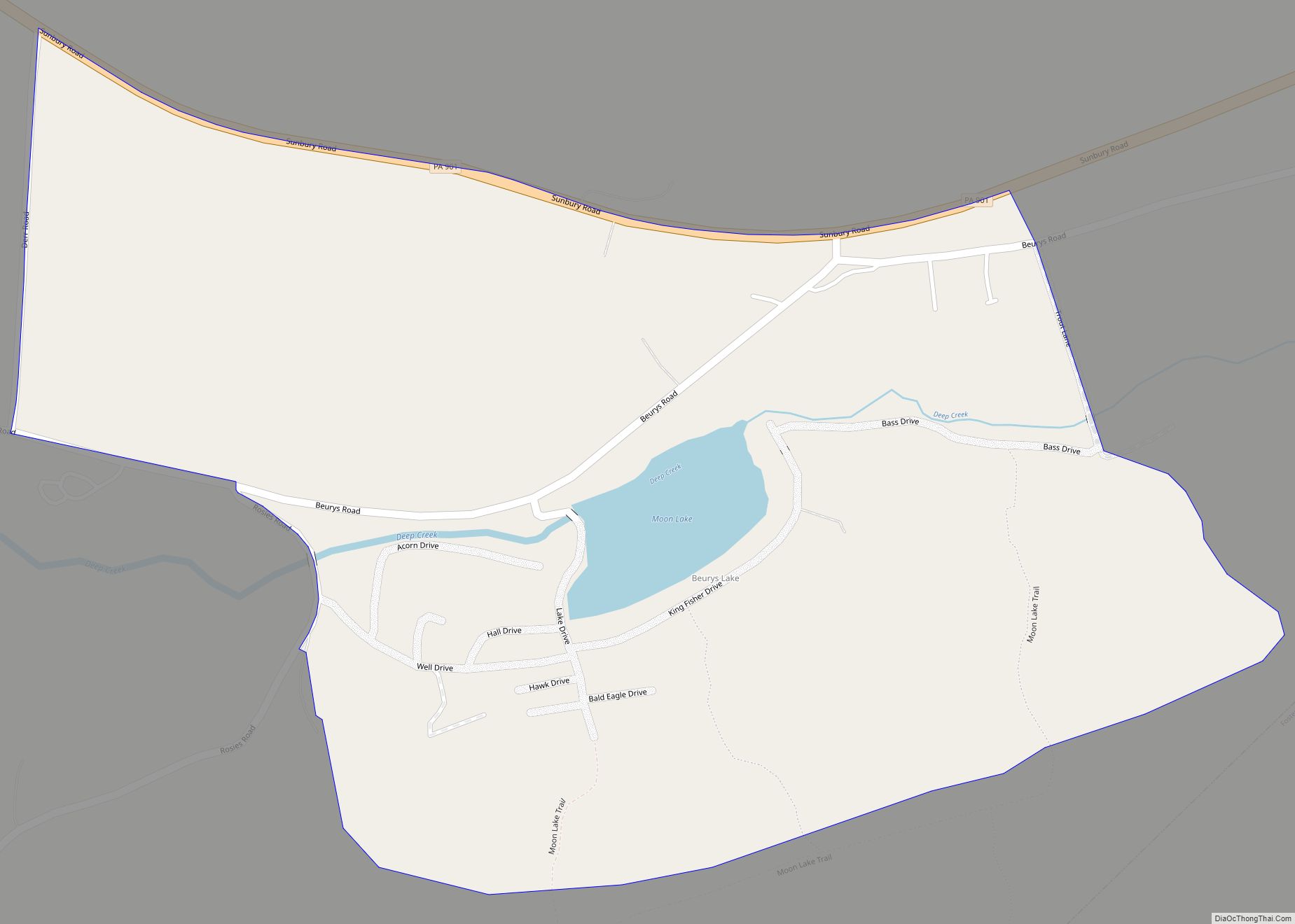
Hometown Road Map
Hometown city Satellite Map
Geography
Hometown is located at 40°49′20″N 75°59′2″W / 40.82222°N 75.98389°W / 40.82222; -75.98389 (40.822308, -75.983928).
According to the United States Census Bureau, the CDP has a total area of 2.0 square miles (5.2 km), all land. Hometown is located 2 miles (3.2 km) north of Tamaqua and 10 miles (16 km) south of Hazleton at the intersections of Route 54 and 309. Hometown’s elevation is 1,129 feet (344 m) above sea level. It uses the Tamaqua zip code of 18252.
The oldest village in Rush Township, Hometown was founded by Messrs. Duncan of Philadelphia. They established a hotel in 1829, which was transferred to Jacob Faust in 1831. Tradition has it that Hometown was a favorite site of the original Native American inhabitants.
See also
Map of Pennsylvania State and its subdivision:- Adams
- Allegheny
- Armstrong
- Beaver
- Bedford
- Berks
- Blair
- Bradford
- Bucks
- Butler
- Cambria
- Cameron
- Carbon
- Centre
- Chester
- Clarion
- Clearfield
- Clinton
- Columbia
- Crawford
- Cumberland
- Dauphin
- Delaware
- Elk
- Erie
- Fayette
- Forest
- Franklin
- Fulton
- Greene
- Huntingdon
- Indiana
- Jefferson
- Juniata
- Lackawanna
- Lancaster
- Lawrence
- Lebanon
- Lehigh
- Luzerne
- Lycoming
- Mc Kean
- Mercer
- Mifflin
- Monroe
- Montgomery
- Montour
- Northampton
- Northumberland
- Perry
- Philadelphia
- Pike
- Potter
- Schuylkill
- Snyder
- Somerset
- Sullivan
- Susquehanna
- Tioga
- Union
- Venango
- Warren
- Washington
- Wayne
- Westmoreland
- Wyoming
- York
- Alabama
- Alaska
- Arizona
- Arkansas
- California
- Colorado
- Connecticut
- Delaware
- District of Columbia
- Florida
- Georgia
- Hawaii
- Idaho
- Illinois
- Indiana
- Iowa
- Kansas
- Kentucky
- Louisiana
- Maine
- Maryland
- Massachusetts
- Michigan
- Minnesota
- Mississippi
- Missouri
- Montana
- Nebraska
- Nevada
- New Hampshire
- New Jersey
- New Mexico
- New York
- North Carolina
- North Dakota
- Ohio
- Oklahoma
- Oregon
- Pennsylvania
- Rhode Island
- South Carolina
- South Dakota
- Tennessee
- Texas
- Utah
- Vermont
- Virginia
- Washington
- West Virginia
- Wisconsin
- Wyoming
