Honey Brook is a borough in Chester County, Pennsylvania, United States. The population of the borough was 1,895 at the 2020 census. The borough is surrounded by Honey Brook Township, and both are referred to locally collectively as Honey Brook.
| Name: | Honey Brook borough |
|---|---|
| LSAD Code: | 21 |
| LSAD Description: | borough (suffix) |
| State: | Pennsylvania |
| County: | Chester County |
| Incorporated: | 1891 |
| Elevation: | 738 ft (225 m) |
| Total Area: | 0.48 sq mi (1.24 km²) |
| Land Area: | 0.48 sq mi (1.24 km²) |
| Water Area: | 0.00 sq mi (0.00 km²) |
| Total Population: | 1,892 |
| Population Density: | 3,949.90/sq mi (1,525.10/km²) |
| ZIP code: | 19344 |
| FIPS code: | 4235528 |
| Website: | www.honeybrookborough.net |
Online Interactive Map
Click on ![]() to view map in "full screen" mode.
to view map in "full screen" mode.
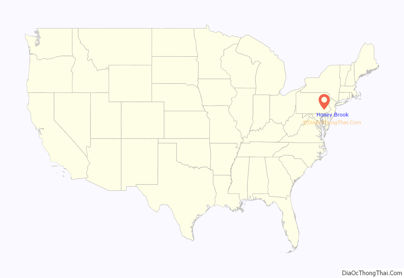
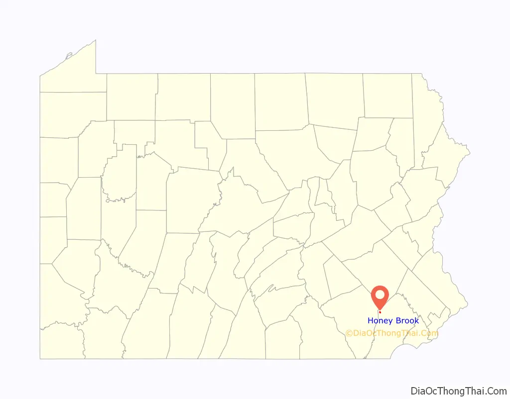
Honey Brook location map. Where is Honey Brook borough?
History
Honey Brook Township was divided from Nantmeal Township in 1789. The owner of the surrounding property, Andrew Boyer, established a town plan for the village of Waynesburg (named in honor of Revolutionary War general Mad Anthony Wayne) and began selling lots in June 1813. There is a story that this was done by a schoolmaster named Stinson, but all of the deeds reference Boyer as the owner with no mention of Stinson, and there was nobody named Stinson in the Federal 1810 or 1920 census reports for Chester County. This “myth” seems to have originated in the 19th century.
The residents changed the name to Honey Brook in 1884. Honey Brook is an incorrect English translation of Nantmel, a village in Radnorshire, now part of Powys. The Welsh name Nantmel actually means ‘Maël’s valley’, Maël being a tenth-century prince. Honey Brook was incorporated as a borough in 1891.
In 1884 the railroad from Philadelphia-Downingtown-Lancaster was completed and ran along the south side of Horseshoe Pike. The railroad caused a problem for the village: there was another Waynesburg in western Pennsylvania. The freight was being routed to the wrong stations, so the name was changed from Waynesburg to Honey Brook.
As the town grew, a petition was circulated in 1891 for the town to be incorporated into a borough. Almost every homeowner signed. With the incorporation as a borough, the main problems to overcome were: street lighting, sidewalks, and, several years later, water.
The borough accepted public water in September 1896. Electric streetlights were installed after much discussion in 1915. Before that, gas lamps were used to light the streets. Over the years, boardwalks were replaced by bricks, then by concrete sidewalks. There are still two brick sidewalks in the borough. Horseshoe Pike, formerly Main Street, has the only fully paved sidewalks in the borough.
When the borough was incorporated, the census was around 600. As of the census in 2000, the population had doubled.
The oldest organization in Honey Brook Borough is Honey Brook United Methodist Church. The longest continuous business is W.L. White’s & Sons.
Honey Brook Road Map
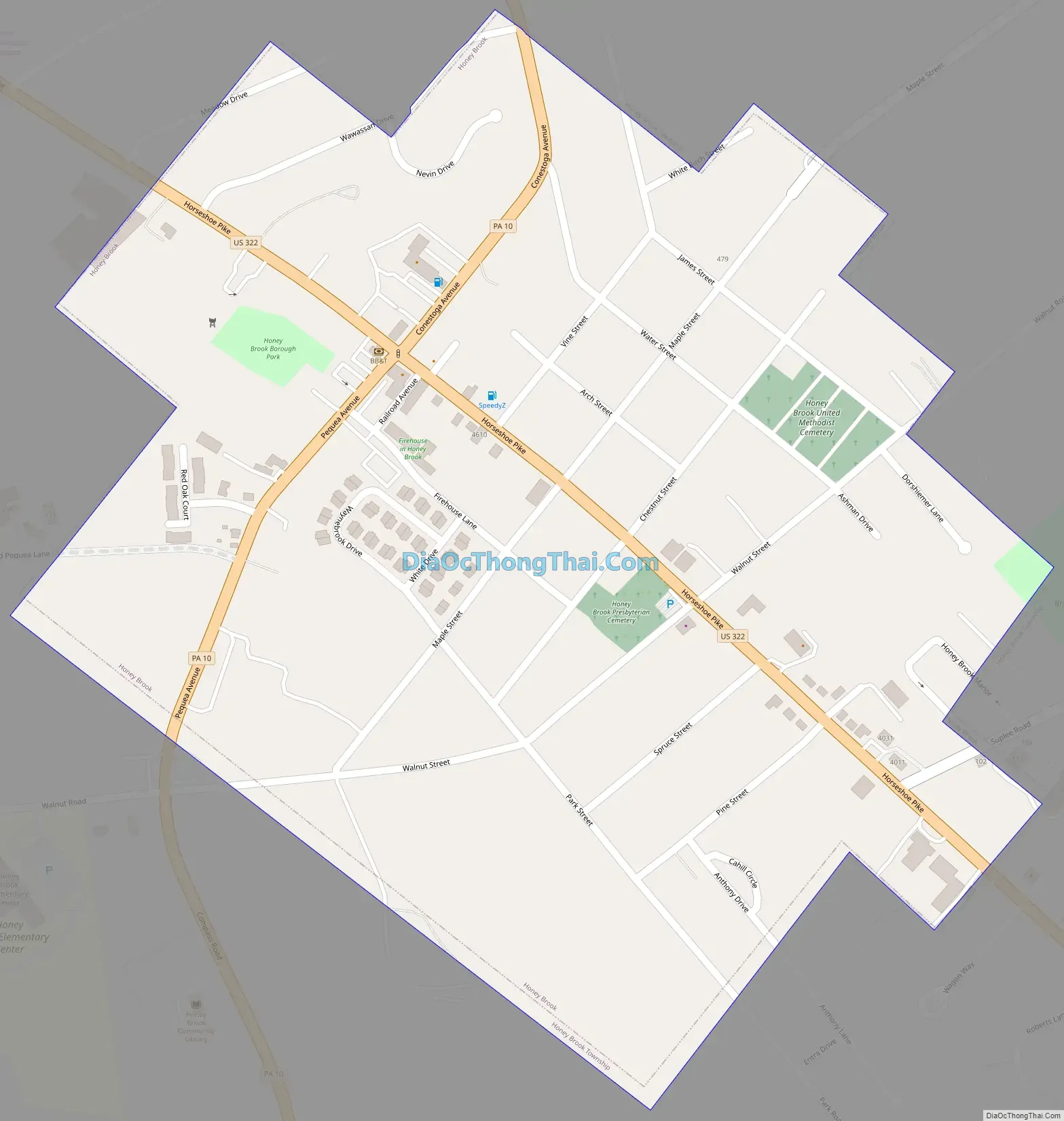
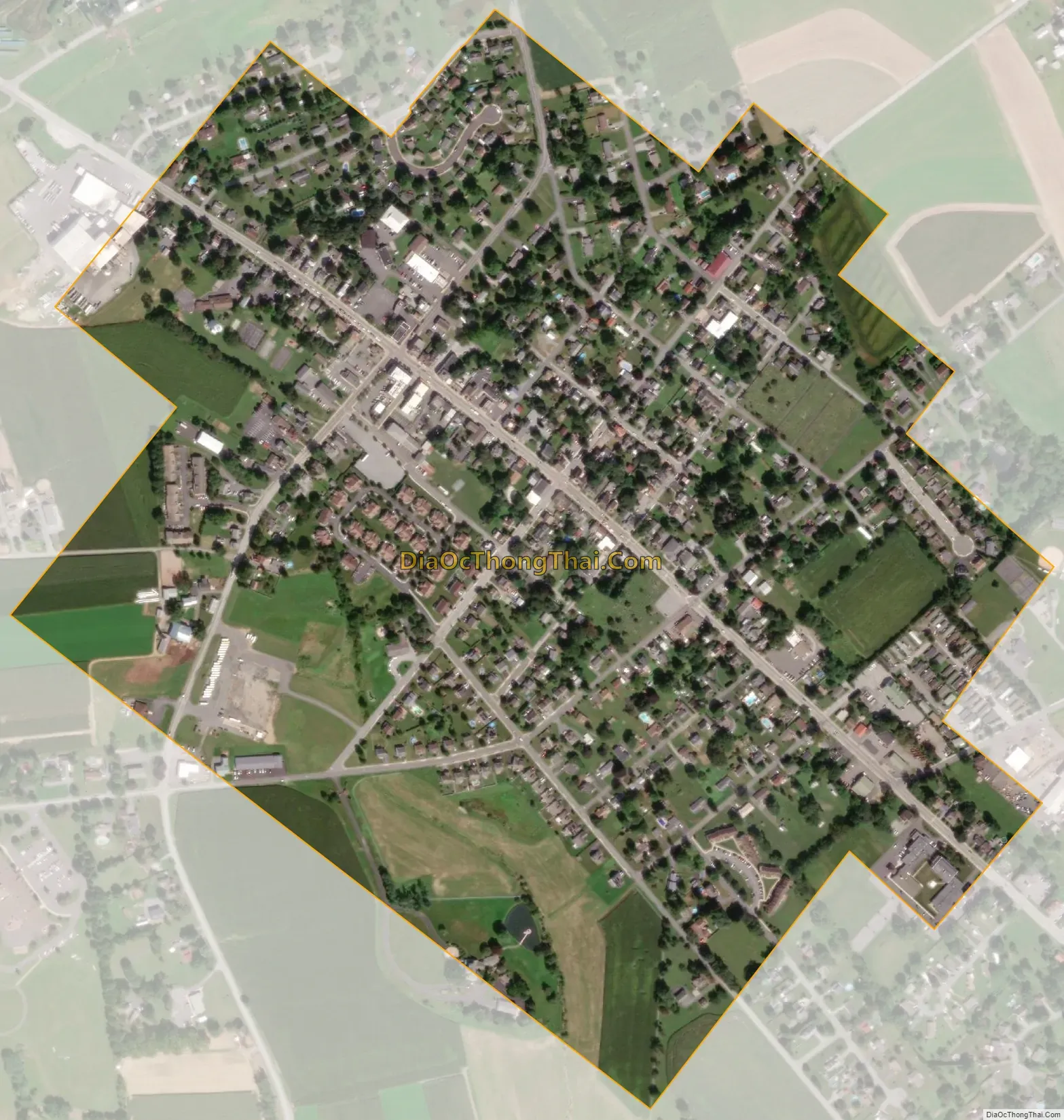
Honey Brook city Satellite Map
Geography
Honey Brook is at 40°5′39″N 75°54′35″W / 40.09417°N 75.90972°W / 40.09417; -75.90972 (40.094260, -75.909799).
According to the United States Census Bureau, the borough has a total area of 0.5 square miles (1.3 km), all land. The borough lies on a ridge between the headwaters of the east and west branches of the Brandywine Creek.
See also
Map of Pennsylvania State and its subdivision:- Adams
- Allegheny
- Armstrong
- Beaver
- Bedford
- Berks
- Blair
- Bradford
- Bucks
- Butler
- Cambria
- Cameron
- Carbon
- Centre
- Chester
- Clarion
- Clearfield
- Clinton
- Columbia
- Crawford
- Cumberland
- Dauphin
- Delaware
- Elk
- Erie
- Fayette
- Forest
- Franklin
- Fulton
- Greene
- Huntingdon
- Indiana
- Jefferson
- Juniata
- Lackawanna
- Lancaster
- Lawrence
- Lebanon
- Lehigh
- Luzerne
- Lycoming
- Mc Kean
- Mercer
- Mifflin
- Monroe
- Montgomery
- Montour
- Northampton
- Northumberland
- Perry
- Philadelphia
- Pike
- Potter
- Schuylkill
- Snyder
- Somerset
- Sullivan
- Susquehanna
- Tioga
- Union
- Venango
- Warren
- Washington
- Wayne
- Westmoreland
- Wyoming
- York
- Alabama
- Alaska
- Arizona
- Arkansas
- California
- Colorado
- Connecticut
- Delaware
- District of Columbia
- Florida
- Georgia
- Hawaii
- Idaho
- Illinois
- Indiana
- Iowa
- Kansas
- Kentucky
- Louisiana
- Maine
- Maryland
- Massachusetts
- Michigan
- Minnesota
- Mississippi
- Missouri
- Montana
- Nebraska
- Nevada
- New Hampshire
- New Jersey
- New Mexico
- New York
- North Carolina
- North Dakota
- Ohio
- Oklahoma
- Oregon
- Pennsylvania
- Rhode Island
- South Carolina
- South Dakota
- Tennessee
- Texas
- Utah
- Vermont
- Virginia
- Washington
- West Virginia
- Wisconsin
- Wyoming