Hopewell is a borough in Bedford County, Pennsylvania, United States. The population was 188 at the 2020 census.
| Name: | Hopewell borough |
|---|---|
| LSAD Code: | 21 |
| LSAD Description: | borough (suffix) |
| State: | Pennsylvania |
| County: | Bedford County |
| Incorporated: | 1895 |
| Total Area: | 0.12 sq mi (0.30 km²) |
| Land Area: | 0.11 sq mi (0.29 km²) |
| Water Area: | 0.00 sq mi (0.01 km²) |
| Total Population: | 189 |
| Population Density: | 1,657.89/sq mi (642.05/km²) |
| Area code: | 814 |
| FIPS code: | 4235648 |
| GNISfeature ID: | 1214898 |
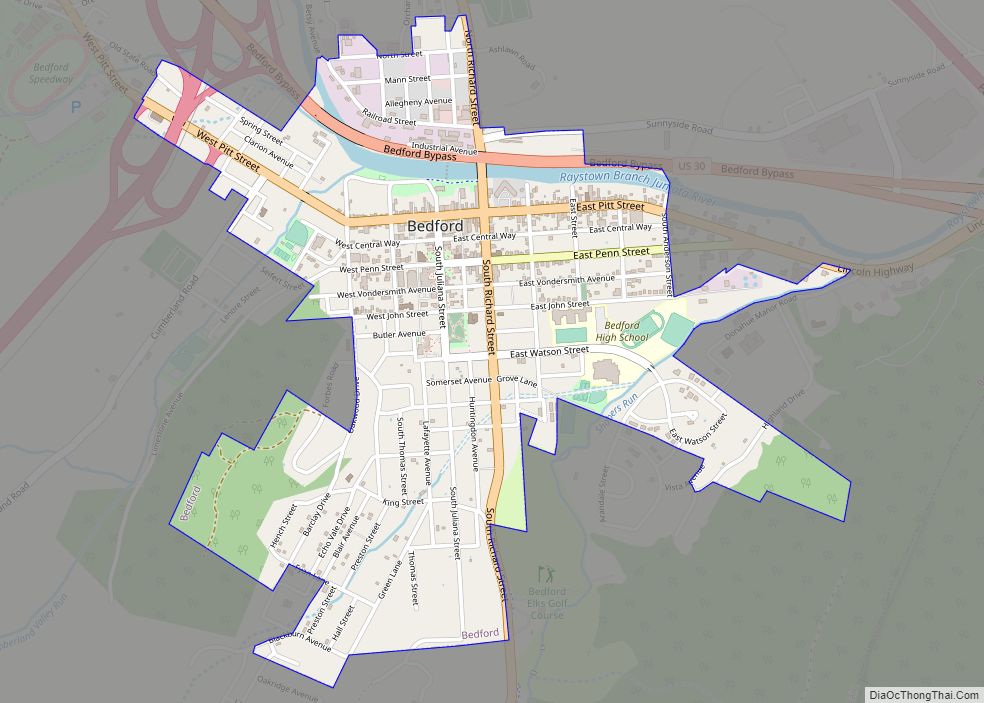
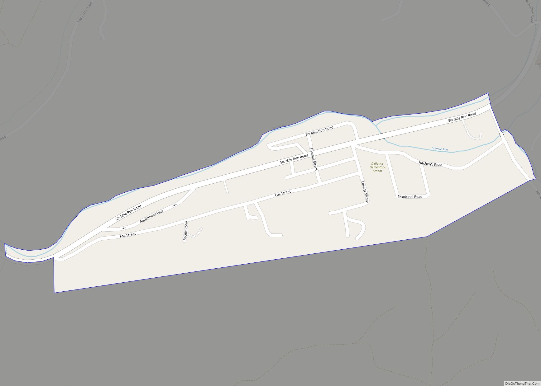
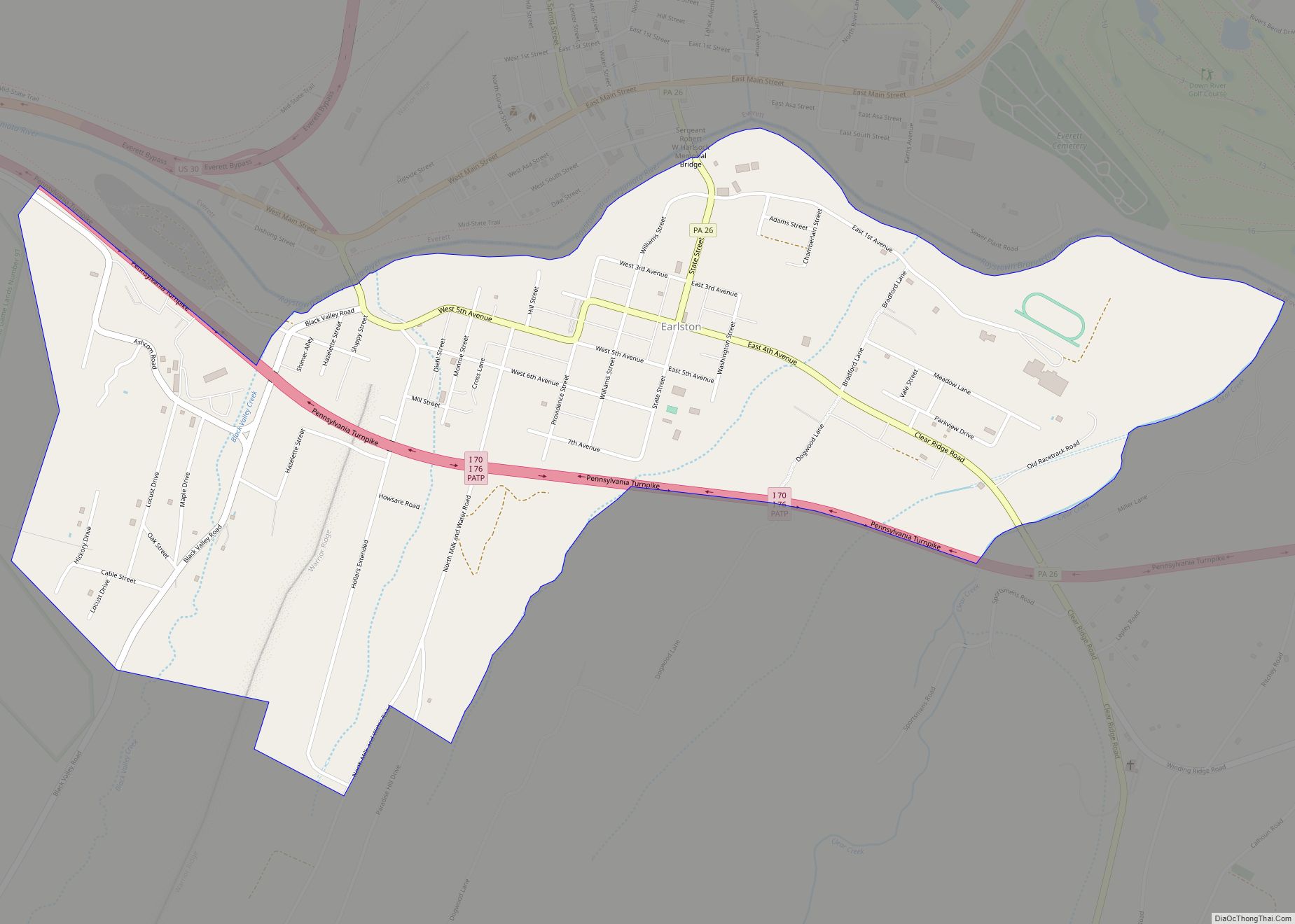
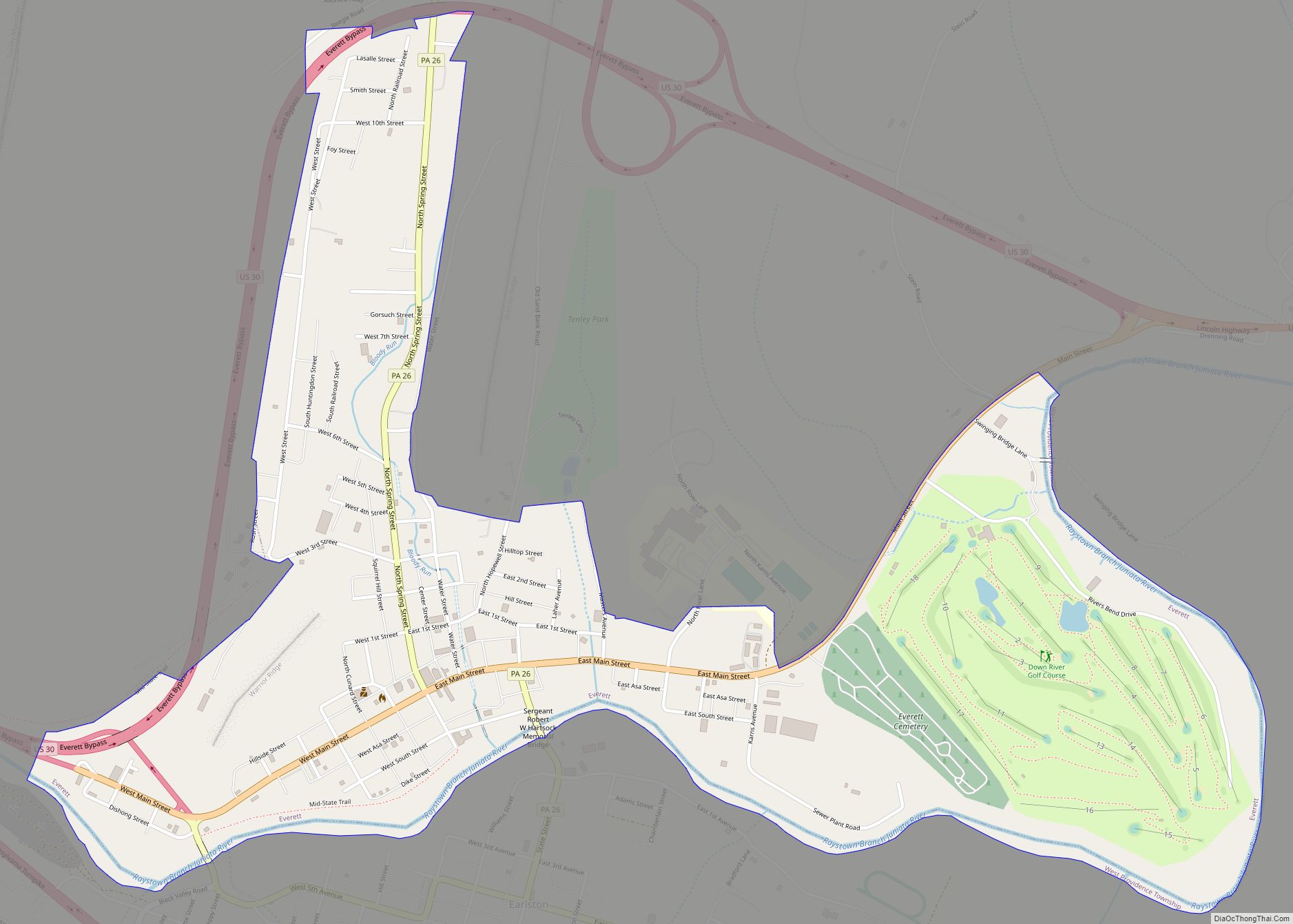
Online Interactive Map
Click on ![]() to view map in "full screen" mode.
to view map in "full screen" mode.
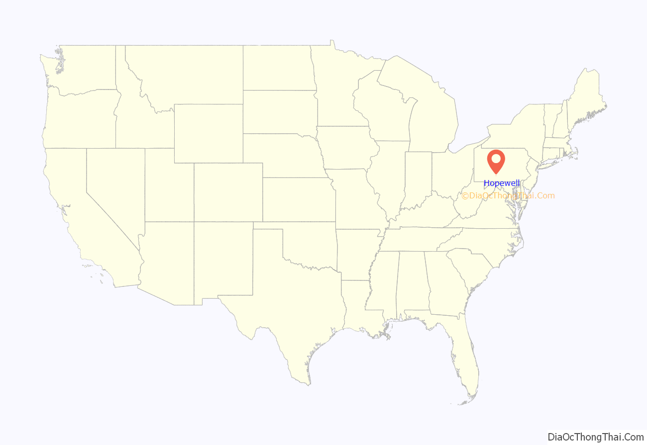
Hopewell location map. Where is Hopewell borough?
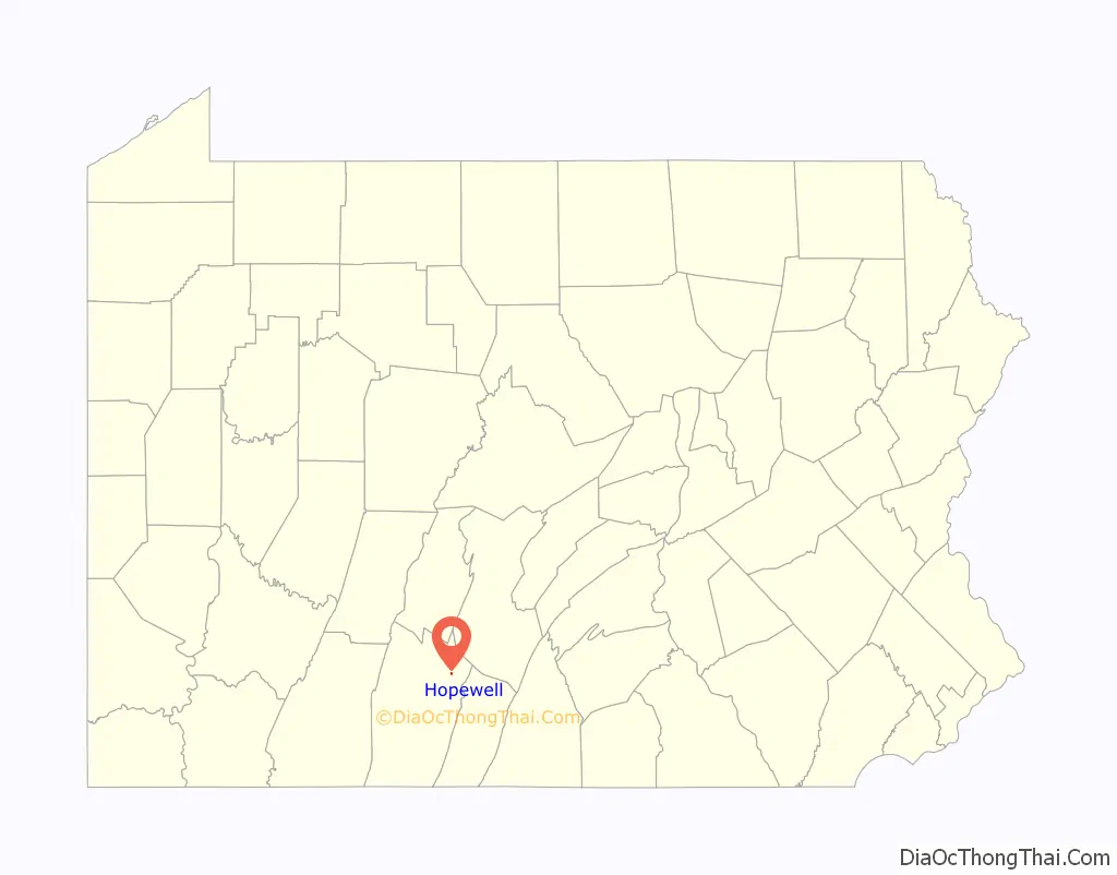
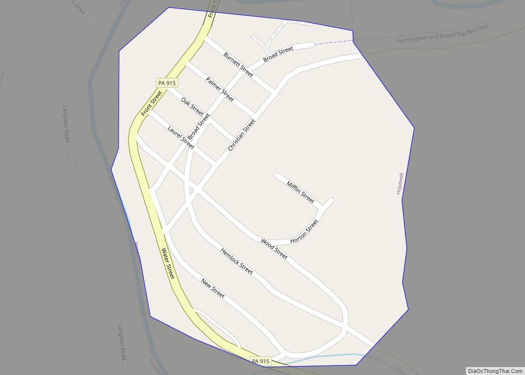
Hopewell Road Map
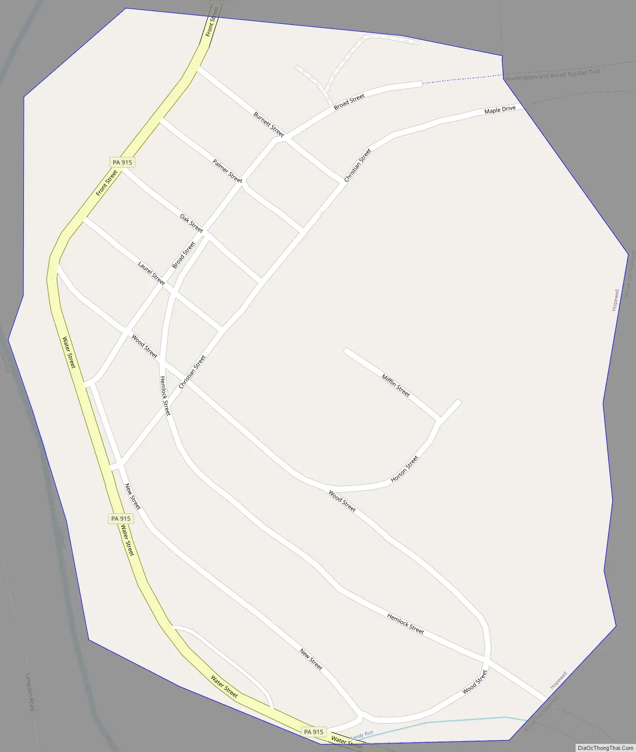
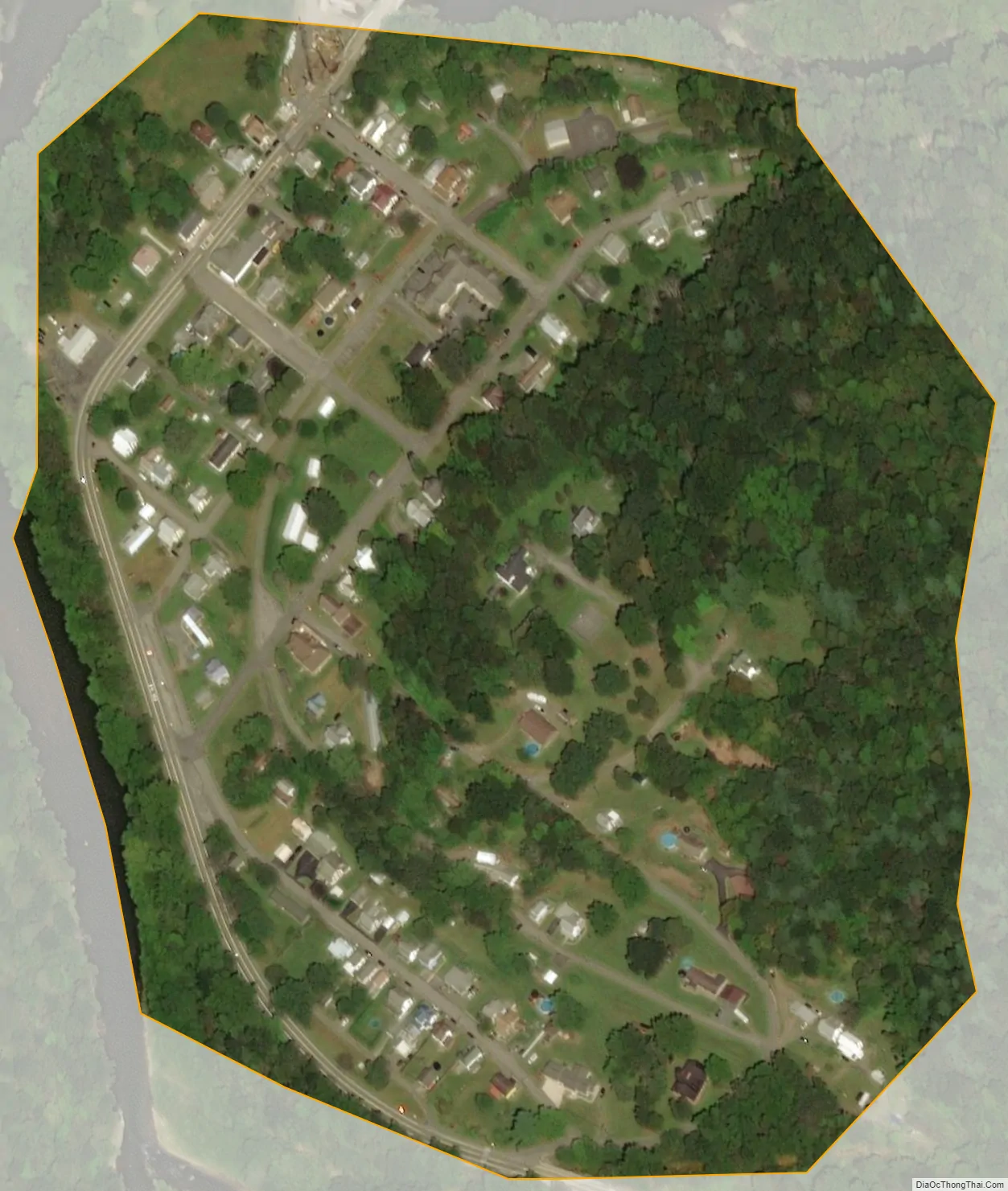
Hopewell city Satellite Map
Geography
Hopewell is located in northeastern Bedford County in the narrow valley of the Raystown Branch of the Juniata River. Riddlesburg Mountain rises to the east. The borough is bordered on the east by Broad Top Township and on the west by Hopewell Township.
Pennsylvania Route 915 passes through the borough as Water Street and Front Street. It leads southeast 7 miles (11 km) to Wells Tannery and 14 miles (23 km) to U.S. Route 30 on top of Sideling Hill. To the north it ends just outside the borough at Pennsylvania Route 26, which leads southwest 14 miles (23 km) to Everett and northeast 32 miles (51 km) to Huntingdon.
According to the United States Census Bureau, Hopewell has a total area of 0.11 square miles (0.29 km), all land.
See also
Map of Pennsylvania State and its subdivision:- Adams
- Allegheny
- Armstrong
- Beaver
- Bedford
- Berks
- Blair
- Bradford
- Bucks
- Butler
- Cambria
- Cameron
- Carbon
- Centre
- Chester
- Clarion
- Clearfield
- Clinton
- Columbia
- Crawford
- Cumberland
- Dauphin
- Delaware
- Elk
- Erie
- Fayette
- Forest
- Franklin
- Fulton
- Greene
- Huntingdon
- Indiana
- Jefferson
- Juniata
- Lackawanna
- Lancaster
- Lawrence
- Lebanon
- Lehigh
- Luzerne
- Lycoming
- Mc Kean
- Mercer
- Mifflin
- Monroe
- Montgomery
- Montour
- Northampton
- Northumberland
- Perry
- Philadelphia
- Pike
- Potter
- Schuylkill
- Snyder
- Somerset
- Sullivan
- Susquehanna
- Tioga
- Union
- Venango
- Warren
- Washington
- Wayne
- Westmoreland
- Wyoming
- York
- Alabama
- Alaska
- Arizona
- Arkansas
- California
- Colorado
- Connecticut
- Delaware
- District of Columbia
- Florida
- Georgia
- Hawaii
- Idaho
- Illinois
- Indiana
- Iowa
- Kansas
- Kentucky
- Louisiana
- Maine
- Maryland
- Massachusetts
- Michigan
- Minnesota
- Mississippi
- Missouri
- Montana
- Nebraska
- Nevada
- New Hampshire
- New Jersey
- New Mexico
- New York
- North Carolina
- North Dakota
- Ohio
- Oklahoma
- Oregon
- Pennsylvania
- Rhode Island
- South Carolina
- South Dakota
- Tennessee
- Texas
- Utah
- Vermont
- Virginia
- Washington
- West Virginia
- Wisconsin
- Wyoming