Houserville is an unincorporated community and census-designated place (CDP) in Centre County, Pennsylvania, United States. It is part of the State College, Pennsylvania Metropolitan Statistical Area. The population was 1,814 at the 2010 census.
| Name: | Houserville CDP |
|---|---|
| LSAD Code: | 57 |
| LSAD Description: | CDP (suffix) |
| State: | Pennsylvania |
| County: | Centre County |
| Elevation: | 980 ft (300 m) |
| Total Area: | 1.09 sq mi (2.84 km²) |
| Land Area: | 1.09 sq mi (2.84 km²) |
| Water Area: | 0.00 sq mi (0.00 km²) |
| Total Population: | 1,978 |
| Population Density: | 1,806.39/sq mi (697.65/km²) |
| ZIP code: | 16801 |
| Area code: | 814 |
| FIPS code: | 4235888 |
| GNISfeature ID: | 1177510 |
Online Interactive Map
Click on ![]() to view map in "full screen" mode.
to view map in "full screen" mode.
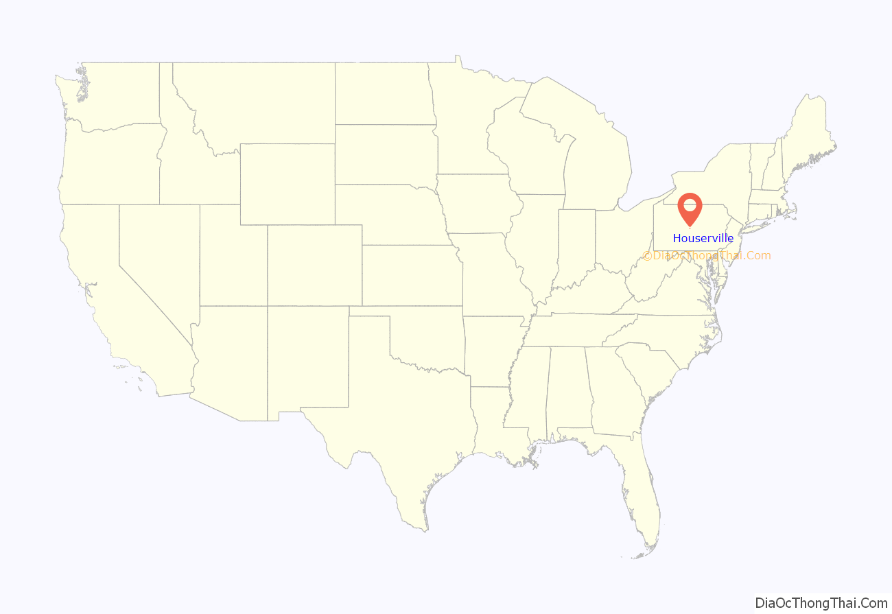
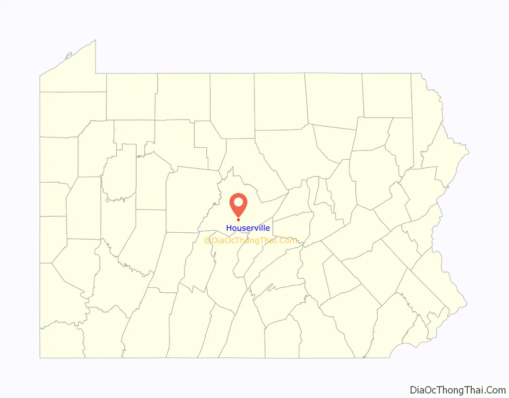
Houserville location map. Where is Houserville CDP?
History
Two archaeological sites, known as the Houserville and Tudek sites, are located between Houserville and State College. Once used in the production of stone tools, the sites may be 10,000 years old. Both are listed on the National Register of Historic Places.
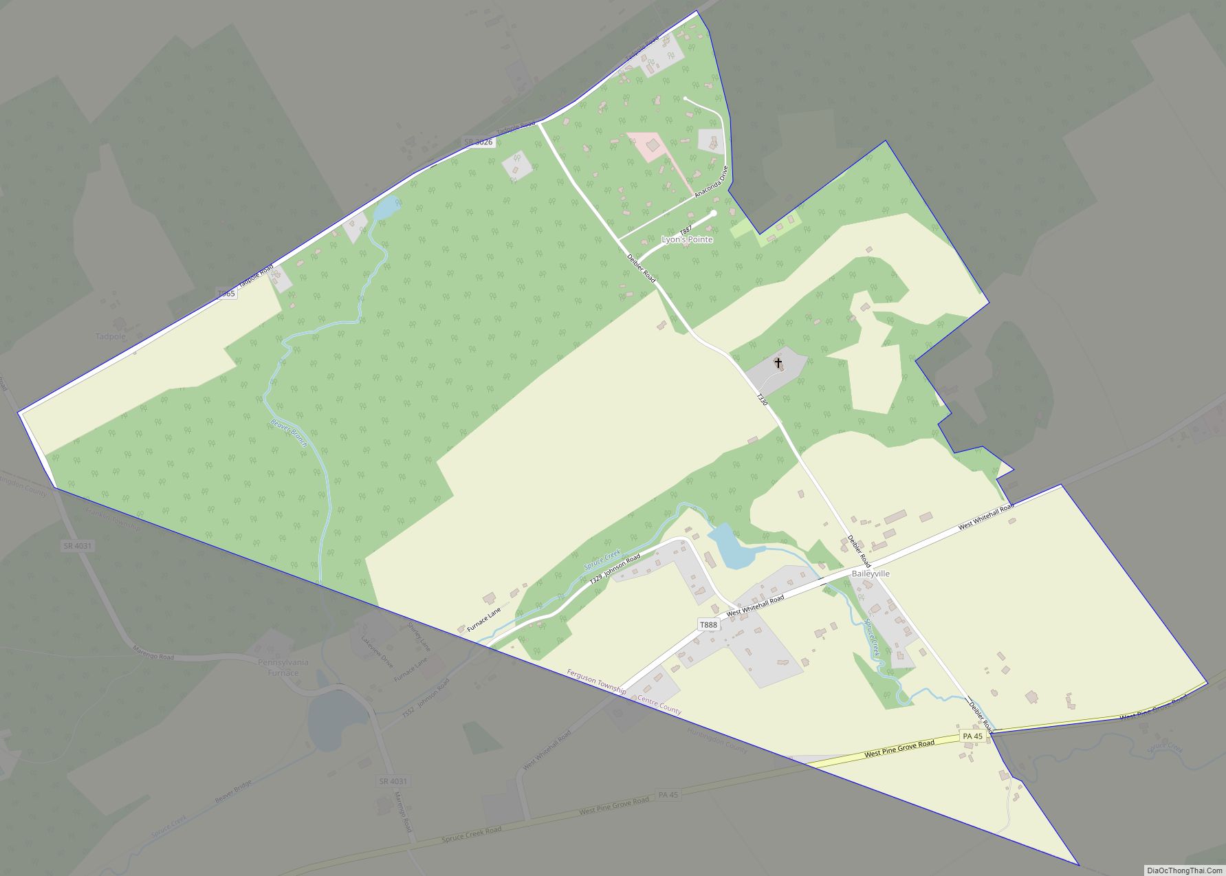
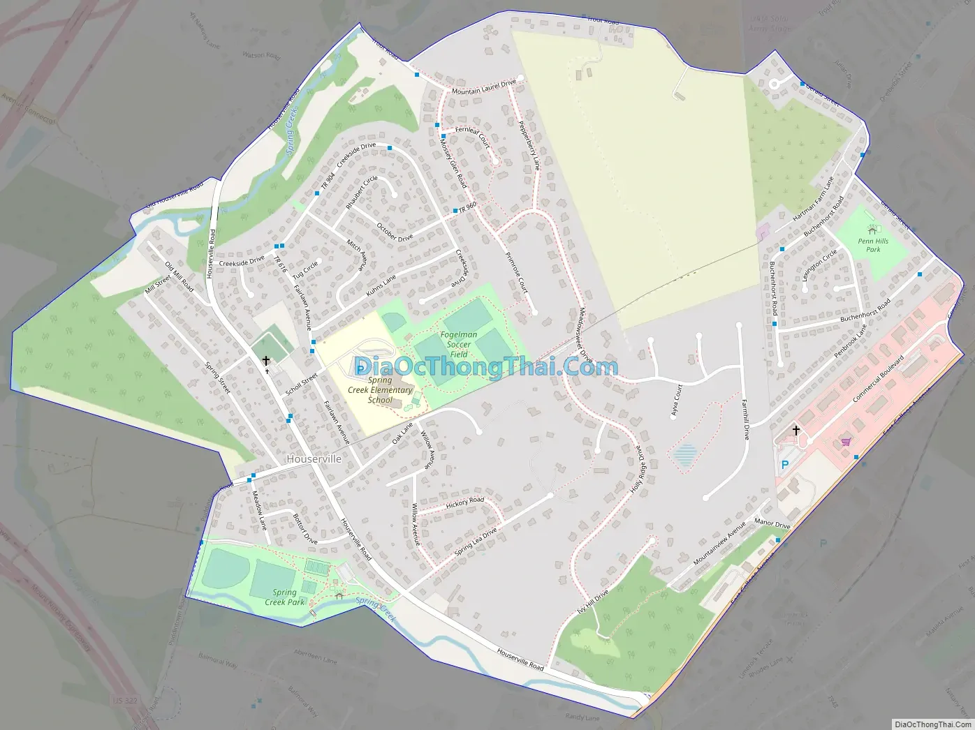
Houserville Road Map
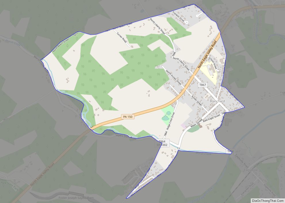
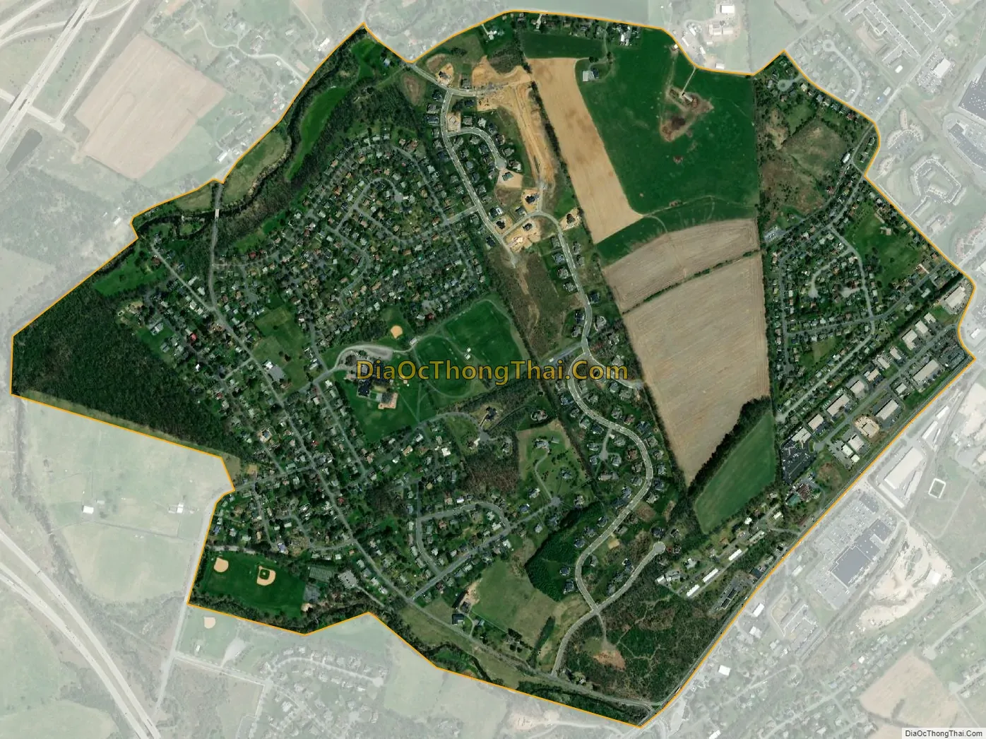
Houserville city Satellite Map
Geography
Houserville is located in southern Centre County at 40°49′41″N 77°49′42″W / 40.82806°N 77.82833°W / 40.82806; -77.82833 (40.828129, -77.828301), in the northern part of College Township. It is bordered to the south by the community of Lemont, also in College Township.
Houserville is 3 miles (5 km) northeast of the center of the borough of State College. Interstate 99 and U.S. Route 322 merge just to the west of Houserville; the most direct access to the highways is from Pennsylvania Route 26 in Lemont.
According to the United States Census Bureau, the Houserville CDP has a total area of 1.10 square miles (2.84 km), all land. Spring Creek forms the western edge of the CDP, flowing northward towards Bald Eagle Creek, a tributary of the West Branch Susquehanna River.
See also
Map of Pennsylvania State and its subdivision:- Adams
- Allegheny
- Armstrong
- Beaver
- Bedford
- Berks
- Blair
- Bradford
- Bucks
- Butler
- Cambria
- Cameron
- Carbon
- Centre
- Chester
- Clarion
- Clearfield
- Clinton
- Columbia
- Crawford
- Cumberland
- Dauphin
- Delaware
- Elk
- Erie
- Fayette
- Forest
- Franklin
- Fulton
- Greene
- Huntingdon
- Indiana
- Jefferson
- Juniata
- Lackawanna
- Lancaster
- Lawrence
- Lebanon
- Lehigh
- Luzerne
- Lycoming
- Mc Kean
- Mercer
- Mifflin
- Monroe
- Montgomery
- Montour
- Northampton
- Northumberland
- Perry
- Philadelphia
- Pike
- Potter
- Schuylkill
- Snyder
- Somerset
- Sullivan
- Susquehanna
- Tioga
- Union
- Venango
- Warren
- Washington
- Wayne
- Westmoreland
- Wyoming
- York
- Alabama
- Alaska
- Arizona
- Arkansas
- California
- Colorado
- Connecticut
- Delaware
- District of Columbia
- Florida
- Georgia
- Hawaii
- Idaho
- Illinois
- Indiana
- Iowa
- Kansas
- Kentucky
- Louisiana
- Maine
- Maryland
- Massachusetts
- Michigan
- Minnesota
- Mississippi
- Missouri
- Montana
- Nebraska
- Nevada
- New Hampshire
- New Jersey
- New Mexico
- New York
- North Carolina
- North Dakota
- Ohio
- Oklahoma
- Oregon
- Pennsylvania
- Rhode Island
- South Carolina
- South Dakota
- Tennessee
- Texas
- Utah
- Vermont
- Virginia
- Washington
- West Virginia
- Wisconsin
- Wyoming