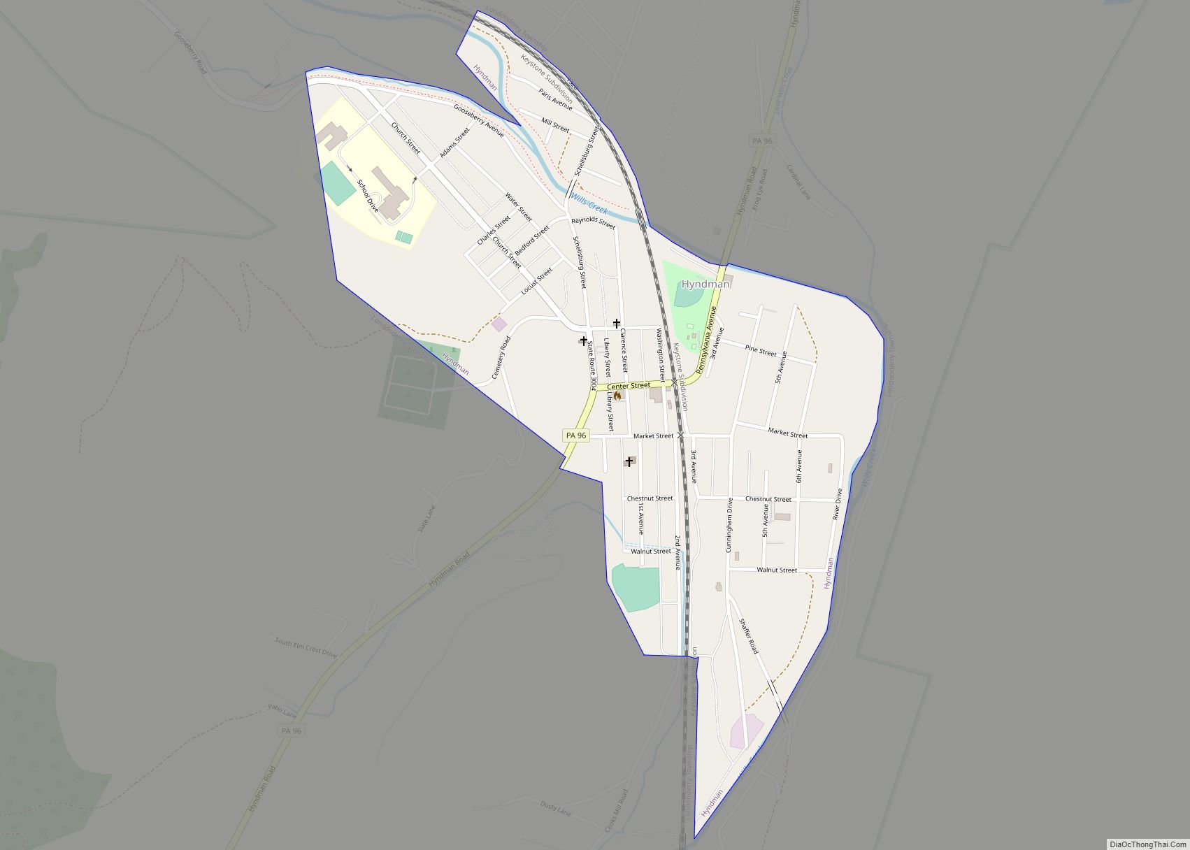
Hyndman is a borough in Bedford County, Pennsylvania, United States. As of the 2020 census, the population was 859.
| Name: | Hyndman borough |
|---|---|
| LSAD Code: | 21 |
| LSAD Description: | borough (suffix) |
| State: | Pennsylvania |
| County: | Bedford County |
| Incorporated: | 1877 |
| Elevation: | 1,404 ft (428 m) |
| Total Area: | 0.53 sq mi (1.37 km²) |
| Land Area: | 0.51 sq mi (1.32 km²) |
| Water Area: | 0.02 sq mi (0.04 km²) |
| Total Population: | 863 |
| Population Density: | 1,685.55/sq mi (651.40/km²) |
| Area code: | 814 |
| FIPS code: | 4236640 |
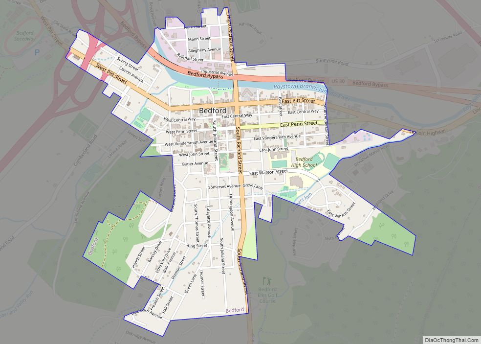
Online Interactive Map
Click on ![]() to view map in "full screen" mode.
to view map in "full screen" mode.
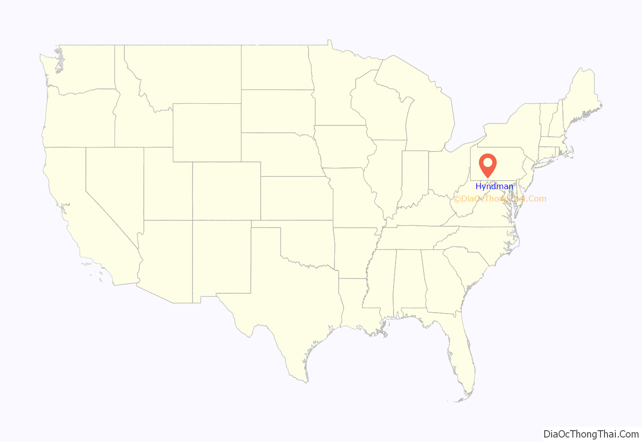
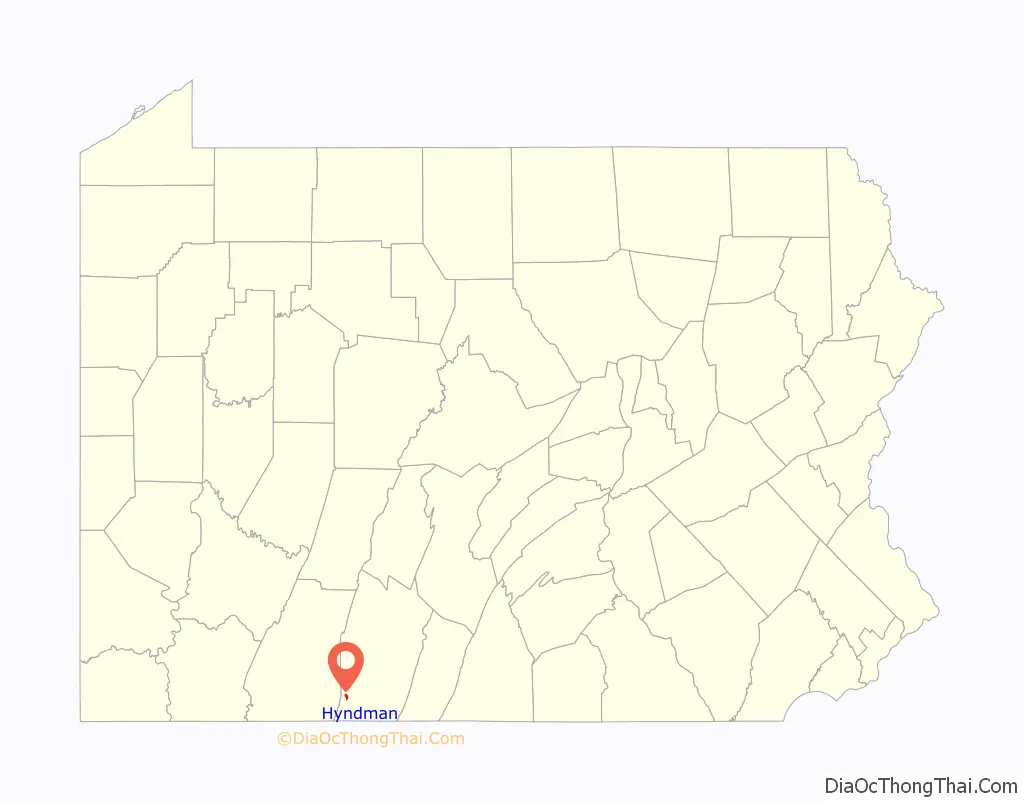
Hyndman location map. Where is Hyndman borough?
History
The first known settler in the area was Samuel Waters, who lived near Wills Creek and built a bridge across it before 1800. Circa 1800, Jacob Burkett and Amos Raley started a boatbuilding business at the settlement called Bridgeport. Boats were needed to float grain down to Cumberland, Maryland. In 1850, Enoch Cade opened a store, and in 1865 a one-room school was opened. Samuel Miller began laying out a town on his land north of the creek. In 1871, the Baltimore & Ohio Railroad first came through the town, going from Cumberland to Pittsburgh, and the Bedford and Bridgeport Railroad was built from Mt. Dallas (near Everett) to Cumberland. In September 1877, the town was incorporated, and in December of that year the town was renamed Hyndman in honor of the B&O’s Connellsville Division Railroad Superintendent E. K. Hyndman. The first elected officials were Chief Burgess S. M. Wilhelm and Council members J. W. Madore, W. S. Mullin, Samuel Miller, and Henry Miller. Early industries included the manufacturing of bricks and limestone.
In 1889, the National Bank of South Pennsylvania was opened in Hyndman, but failed in 1905. It was purchased by J. J. Hoblitzell, giving it the name it has today – Hoblitzell National Bank. In 1892 the Hyndman Water Company was completed, in 1893 the electric plant opened, the telephone exchange was begun in 1906, and in 1927 a fire company was organized.
A major fire in late December 1949 burned out Hyndman’s business center – mostly of frame building construction – before it was brought under control. In August 2017, a 33-car train derailment sparked fires that resulted in evacuation of most of the town’s residents for several days.
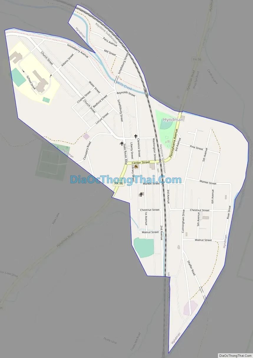
Hyndman Road Map
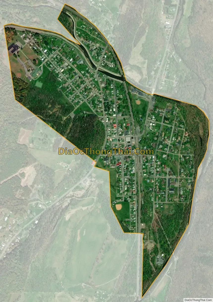
Hyndman city Satellite Map
Geography
Hyndman is located in southwestern Bedford County at 39°49′16″N 78°43′17″W / 39.82111°N 78.72139°W / 39.82111; -78.72139 (39.821033, -78.721283). It is surrounded by Londonderry Township.
The borough sits in the valley of Wills Creek, which breaks through Savage Mountain and Little Allegheny Mountain to the west and turns south at Hyndman to flow towards Maryland. Little Wills Creek joins Wills Creek in the eastern part of the borough. Wills Mountain rises to the east.
Pennsylvania Route 96 passes through the borough as Center Street and Pennsylvania Avenue. It leads north 19 miles (31 km) to Schellsburg and south 7 miles (11 km) to the Maryland line, where it becomes Maryland Route 35 and continues 7 miles (11 km) farther to Cumberland.
According to the United States Census Bureau, Hyndman has a total area of 0.53 square miles (1.37 km), of which 0.02 square miles (0.04 km), or 3.11%, is water.
See also
Map of Pennsylvania State and its subdivision:- Adams
- Allegheny
- Armstrong
- Beaver
- Bedford
- Berks
- Blair
- Bradford
- Bucks
- Butler
- Cambria
- Cameron
- Carbon
- Centre
- Chester
- Clarion
- Clearfield
- Clinton
- Columbia
- Crawford
- Cumberland
- Dauphin
- Delaware
- Elk
- Erie
- Fayette
- Forest
- Franklin
- Fulton
- Greene
- Huntingdon
- Indiana
- Jefferson
- Juniata
- Lackawanna
- Lancaster
- Lawrence
- Lebanon
- Lehigh
- Luzerne
- Lycoming
- Mc Kean
- Mercer
- Mifflin
- Monroe
- Montgomery
- Montour
- Northampton
- Northumberland
- Perry
- Philadelphia
- Pike
- Potter
- Schuylkill
- Snyder
- Somerset
- Sullivan
- Susquehanna
- Tioga
- Union
- Venango
- Warren
- Washington
- Wayne
- Westmoreland
- Wyoming
- York
- Alabama
- Alaska
- Arizona
- Arkansas
- California
- Colorado
- Connecticut
- Delaware
- District of Columbia
- Florida
- Georgia
- Hawaii
- Idaho
- Illinois
- Indiana
- Iowa
- Kansas
- Kentucky
- Louisiana
- Maine
- Maryland
- Massachusetts
- Michigan
- Minnesota
- Mississippi
- Missouri
- Montana
- Nebraska
- Nevada
- New Hampshire
- New Jersey
- New Mexico
- New York
- North Carolina
- North Dakota
- Ohio
- Oklahoma
- Oregon
- Pennsylvania
- Rhode Island
- South Carolina
- South Dakota
- Tennessee
- Texas
- Utah
- Vermont
- Virginia
- Washington
- West Virginia
- Wisconsin
- Wyoming