Kelayres is a census-designated place in Kline Township, Schuylkill County, Pennsylvania, United States on Broad Mountain, just west of McAdoo. Reservoir Number 8 is just west of Kelayres and drains northward into the Catawissa Creek, a tributary of the Susquehanna River. It is served by the Hazleton Area School District. The local pronunciation of the village is “Key-lar-es” and its ZIP code is 18231. As of the 2010 census the population was 533 residents. Kelayres is in area code 570, served by the 929 McAdoo exchange.
| Name: | Kelayres CDP |
|---|---|
| LSAD Code: | 57 |
| LSAD Description: | CDP (suffix) |
| State: | Pennsylvania |
| County: | Schuylkill County |
| Elevation: | 1,752 ft (534 m) |
| Total Area: | 0.12 sq mi (0.30 km²) |
| Land Area: | 0.12 sq mi (0.30 km²) |
| Water Area: | 0.00 sq mi (0.00 km²) |
| Total Population: | 497 |
| Population Density: | 4,321.74/sq mi (1,675.73/km²) |
| ZIP code: | 18231 |
| Area code: | 570 and 272 |
| FIPS code: | 4239056 |
| GNISfeature ID: | 1178312 |
Online Interactive Map
Click on ![]() to view map in "full screen" mode.
to view map in "full screen" mode.
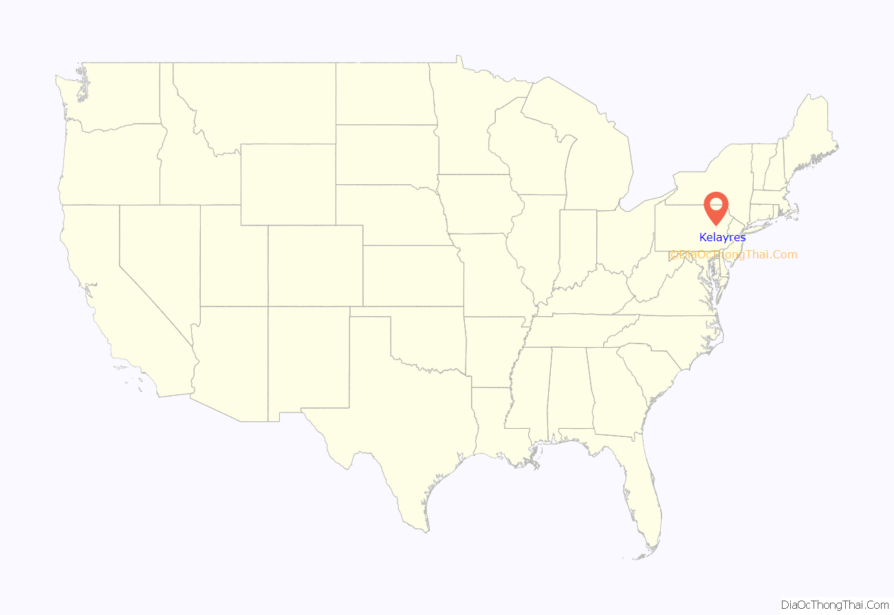
Kelayres location map. Where is Kelayres CDP?
History
Kelayres achieved national notoriety in 1934 when local politics led to the Kelayres massacre, on election eve, November 5, 1934. Five people were killed, while at least one dozen were injured. The breaking story was played up for its political angle on election day. Local Republican boss Joseph James Bruno and six members of his immediate family were arrested and tried for the murders. Six received convictions and prison sentences. Bruno again achieved national notoriety when he escaped from jail in December 1936. He was recaptured in August 1937. They were all eventually pardoned, Joseph Bruno being the last of the family pardoned, on December 24, 1947.
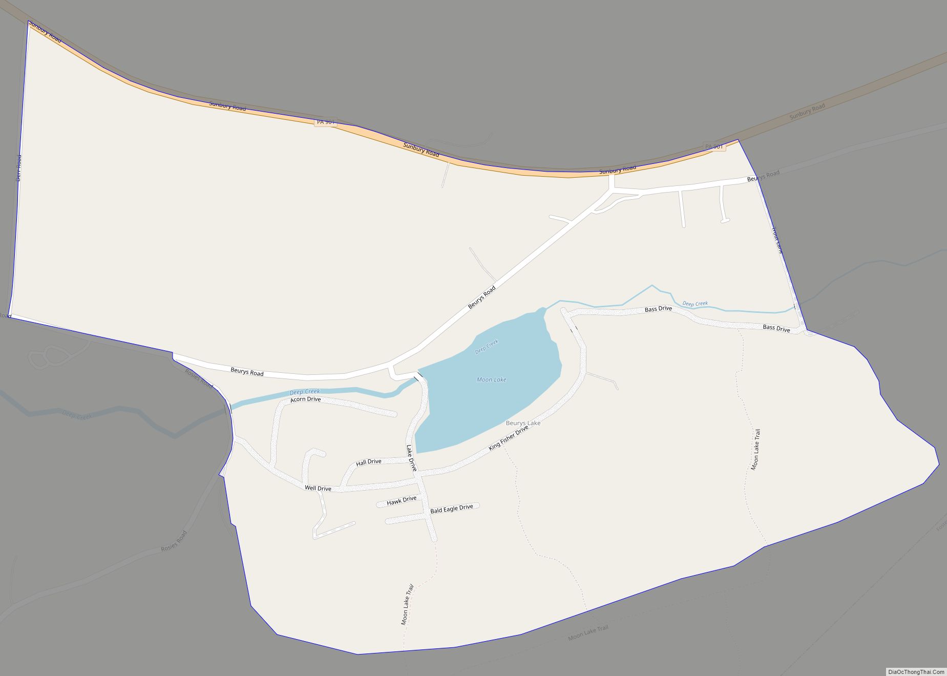
Kelayres Road Map
Kelayres city Satellite Map
See also
Map of Pennsylvania State and its subdivision:- Adams
- Allegheny
- Armstrong
- Beaver
- Bedford
- Berks
- Blair
- Bradford
- Bucks
- Butler
- Cambria
- Cameron
- Carbon
- Centre
- Chester
- Clarion
- Clearfield
- Clinton
- Columbia
- Crawford
- Cumberland
- Dauphin
- Delaware
- Elk
- Erie
- Fayette
- Forest
- Franklin
- Fulton
- Greene
- Huntingdon
- Indiana
- Jefferson
- Juniata
- Lackawanna
- Lancaster
- Lawrence
- Lebanon
- Lehigh
- Luzerne
- Lycoming
- Mc Kean
- Mercer
- Mifflin
- Monroe
- Montgomery
- Montour
- Northampton
- Northumberland
- Perry
- Philadelphia
- Pike
- Potter
- Schuylkill
- Snyder
- Somerset
- Sullivan
- Susquehanna
- Tioga
- Union
- Venango
- Warren
- Washington
- Wayne
- Westmoreland
- Wyoming
- York
- Alabama
- Alaska
- Arizona
- Arkansas
- California
- Colorado
- Connecticut
- Delaware
- District of Columbia
- Florida
- Georgia
- Hawaii
- Idaho
- Illinois
- Indiana
- Iowa
- Kansas
- Kentucky
- Louisiana
- Maine
- Maryland
- Massachusetts
- Michigan
- Minnesota
- Mississippi
- Missouri
- Montana
- Nebraska
- Nevada
- New Hampshire
- New Jersey
- New Mexico
- New York
- North Carolina
- North Dakota
- Ohio
- Oklahoma
- Oregon
- Pennsylvania
- Rhode Island
- South Carolina
- South Dakota
- Tennessee
- Texas
- Utah
- Vermont
- Virginia
- Washington
- West Virginia
- Wisconsin
- Wyoming
