Kennett Square is a borough in Chester County, Pennsylvania, United States. As of the 2020 U.S. census, Kennett Square had a population of 5,943.
Kennett Square is located in the Delaware Valley and considered a suburb of both Philadelphia, the nation’s sixth largest city as of 2020, and Wilmington, Delaware. The local high school is Kennett High School. The corporate headquarters of Genesis HealthCare, which administers elderly care facilities, is based in Kennett Square.
The borough is sometimes referred to as the “Mushroom Capital of the World” because mushroom farming in the region produces over 500 million pounds of mushrooms a year, representing half of the nation’s mushroom crop production. To celebrate this heritage, Kennett Square holds an annual Mushroom Festival, where the town and its businesses hold a parade, mushroom farm tours, and sells food and other goods.
| Name: | Kennett Square borough |
|---|---|
| LSAD Code: | 21 |
| LSAD Description: | borough (suffix) |
| State: | Pennsylvania |
| County: | Chester County |
| Elevation: | 328 ft (100 m) |
| Total Area: | 1.07 sq mi (2.78 km²) |
| Land Area: | 1.06 sq mi (2.76 km²) |
| Water Area: | 0.01 sq mi (0.02 km²) |
| Total Population: | 5,936 |
| Population Density: | 5,573.71/sq mi (2,151.38/km²) |
| ZIP code: | 19348 |
| FIPS code: | 4239352 |
Online Interactive Map
Click on ![]() to view map in "full screen" mode.
to view map in "full screen" mode.
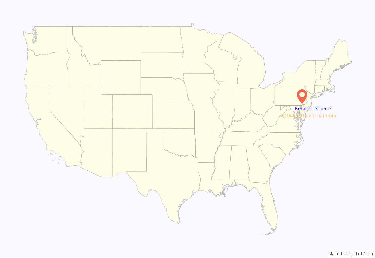
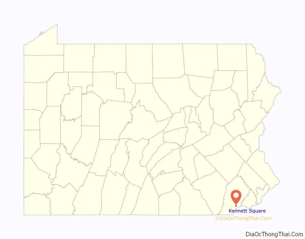
Kennett Square location map. Where is Kennett Square borough?
History
The area to become known as Kennett Square was originally inhabited by the Lenape Native American tribe. Once colonized, the town was named Kennet Square, a reference to Kennett, Cambridgeshire in England with “Square” coming from the original land grant from William Penn, which included one square mile. In 1777, during the American Revolutionary War, Sir William Howe|Sir William Howe, a British Army general led troops through Kennett Square on their way to the Battle of Brandywine.
In the 19th century, the borough played an instrumental role in the Underground Railroad, which helped slaves escape the South for freedom. In 1853, a group asked for Kennett Square to be incorporated, and by 1855 it held elections.
Kennett Square’s founder is credited with introducing mushroom growing to the area. He grew carnations, a popular local commodity beginning in 1885 and wanted to make use of the wasted space under the elevated beds. He imported spawn from Europe and started experimenting with mushroom cultivation.
In culture
Kennett Square is the subject and setting of The Story of Kennett, an 1866 novel by Bayard Taylor, who was born in Kennett Square.
Kennett Square Road Map
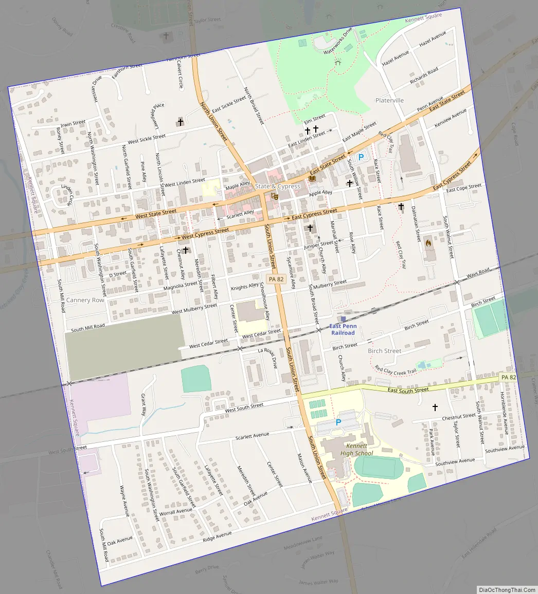
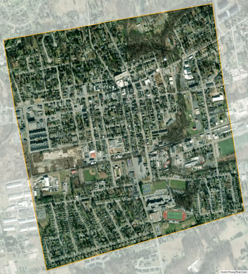
Kennett Square city Satellite Map
Geography
Kennett Square is located at 39°50′39″N 75°42′38″W / 39.84417°N 75.71056°W / 39.84417; -75.71056 (39.844104, −75.710654). According to the U.S. Census Bureau, the borough has a total area of 1.1 square miles (2.8 km), all land.
See also
Map of Pennsylvania State and its subdivision:- Adams
- Allegheny
- Armstrong
- Beaver
- Bedford
- Berks
- Blair
- Bradford
- Bucks
- Butler
- Cambria
- Cameron
- Carbon
- Centre
- Chester
- Clarion
- Clearfield
- Clinton
- Columbia
- Crawford
- Cumberland
- Dauphin
- Delaware
- Elk
- Erie
- Fayette
- Forest
- Franklin
- Fulton
- Greene
- Huntingdon
- Indiana
- Jefferson
- Juniata
- Lackawanna
- Lancaster
- Lawrence
- Lebanon
- Lehigh
- Luzerne
- Lycoming
- Mc Kean
- Mercer
- Mifflin
- Monroe
- Montgomery
- Montour
- Northampton
- Northumberland
- Perry
- Philadelphia
- Pike
- Potter
- Schuylkill
- Snyder
- Somerset
- Sullivan
- Susquehanna
- Tioga
- Union
- Venango
- Warren
- Washington
- Wayne
- Westmoreland
- Wyoming
- York
- Alabama
- Alaska
- Arizona
- Arkansas
- California
- Colorado
- Connecticut
- Delaware
- District of Columbia
- Florida
- Georgia
- Hawaii
- Idaho
- Illinois
- Indiana
- Iowa
- Kansas
- Kentucky
- Louisiana
- Maine
- Maryland
- Massachusetts
- Michigan
- Minnesota
- Mississippi
- Missouri
- Montana
- Nebraska
- Nevada
- New Hampshire
- New Jersey
- New Mexico
- New York
- North Carolina
- North Dakota
- Ohio
- Oklahoma
- Oregon
- Pennsylvania
- Rhode Island
- South Carolina
- South Dakota
- Tennessee
- Texas
- Utah
- Vermont
- Virginia
- Washington
- West Virginia
- Wisconsin
- Wyoming