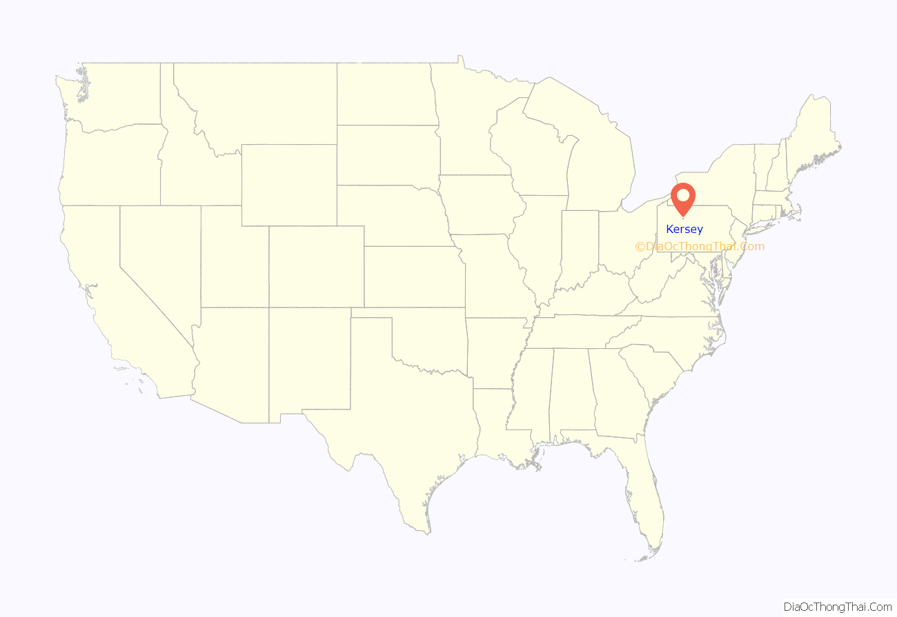
Kersey is an unincorporated community and census-designated place in Fox Township, Elk County, Pennsylvania, United States. As of the 2010 census the population was 937.
| Name: | Kersey CDP |
|---|---|
| LSAD Code: | 57 |
| LSAD Description: | CDP (suffix) |
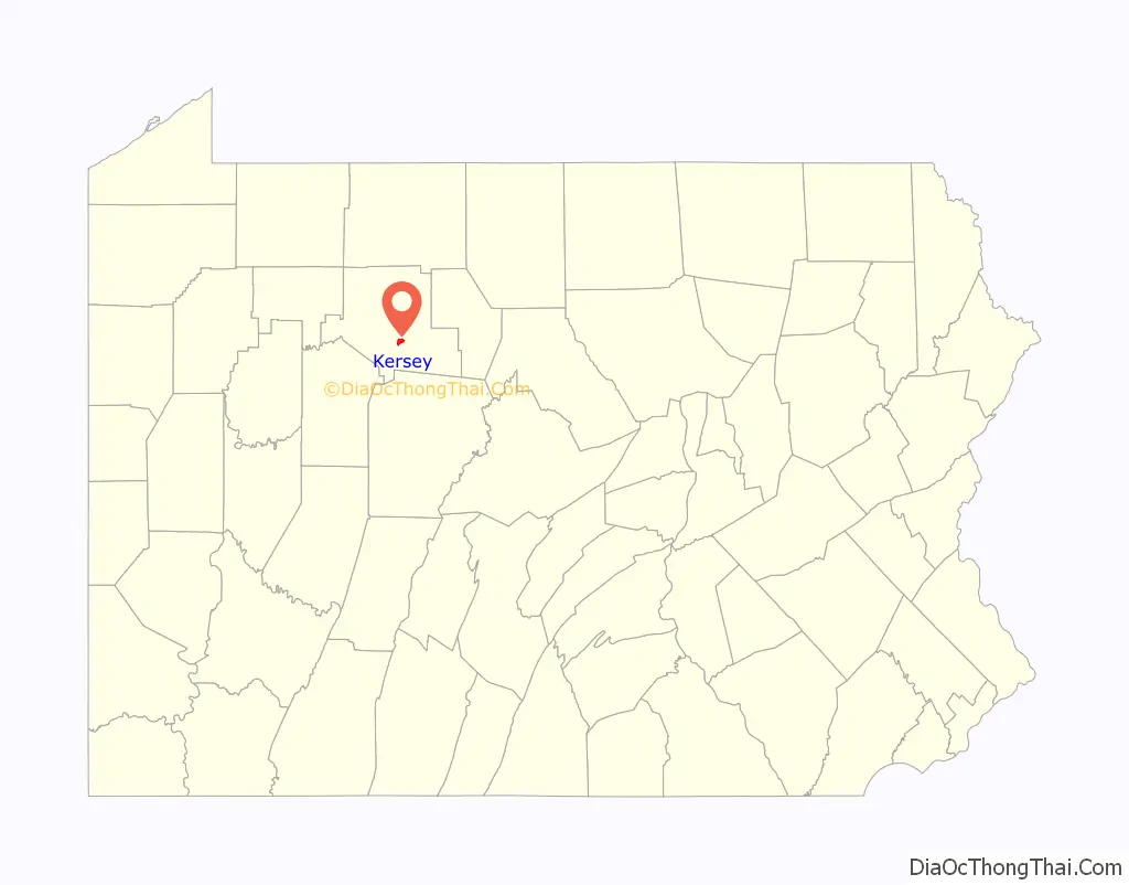
| State: | Pennsylvania |
| County: | Elk County |
| Elevation: | 1,980 ft (600 m) |
| Total Area: | 1.55 sq mi (4.03 km²) |
| Land Area: | 1.55 sq mi (4.02 km²) |
| Water Area: | 0.00 sq mi (0.01 km²) |
| Total Population: | 797 |
| Population Density: | 513.20/sq mi (198.12/km²) |
| ZIP code: | 15846 |
| Area code: | 814 |
| FIPS code: | 4239512 |
| GNISfeature ID: | 1178412 |
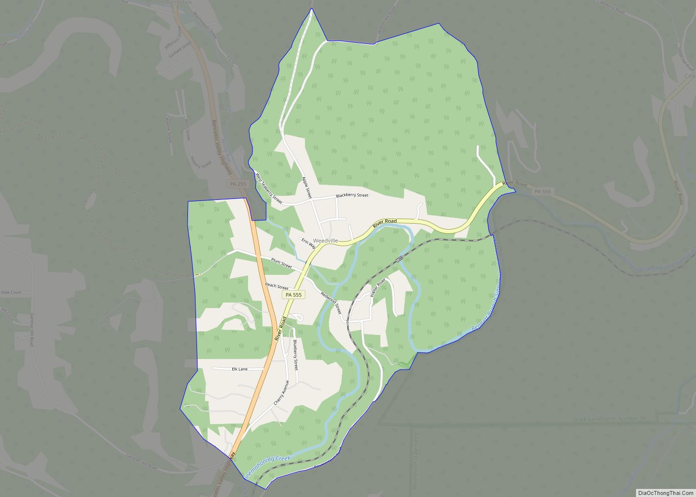
Online Interactive Map
Click on ![]() to view map in "full screen" mode.
to view map in "full screen" mode.
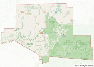
Kersey location map. Where is Kersey CDP?
History
The first permanent settlers of the county arrived in 1810 and founded Centreville at the headwaters of Little Toby Creek. Later that year, William Kersey built a gristmill and/or sawmill there, and the settlement was renamed “Kersey”, though early sources sometimes refer to it as “Kersey’s”. At the time, the area was part of Clearfield County, as Elk County had not yet been formed. Early industries in the community were lumber and coal.
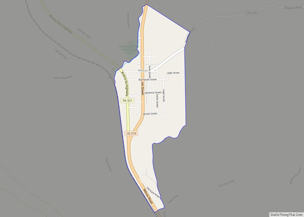
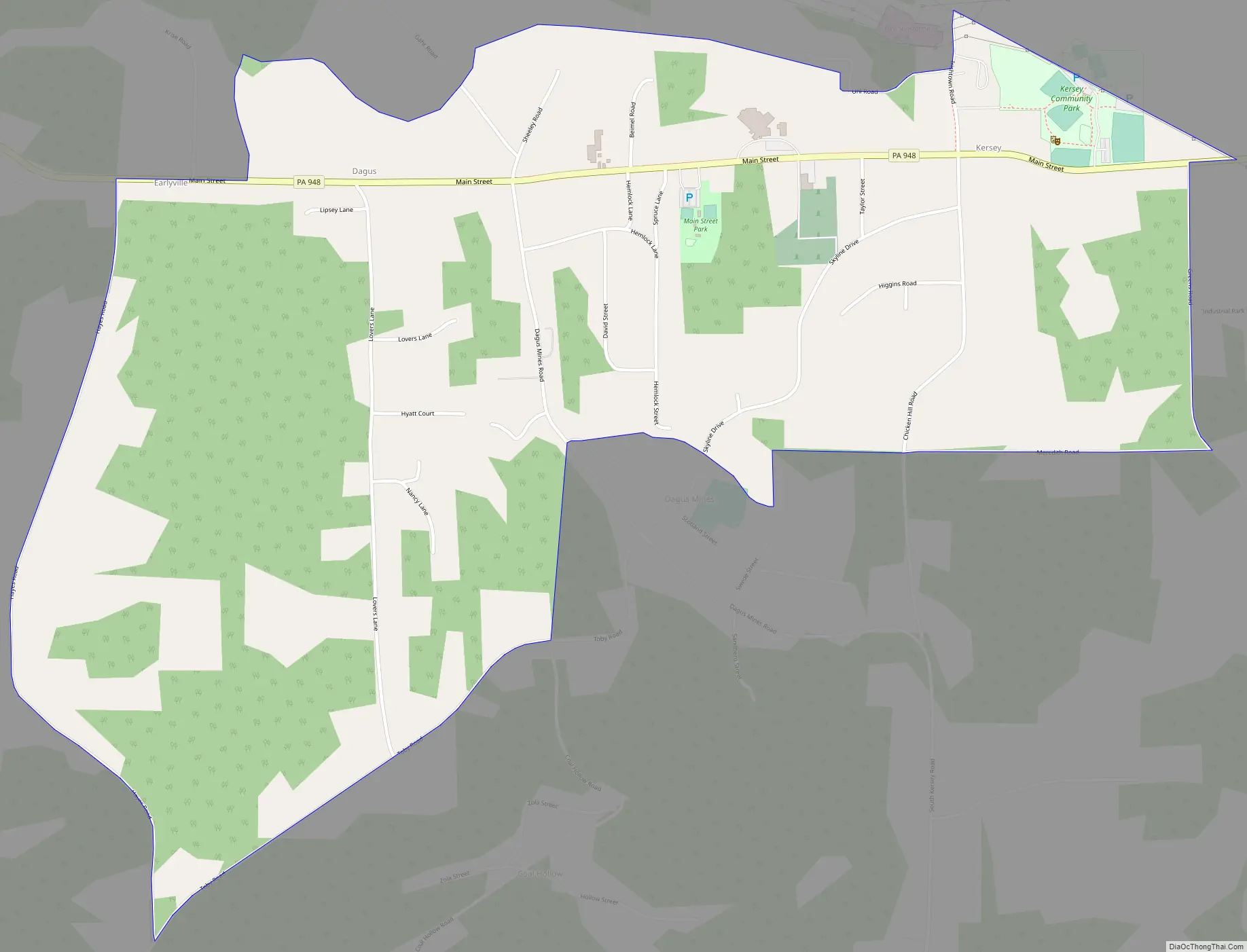
Kersey Road Map
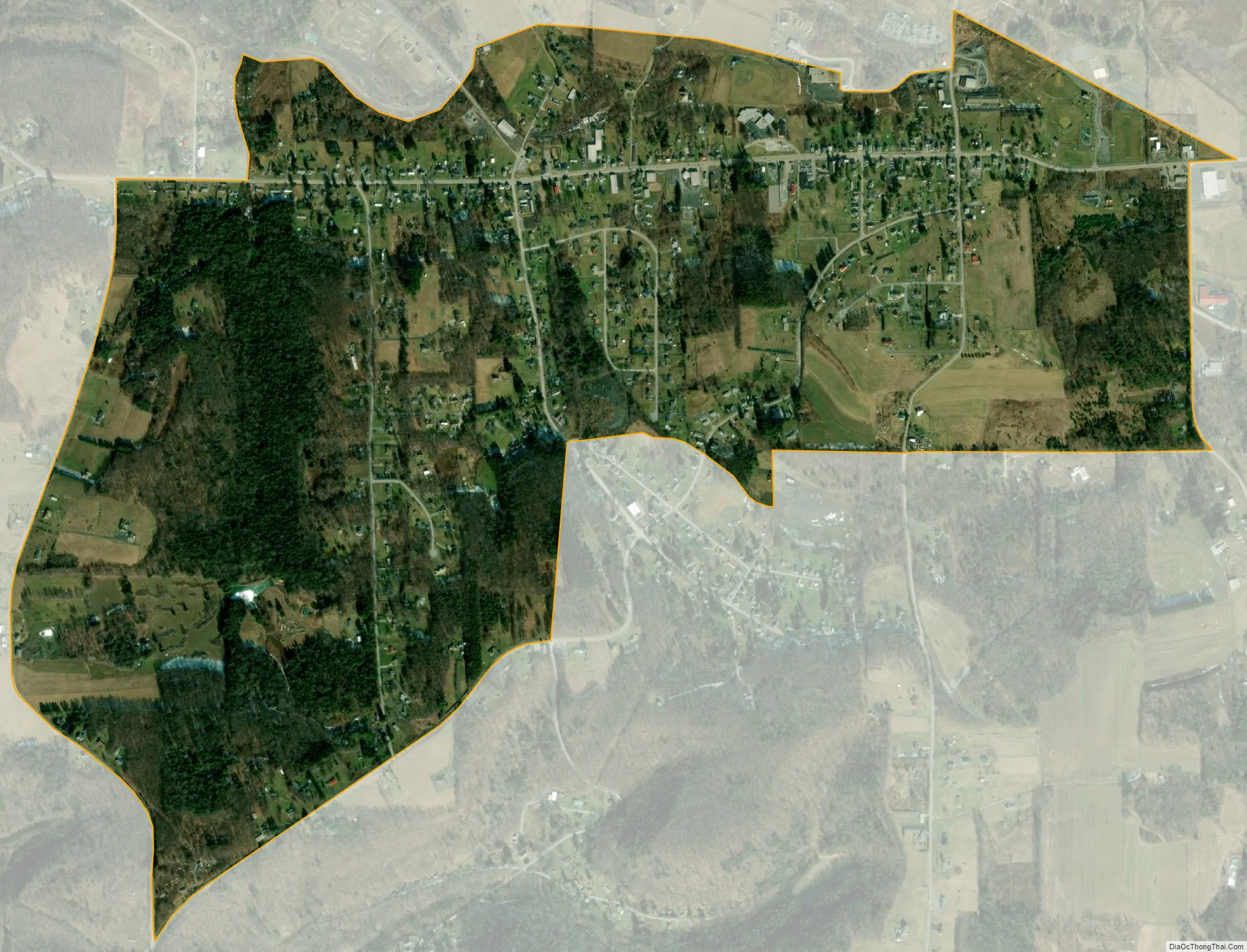
Kersey city Satellite Map
Geography
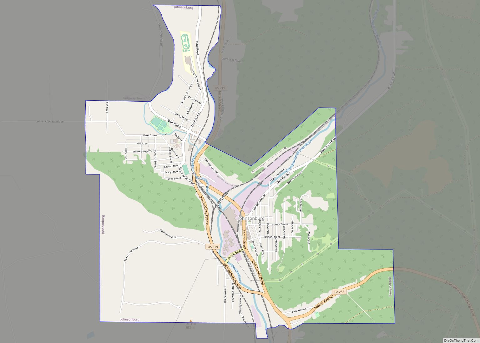
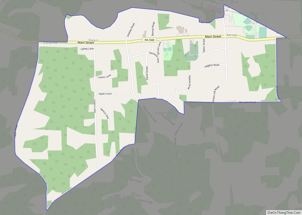
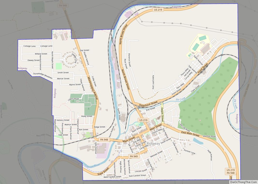
Kersey is located in northern Fox Township, in south-central Elk County. Pennsylvania Route 948 passes through the community, leading east 2 miles (3 km) to PA 255 and west 5 miles (8 km) to U.S. Route 219, which leads 4 miles (6 km) north to Ridgway, the county seat.
According to the U.S. Census Bureau, the Kersey CDP has a total area of 1.56 square miles (4.04 km), of which 1.49 acres (6,015 m), or 0.15%, is water. The CDP includes the community of Dagus, to the west of Kersey proper. The community of Dagus Mines borders the CDP to the south. Kersey sits at an elevation of 1,980 feet (600 m) above sea level, 1 mile (1.6 km) northwest of the Eastern Continental Divide.
See also
Map of Pennsylvania State and its subdivision:- Adams
- Allegheny
- Armstrong
- Beaver
- Bedford
- Berks
- Blair
- Bradford
- Bucks
- Butler
- Cambria
- Cameron
- Carbon
- Centre
- Chester
- Clarion
- Clearfield
- Clinton
- Columbia
- Crawford
- Cumberland
- Dauphin
- Delaware
- Elk
- Erie
- Fayette
- Forest
- Franklin
- Fulton
- Greene
- Huntingdon
- Indiana
- Jefferson
- Juniata
- Lackawanna
- Lancaster
- Lawrence
- Lebanon
- Lehigh
- Luzerne
- Lycoming
- Mc Kean
- Mercer
- Mifflin
- Monroe
- Montgomery
- Montour
- Northampton
- Northumberland
- Perry
- Philadelphia
- Pike
- Potter
- Schuylkill
- Snyder
- Somerset
- Sullivan
- Susquehanna
- Tioga
- Union
- Venango
- Warren
- Washington
- Wayne
- Westmoreland
- Wyoming
- York
- Alabama
- Alaska
- Arizona
- Arkansas
- California
- Colorado
- Connecticut
- Delaware
- District of Columbia
- Florida
- Georgia
- Hawaii
- Idaho
- Illinois
- Indiana
- Iowa
- Kansas
- Kentucky
- Louisiana
- Maine
- Maryland
- Massachusetts
- Michigan
- Minnesota
- Mississippi
- Missouri
- Montana
- Nebraska
- Nevada
- New Hampshire
- New Jersey
- New Mexico
- New York
- North Carolina
- North Dakota
- Ohio
- Oklahoma
- Oregon
- Pennsylvania
- Rhode Island
- South Carolina
- South Dakota
- Tennessee
- Texas
- Utah
- Vermont
- Virginia
- Washington
- West Virginia
- Wisconsin
- Wyoming