King of Prussia (also referred to as KOP) is a census-designated place in Upper Merion Township in Montgomery County, Pennsylvania, United States. As of the 2020 census, its population was 22,028. The community took its unusual name in the 18th century from a local tavern named the King of Prussia Inn, which was named after King Frederick the Great of Prussia. Like the rest of Montgomery County, King of Prussia continues to experience rapid development. One of the largest shopping malls in the United States, King of Prussia, is located here. Also located here is the headquarters of the Nuclear Regulatory Commission Region I. King of Prussia is considered to be an edge city of Philadelphia, consisting of large amounts of retail and office space situated at the convergence of four highways.
King of Prussia is located 35 miles (56 km) southeast of Allentown and 15 miles (24 km) northwest of Philadelphia. It is considered part of the larger Delaware Valley or Philadelphia metropolitan area.
| Name: | King of Prussia CDP |
|---|---|
| LSAD Code: | 57 |
| LSAD Description: | CDP (suffix) |
| State: | Pennsylvania |
| County: | Montgomery County |
| Founded: | 1719 |
| Elevation: | 200 ft (60 m) |
| Total Area: | 8.66 sq mi (22.44 km²) |
| Land Area: | 8.49 sq mi (22.00 km²) |
| Water Area: | 0.17 sq mi (0.44 km²) |
| Total Population: | 24,695 |
| Population Density: | 2,907.00/sq mi (1,122.43/km²) |
| ZIP code: | 19406 |
| Area code: | 610 and 484 |
| FIPS code: | 4239736 |
| GNISfeature ID: | 1178473 |
Online Interactive Map
Click on ![]() to view map in "full screen" mode.
to view map in "full screen" mode.
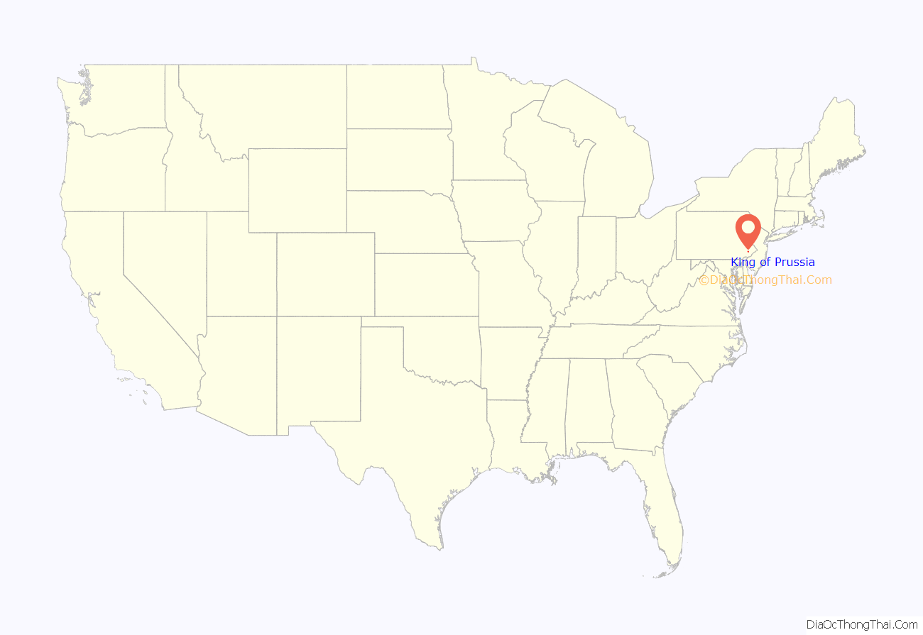
King of Prussia location map. Where is King of Prussia CDP?
History
The eponymous King of Prussia Inn was originally constructed as a cottage in 1719 by the Welsh Quakers William and Janet Rees, founders of Reesville. The cottage was converted to an inn in 1769 and did a steady business in colonial times as it was approximately a day’s travel by horse from Philadelphia. Settlers headed west to Ohio would sleep at the inn on their first night on the road. In 1774 the Rees family hired James Berry to manage the inn, which henceforth became known as “Berry’s Tavern”. General George Washington first visited the tavern on Thanksgiving Day in 1777 while the Continental Army was encamped at Whitemarsh; a few weeks later Washington and the army bivouacked at nearby Valley Forge.
Parker’s spy map, created by William Parker, an American Loyalist, listed the inn as “Berry’s” in 1777, but a local petition in 1786 identified it as the “King of Prussia”. It was possibly renamed in honor of Benjamin Franklin’s pro-American satirical essay “An Edict by the King of Prussia”. At some point a wooden signboard of the inn depicted King Frederick II (Frederick the Great) of Prussia. The inn is listed on the National Register of Historic Places.
The inn was forced to move with the expansion of U.S. Route 202. U.S. 202 is a major north–south highway that passes through the town from southwest to northeast. Its construction as a modern expressway would have caused the destruction of the King of Prussia Inn; however, historic preservationists managed to prevail upon the state of Pennsylvania to avoid this important structure by building north and southbound lanes on either side of it. For more than a quarter century the inn was marooned on a median island, with motor traffic whizzing past on both sides. It was sealed up for years, surrounded by a high fence. The inn was successfully relocated in 2000 and re-opened to the public in October 2002.
The extensive suburban development that has taken place since the 1960s in King of Prussia has led urban planning scholars like Joel Garreau to label the area as an epitome of the edge city phenomenon, a situation where the most vibrant economic growth and prosperity in a metropolitan area (in this case, Philadelphia) no longer occurs in the urban center, but rather at its periphery. Before 1960, the Greater King of Prussia area was known for little more than being the place of Washington’s winter respite in 1777-8 (see Valley Forge National Historical Park). The growth in King of Prussia developed around the convergence of four highways with the construction of the King of Prussia mall, a large business park, and housing developments.
Daniel Berrigan and his brother Philip Berrigan began their Plowshares Movement at the General Electric Weapons Plant in King of Prussia in 1980. That event and the subsequent court proceedings surrounding the ‘Plowshares Eight’ were dramatically depicted by Emile de Antonio in the 1983 motion picture In the King of Prussia.
In the late 1980s, developer Dennis Maloomian acquired a golf course near the King of Prussia mall and planned a mixed-use residential and retail development that would include a town center for King of Prussia. The proposed development needed to be rezoned but Upper Merion Township officials and local residents were opposed to the plans. After several court battles, the Pennsylvania Supreme Court ruled in Maloomian’s favor in 2003. The planned development became known as the Village at Valley Forge and would include a suburban downtown, apartments, townhouses, and offices. The retail area would be known as the King of Prussia Town Center. The first part of the town center was completed in 2014 with the opening of a Wegmans grocery store. This was followed by the construction of the downtown area with several stores and restaurants. Offices are being constructed and residential areas are in development.
By the 2000s, the business park in King of Prussia was outdated and was losing tenants. By 2009, several office building owners pushed for Upper Merion Township to improve the business park. Improvements were made to King of Prussia including landscaping the median of US 202, installing King of Prussia signs at the borders to the community, creating a shuttle service connecting the business park to nearby train stations, and changing the zoning laws to allow for apartments and townhouses to be constructed in the business park. The vacancy rates at the business park have since dropped.
In 2016, the two sections of the King of Prussia mall, The Plaza and The Court, were joined to create one large shopping mall after an expansion corridor was built.
King of Prussia Road Map
King of Prussia city Satellite Map
Geography
There is no incorporated city of King of Prussia, although the United States Postal Service office there has carried that name since 1837. Its ZIP code is 19406. King of Prussia’s boundaries, as defined by the Census Bureau, are the Schuylkill River to the north, U.S. Route 422 to the west, Bridgeport to the east, and I-76 to the south. However, the Greater King of Prussia Area is often cited to include Bridgeport, parts of Wayne and Radnor Township, King Manor, as well as most of Gulph Mills. The local fire department carries the King of Prussia name, whereas the police department and the school district carry the Upper Merion name. King of Prussia is located 20 miles (32 km) northwest of Philadelphia.
According to the United States Census Bureau, the CDP has a total area of 8.5 square miles (22 km), of which 8.4 square miles (22 km) is land and 0.1 square miles (0.26 km), or 0.83%, is water.
The area is served by area codes 610 and 484.
See also
Map of Pennsylvania State and its subdivision:- Adams
- Allegheny
- Armstrong
- Beaver
- Bedford
- Berks
- Blair
- Bradford
- Bucks
- Butler
- Cambria
- Cameron
- Carbon
- Centre
- Chester
- Clarion
- Clearfield
- Clinton
- Columbia
- Crawford
- Cumberland
- Dauphin
- Delaware
- Elk
- Erie
- Fayette
- Forest
- Franklin
- Fulton
- Greene
- Huntingdon
- Indiana
- Jefferson
- Juniata
- Lackawanna
- Lancaster
- Lawrence
- Lebanon
- Lehigh
- Luzerne
- Lycoming
- Mc Kean
- Mercer
- Mifflin
- Monroe
- Montgomery
- Montour
- Northampton
- Northumberland
- Perry
- Philadelphia
- Pike
- Potter
- Schuylkill
- Snyder
- Somerset
- Sullivan
- Susquehanna
- Tioga
- Union
- Venango
- Warren
- Washington
- Wayne
- Westmoreland
- Wyoming
- York
- Alabama
- Alaska
- Arizona
- Arkansas
- California
- Colorado
- Connecticut
- Delaware
- District of Columbia
- Florida
- Georgia
- Hawaii
- Idaho
- Illinois
- Indiana
- Iowa
- Kansas
- Kentucky
- Louisiana
- Maine
- Maryland
- Massachusetts
- Michigan
- Minnesota
- Mississippi
- Missouri
- Montana
- Nebraska
- Nevada
- New Hampshire
- New Jersey
- New Mexico
- New York
- North Carolina
- North Dakota
- Ohio
- Oklahoma
- Oregon
- Pennsylvania
- Rhode Island
- South Carolina
- South Dakota
- Tennessee
- Texas
- Utah
- Vermont
- Virginia
- Washington
- West Virginia
- Wisconsin
- Wyoming
