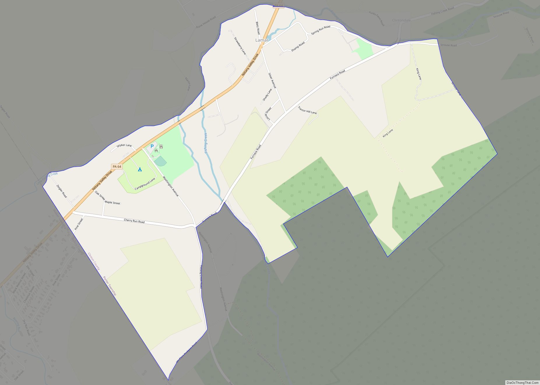
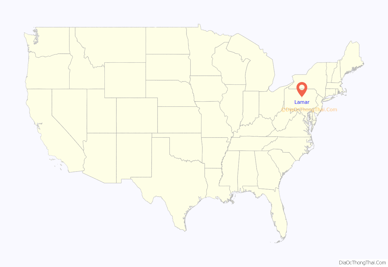
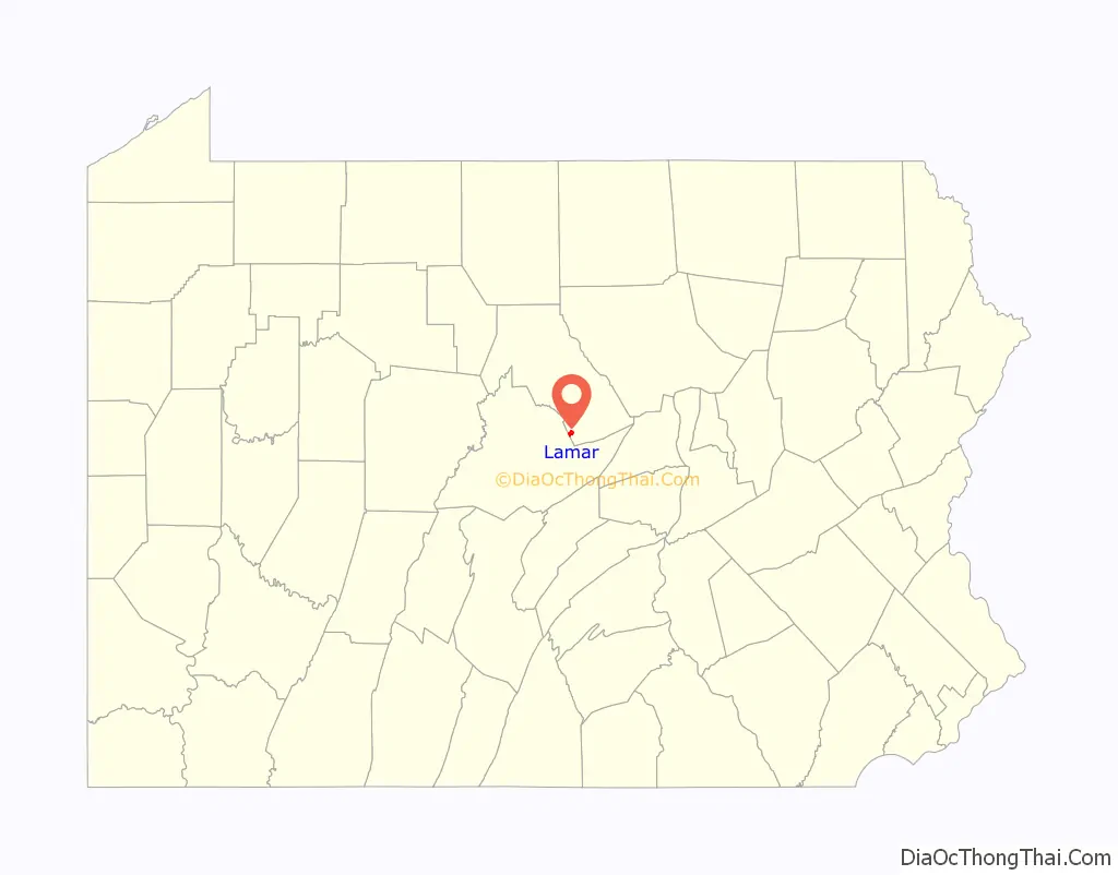
Lamar is a census-designated place in Porter Township in southern Clinton County, Pennsylvania, United States. As of the 2010 census the population was 562.
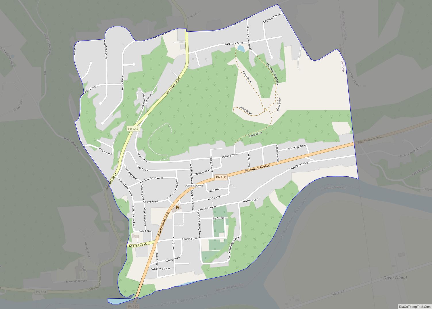
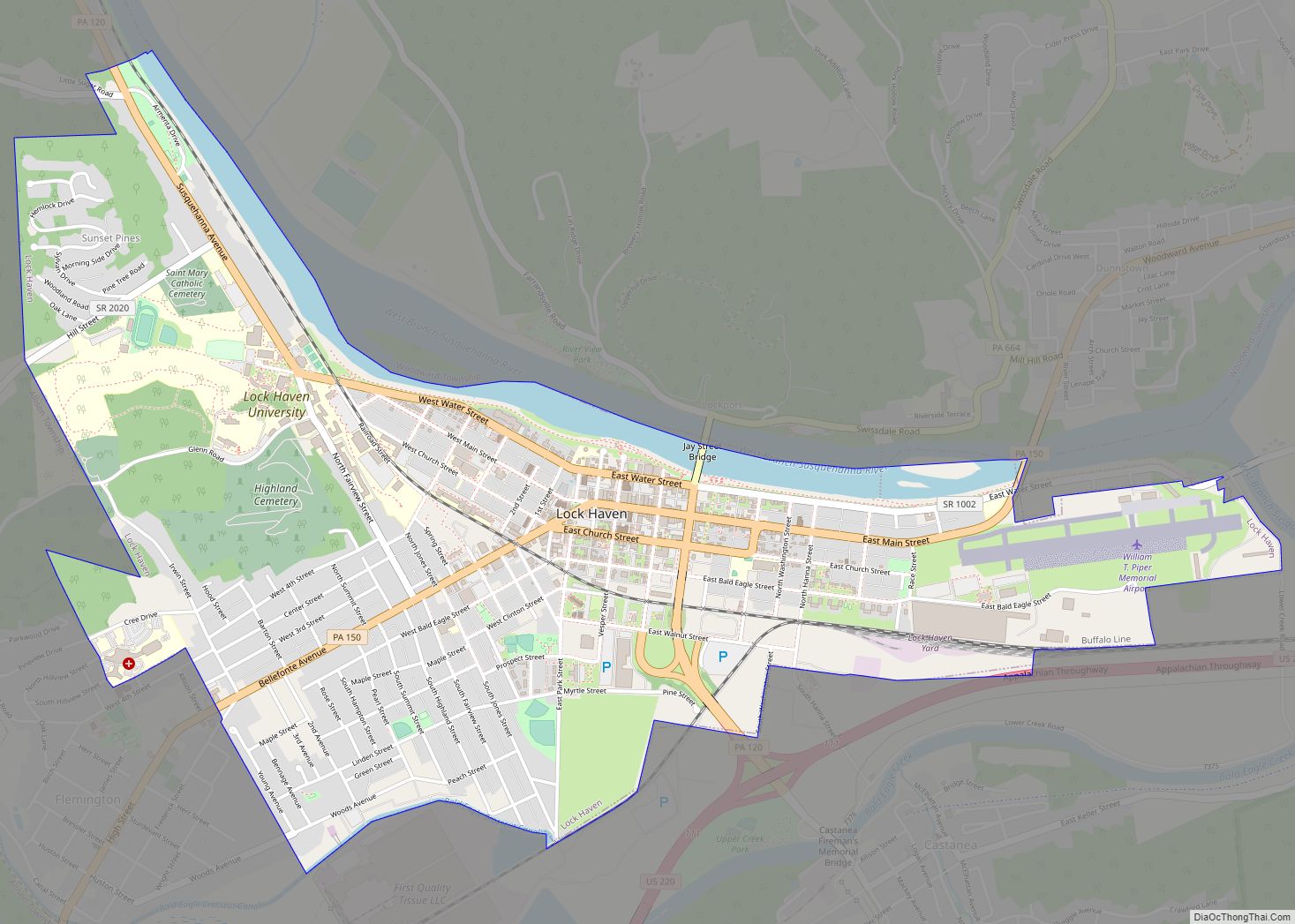
The community is located along Pennsylvania Route 64 in southern Clinton County and is bordered on the west by Nittany in Walker Township, Centre County. PA 64 leads northeast 1 mile (2 km) to Exit 173 on Interstate 80 and 11 miles (18 km) to Lock Haven, the Clinton County seat, and southwest through Nittany 23 miles (37 km) to State College.
The community is named for Revolutionary War Major Marien Lamar, who was killed in the Battle of Paoli, as stated in the “History of Centre and Clinton Counties, Pennsylvania” by John Blair Linn. Major Lamar was born in Maryland.
| Name: | Lamar CDP |
|---|---|
| LSAD Code: | 57 |
| LSAD Description: | CDP (suffix) |
| State: | Pennsylvania |
| County: | Clinton County |
| Elevation: | 795 ft (242 m) |
| Total Area: | 1.13 sq mi (2.92 km²) |
| Land Area: | 1.11 sq mi (2.89 km²) |
| Water Area: | 0.01 sq mi (0.03 km²) |
| Total Population: | 561 |
| Population Density: | 503.14/sq mi (194.32/km²) |
| ZIP code: | 16848 |
| FIPS code: | 4241104 |
| GNISfeature ID: | 2634235 |
Online Interactive Map
Click on ![]() to view map in "full screen" mode.
to view map in "full screen" mode.
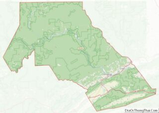
Lamar location map. Where is Lamar CDP?
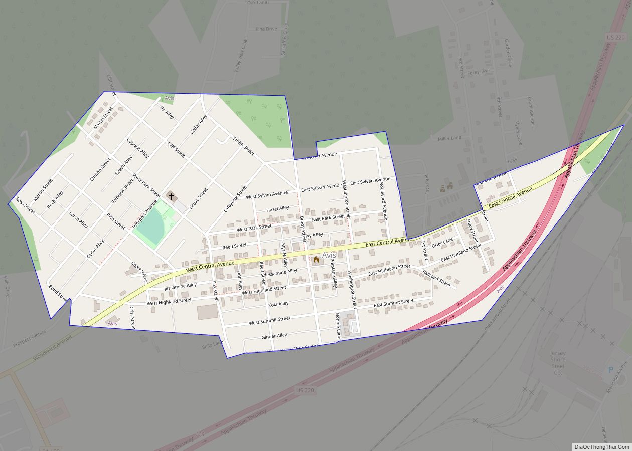
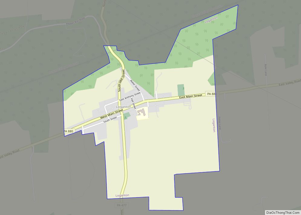
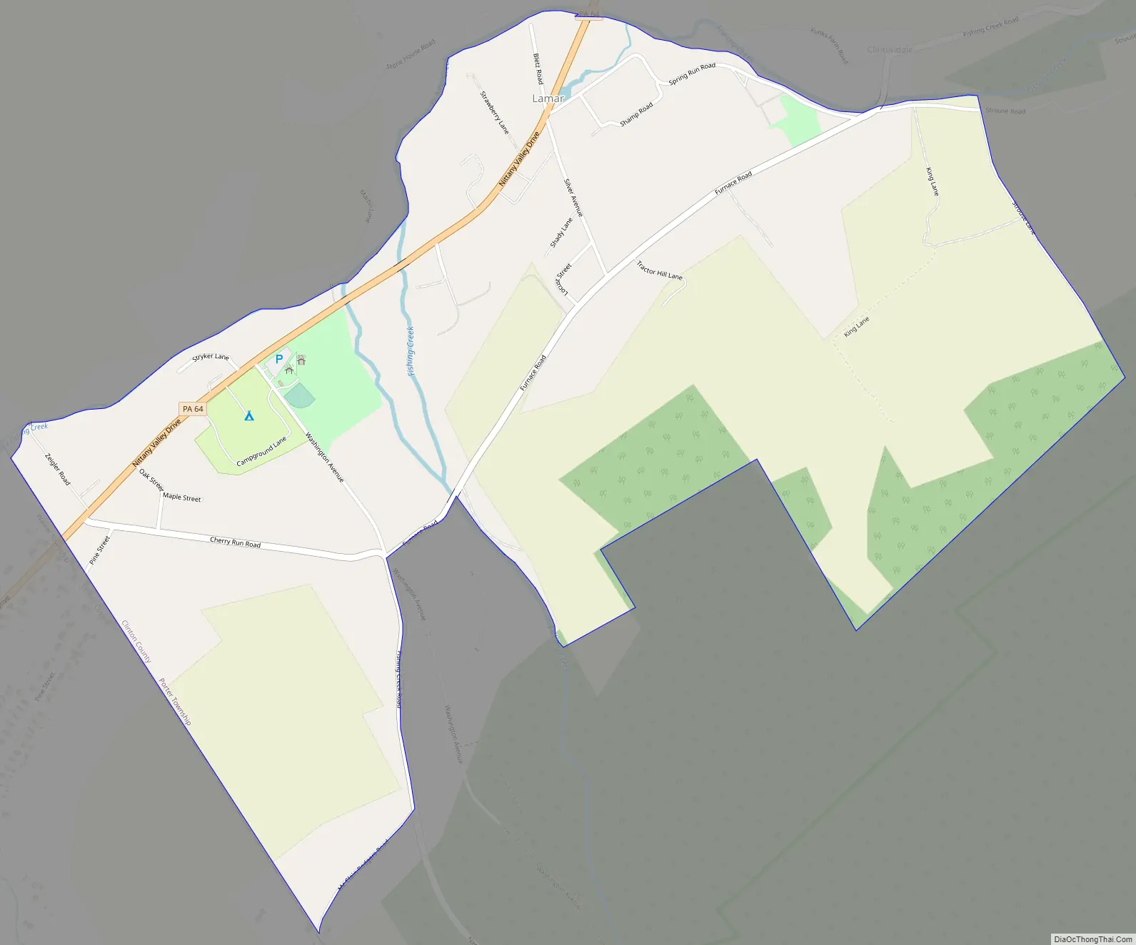
Lamar Road Map
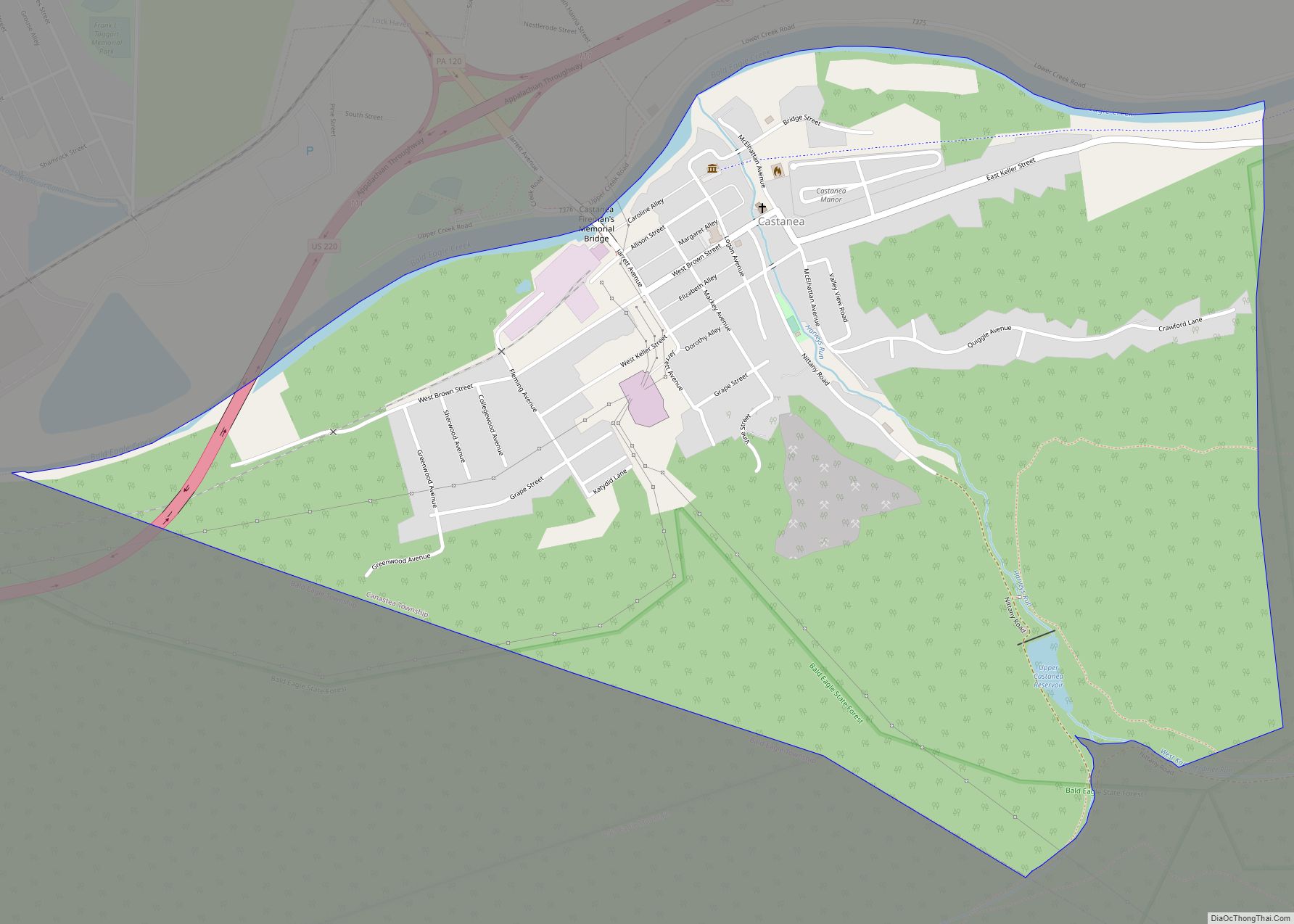
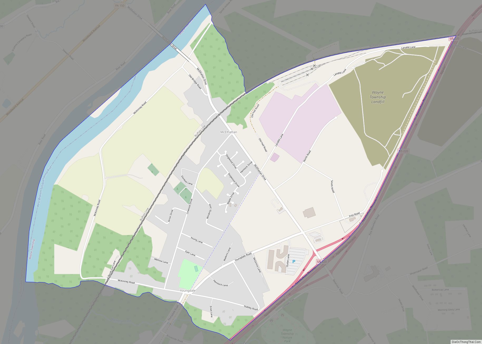
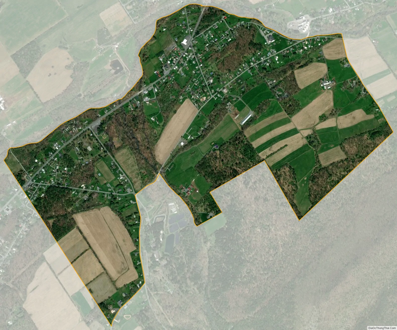
Lamar city Satellite Map
See also
Map of Pennsylvania State and its subdivision:- Adams
- Allegheny
- Armstrong
- Beaver
- Bedford
- Berks
- Blair
- Bradford
- Bucks
- Butler
- Cambria
- Cameron
- Carbon
- Centre
- Chester
- Clarion
- Clearfield
- Clinton
- Columbia
- Crawford
- Cumberland
- Dauphin
- Delaware
- Elk
- Erie
- Fayette
- Forest
- Franklin
- Fulton
- Greene
- Huntingdon
- Indiana
- Jefferson
- Juniata
- Lackawanna
- Lancaster
- Lawrence
- Lebanon
- Lehigh
- Luzerne
- Lycoming
- Mc Kean
- Mercer
- Mifflin
- Monroe
- Montgomery
- Montour
- Northampton
- Northumberland
- Perry
- Philadelphia
- Pike
- Potter
- Schuylkill
- Snyder
- Somerset
- Sullivan
- Susquehanna
- Tioga
- Union
- Venango
- Warren
- Washington
- Wayne
- Westmoreland
- Wyoming
- York
- Alabama
- Alaska
- Arizona
- Arkansas
- California
- Colorado
- Connecticut
- Delaware
- District of Columbia
- Florida
- Georgia
- Hawaii
- Idaho
- Illinois
- Indiana
- Iowa
- Kansas
- Kentucky
- Louisiana
- Maine
- Maryland
- Massachusetts
- Michigan
- Minnesota
- Mississippi
- Missouri
- Montana
- Nebraska
- Nevada
- New Hampshire
- New Jersey
- New Mexico
- New York
- North Carolina
- North Dakota
- Ohio
- Oklahoma
- Oregon
- Pennsylvania
- Rhode Island
- South Carolina
- South Dakota
- Tennessee
- Texas
- Utah
- Vermont
- Virginia
- Washington
- West Virginia
- Wisconsin
- Wyoming