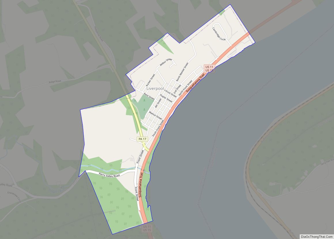
Liverpool is a borough located in the northeastern corner of Perry County, Pennsylvania, United States. It is part of the Harrisburg–Carlisle metropolitan statistical area.
The borough’s population was nine hundred and fifty-nine at the time of the 2020 census.
| Name: | Liverpool borough |
|---|---|
| LSAD Code: | 21 |
| LSAD Description: | borough (suffix) |
| State: | Pennsylvania |
| County: | Perry County |
| Incorporated: | 1832 |
| Total Area: | 0.88 sq mi (2.28 km²) |
| Land Area: | 0.88 sq mi (2.28 km²) |
| Water Area: | 0.00 sq mi (0.00 km²) |
| Total Population: | 960 |
| Population Density: | 1,089.67/sq mi (420.95/km²) |
| Area code: | 717 |
| FIPS code: | 4243968 |
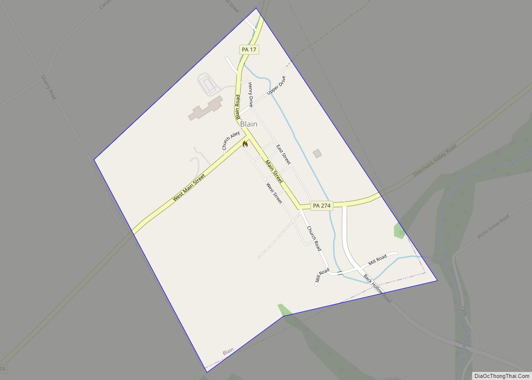
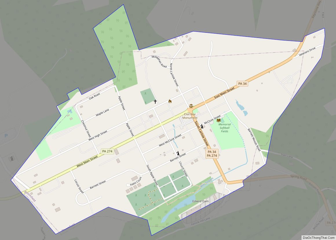
Online Interactive Map
Click on ![]() to view map in "full screen" mode.
to view map in "full screen" mode.
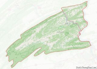
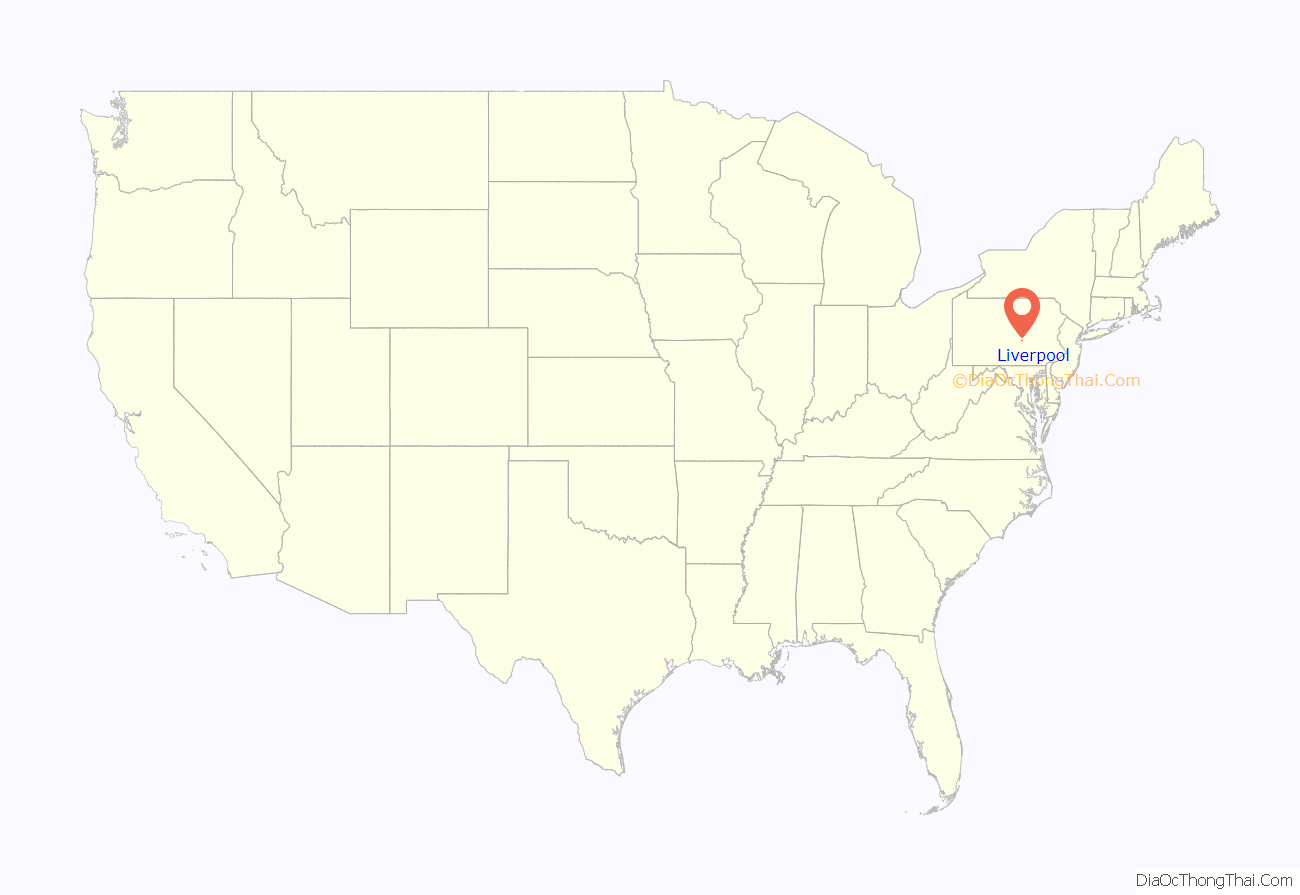
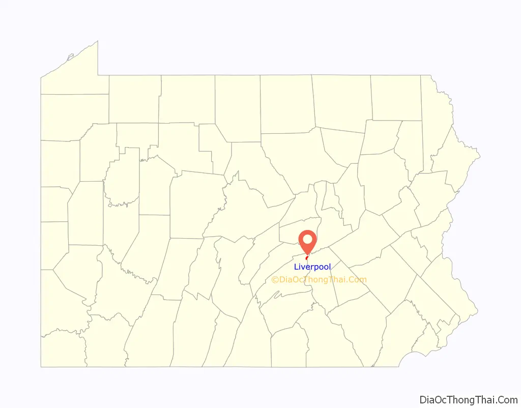
Liverpool location map. Where is Liverpool borough?
History
Liverpool was settled in 1808 by the Stailey family, who emigrated from Liverpool, England, for which it was named. Located beside the Susquehanna River in eastern Perry County, the community was surveyed by John Huggins and plotted by Peter Williamson that year, and originally was made up of the land located between present-day North Alley to Strawberry Street. Subsequently incorporated on May 4, 1832, it is one of the nine boroughs that have been incorporated in the county. The neighboring community of Northern Liberties was absorbed into Liverpool at the time of its incorporation.
As the population grew, so did its business offerings, civic services and industries. Its first businessmen were merchant Thomas Gallagher and hotelier John Huggins.
In subsequent months and years, a foundry was built, George Thorp opened a distillery, and John Speece erected a tannery operation.
The community’s first schoolhouse was a twenty-five-square-foot log structure.
In July 1821, John Huggins launched the borough’s first newspaper, the Mercury, which was absorbed later that decade by The Perry County Democrat.
Over the years, a bank, post office and multiple new businesses and churches were also built.
By 1829, the Pennsylvania Canal system had completed work on its Main Line Canal, which ran north, parallel to the Susquehanna River for thirty-nine miles, from Duncan’s Island in Perry County (now Duncannon) through New Buffalo, Girty’s Notch, Montgomery’s Ferry, Mount Patrick, Liverpool, and Selinsgrove to Northumberland. Liverpool ultimately became the Mainline Canal’s hub, attracting canal boat builders and operators, more hotels to house visitors to the area and more homes for the employees of the businesses that catered to those travelers.
In 1910, the population of the borough was five hundred and ninety-six. By 1912, the borough’s schools employed four teachers.
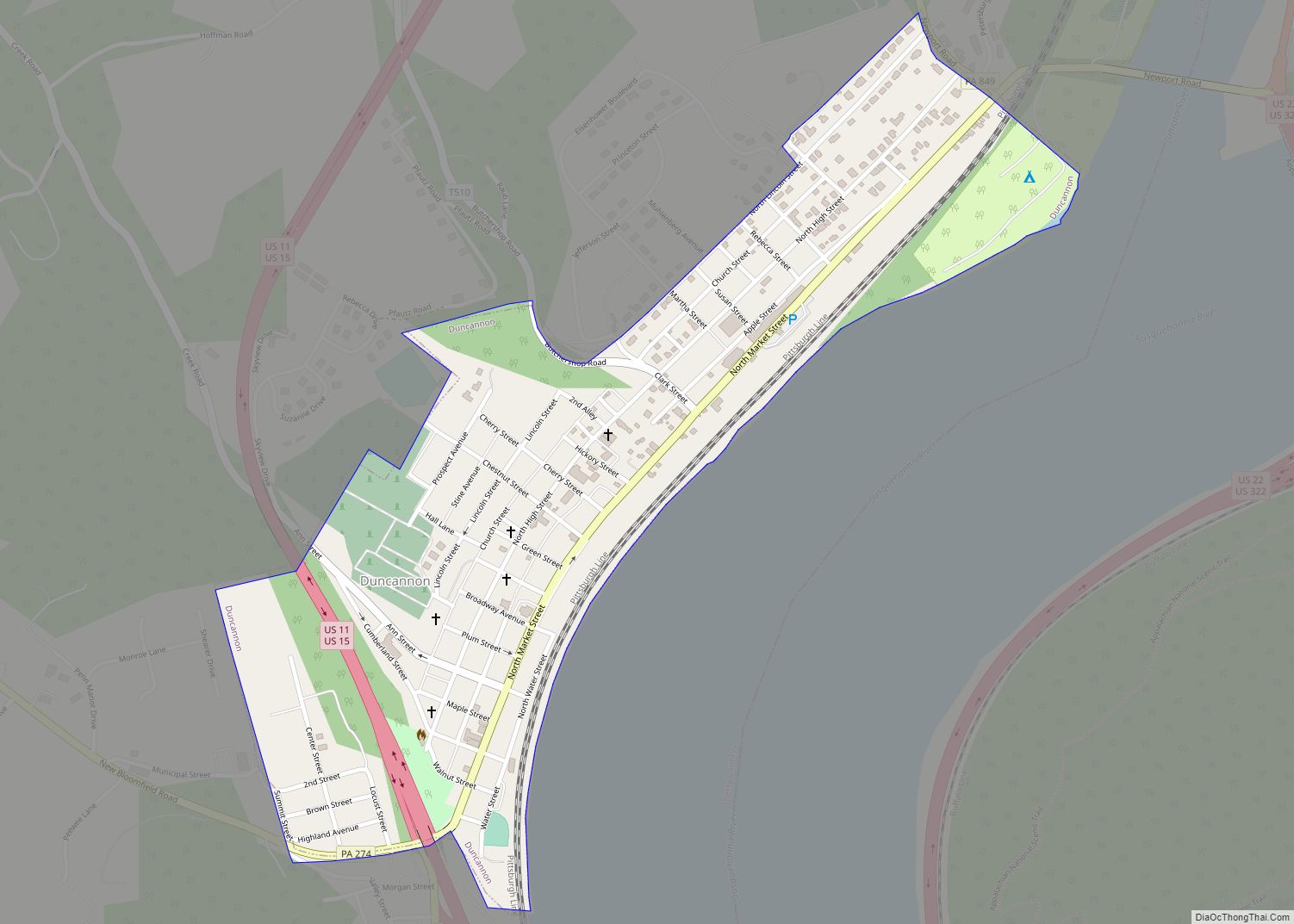
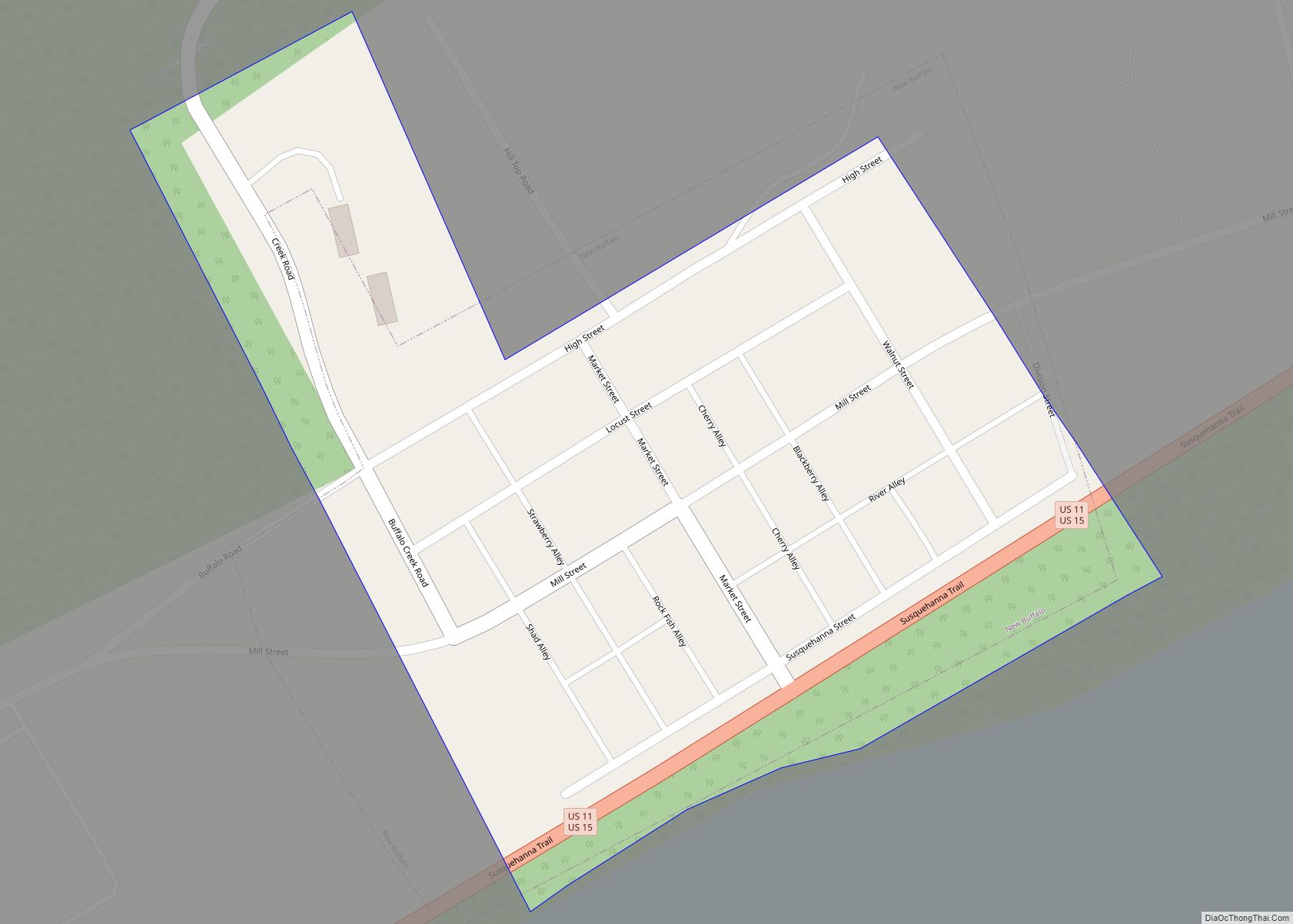
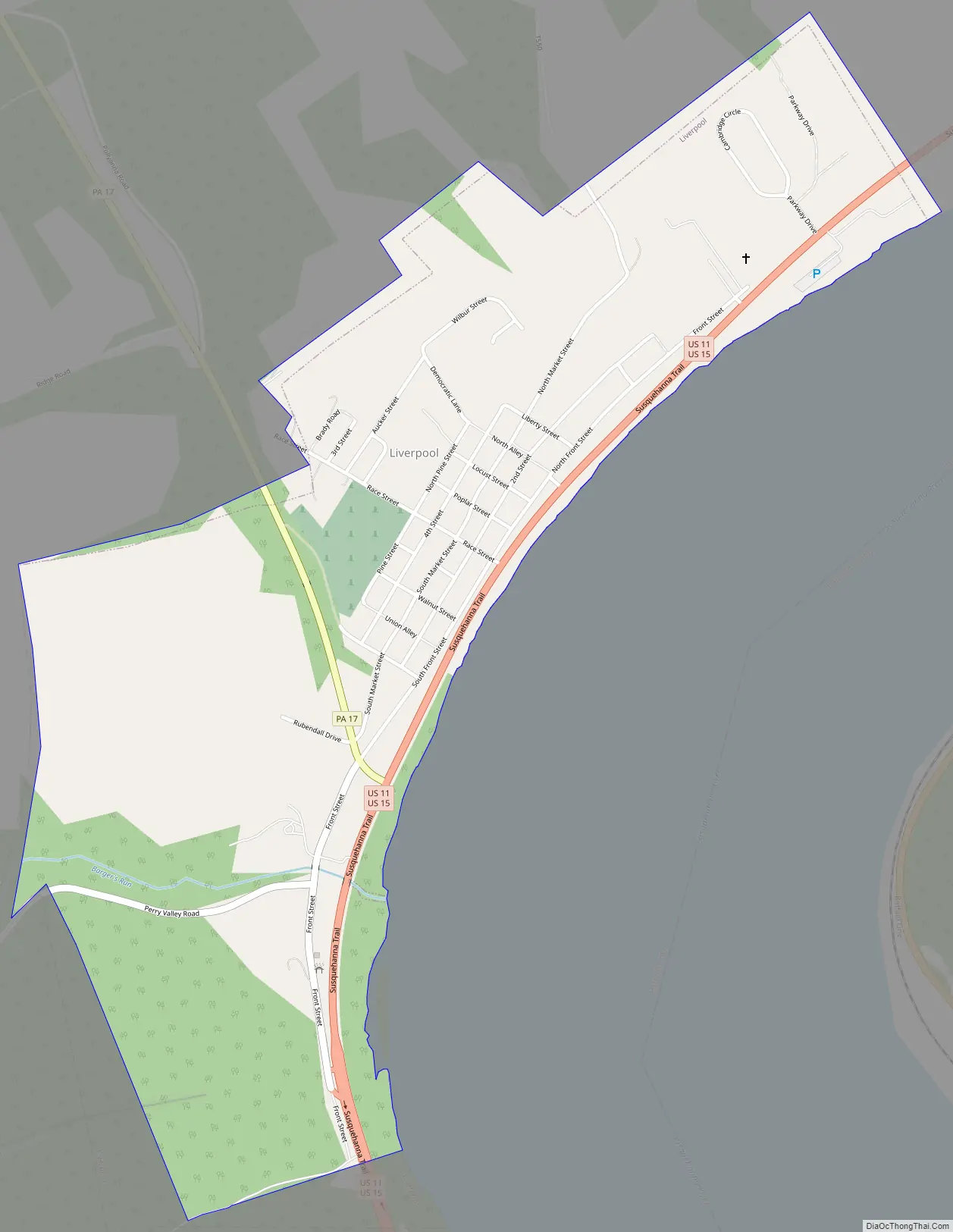
Liverpool Road Map
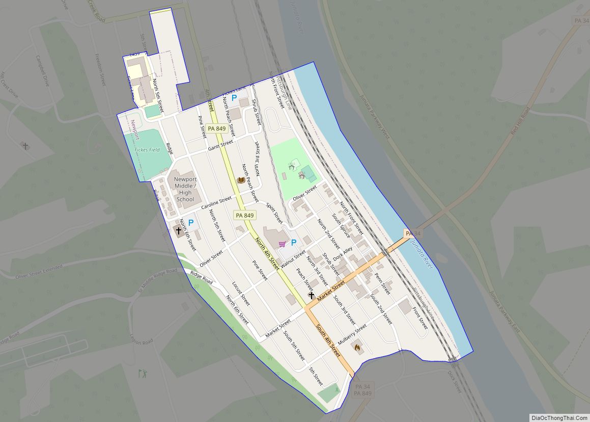
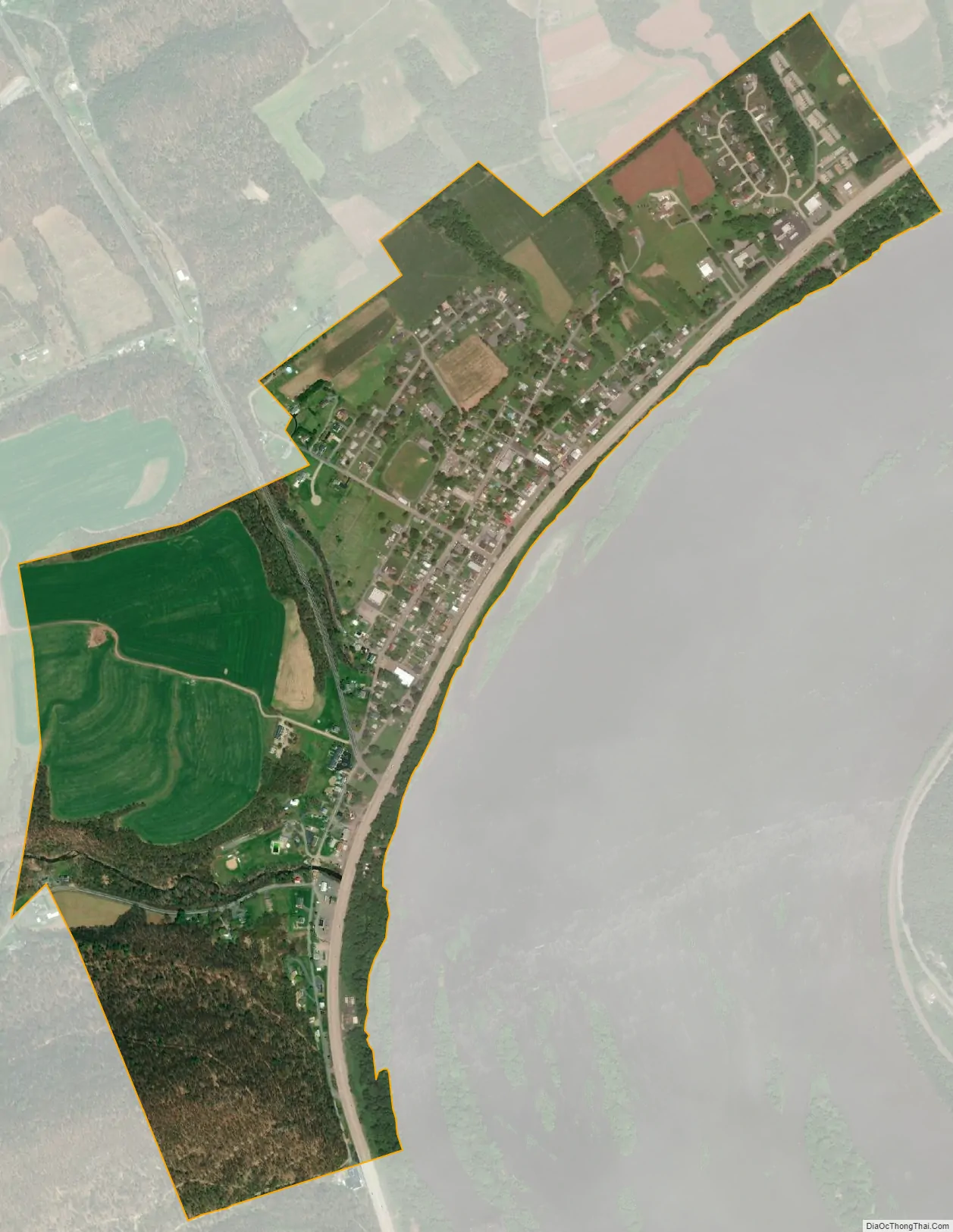
Liverpool city Satellite Map
See also
Map of Pennsylvania State and its subdivision:- Adams
- Allegheny
- Armstrong
- Beaver
- Bedford
- Berks
- Blair
- Bradford
- Bucks
- Butler
- Cambria
- Cameron
- Carbon
- Centre
- Chester
- Clarion
- Clearfield
- Clinton
- Columbia
- Crawford
- Cumberland
- Dauphin
- Delaware
- Elk
- Erie
- Fayette
- Forest
- Franklin
- Fulton
- Greene
- Huntingdon
- Indiana
- Jefferson
- Juniata
- Lackawanna
- Lancaster
- Lawrence
- Lebanon
- Lehigh
- Luzerne
- Lycoming
- Mc Kean
- Mercer
- Mifflin
- Monroe
- Montgomery
- Montour
- Northampton
- Northumberland
- Perry
- Philadelphia
- Pike
- Potter
- Schuylkill
- Snyder
- Somerset
- Sullivan
- Susquehanna
- Tioga
- Union
- Venango
- Warren
- Washington
- Wayne
- Westmoreland
- Wyoming
- York
- Alabama
- Alaska
- Arizona
- Arkansas
- California
- Colorado
- Connecticut
- Delaware
- District of Columbia
- Florida
- Georgia
- Hawaii
- Idaho
- Illinois
- Indiana
- Iowa
- Kansas
- Kentucky
- Louisiana
- Maine
- Maryland
- Massachusetts
- Michigan
- Minnesota
- Mississippi
- Missouri
- Montana
- Nebraska
- Nevada
- New Hampshire
- New Jersey
- New Mexico
- New York
- North Carolina
- North Dakota
- Ohio
- Oklahoma
- Oregon
- Pennsylvania
- Rhode Island
- South Carolina
- South Dakota
- Tennessee
- Texas
- Utah
- Vermont
- Virginia
- Washington
- West Virginia
- Wisconsin
- Wyoming