Madisonburg is an unincorporated community and census-designated place (CDP) in Miles Township, Centre County, Pennsylvania, United States. It is part of the State College, Pennsylvania Metropolitan Statistical Area. The population was 168 at the 2010 census.
| Name: | Madisonburg CDP |
|---|---|
| LSAD Code: | 57 |
| LSAD Description: | CDP (suffix) |
| State: | Pennsylvania |
| County: | Centre County |
| Elevation: | 1,290 ft (390 m) |
| Total Area: | 0.22 sq mi (0.56 km²) |
| Land Area: | 0.22 sq mi (0.56 km²) |
| Water Area: | 0.00 sq mi (0.00 km²) |
| Total Population: | 209 |
| Population Density: | 967.59/sq mi (374.22/km²) |
| ZIP code: | 16852 |
| FIPS code: | 4246504 |
| GNISfeature ID: | 1180186 |
Online Interactive Map
Click on ![]() to view map in "full screen" mode.
to view map in "full screen" mode.
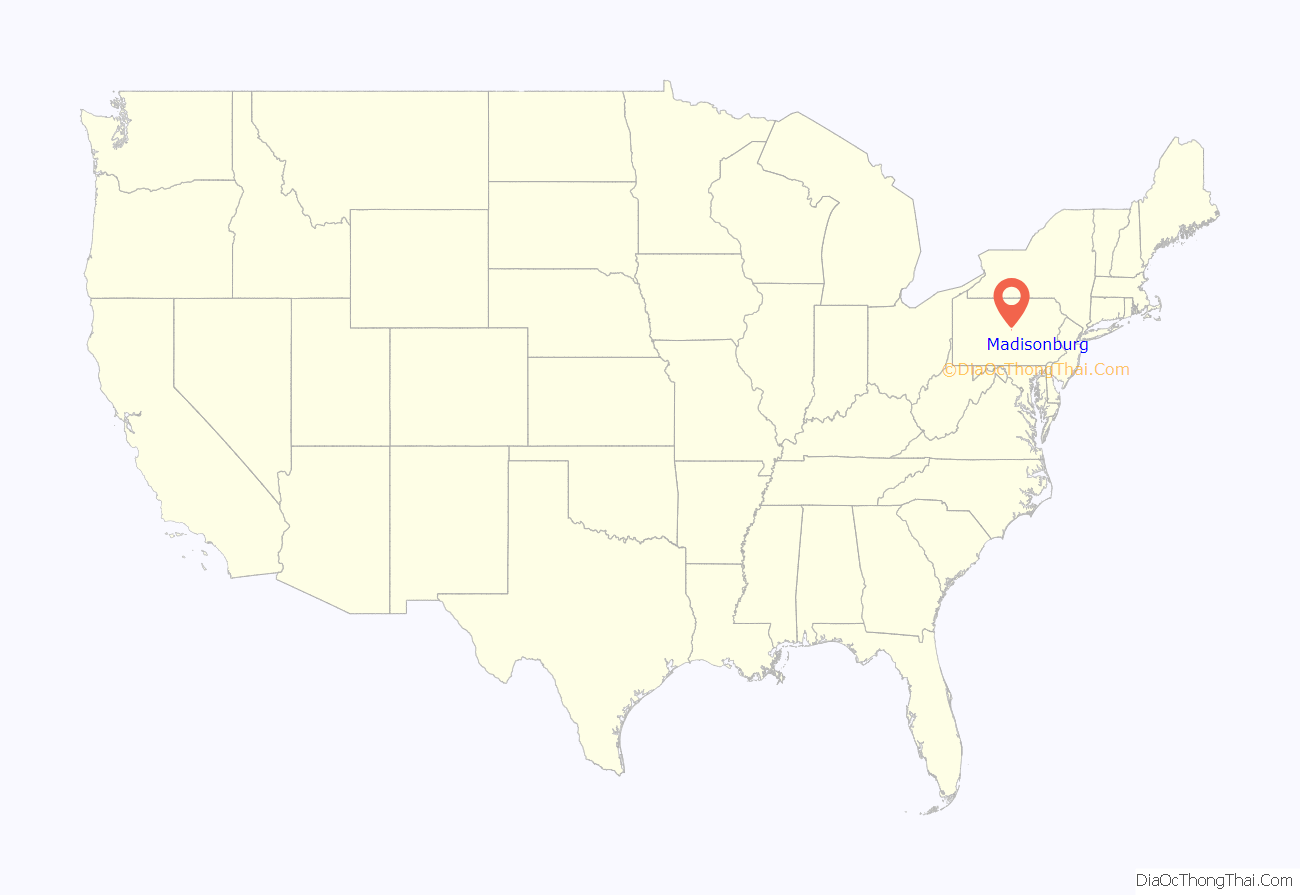
Madisonburg location map. Where is Madisonburg CDP?
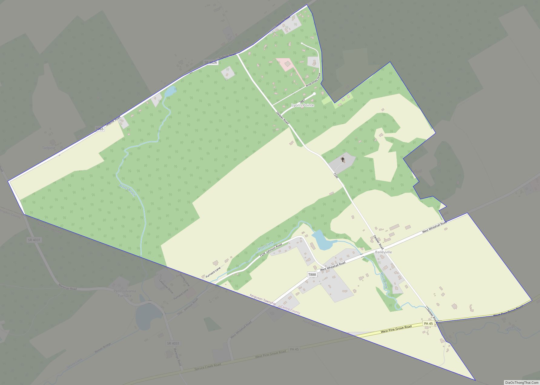
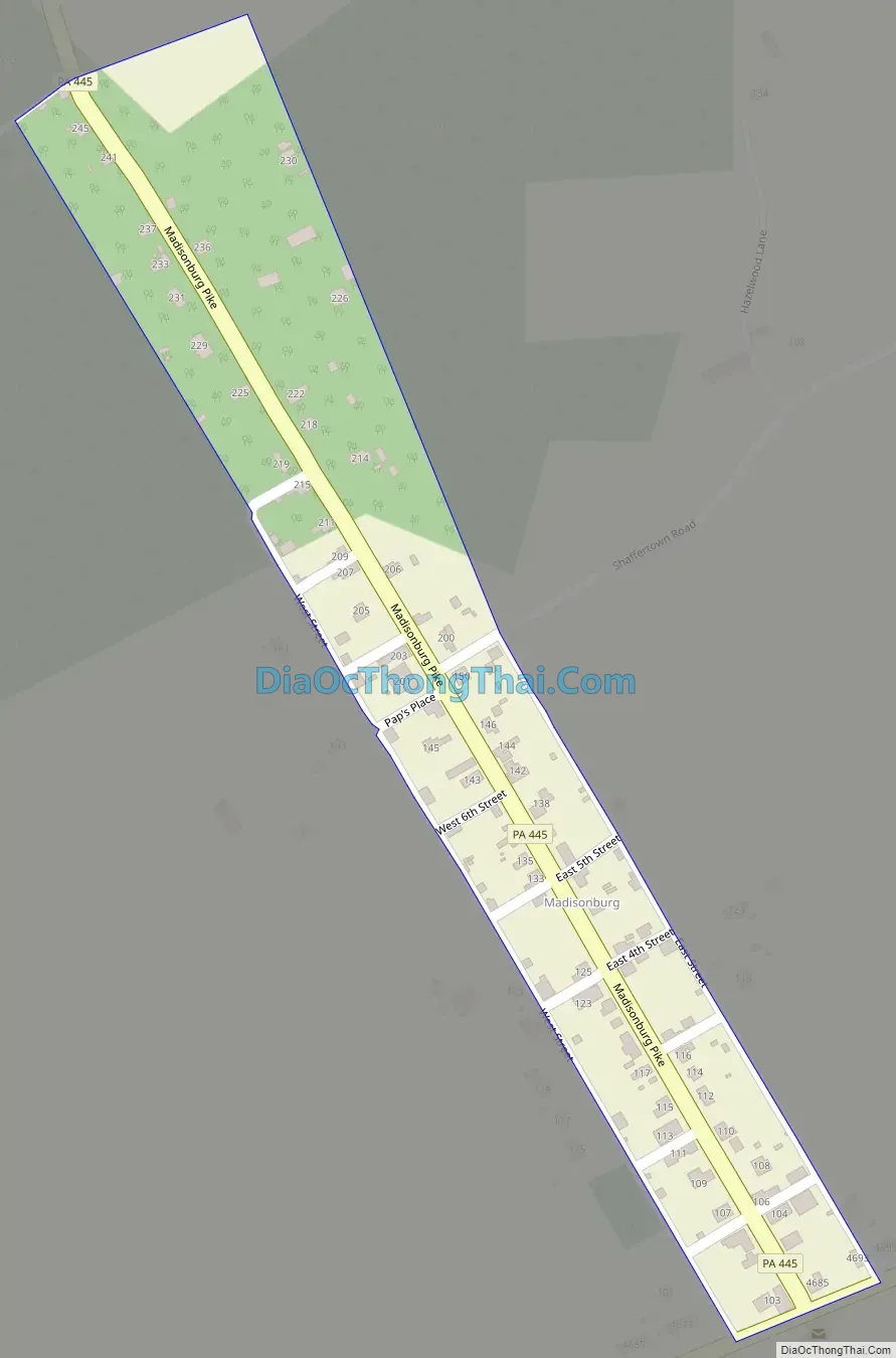
Madisonburg Road Map
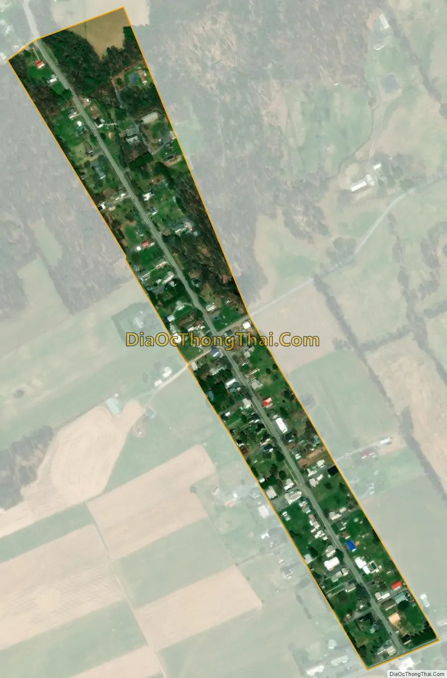
Madisonburg city Satellite Map
Geography
Madisonburg is located in eastern Centre County at 40°55′37″N 77°31′2″W / 40.92694°N 77.51722°W / 40.92694; -77.51722 (40.927049, -77.517123), in the western part of Miles Township. It is in the Brush Valley, part of the Ridge-and-Valley Province of the Appalachian Mountains. The valley lies between the parallel ridges of Nittany Mountain to the north and Brush Mountain to the south.
Pennsylvania Route 445 is the main street of the town, leading north across Nittany Mountain 7 miles (11 km) to Pennsylvania Route 64 in Nittany, which itself is 3 miles (5 km) southwest of Interstate 80. PA 445 intersects PA 192 at the southern end of Madisonburg; PA 192 leads east 4 miles (6 km) to Rebersburg and southwest 10 miles (16 km) to Centre Hall, while PA 445 follows PA 192 east for a short distance, then leads south through Brush Mountain and Shriner Mountain 4 miles (6 km) to Millheim.
According to the United States Census Bureau, Madisonburg has a total area of 0.08 square miles (0.20 km), all land.
See also
Map of Pennsylvania State and its subdivision:- Adams
- Allegheny
- Armstrong
- Beaver
- Bedford
- Berks
- Blair
- Bradford
- Bucks
- Butler
- Cambria
- Cameron
- Carbon
- Centre
- Chester
- Clarion
- Clearfield
- Clinton
- Columbia
- Crawford
- Cumberland
- Dauphin
- Delaware
- Elk
- Erie
- Fayette
- Forest
- Franklin
- Fulton
- Greene
- Huntingdon
- Indiana
- Jefferson
- Juniata
- Lackawanna
- Lancaster
- Lawrence
- Lebanon
- Lehigh
- Luzerne
- Lycoming
- Mc Kean
- Mercer
- Mifflin
- Monroe
- Montgomery
- Montour
- Northampton
- Northumberland
- Perry
- Philadelphia
- Pike
- Potter
- Schuylkill
- Snyder
- Somerset
- Sullivan
- Susquehanna
- Tioga
- Union
- Venango
- Warren
- Washington
- Wayne
- Westmoreland
- Wyoming
- York
- Alabama
- Alaska
- Arizona
- Arkansas
- California
- Colorado
- Connecticut
- Delaware
- District of Columbia
- Florida
- Georgia
- Hawaii
- Idaho
- Illinois
- Indiana
- Iowa
- Kansas
- Kentucky
- Louisiana
- Maine
- Maryland
- Massachusetts
- Michigan
- Minnesota
- Mississippi
- Missouri
- Montana
- Nebraska
- Nevada
- New Hampshire
- New Jersey
- New Mexico
- New York
- North Carolina
- North Dakota
- Ohio
- Oklahoma
- Oregon
- Pennsylvania
- Rhode Island
- South Carolina
- South Dakota
- Tennessee
- Texas
- Utah
- Vermont
- Virginia
- Washington
- West Virginia
- Wisconsin
- Wyoming