Martinsburg is a borough in the Morrisons Cove section of Blair County, Pennsylvania, United States. The population was 1,874 at the 2020 census. It is part of the Altoona, PA Metropolitan Statistical Area.
| Name: | Martinsburg borough |
|---|---|
| LSAD Code: | 21 |
| LSAD Description: | borough (suffix) |
| State: | Pennsylvania |
| County: | Blair County |
| Incorporated: | 1832 |
| Elevation: | 1,404 ft (428 m) |
| Total Area: | 0.65 sq mi (1.67 km²) |
| Land Area: | 0.65 sq mi (1.67 km²) |
| Water Area: | 0.00 sq mi (0.00 km²) |
| Total Population: | 1,876 |
| Population Density: | 2,904.02/sq mi (1,121.68/km²) |
| Area code: | 814 |
| FIPS code: | 4247872 |
| GNISfeature ID: | 1180504 |
| Website: | www.martinsburgpa.org |
Online Interactive Map
Click on ![]() to view map in "full screen" mode.
to view map in "full screen" mode.
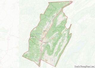
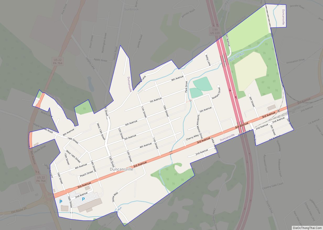
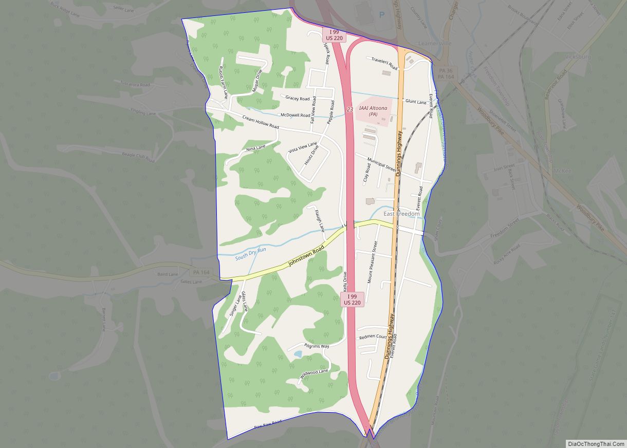
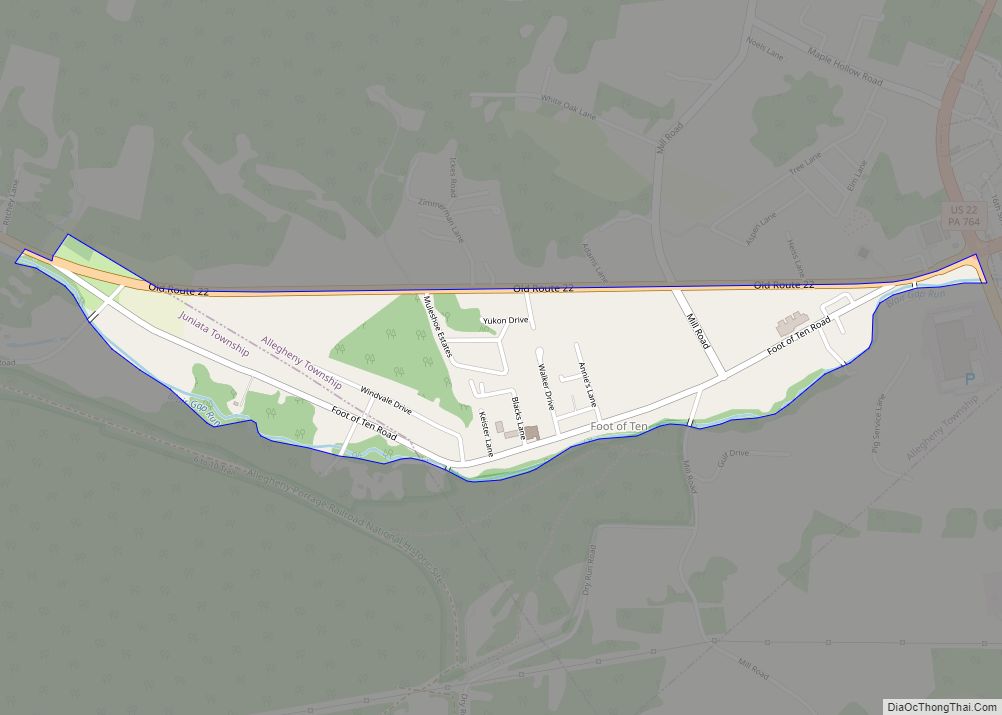
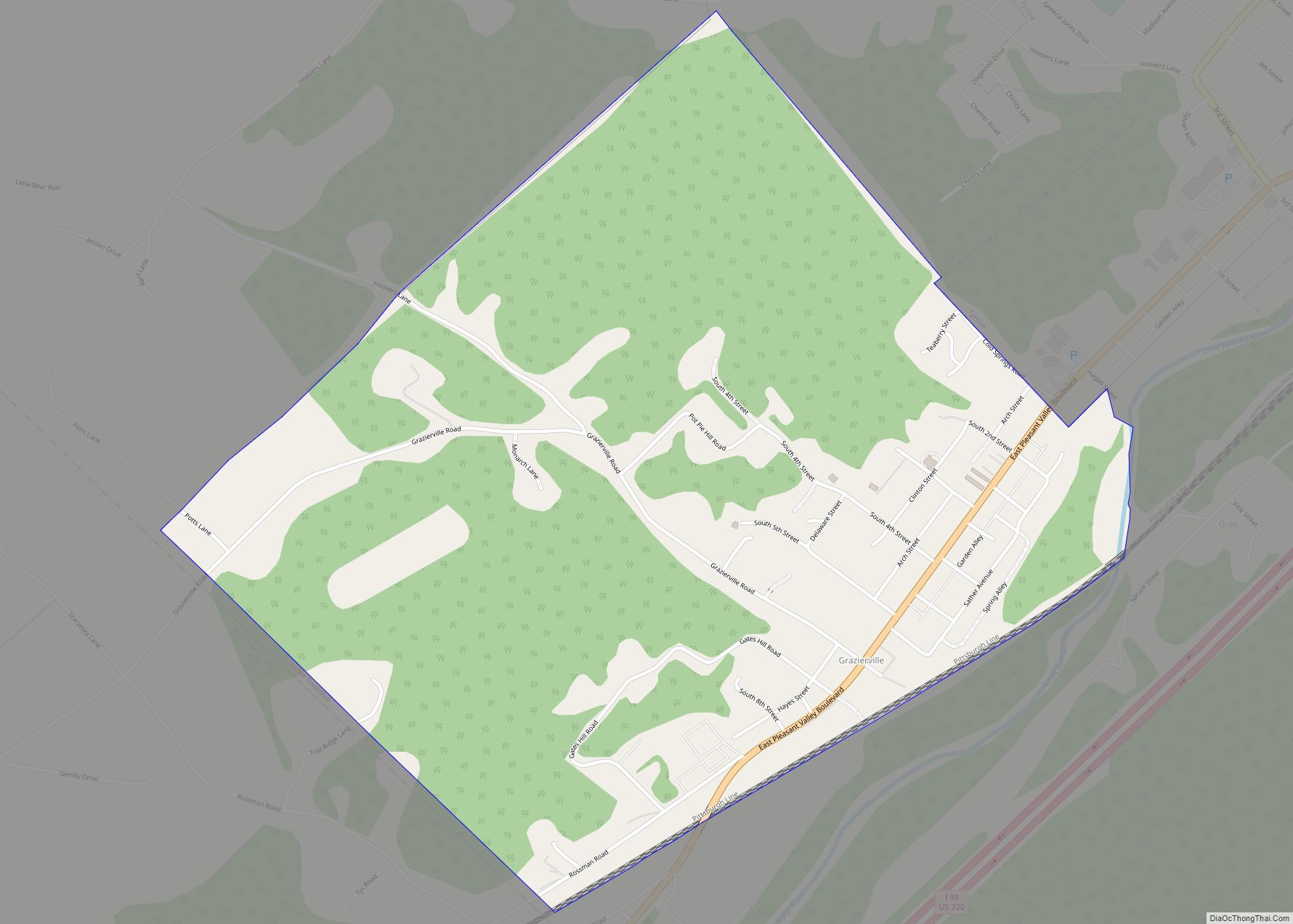
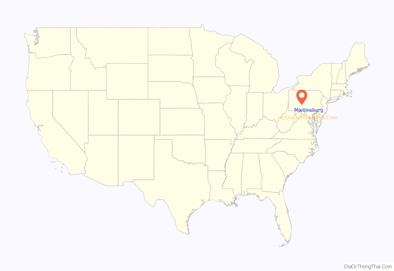
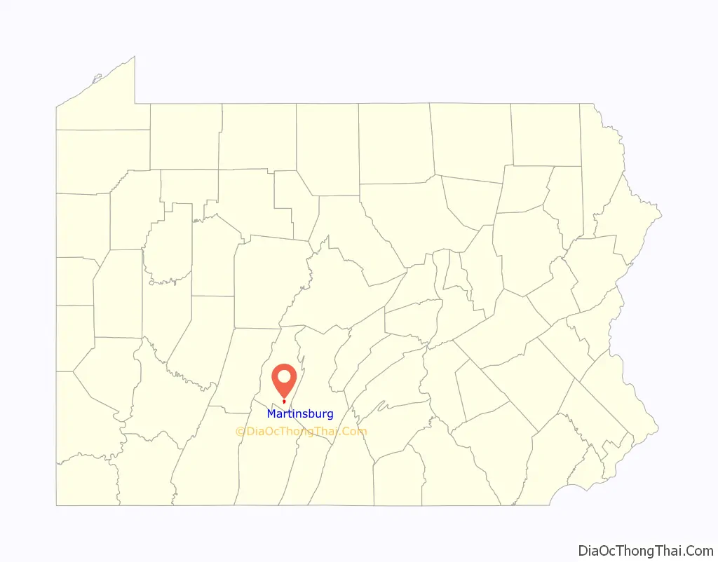
Martinsburg location map. Where is Martinsburg borough?
History
The community was named after John Martin, a pioneer citizen.
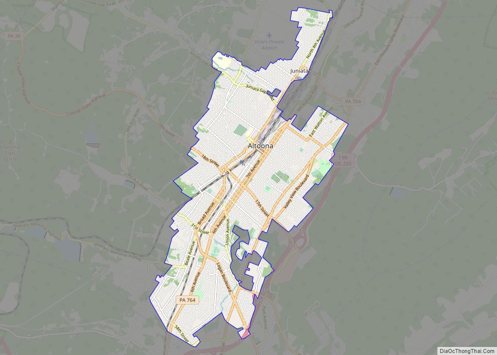
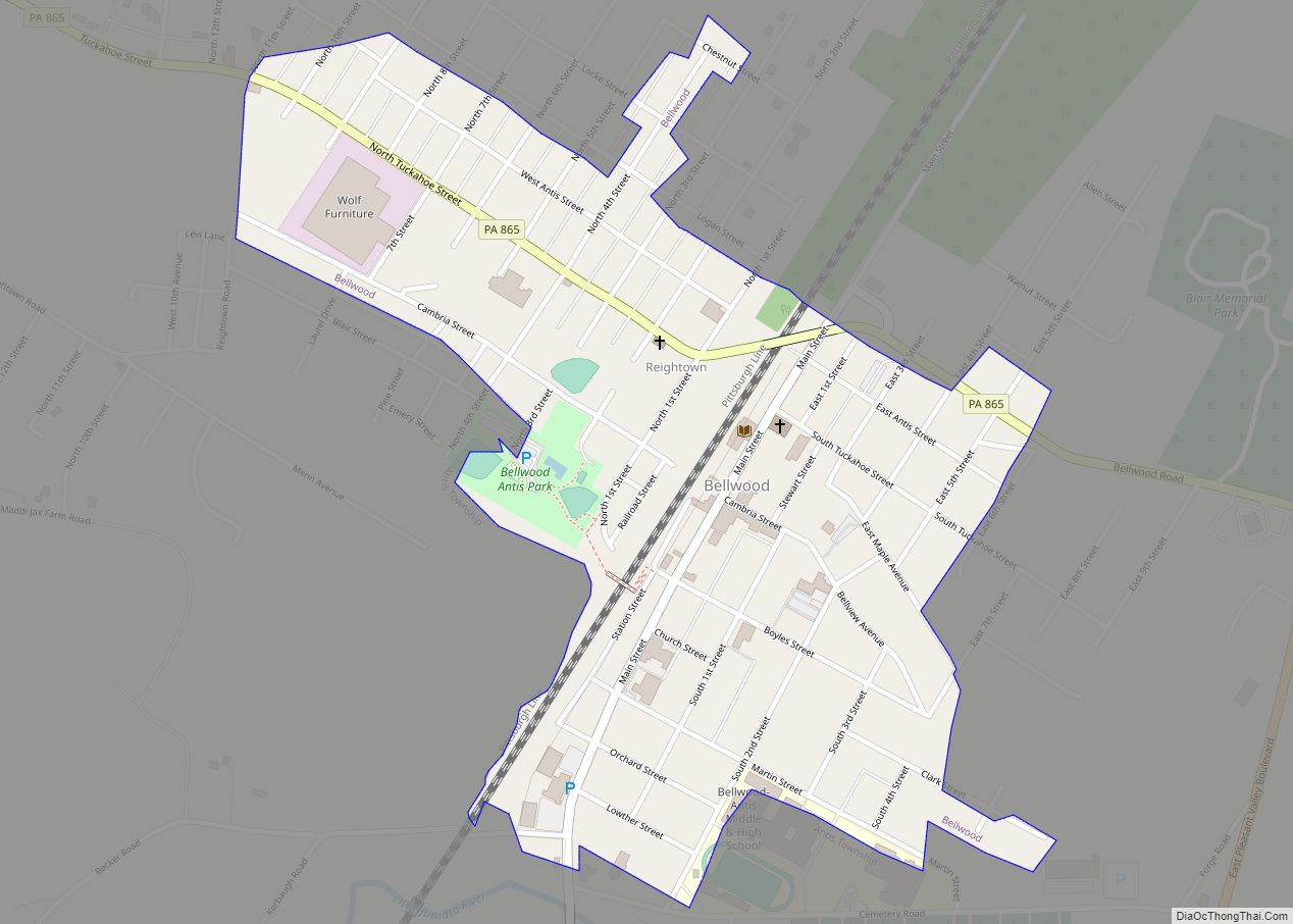
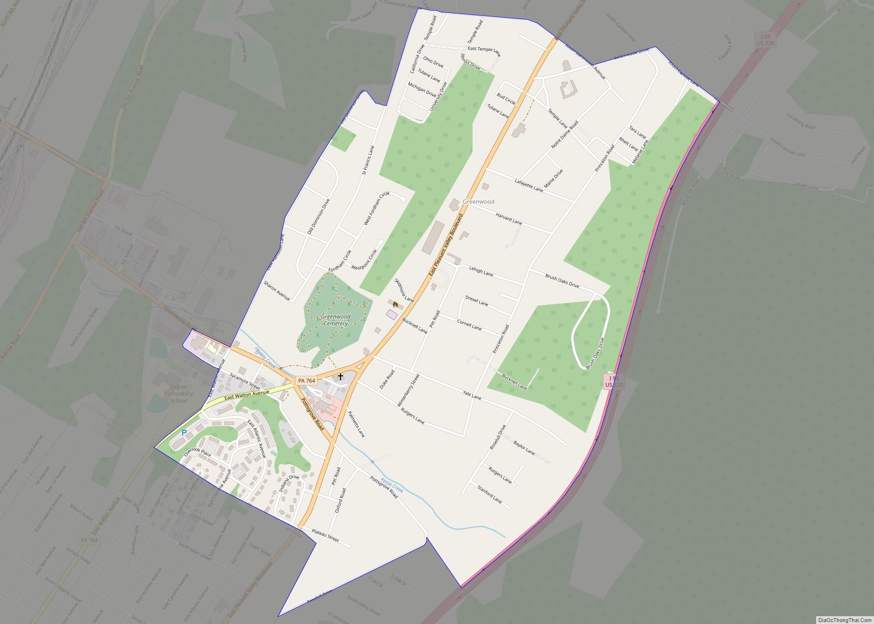
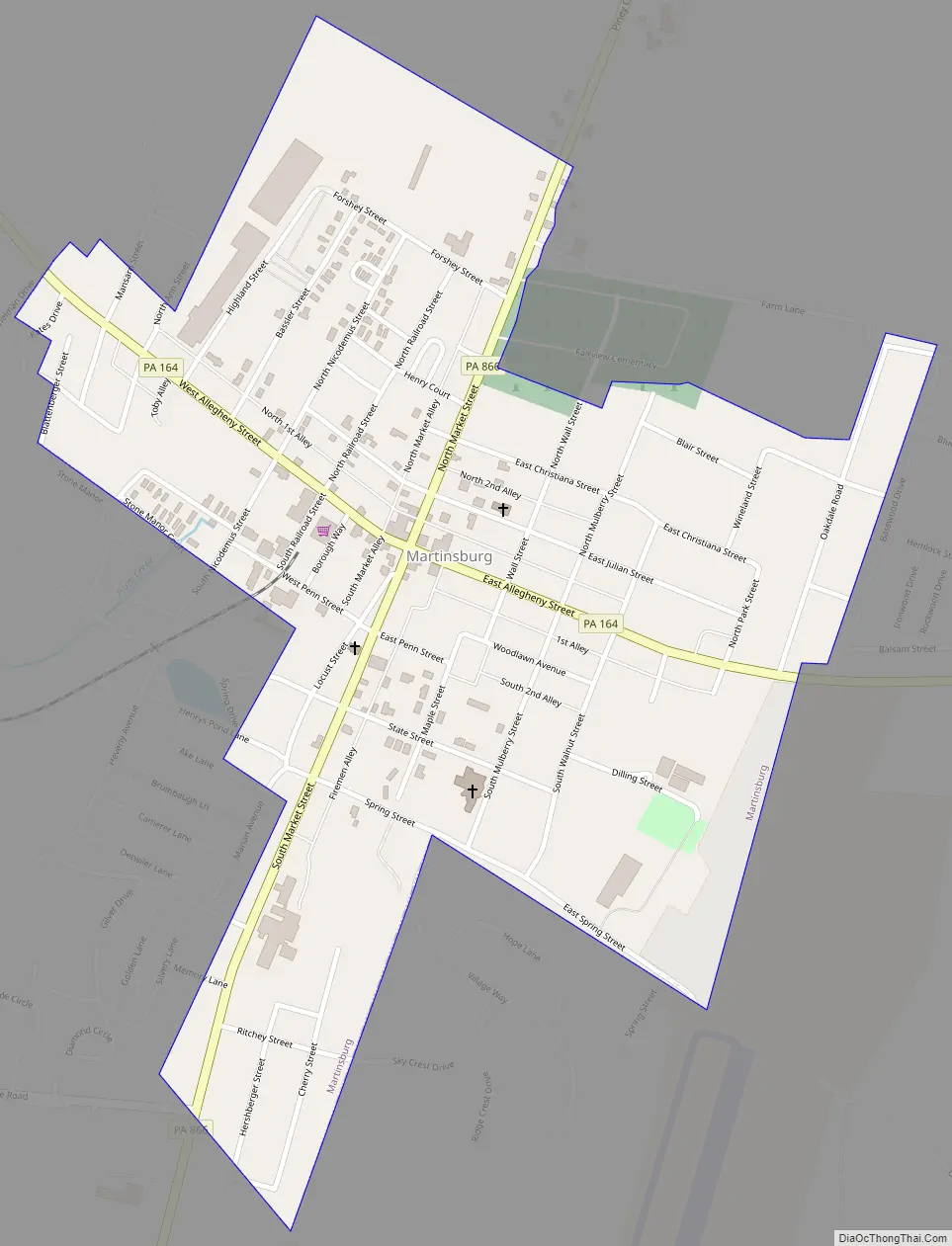
Martinsburg Road Map
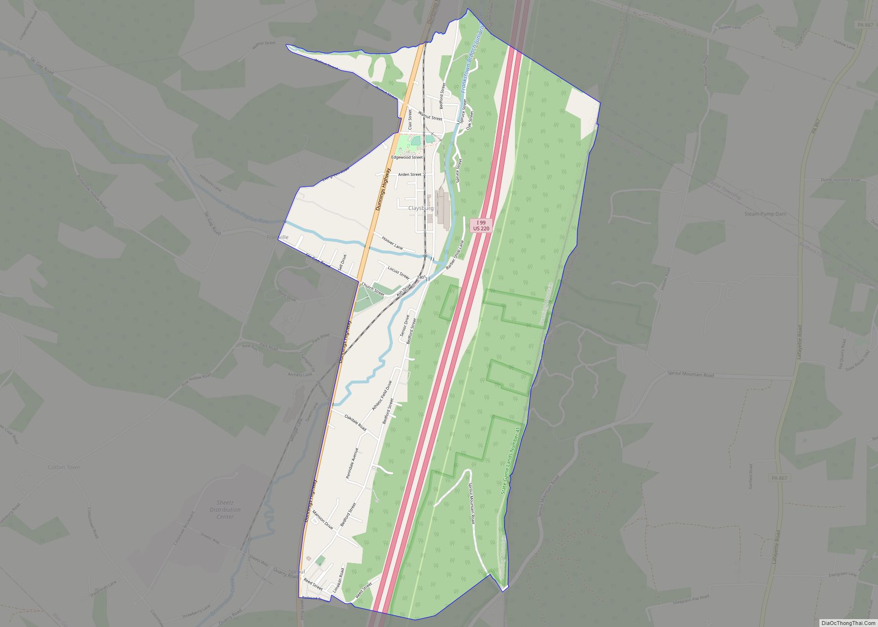
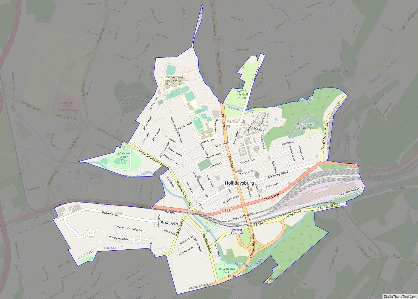
Martinsburg city Satellite Map
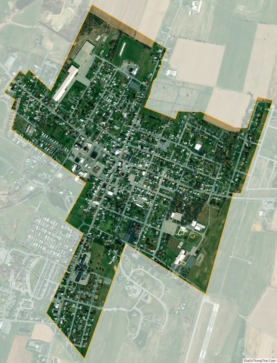
Geography
Martinsburg is located at 40°18′38″N 78°19′32″W / 40.31056°N 78.32556°W / 40.31056; -78.32556 (40.310548, -78.325628).
According to the United States Census Bureau, the borough has a total area of 0.6 square miles (1.6 km), all land.
See also
Map of Pennsylvania State and its subdivision:- Adams
- Allegheny
- Armstrong
- Beaver
- Bedford
- Berks
- Blair
- Bradford
- Bucks
- Butler
- Cambria
- Cameron
- Carbon
- Centre
- Chester
- Clarion
- Clearfield
- Clinton
- Columbia
- Crawford
- Cumberland
- Dauphin
- Delaware
- Elk
- Erie
- Fayette
- Forest
- Franklin
- Fulton
- Greene
- Huntingdon
- Indiana
- Jefferson
- Juniata
- Lackawanna
- Lancaster
- Lawrence
- Lebanon
- Lehigh
- Luzerne
- Lycoming
- Mc Kean
- Mercer
- Mifflin
- Monroe
- Montgomery
- Montour
- Northampton
- Northumberland
- Perry
- Philadelphia
- Pike
- Potter
- Schuylkill
- Snyder
- Somerset
- Sullivan
- Susquehanna
- Tioga
- Union
- Venango
- Warren
- Washington
- Wayne
- Westmoreland
- Wyoming
- York
- Alabama
- Alaska
- Arizona
- Arkansas
- California
- Colorado
- Connecticut
- Delaware
- District of Columbia
- Florida
- Georgia
- Hawaii
- Idaho
- Illinois
- Indiana
- Iowa
- Kansas
- Kentucky
- Louisiana
- Maine
- Maryland
- Massachusetts
- Michigan
- Minnesota
- Mississippi
- Missouri
- Montana
- Nebraska
- Nevada
- New Hampshire
- New Jersey
- New Mexico
- New York
- North Carolina
- North Dakota
- Ohio
- Oklahoma
- Oregon
- Pennsylvania
- Rhode Island
- South Carolina
- South Dakota
- Tennessee
- Texas
- Utah
- Vermont
- Virginia
- Washington
- West Virginia
- Wisconsin
- Wyoming