McAdoo is a borough and coal town in Schuylkill County, Pennsylvania, United States, 5 miles (8.0 km) south of Hazleton and seven miles north of Tamaqua. McAdoo contains the picturesque Silver Brook Meadow. In the past, anthracite coal mining and a shirt factory, the McAdoo Manufacturing Company, provided gainful employment to the populace. The population was 2,477 at the 2020 census.
| Name: | McAdoo borough |
|---|---|
| LSAD Code: | 21 |
| LSAD Description: | borough (suffix) |
| State: | Pennsylvania |
| County: | Schuylkill County |
| Incorporated: | 1896 |
| Total Area: | 0.35 sq mi (0.90 km²) |
| Land Area: | 0.35 sq mi (0.90 km²) |
| Water Area: | 0.00 sq mi (0.00 km²) |
| Total Population: | 2,471 |
| Population Density: | 7,121.04/sq mi (2,750.06/km²) |
| ZIP code: | 18237 |
| Area code: | 570 |
| FIPS code: | 4245824 |
Online Interactive Map
Click on ![]() to view map in "full screen" mode.
to view map in "full screen" mode.
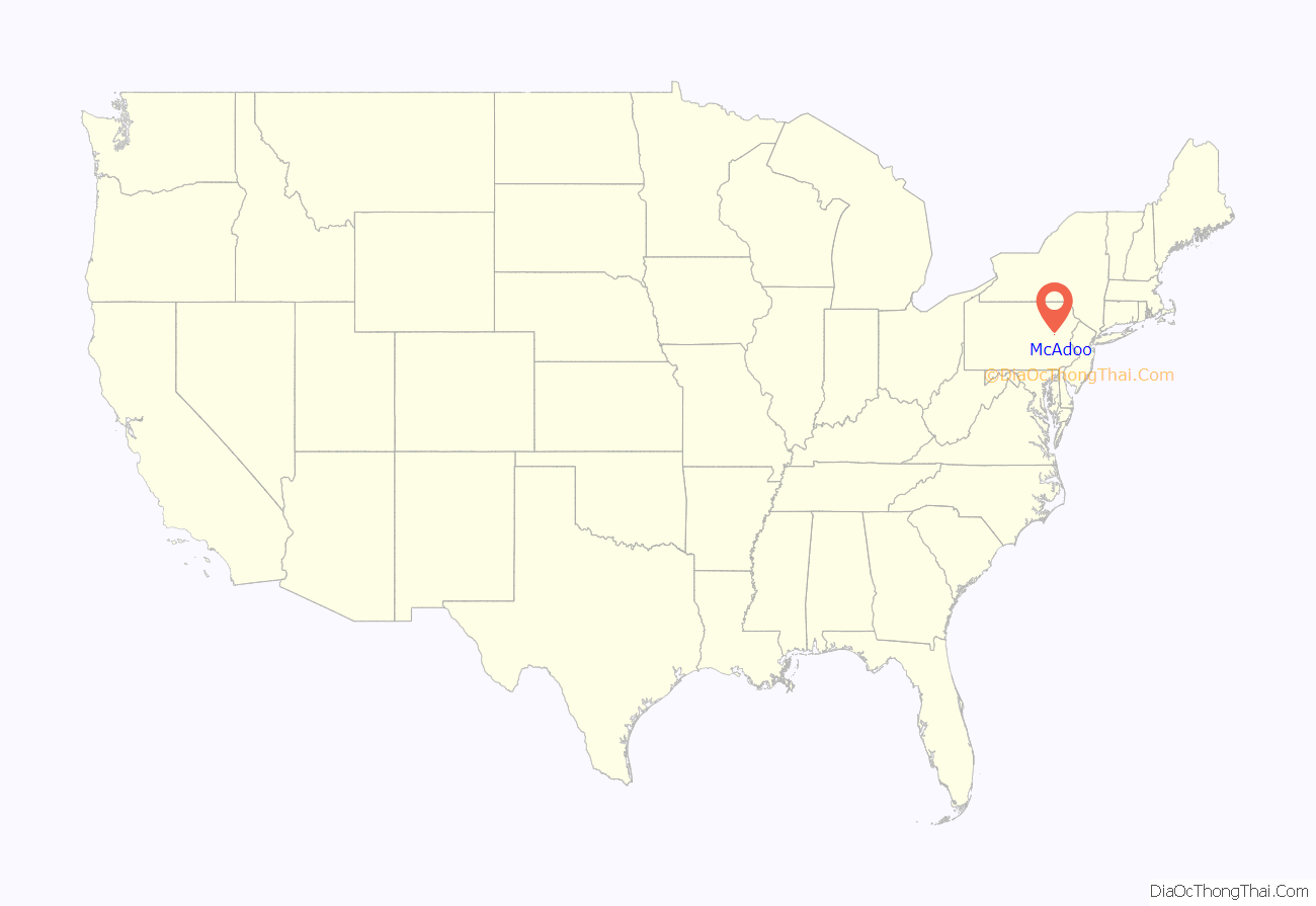
McAdoo location map. Where is McAdoo borough?
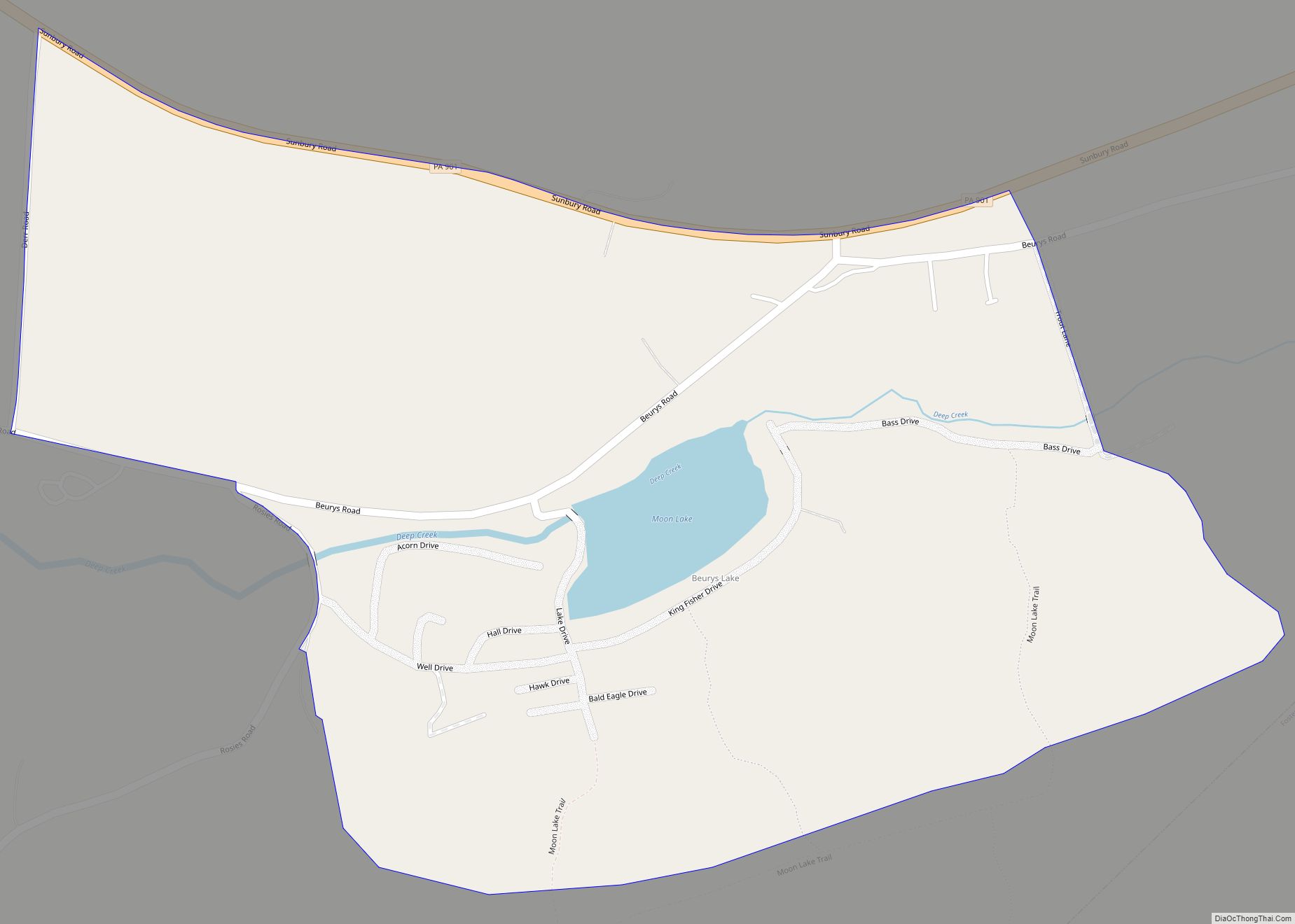
McAdoo Road Map
McAdoo city Satellite Map
Geography
According to the United States Census Bureau, the borough has a total area of 0.3 square miles (0.78 km), all land. McAdoo’s elevation is 1700 feet above sea level. It is on the crest of Broad Mountain and straddles the divide between the Delaware and Susquehanna watersheds. Pennsylvania Route 309 (Kennedy Drive) is the main north-to-south thoroughfare. Interstate 81 runs a short distance west of town and parallel to PA 309. The two routes have an access highway connecting them just south of McAdoo at exit 138 of I-81. McAdoo has a warm-summer humid continental climate (Dfb) and the hardiness zone is 6a. Average monthly temperatures range from 23.5 °F in January to 70.1 °F in July. [1]
See also
Map of Pennsylvania State and its subdivision:- Adams
- Allegheny
- Armstrong
- Beaver
- Bedford
- Berks
- Blair
- Bradford
- Bucks
- Butler
- Cambria
- Cameron
- Carbon
- Centre
- Chester
- Clarion
- Clearfield
- Clinton
- Columbia
- Crawford
- Cumberland
- Dauphin
- Delaware
- Elk
- Erie
- Fayette
- Forest
- Franklin
- Fulton
- Greene
- Huntingdon
- Indiana
- Jefferson
- Juniata
- Lackawanna
- Lancaster
- Lawrence
- Lebanon
- Lehigh
- Luzerne
- Lycoming
- Mc Kean
- Mercer
- Mifflin
- Monroe
- Montgomery
- Montour
- Northampton
- Northumberland
- Perry
- Philadelphia
- Pike
- Potter
- Schuylkill
- Snyder
- Somerset
- Sullivan
- Susquehanna
- Tioga
- Union
- Venango
- Warren
- Washington
- Wayne
- Westmoreland
- Wyoming
- York
- Alabama
- Alaska
- Arizona
- Arkansas
- California
- Colorado
- Connecticut
- Delaware
- District of Columbia
- Florida
- Georgia
- Hawaii
- Idaho
- Illinois
- Indiana
- Iowa
- Kansas
- Kentucky
- Louisiana
- Maine
- Maryland
- Massachusetts
- Michigan
- Minnesota
- Mississippi
- Missouri
- Montana
- Nebraska
- Nevada
- New Hampshire
- New Jersey
- New Mexico
- New York
- North Carolina
- North Dakota
- Ohio
- Oklahoma
- Oregon
- Pennsylvania
- Rhode Island
- South Carolina
- South Dakota
- Tennessee
- Texas
- Utah
- Vermont
- Virginia
- Washington
- West Virginia
- Wisconsin
- Wyoming
