McSherrystown is a borough in Adams County, Pennsylvania, United States. The population was 3,077 as of the 2020 census.
McSherrystown was home to the headquarters of Teddy Bear manufacturer Boyds Bears, as well as the oldest operating family-run cigar manufacturer in the U.S. (since 1863), F.X. Smith & Sons. Boyds has since closed down, and in 2018, the cigar company was sold.
| Name: | McSherrystown borough |
|---|---|
| LSAD Code: | 21 |
| LSAD Description: | borough (suffix) |
| State: | Pennsylvania |
| County: | Adams County |
| Incorporated: | 1882 |
| Elevation: | 587 ft (179 m) |
| Total Area: | 0.51 sq mi (1.33 km²) |
| Land Area: | 0.51 sq mi (1.33 km²) |
| Water Area: | 0.00 sq mi (0.00 km²) |
| Total Population: | 3,077 |
| Population Density: | 6,009.77/sq mi (2,321.57/km²) |
| Area code: | 717 |
| FIPS code: | 4246376 |
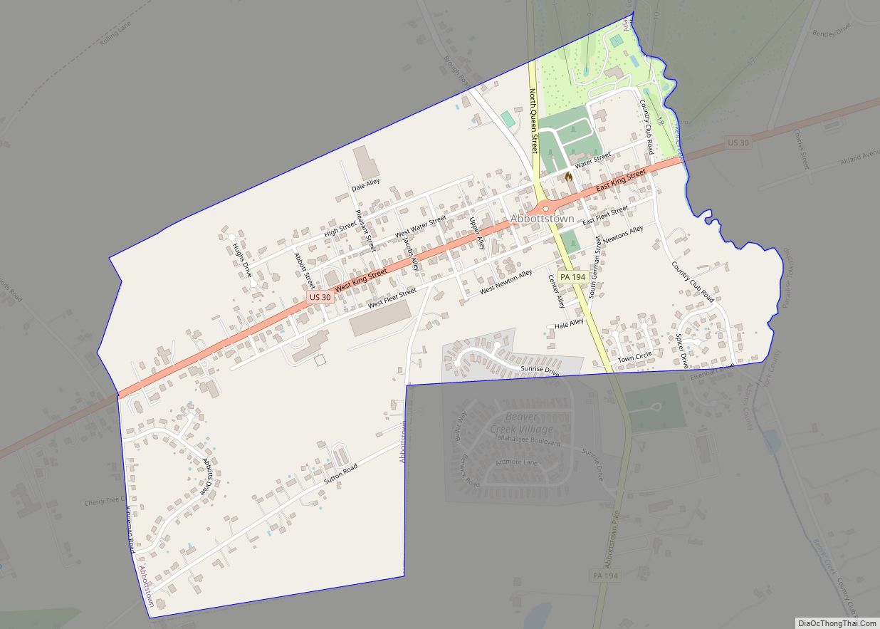
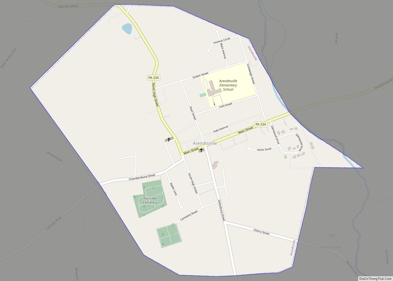
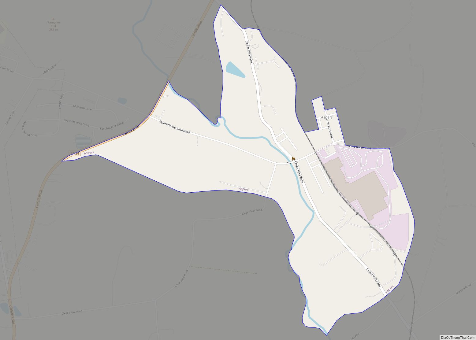
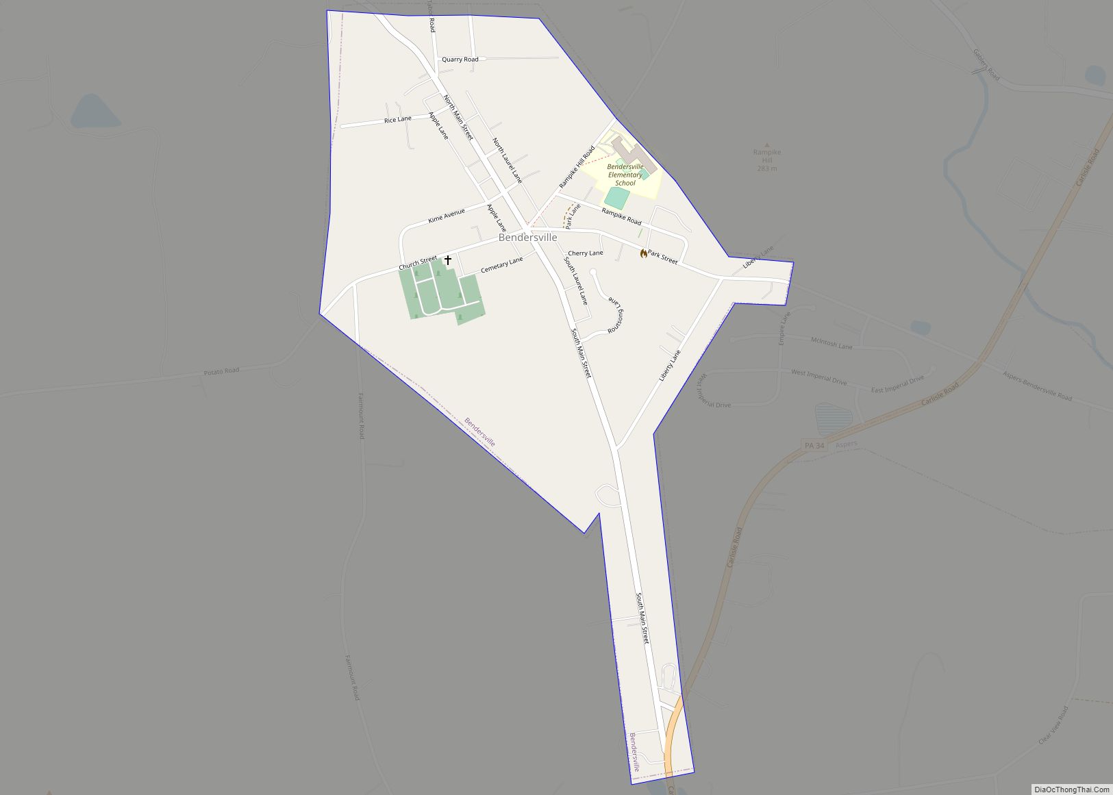
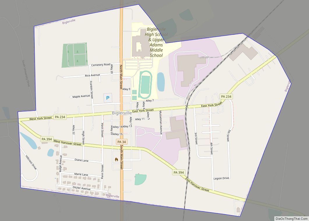
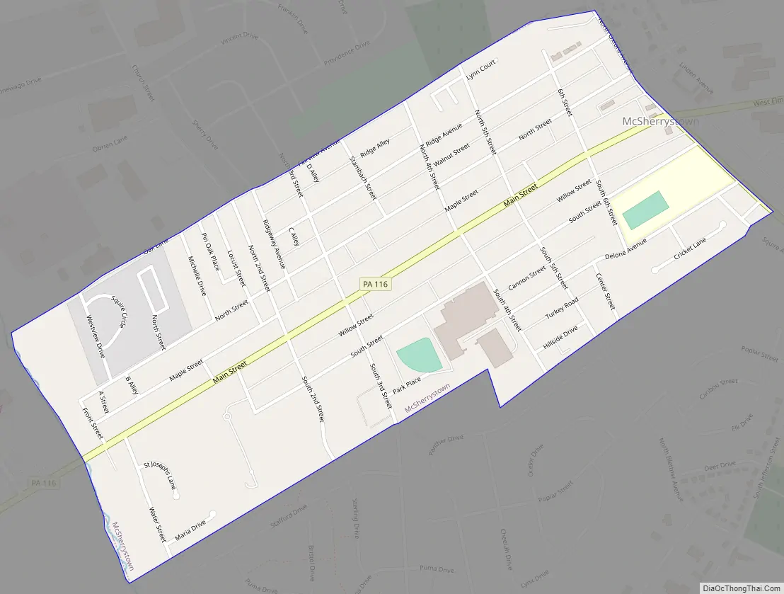
Online Interactive Map
Click on ![]() to view map in "full screen" mode.
to view map in "full screen" mode.
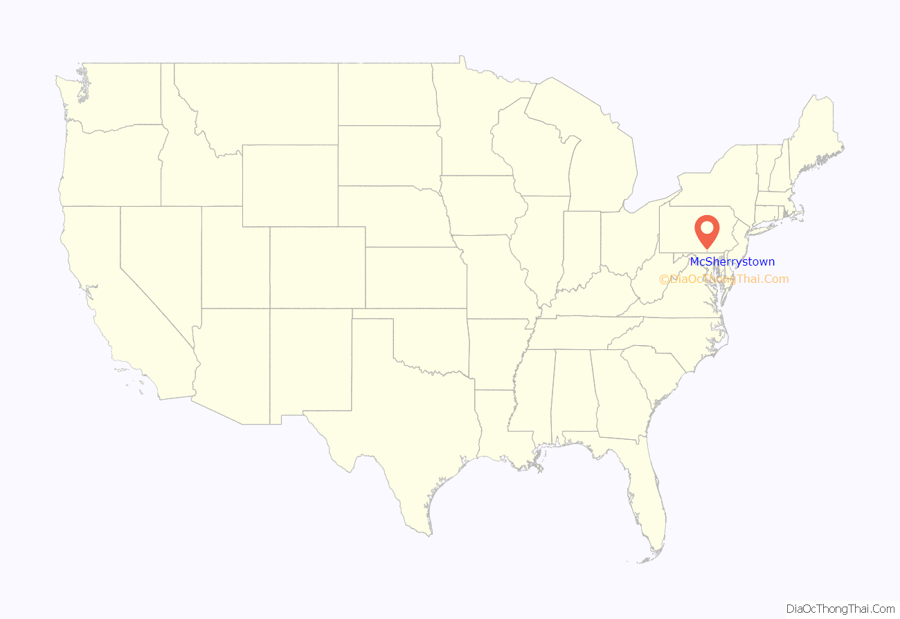
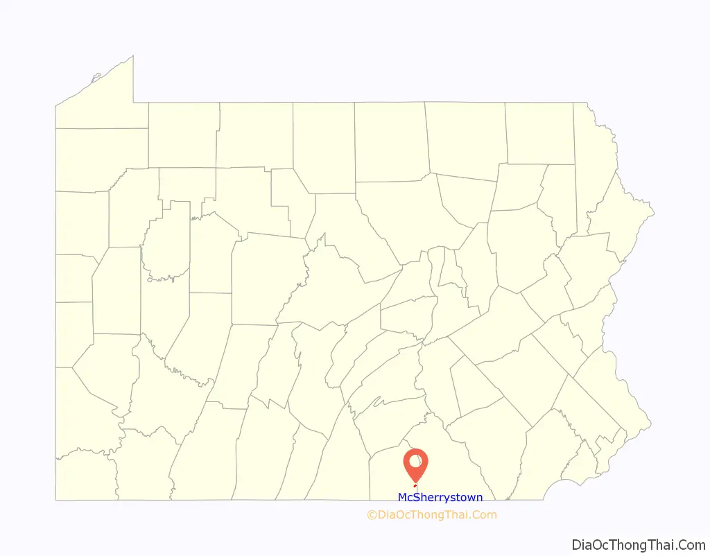
McSherrystown location map. Where is McSherrystown borough?
History
McSherrystown is the fourth oldest town in Adams County. Its founder, Patrick McSherry (1725–1795) having family origins stemming from Newry, Northern Ireland, procured a 300-acre (1.2 km) tract from the Digges Family in 1763 and proceeded to lay out a number of 5-acre (20,000 m) lots. The first known deed for one of these lots was dated June 27, 1765. Although McSherry may have intended his effort to be used primarily as outlots for Hanover residents, where they could keep their animals at times and obtain wood, it soon developed into a full-fledged town. McSherry, who lived in Mount Pleasant Township in 1765 and was later tavern-keeper in Littlestown, may never have lived in the town which bears his name.
McSherrystown Road Map
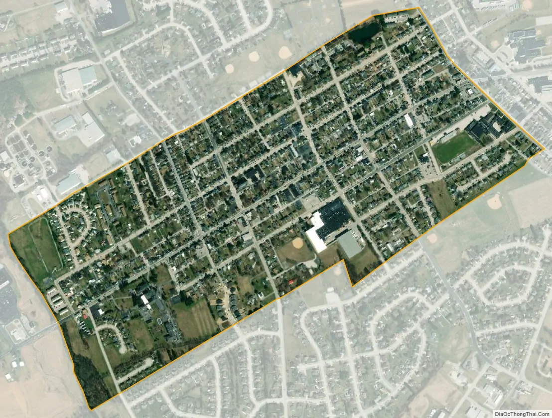
McSherrystown city Satellite Map
Geography
McSherrystown is located at 39°48′15″N 77°1′9″W / 39.80417°N 77.01917°W / 39.80417; -77.01917 (39.804202, -77.019301).
According to the United States Census Bureau, the borough has a total area of 0.5 square miles (1.3 km), all land.
See also
Map of Pennsylvania State and its subdivision:- Adams
- Allegheny
- Armstrong
- Beaver
- Bedford
- Berks
- Blair
- Bradford
- Bucks
- Butler
- Cambria
- Cameron
- Carbon
- Centre
- Chester
- Clarion
- Clearfield
- Clinton
- Columbia
- Crawford
- Cumberland
- Dauphin
- Delaware
- Elk
- Erie
- Fayette
- Forest
- Franklin
- Fulton
- Greene
- Huntingdon
- Indiana
- Jefferson
- Juniata
- Lackawanna
- Lancaster
- Lawrence
- Lebanon
- Lehigh
- Luzerne
- Lycoming
- Mc Kean
- Mercer
- Mifflin
- Monroe
- Montgomery
- Montour
- Northampton
- Northumberland
- Perry
- Philadelphia
- Pike
- Potter
- Schuylkill
- Snyder
- Somerset
- Sullivan
- Susquehanna
- Tioga
- Union
- Venango
- Warren
- Washington
- Wayne
- Westmoreland
- Wyoming
- York
- Alabama
- Alaska
- Arizona
- Arkansas
- California
- Colorado
- Connecticut
- Delaware
- District of Columbia
- Florida
- Georgia
- Hawaii
- Idaho
- Illinois
- Indiana
- Iowa
- Kansas
- Kentucky
- Louisiana
- Maine
- Maryland
- Massachusetts
- Michigan
- Minnesota
- Mississippi
- Missouri
- Montana
- Nebraska
- Nevada
- New Hampshire
- New Jersey
- New Mexico
- New York
- North Carolina
- North Dakota
- Ohio
- Oklahoma
- Oregon
- Pennsylvania
- Rhode Island
- South Carolina
- South Dakota
- Tennessee
- Texas
- Utah
- Vermont
- Virginia
- Washington
- West Virginia
- Wisconsin
- Wyoming