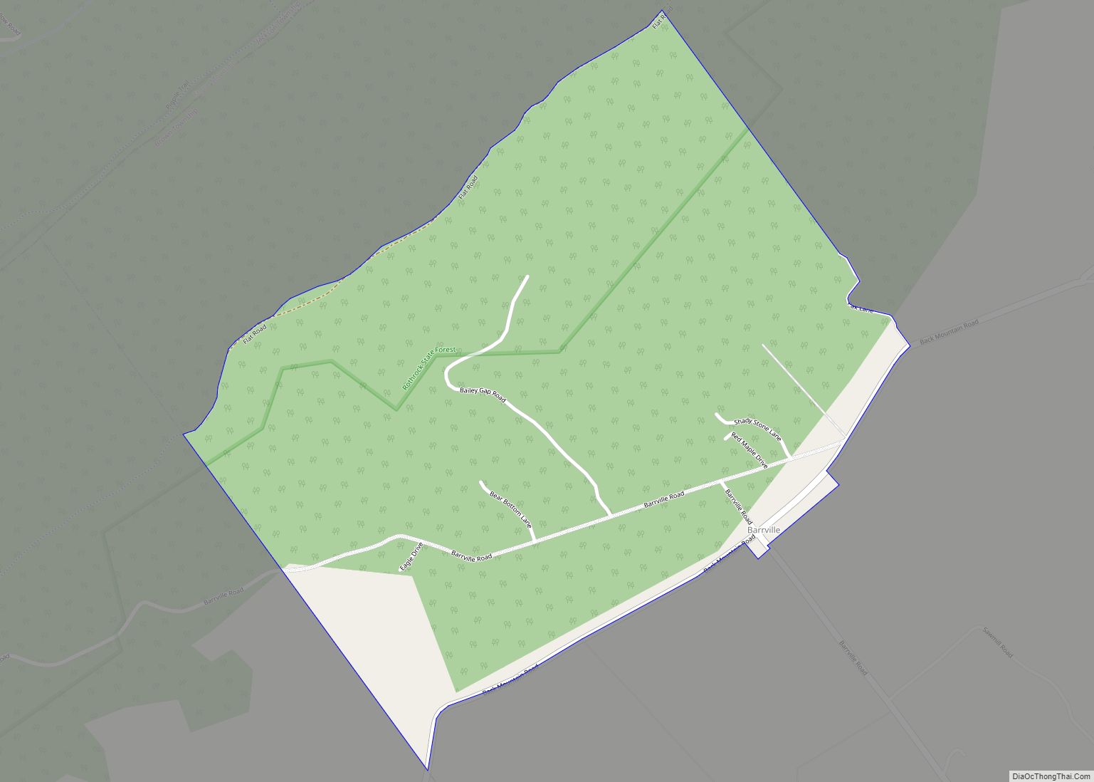
McVeytown is a borough in Mifflin County, Pennsylvania, United States, on the west bank of the Juniata River. Formerly known as Waynesburg, it was settled in 1762, laid out in 1795, and incorporated in 1833. The population was 344 at the 2020 census. The “Father of Pennsylvania Forestry”, Dr. Joseph Rothrock was born in McVeytown on April 9, 1839. He was largely responsible for the acquisition of the lands that became Pennsylvania state parks and forests, including Rothrock State Forest.
| Name: | McVeytown borough |
|---|---|
| LSAD Code: | 21 |
| LSAD Description: | borough (suffix) |
| State: | Pennsylvania |
| County: | Mifflin County |
| Incorporated: | 1833 |
| Total Area: | 0.11 sq mi (0.28 km²) |
| Land Area: | 0.10 sq mi (0.25 km²) |
| Water Area: | 0.01 sq mi (0.03 km²) |
| Total Population: | 344 |
| Population Density: | 3,621.05/sq mi (1,391.46/km²) |
| Area code: | 717 |
| FIPS code: | 4246400 |
Online Interactive Map
Click on ![]() to view map in "full screen" mode.
to view map in "full screen" mode.
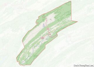
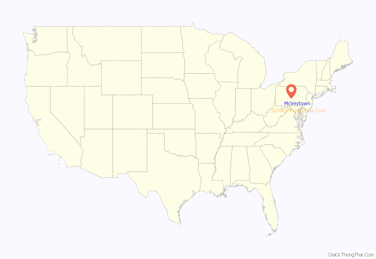
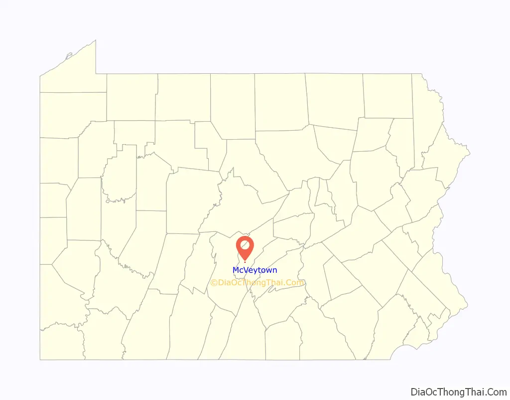
McVeytown location map. Where is McVeytown borough?
History
The settlement of what is now McVeytown was begun by Samuel Holliday in 1755, but it was only in 1762 that he settled in permanently and not until 1795 that the town of Waynesburg (present day McVeytown) was laid out. John McVey owned the land and was the founder of McVeytown.
Samuel, Adam, John and William Holliday, and his two sisters, Elizabeth and Nancy, the latter of whom would become the wife of Andrew Bratton, immigrated to the U.S. in 1745 and located on the “manor” of Lancaster County. They moved later to Conococheague in what is now Franklin County, and John removed to Path Valley, where he lived and died. Adam and William took up land at Hollidaysburg, and it was from him that the borough took its name. In early 1775, Samuel Holliday and Andrew Bratton, just after the New Purchase of the Indians, went out into that region in search for land to settle. After they made a decision on the land, they went to the land-office, at the time located in Philadelphia, and in 1775 received their warrants. Bratton was in what is now Bratton Township, and Holliday at what is now McVeytown and vicinity.
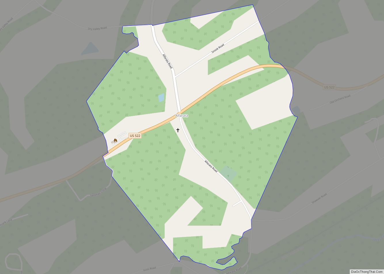
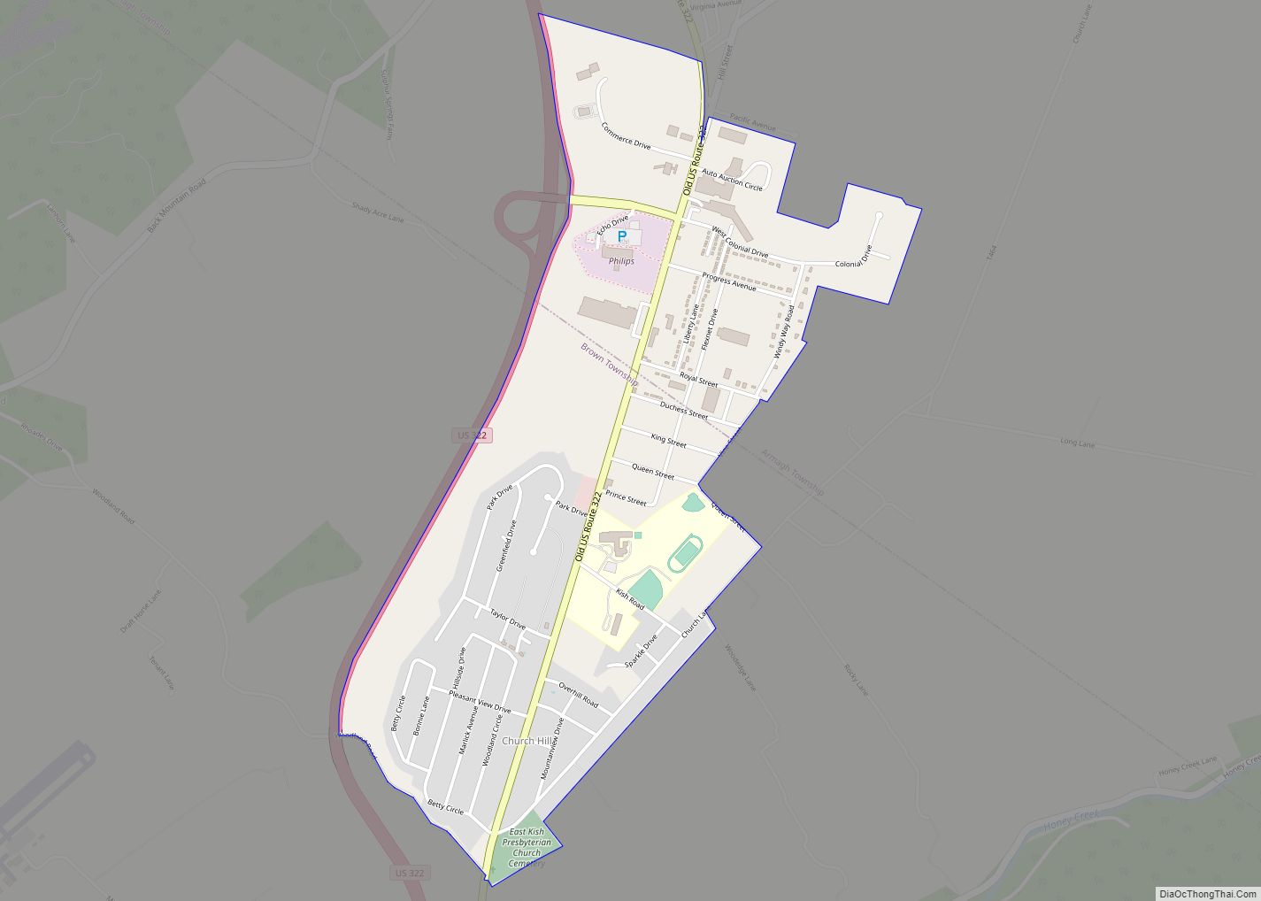
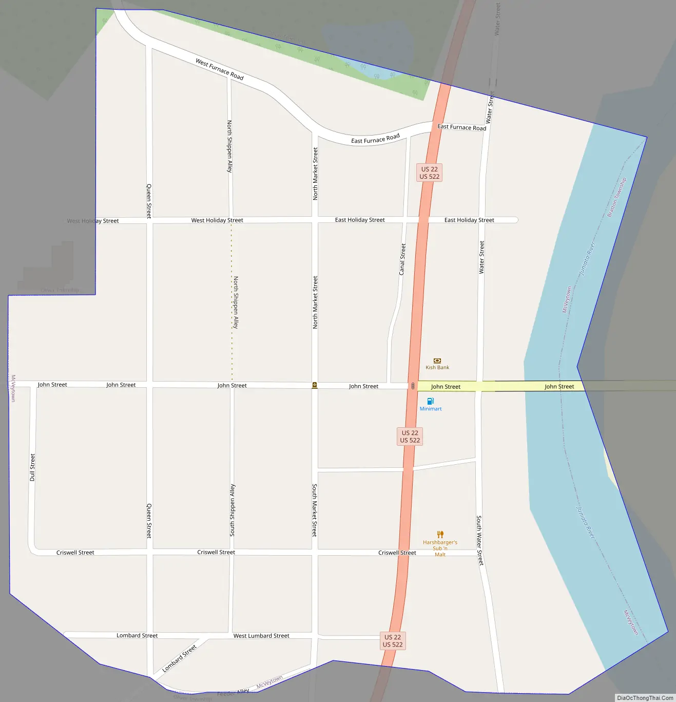
McVeytown Road Map
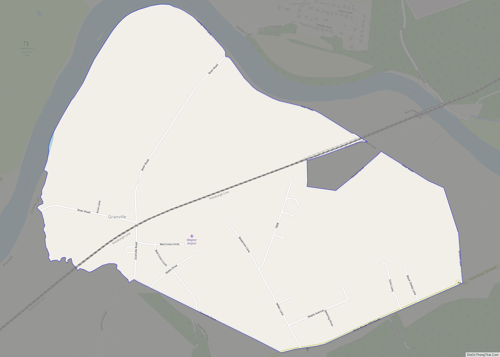
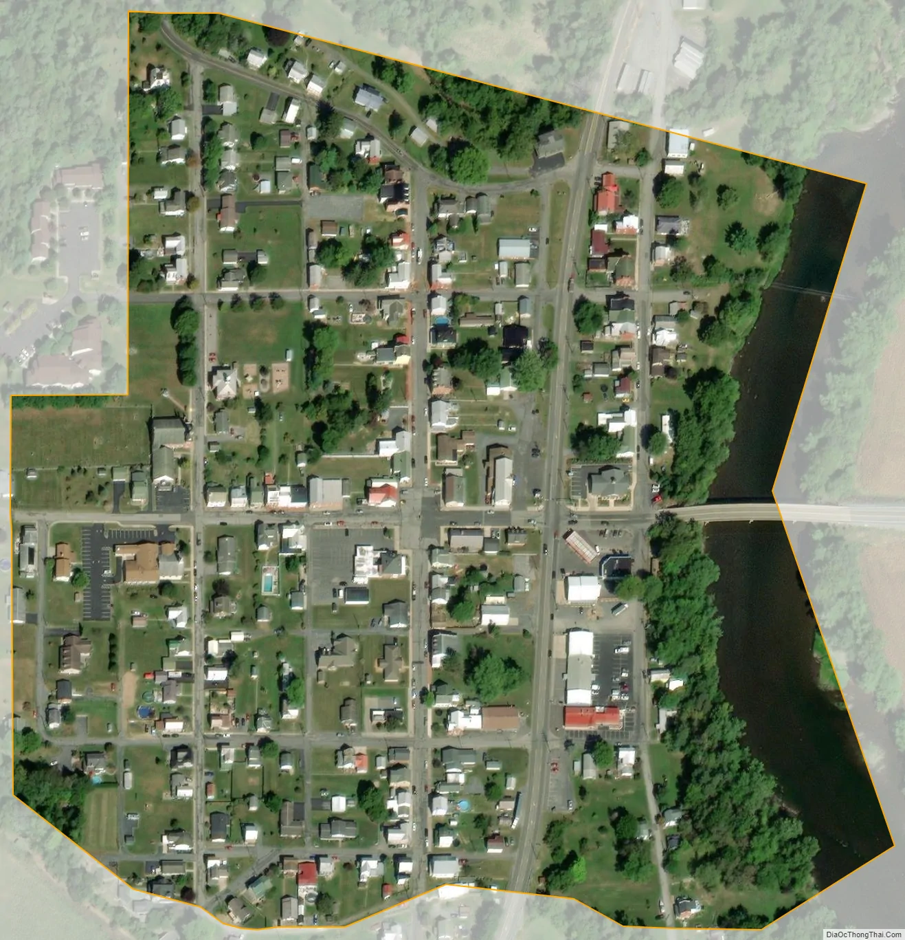
McVeytown city Satellite Map
Geography
McVeytown is located at 40°29′51″N 77°44′27″W / 40.49750°N 77.74083°W / 40.49750; -77.74083 (40.497584, -77.740796). The unincorporated settlement Mattawana Village lies across the Juniata River, on its east bank.
According to the United States Census Bureau, the borough has a total area of 0.1 square miles (0.26 km), of which 0.1 square miles (0.26 km) is land and 10.00% is water.
See also
Map of Pennsylvania State and its subdivision:- Adams
- Allegheny
- Armstrong
- Beaver
- Bedford
- Berks
- Blair
- Bradford
- Bucks
- Butler
- Cambria
- Cameron
- Carbon
- Centre
- Chester
- Clarion
- Clearfield
- Clinton
- Columbia
- Crawford
- Cumberland
- Dauphin
- Delaware
- Elk
- Erie
- Fayette
- Forest
- Franklin
- Fulton
- Greene
- Huntingdon
- Indiana
- Jefferson
- Juniata
- Lackawanna
- Lancaster
- Lawrence
- Lebanon
- Lehigh
- Luzerne
- Lycoming
- Mc Kean
- Mercer
- Mifflin
- Monroe
- Montgomery
- Montour
- Northampton
- Northumberland
- Perry
- Philadelphia
- Pike
- Potter
- Schuylkill
- Snyder
- Somerset
- Sullivan
- Susquehanna
- Tioga
- Union
- Venango
- Warren
- Washington
- Wayne
- Westmoreland
- Wyoming
- York
- Alabama
- Alaska
- Arizona
- Arkansas
- California
- Colorado
- Connecticut
- Delaware
- District of Columbia
- Florida
- Georgia
- Hawaii
- Idaho
- Illinois
- Indiana
- Iowa
- Kansas
- Kentucky
- Louisiana
- Maine
- Maryland
- Massachusetts
- Michigan
- Minnesota
- Mississippi
- Missouri
- Montana
- Nebraska
- Nevada
- New Hampshire
- New Jersey
- New Mexico
- New York
- North Carolina
- North Dakota
- Ohio
- Oklahoma
- Oregon
- Pennsylvania
- Rhode Island
- South Carolina
- South Dakota
- Tennessee
- Texas
- Utah
- Vermont
- Virginia
- Washington
- West Virginia
- Wisconsin
- Wyoming