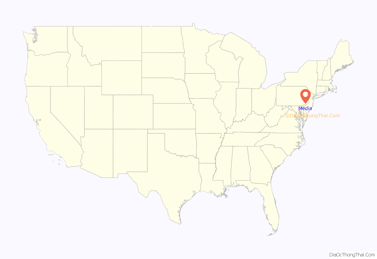
Media is a borough in and the county seat of Delaware County, Pennsylvania, United States. It is located about 13 miles (21 km) west of Philadelphia, the sixth most populous city in the nation with 1.6 million residents as 2020. It is part of the Delaware Valley (i.e. the Philadelphia metro area).
Media was incorporated in 1850 at the same time that it was named the county seat. As of the 2020 U.S. census, the population was 5,991.
| Name: | Media borough |
|---|---|
| LSAD Code: | 21 |
| LSAD Description: | borough (suffix) |
| State: | Pennsylvania |
| County: | Delaware County |
| Total Area: | 0.77 sq mi (1.98 km²) |
| Land Area: | 0.76 sq mi (1.98 km²) |
| Water Area: | 0.00 sq mi (0.01 km²) |
| Total Population: | 5,901 |
| Population Density: | 7,733.94/sq mi (2,987.11/km²) |
| ZIP code: | 19063, 19065, 19091 |
| FIPS code: | 4248480 |
| GNISfeature ID: | 1180858 |
| Website: | www.mediaborough.com |
Online Interactive Map
Click on ![]() to view map in "full screen" mode.
to view map in "full screen" mode.
Media location map. Where is Media borough?
History
The history of the area goes back to William Penn, but the area remained predominantly rural until the twentieth century. Land in the area was sold and settled soon after William Penn was named proprietor of the colony of Pennsylvania in 1681 by King Charles II of England. Peter and William Taylor bought the land where Media is now located, directly from Penn. At the time, the land was located in Chester County. Providence Township was organized in 1684, and later divided into Upper Providence and Nether Providence townships by 1690, even though they only had 40 taxable properties at the time. The current borough, formed in 1850, sits between the two townships.
In 1683, the Court of Chester County approved the construction of “Providence Great Road” (now Pennsylvania Route 252). The road, which runs north from Chester to within a few blocks of today’s downtown, is shown on a 1687 map along with the names of local landowners. It forms the eastern border of the borough.
Thomas Minshall, a Quaker, was an early Media resident, settling just outside the small village then known as “Providence”, along the Providence Great Road. The village then included a tailor shop, blacksmith shop, wheelwright shop, barn and other buildings.
Minshall bought 625 acres (253 ha) from William Penn and arrived in 1682. The Providence Friends Meeting was established at his house in February 1688, and a meetinghouse was later built on land he donated for the purpose. The original meetinghouse was built out of logs in 1699 or 1700, and the current building dates to 1814. A house on Minshall’s property, built c. 1750, still stands and was given to the citizens of the borough in 1975.
Chester County, Pennsylvania was divided in 1789, the eastern portion becoming Delaware County, Pennsylvania. The area in the center of the new county remained rural through 1850. On March 11, 1850, the Commonwealth of Pennsylvania by Special Act of Assembly incorporated the Borough of Media, and made the sale of malt and spirituous liquors unlawful within its borders. At the same time, the county seat of Delaware County was moved to Media from Chester. The borough was formed from four farms purchased by the county, totaling only 480 acres (190 ha). The borders of the borough have not changed since that time.
Streets were plotted in a rectangular grid around the location of the new courthouse, lots were sold at public auctions, and the construction of houses began. Sources agree that Minshall Painter, a descendant of Thomas Minshall, suggested the name “Media”, but do not agree on the reason. The name most likely comes from the borough’s “median” location in the direct center of Delaware County. In 1940, the Pennsylvania guide described Media by noting that “[t]he majority of its houses, almost all built since the Civil War, sit far back on shaded lawns and seem somewhat gloomy. The borough has a large and prosperous business section and a few small industrial plants; many townspeople work in Philadelphia or Chester.”
The John J. Tyler Arboretum occupies part of Thomas Minshall’s original 625 acres (253 ha). This farm and a nearby Village of Lima was used by the Underground Railroad. The land was donated to a public trust in 1944 by an eighth-generation descendant. The arboretum was started as a private collection by brothers Jacob and Minshall Painter. In 1825, they began systematically planting over 1,000 varieties of trees and shrubs. Over twenty of their original trees survive, including a giant sequoia.
Minshall Painter was also a leader of the Delaware County Institute of Science, which was formed on September 21, 1833, with just four other members: George Miller, John Miller, George Smith, M.D., and John Cassin. The institute was incorporated in 1836. About 1850, Painter gave the institute the land where its building currently stands at 11 Veterans Square, and the building was constructed in 1867.
In the second half of the 19th century, Media was a summer resort for well-to-do Philadelphians. The borough’s large vacation hotels included the Idlewild Hotel (1871) on Lincoln Street at Gayley Terrace, Chestnut Grove House or “The Colonial” (1860) on Orange Street, and Brooke Hall on Orange Street and Washington Avenue (now Baltimore Avenue). The Chestnut Grove was used for a year by nearby Swarthmore College due to a fire on its campus.
The West Chester and Philadelphia Railroad was built through Media on October 19, 1854. Electrified service was opened on December 2, 1928. Up to 50 trains passed through each day. The railroad became part of the Philadelphia, Wilmington and Baltimore Railroad and eventually the Penn Central. SEPTA took over operations in 1983. Woodrow Wilson spoke at the Media Station in 1912 during his first election campaign. Trolley transportation lines spread to and through Media in the 1890s and early 1900s.
The Media Theatre opened as a vaudeville house in 1927. The first ‘talkie’ film, The Jazz Singer, was shown there. It remained a popular cinema through the 1970s and 1980s. In 1994, the theater underwent a $1 million restoration by Walter Strine Sr. and re-opened as the ‘Media Theatre for the Performing Arts’. Shows produced there have included The Full Monty, Carousel and Miss Saigon.
On March 8, 1971, the Citizens’ Commission to Investigate the FBI raided an FBI “resident agency” in Media. They later released thousands of documents to major newspapers around the country. These documents revealed FBI tactics, like the recruitment of Boy Scouts as informants, and confirmed for the first time the existence of COINTELPRO, an FBI program to “expose, disrupt, misdirect, discredit, or otherwise neutralize” dissident groups in the United States.
In June 2006, Media became the first town in the United States to follow over 300 towns in Europe in attaining fair trade certification. To meet the criteria for certification, Media passed a council resolution in support of fair trade, served fair-trade coffee and tea in local government meetings and offices, ensured that a range of fair-trade products were available in local restaurants and businesses, raised popular support and provided media coverage for the fair-trade campaign, and convened a fair-trade steering committee to ensure continued commitment.
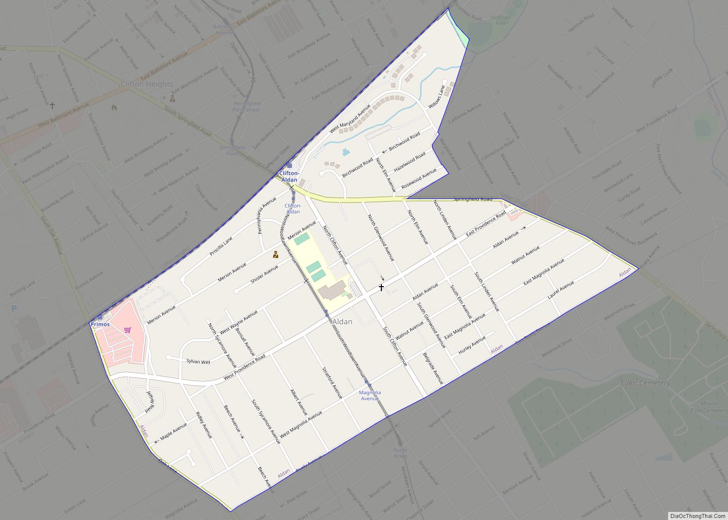
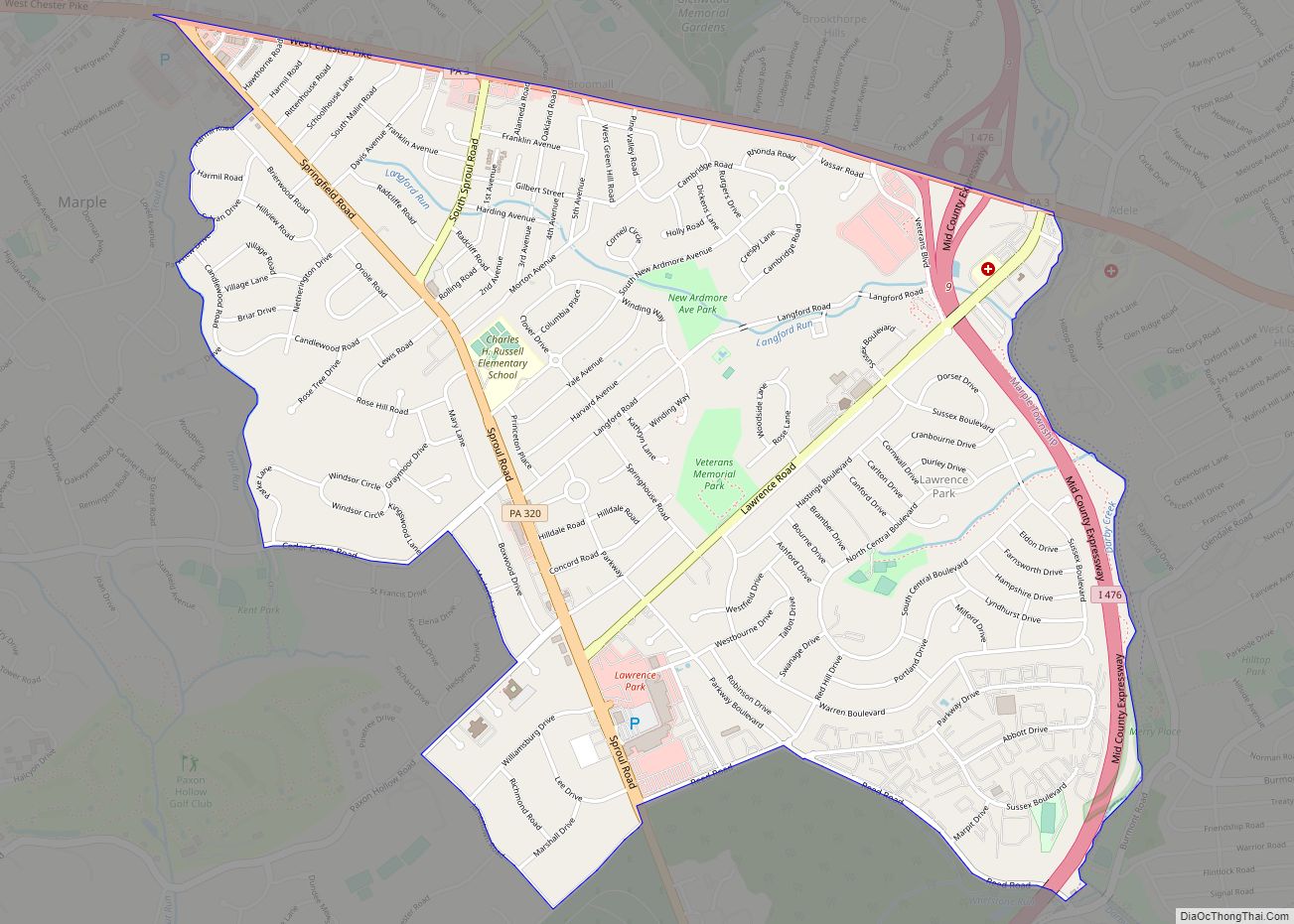
Media Road Map
Media city Satellite Map
Geography
Media is located in central Delaware County at 39°55′8″N 75°23′17″W / 39.91889°N 75.38806°W / 39.91889; -75.38806 (39.918761, -75.388127).
According to the United States Census Bureau, the borough has a total area of 0.77 square miles (2.0 km), of which 0.004 square miles (0.01 km), or 0.42%, is water. Media is situated on high ground (250 to 350 feet (76 to 107 m) above sea level) draining west to Ridley Creek, a south-flowing tributary of the Delaware River.
Media has a humid subtropical climate (Cfa) and the hardiness zone is 7a.
See also
Map of Pennsylvania State and its subdivision:- Adams
- Allegheny
- Armstrong
- Beaver
- Bedford
- Berks
- Blair
- Bradford
- Bucks
- Butler
- Cambria
- Cameron
- Carbon
- Centre
- Chester
- Clarion
- Clearfield
- Clinton
- Columbia
- Crawford
- Cumberland
- Dauphin
- Delaware
- Elk
- Erie
- Fayette
- Forest
- Franklin
- Fulton
- Greene
- Huntingdon
- Indiana
- Jefferson
- Juniata
- Lackawanna
- Lancaster
- Lawrence
- Lebanon
- Lehigh
- Luzerne
- Lycoming
- Mc Kean
- Mercer
- Mifflin
- Monroe
- Montgomery
- Montour
- Northampton
- Northumberland
- Perry
- Philadelphia
- Pike
- Potter
- Schuylkill
- Snyder
- Somerset
- Sullivan
- Susquehanna
- Tioga
- Union
- Venango
- Warren
- Washington
- Wayne
- Westmoreland
- Wyoming
- York
- Alabama
- Alaska
- Arizona
- Arkansas
- California
- Colorado
- Connecticut
- Delaware
- District of Columbia
- Florida
- Georgia
- Hawaii
- Idaho
- Illinois
- Indiana
- Iowa
- Kansas
- Kentucky
- Louisiana
- Maine
- Maryland
- Massachusetts
- Michigan
- Minnesota
- Mississippi
- Missouri
- Montana
- Nebraska
- Nevada
- New Hampshire
- New Jersey
- New Mexico
- New York
- North Carolina
- North Dakota
- Ohio
- Oklahoma
- Oregon
- Pennsylvania
- Rhode Island
- South Carolina
- South Dakota
- Tennessee
- Texas
- Utah
- Vermont
- Virginia
- Washington
- West Virginia
- Wisconsin
- Wyoming


