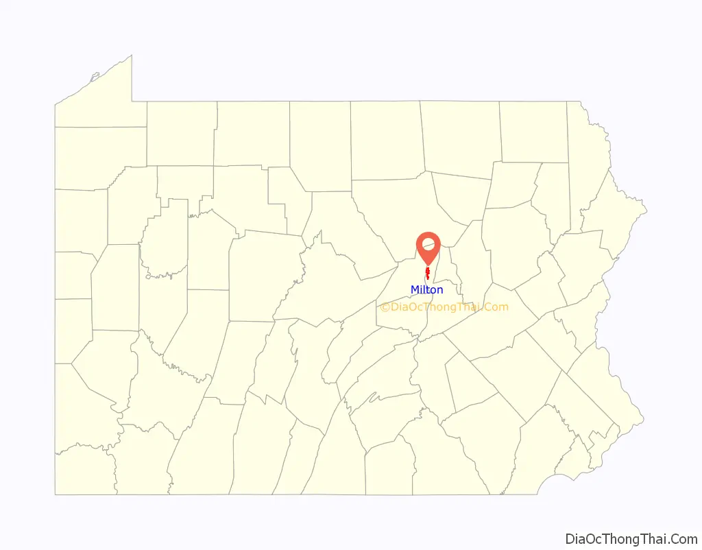
Milton is a borough in Northumberland County, Pennsylvania, United States, on the West Branch Susquehanna River, 50 miles (80 km) north of Harrisburg, located in Central Pennsylvania’s Susquehanna River Valley. It is approximately 10 miles upriver from the mouth of the West Branch Susquehanna River and about 30 miles downriver of Williamsport.
| Name: | Milton borough |
|---|---|
| LSAD Code: | 21 |
| LSAD Description: | borough (suffix) |
| State: | Pennsylvania |
| County: | Northumberland County |
| Total Area: | 3.77 sq mi (9.77 km²) |
| Land Area: | 3.47 sq mi (8.98 km²) |
| Water Area: | 0.30 sq mi (0.78 km²) |
| Total Population: | 6,609 |
| Population Density: | 1,905.16/sq mi (735.60/km²) |
| ZIP code: | 17847 |
| Area code: | 570 and 272 |
| FIPS code: | 4250016 |
| Website: | www.miltonpa.org |
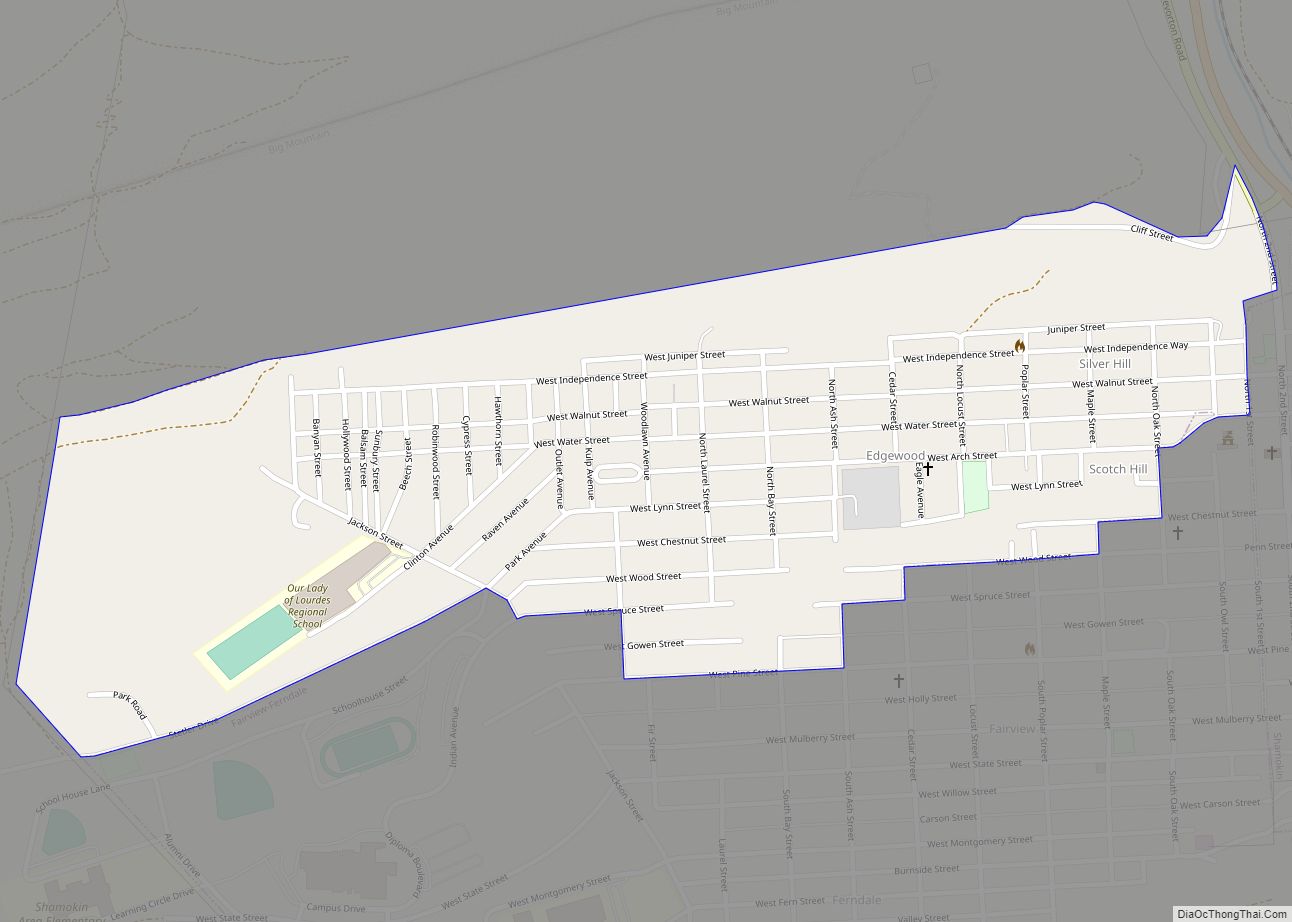
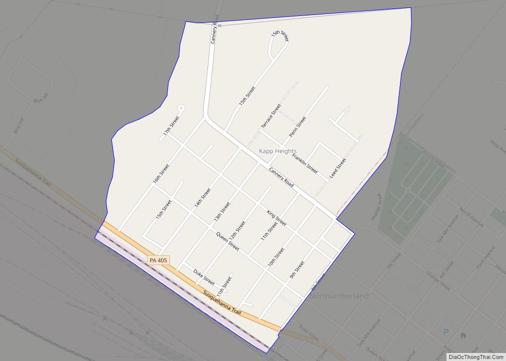
Online Interactive Map
Click on ![]() to view map in "full screen" mode.
to view map in "full screen" mode.
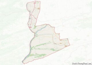
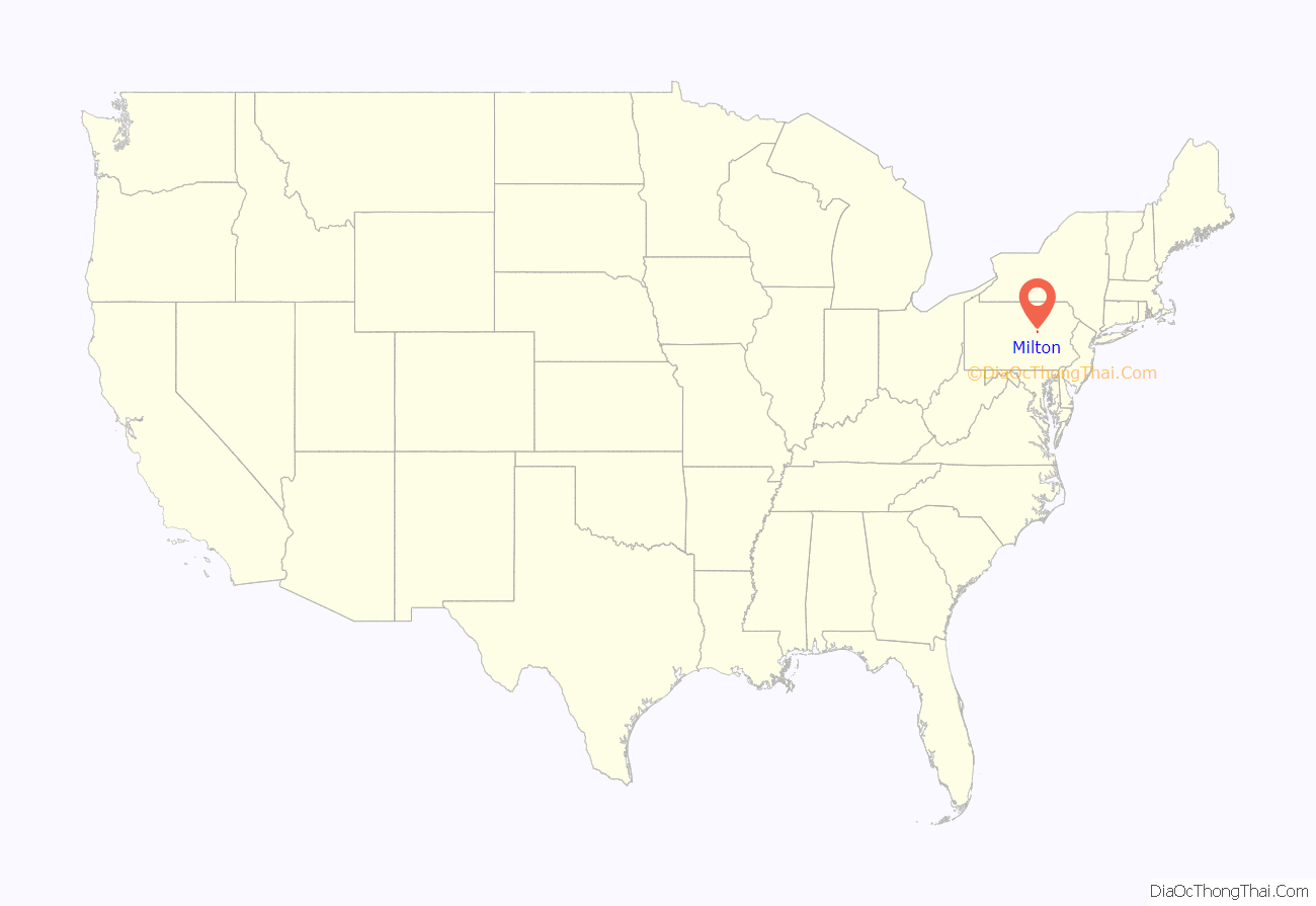
Milton location map. Where is Milton borough?
History
Settled in 1770, Milton was incorporated in 1817, and is governed by a charter that was revised in 1890. Formerly, its extensive manufacturing plants included car and woodworking machinery shops; rolling, flour, knitting, planing, and saw mills; washer, nut, and bolt works; and furniture, shoe, couch, nail, fly net, bamboo novelty, and paper-box factories. In 1900, 6,175 people lived in Milton. In 1940, 8,313 people lived there. The population was 6,650 at the 2000 census, and 7,042 at the 2010 census.
The Milton Historic District, Pennsylvania Canal and Limestone Run Aqueduct, Milton Armory, and Milton Freight Station are listed on the National Register of Historic Places.
Industry
At the turn of the 20th century, several industrial and manufacturing companies were located within the borough. The six principal industries were Samuel J. Shimer & Sons, the Milton Manufacturing Company, the American Car and Foundry Company, the F.A. Godcharles Company, the Sydney H. Souter Silk Company, and the West Branch Novelty Company. Many smaller businesses flourished in parallel with the large manufacturing companies during this early period, which made the borough an industrial center in the region at the time.
The original Chef Boyardee factory was located here, and now Conagra Foods operates a factory in the borough which produces Chef Boyardee products.
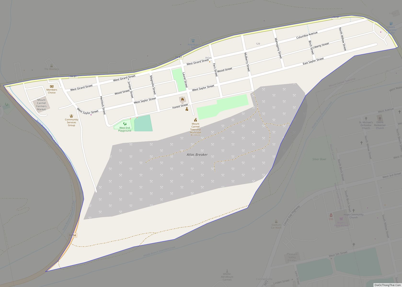
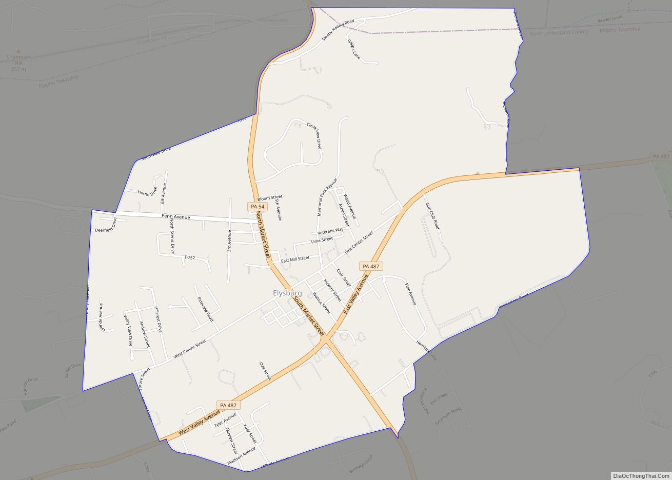
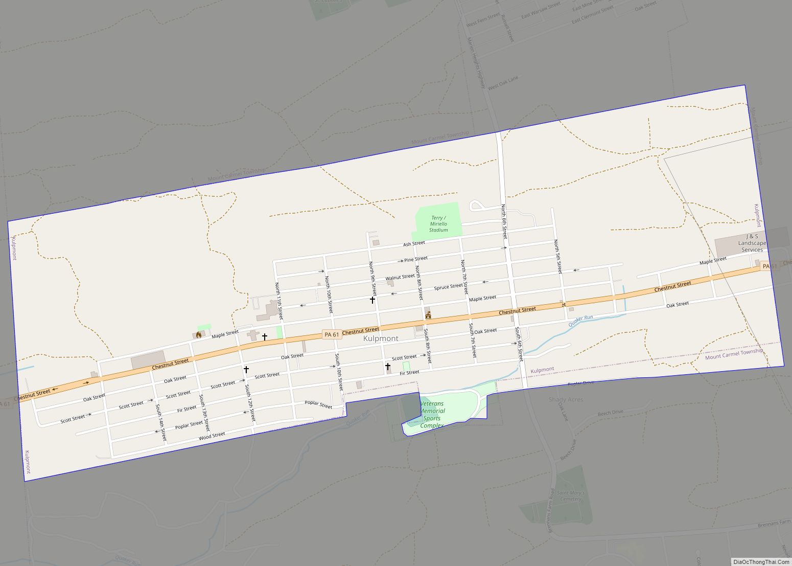
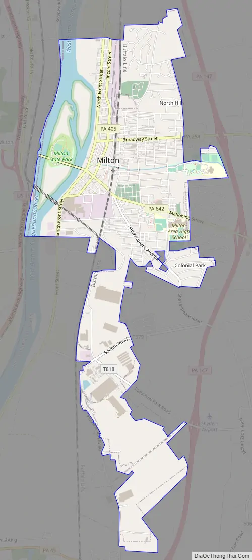
Milton Road Map
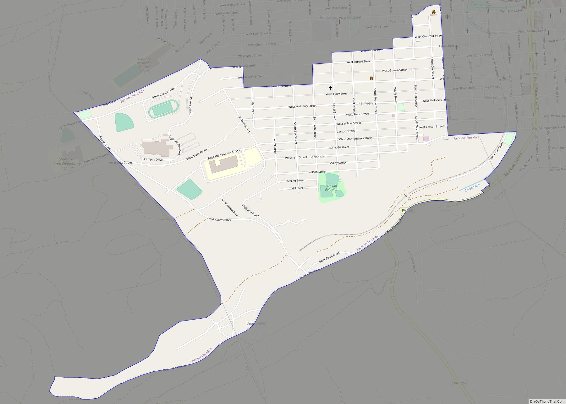
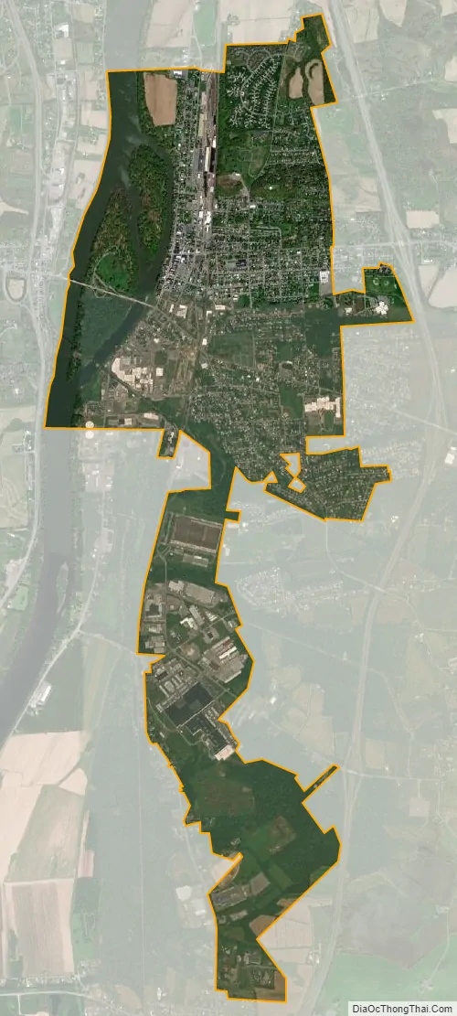
Milton city Satellite Map
Geography
Milton is located at 41°1′3″N 76°51′3″W / 41.01750°N 76.85083°W / 41.01750; -76.85083 (41.017413, -76.850758). According to the United States Census Bureau, the borough has a total area of 3.8 square miles (9.8 km), of which, 3.5 square miles (9.1 km) is land and 0.3 square miles (0.78 km) (7.73%) is water.
Milton’s terrain is mostly flat, with some scattered hills. The borough is home to the Milton State Park, and is served by state routes 254, 405 and 642.
See also
Map of Pennsylvania State and its subdivision:- Adams
- Allegheny
- Armstrong
- Beaver
- Bedford
- Berks
- Blair
- Bradford
- Bucks
- Butler
- Cambria
- Cameron
- Carbon
- Centre
- Chester
- Clarion
- Clearfield
- Clinton
- Columbia
- Crawford
- Cumberland
- Dauphin
- Delaware
- Elk
- Erie
- Fayette
- Forest
- Franklin
- Fulton
- Greene
- Huntingdon
- Indiana
- Jefferson
- Juniata
- Lackawanna
- Lancaster
- Lawrence
- Lebanon
- Lehigh
- Luzerne
- Lycoming
- Mc Kean
- Mercer
- Mifflin
- Monroe
- Montgomery
- Montour
- Northampton
- Northumberland
- Perry
- Philadelphia
- Pike
- Potter
- Schuylkill
- Snyder
- Somerset
- Sullivan
- Susquehanna
- Tioga
- Union
- Venango
- Warren
- Washington
- Wayne
- Westmoreland
- Wyoming
- York
- Alabama
- Alaska
- Arizona
- Arkansas
- California
- Colorado
- Connecticut
- Delaware
- District of Columbia
- Florida
- Georgia
- Hawaii
- Idaho
- Illinois
- Indiana
- Iowa
- Kansas
- Kentucky
- Louisiana
- Maine
- Maryland
- Massachusetts
- Michigan
- Minnesota
- Mississippi
- Missouri
- Montana
- Nebraska
- Nevada
- New Hampshire
- New Jersey
- New Mexico
- New York
- North Carolina
- North Dakota
- Ohio
- Oklahoma
- Oregon
- Pennsylvania
- Rhode Island
- South Carolina
- South Dakota
- Tennessee
- Texas
- Utah
- Vermont
- Virginia
- Washington
- West Virginia
- Wisconsin
- Wyoming