Moosic (/ˈmuːzɪk/ MOO-zik) is a borough in Lackawanna County, Pennsylvania, United States, 3 miles (5 km) south of downtown Scranton and 10 miles (16 km) northeast of downtown Wilkes-Barre, on the Lackawanna River.
Moosic is in a former coal-mining region. A few older industries existed at one time, including the manufacturing of canvas gloves and silk products. The population was 5,972 at the 2020 census.
| Name: | Moosic borough |
|---|---|
| LSAD Code: | 21 |
| LSAD Description: | borough (suffix) |
| State: | Pennsylvania |
| County: | Lackawanna County |
| Incorporated: | 1898 |
| Elevation: | 817 ft (249 m) |
| Total Area: | 6.53 sq mi (16.91 km²) |
| Land Area: | 6.48 sq mi (16.78 km²) |
| Water Area: | 0.05 sq mi (0.13 km²) |
| Total Population: | 5,959 |
| Population Density: | 919.46/sq mi (355.03/km²) |
| FIPS code: | 4250880 |
| GNISfeature ID: | 1215324 |
| Website: | moosicborough.com |
Online Interactive Map
Click on ![]() to view map in "full screen" mode.
to view map in "full screen" mode.
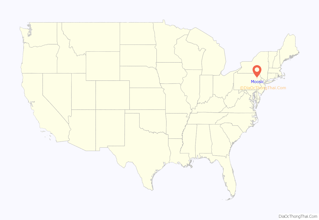
Moosic location map. Where is Moosic borough?
History
The name “Moosic” probably derives from the Unami language of the Lenape people, meaning “elk place”. The Lenape, a Native American people, are the earliest-known inhabitants of Moosic. The borough was incorporated on December 9, 1898. Before incorporation, the villages of Moosic and Greenwood had been a part of Lackawanna Township. From 1886 to 1987, Moosic was the site of Rocky Glen Park, an amusement park. The former grounds are now a Pennsylvania state historical marker.
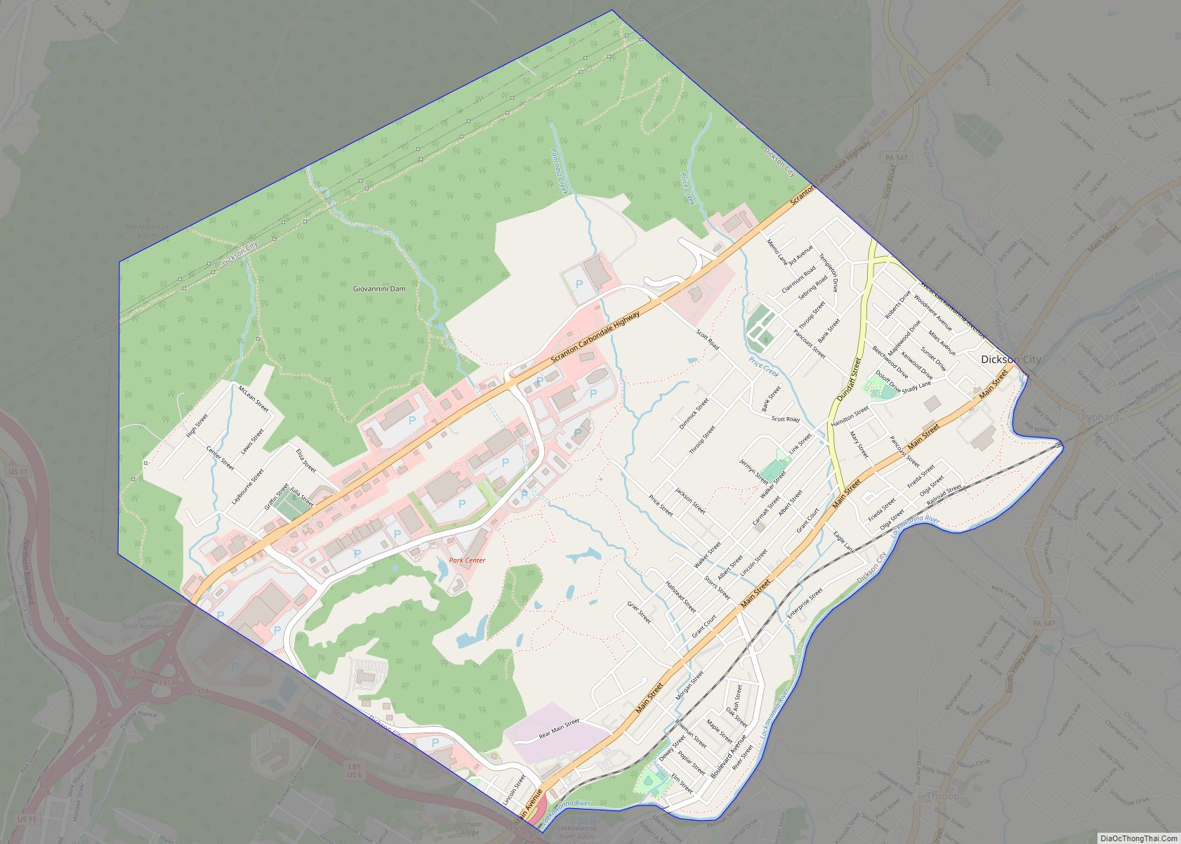
Moosic Road Map
Moosic city Satellite Map
Geography
Moosic is located in the Wyoming Valley of northeastern Pennsylvania. In terms of physiography, Moosic is part of the Ridge and Valley province of the Appalachian Mountains. Moosic is located at an elevation of 817 feet (249 m) above sea level. The major body of water flowing through the borough is the Lackawanna River, part of the Upper Susquehanna-Lackawanna Watershed. Moosic has a total area of 6.6 square miles (17 km), of which 6.5 square miles (17 km) is land and 0.1 square miles (0.26 km) (1.52%) is water. Moosic has a humid continental climate (Köppen Dfa) with four distinct seasons. Summers are humid and warm, with an occasional heatwave. Winters are cold and snowy.
See also
Map of Pennsylvania State and its subdivision:- Adams
- Allegheny
- Armstrong
- Beaver
- Bedford
- Berks
- Blair
- Bradford
- Bucks
- Butler
- Cambria
- Cameron
- Carbon
- Centre
- Chester
- Clarion
- Clearfield
- Clinton
- Columbia
- Crawford
- Cumberland
- Dauphin
- Delaware
- Elk
- Erie
- Fayette
- Forest
- Franklin
- Fulton
- Greene
- Huntingdon
- Indiana
- Jefferson
- Juniata
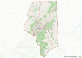
- Lackawanna
- Lancaster
- Lawrence
- Lebanon
- Lehigh
- Luzerne
- Lycoming
- Mc Kean
- Mercer
- Mifflin
- Monroe
- Montgomery
- Montour
- Northampton
- Northumberland
- Perry
- Philadelphia
- Pike
- Potter
- Schuylkill
- Snyder
- Somerset
- Sullivan
- Susquehanna
- Tioga
- Union
- Venango
- Warren
- Washington
- Wayne
- Westmoreland
- Wyoming
- York
- Alabama
- Alaska
- Arizona
- Arkansas
- California
- Colorado
- Connecticut
- Delaware
- District of Columbia
- Florida
- Georgia
- Hawaii
- Idaho
- Illinois
- Indiana
- Iowa
- Kansas
- Kentucky
- Louisiana
- Maine
- Maryland
- Massachusetts
- Michigan
- Minnesota
- Mississippi
- Missouri
- Montana
- Nebraska
- Nevada
- New Hampshire
- New Jersey
- New Mexico
- New York
- North Carolina
- North Dakota
- Ohio
- Oklahoma
- Oregon
- Pennsylvania
- Rhode Island
- South Carolina
- South Dakota
- Tennessee
- Texas
- Utah
- Vermont
- Virginia
- Washington
- West Virginia
- Wisconsin
- Wyoming
