Mount Cobb is an unincorporated community and census-designated place (CDP) in Lackawanna County, Pennsylvania, United States. The population was 1,799 at the 2010 census.
| Name: | Mount Cobb CDP |
|---|---|
| LSAD Code: | 57 |
| LSAD Description: | CDP (suffix) |
| State: | Pennsylvania |
| County: | Lackawanna County |
| Elevation: | 1,655 ft (504 m) |
| Total Area: | 7.30 sq mi (18.90 km²) |
| Land Area: | 7.14 sq mi (18.49 km²) |
| Water Area: | 0.16 sq mi (0.41 km²) |
| Total Population: | 1,763 |
| Population Density: | 246.88/sq mi (95.33/km²) |
| ZIP code: | 18436 |
| Area code: | 570 |
| FIPS code: | 4251536 |
Online Interactive Map
Click on ![]() to view map in "full screen" mode.
to view map in "full screen" mode.
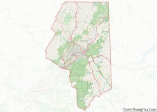
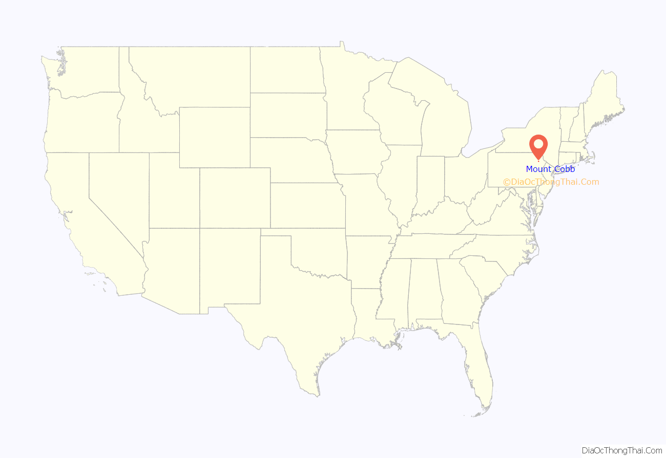
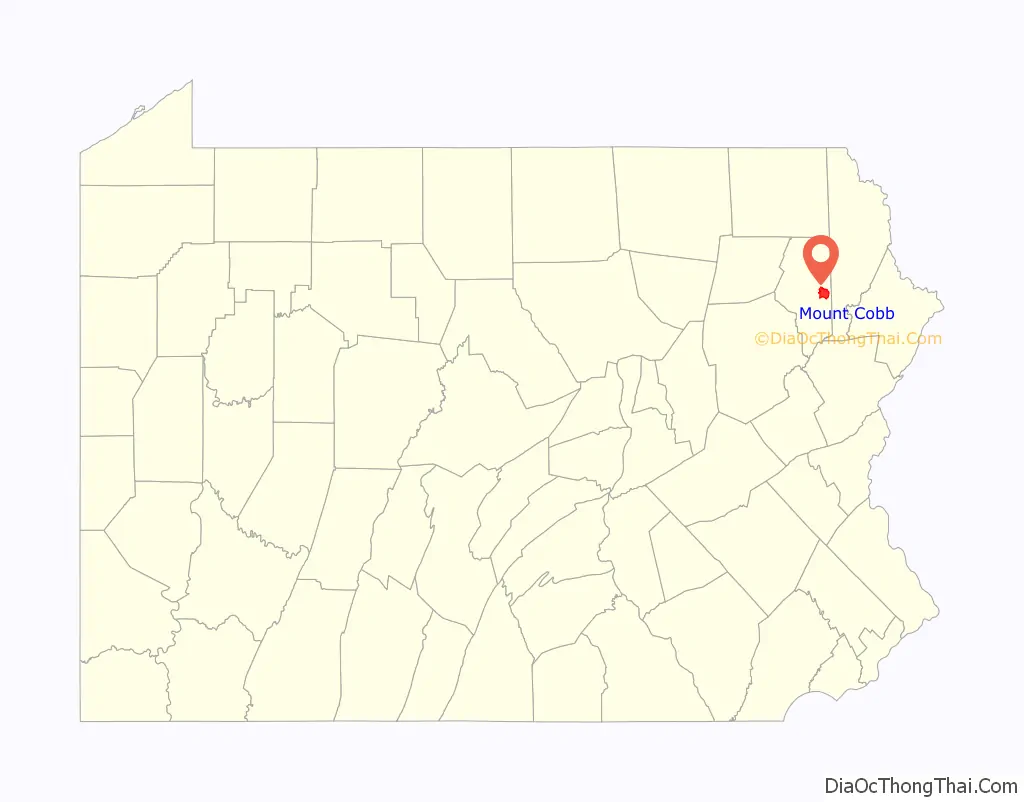
Mount Cobb location map. Where is Mount Cobb CDP?
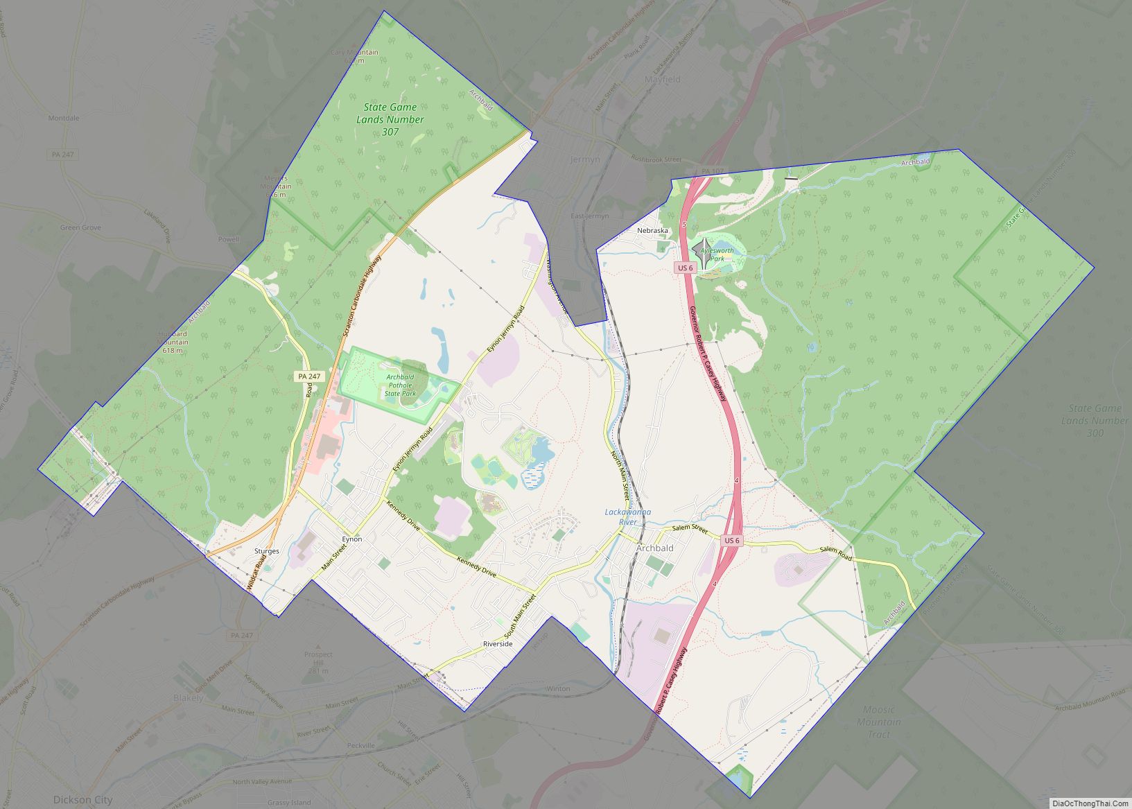
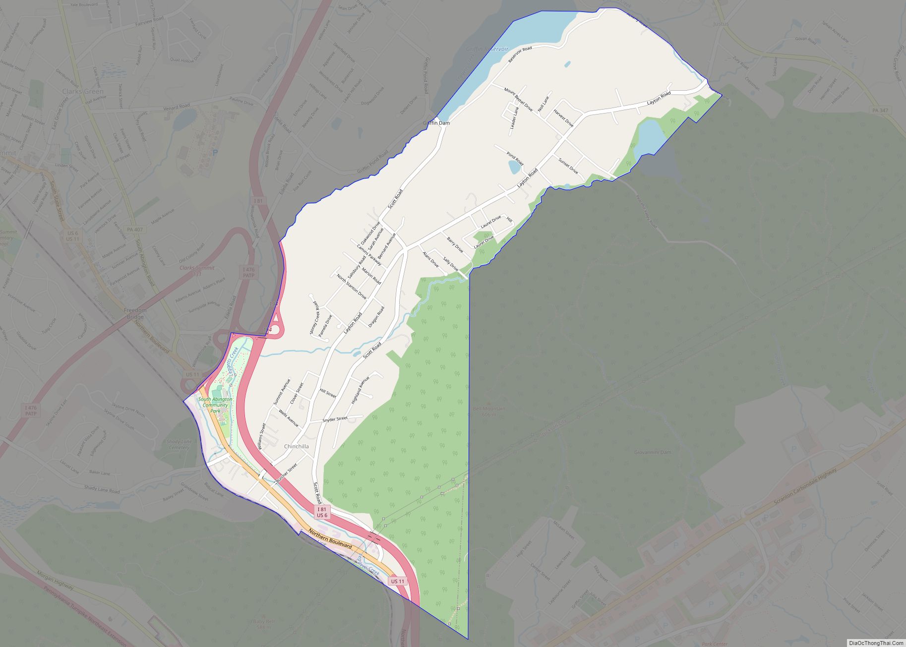
Mount Cobb Road Map
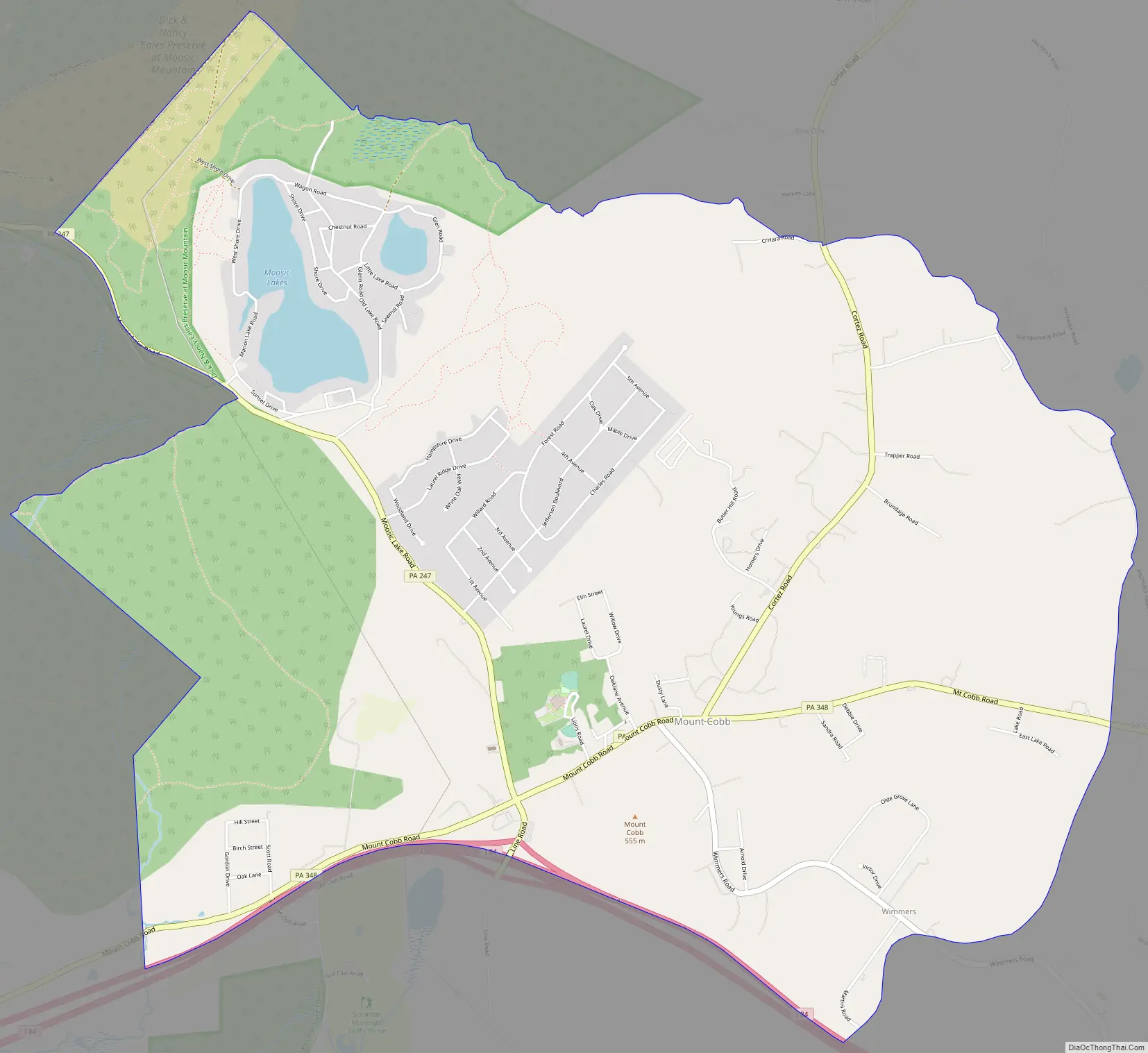
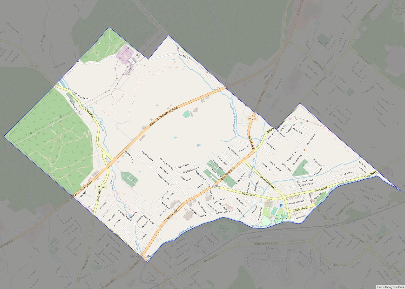
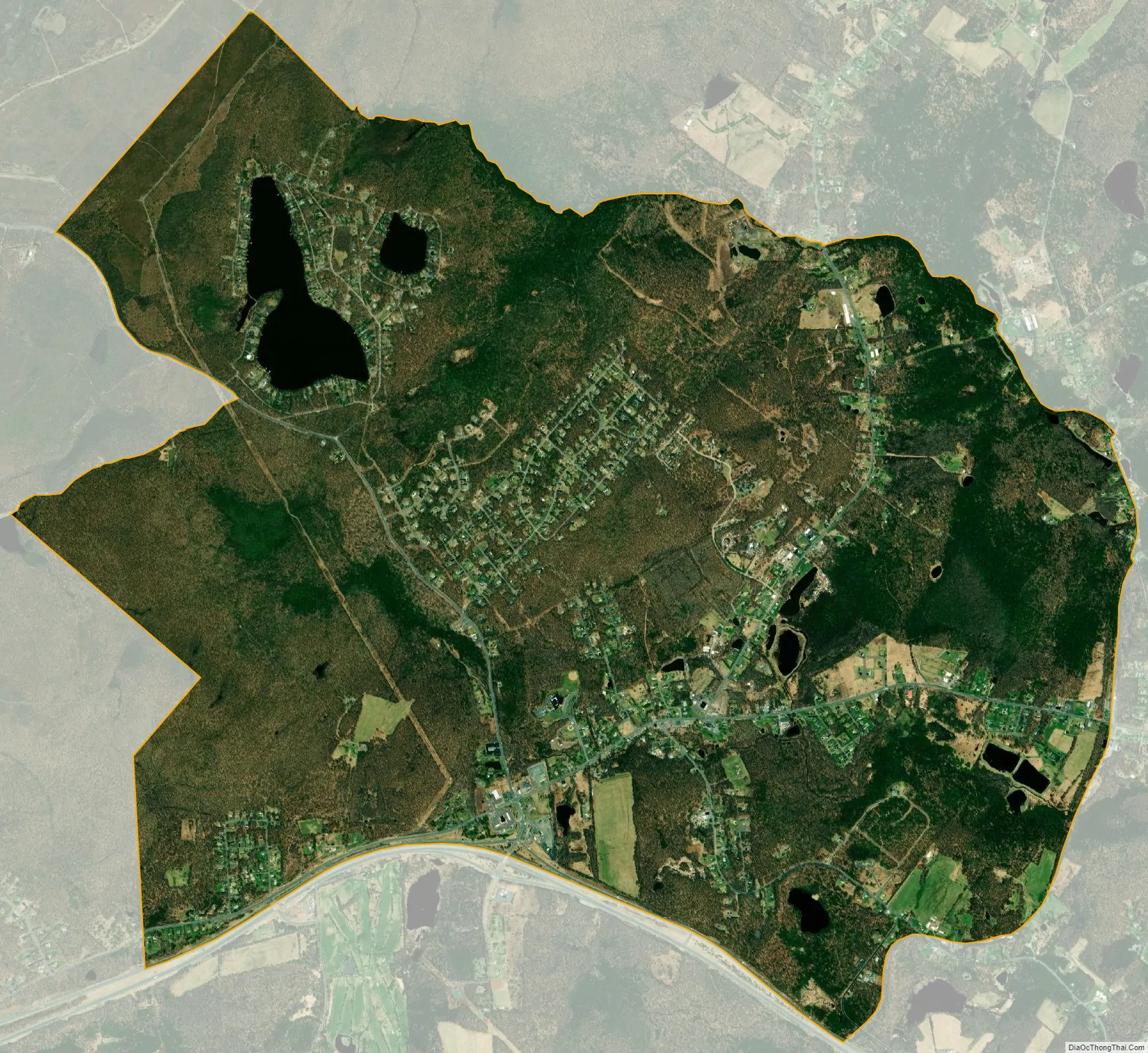
Mount Cobb city Satellite Map
Geography
Mount Cobb is located in eastern Lackawanna County at 41°25′28″N 75°30′19″W / 41.42444°N 75.50528°W / 41.42444; -75.50528 (41.424422, -75.505257), in the southern part of Jefferson Township. Interstate 84 forms the southern edge of the community, with access from Exit 8 (Pennsylvania Route 247). I-84 leads east 46 miles (74 km) to Port Jervis, New York, and west via Interstate 81 12 miles (19 km) to Scranton. Pennsylvania Route 348 (Mount Cobb Road) passes through the center of the community, leading east 5 miles (8 km) to Hamlin and west 3.5 miles (5.6 km) to Pennsylvania Route 435 in Roaring Brook Township. PA 247 leads northwest from Mount Cobb 6 miles (10 km) to Jessup.
According to the United States Census Bureau, the CDP has a total area of 7.3 square miles (18.9 km), of which 7.1 square miles (18.5 km) are land and 0.2 square miles (0.4 km), or 2.16%, are water. Most of the community drains east to the West Branch of Wallenpaupack Creek, a tributary of the Lackawaxen River and part of the Delaware River watershed. The western part of Mount Cobb drains west via Rock Bottom Creek to Roaring Brook, a west-flowing tributary of the Lackawanna River and part of the Susquehanna River watershed.
See also
Map of Pennsylvania State and its subdivision:- Adams
- Allegheny
- Armstrong
- Beaver
- Bedford
- Berks
- Blair
- Bradford
- Bucks
- Butler
- Cambria
- Cameron
- Carbon
- Centre
- Chester
- Clarion
- Clearfield
- Clinton
- Columbia
- Crawford
- Cumberland
- Dauphin
- Delaware
- Elk
- Erie
- Fayette
- Forest
- Franklin
- Fulton
- Greene
- Huntingdon
- Indiana
- Jefferson
- Juniata
- Lackawanna
- Lancaster
- Lawrence
- Lebanon
- Lehigh
- Luzerne
- Lycoming
- Mc Kean
- Mercer
- Mifflin
- Monroe
- Montgomery
- Montour
- Northampton
- Northumberland
- Perry
- Philadelphia
- Pike
- Potter
- Schuylkill
- Snyder
- Somerset
- Sullivan
- Susquehanna
- Tioga
- Union
- Venango
- Warren
- Washington
- Wayne
- Westmoreland
- Wyoming
- York
- Alabama
- Alaska
- Arizona
- Arkansas
- California
- Colorado
- Connecticut
- Delaware
- District of Columbia
- Florida
- Georgia
- Hawaii
- Idaho
- Illinois
- Indiana
- Iowa
- Kansas
- Kentucky
- Louisiana
- Maine
- Maryland
- Massachusetts
- Michigan
- Minnesota
- Mississippi
- Missouri
- Montana
- Nebraska
- Nevada
- New Hampshire
- New Jersey
- New Mexico
- New York
- North Carolina
- North Dakota
- Ohio
- Oklahoma
- Oregon
- Pennsylvania
- Rhode Island
- South Carolina
- South Dakota
- Tennessee
- Texas
- Utah
- Vermont
- Virginia
- Washington
- West Virginia
- Wisconsin
- Wyoming