Mount Holly Springs is a borough in Cumberland County, Pennsylvania, United States. The borough is located 25 miles north of Gettysburg. The population was 2,030 at the 2010 census. It is part of the Harrisburg–Carlisle metropolitan statistical area.
| Name: | Mount Holly Springs borough |
|---|---|
| LSAD Code: | 21 |
| LSAD Description: | borough (suffix) |
| State: | Pennsylvania |
| County: | Cumberland County |
| Elevation: | 558 ft (170 m) |
| Total Area: | 1.45 sq mi (3.76 km²) |
| Land Area: | 1.36 sq mi (3.52 km²) |
| Water Area: | 0.09 sq mi (0.24 km²) |
| Total Population: | 1,995 |
| Population Density: | 1,467.99/sq mi (566.68/km²) |
| ZIP code: | 17065 |
| Area code: | 717 and 223 |
| FIPS code: | 4251592 |
| Website: | mhsboro.org |
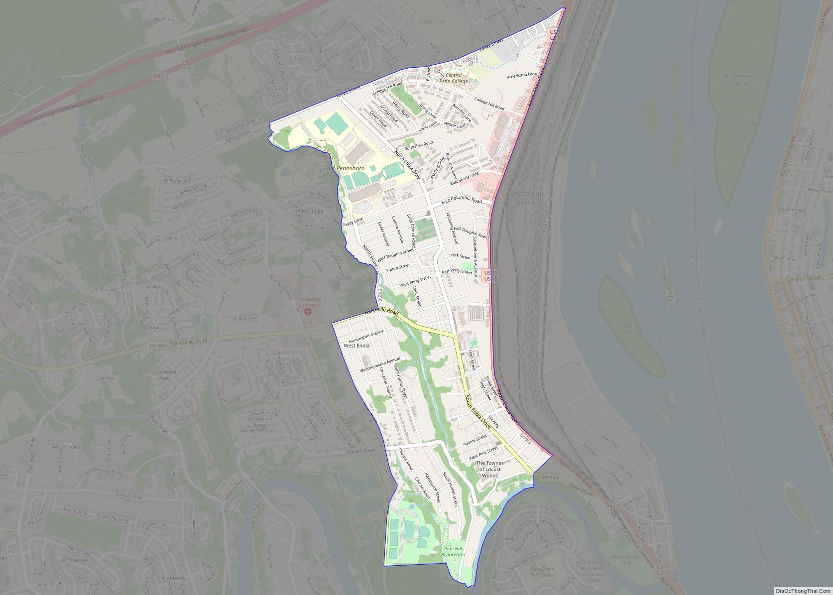
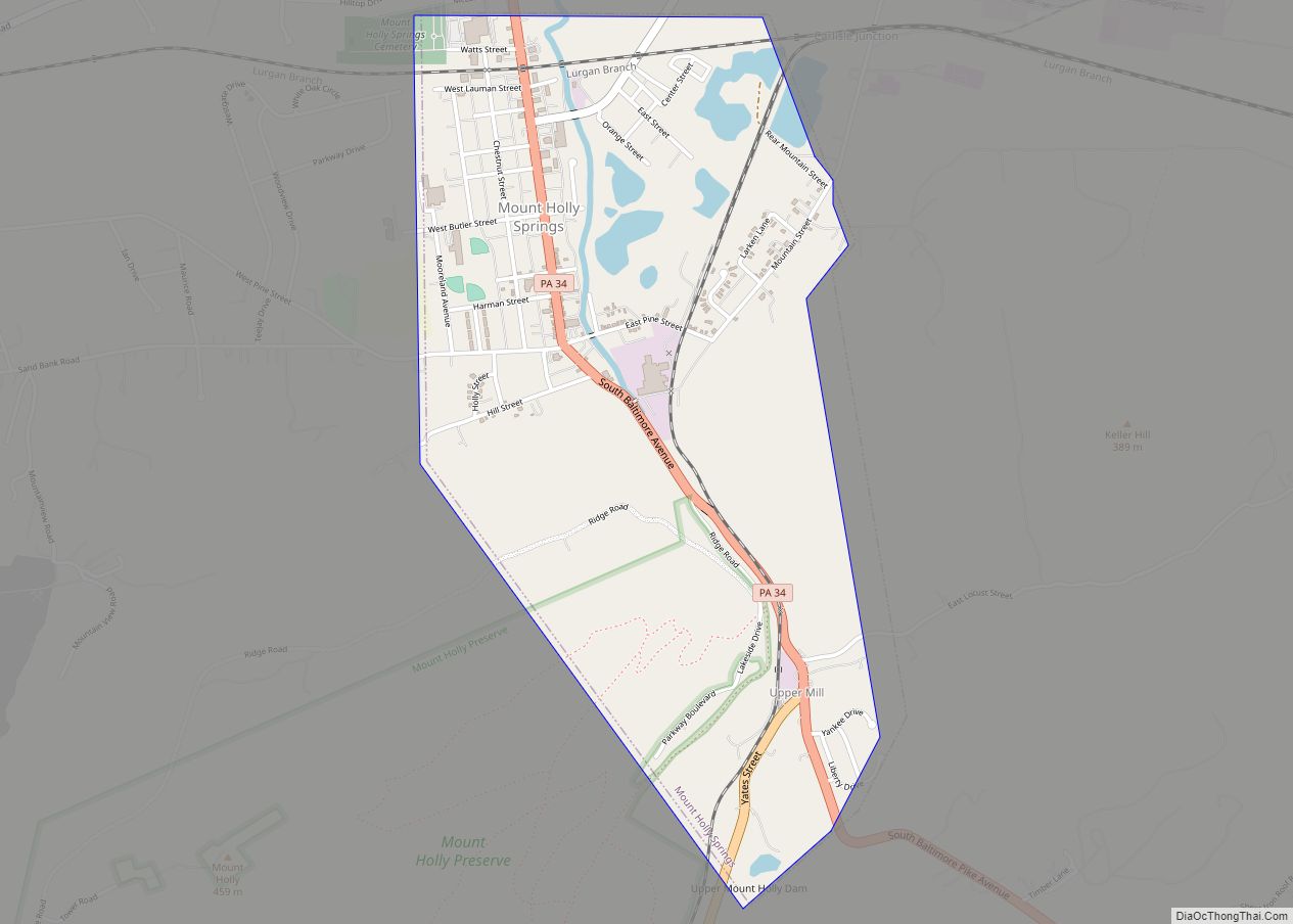
Online Interactive Map
Click on ![]() to view map in "full screen" mode.
to view map in "full screen" mode.
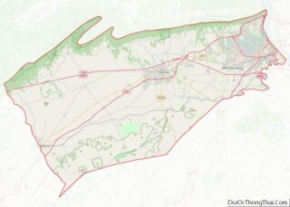
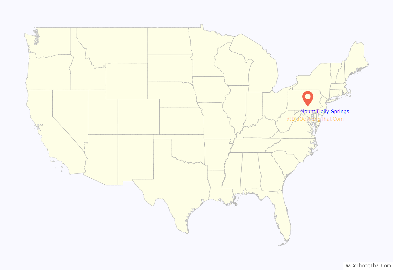
Mount Holly Springs location map. Where is Mount Holly Springs borough?
History
The Pennsylvania Guide, compiled by the Writers’ Program of the Works Progress Administration, briefly described Mt. Holly Springs in 1940, writing that it was:
In the early 1900s, Mount Holly Springs was home to Mount Holly Park, a popular summer resort. The park closed in 1918.
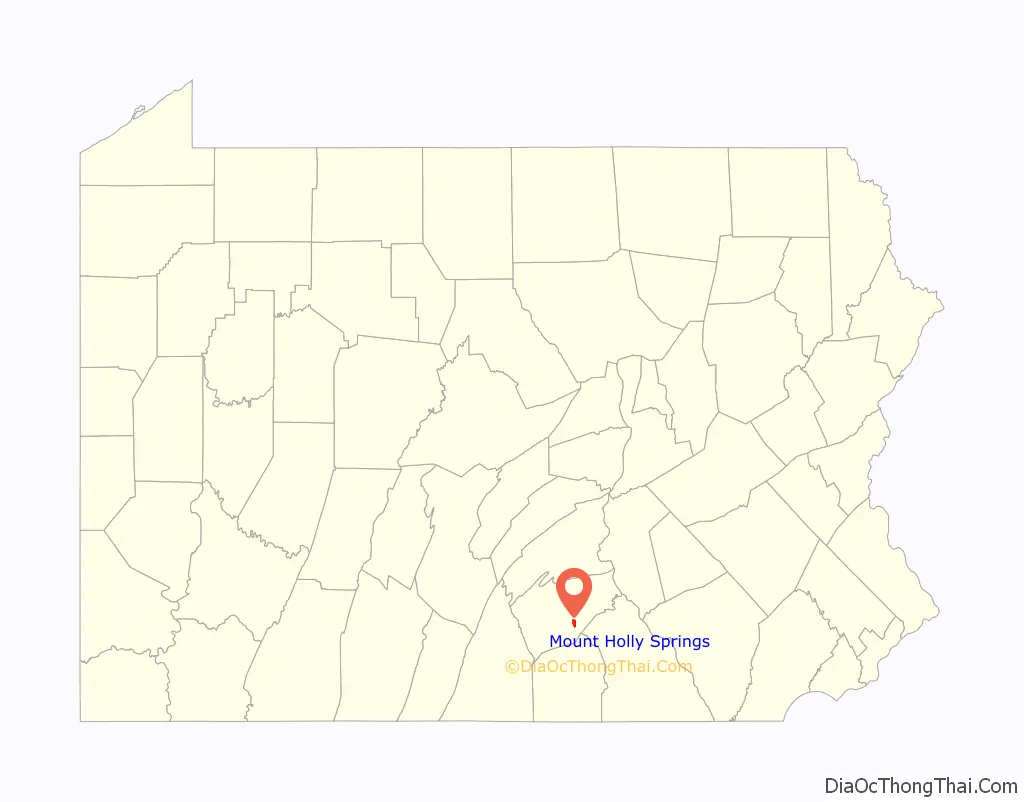
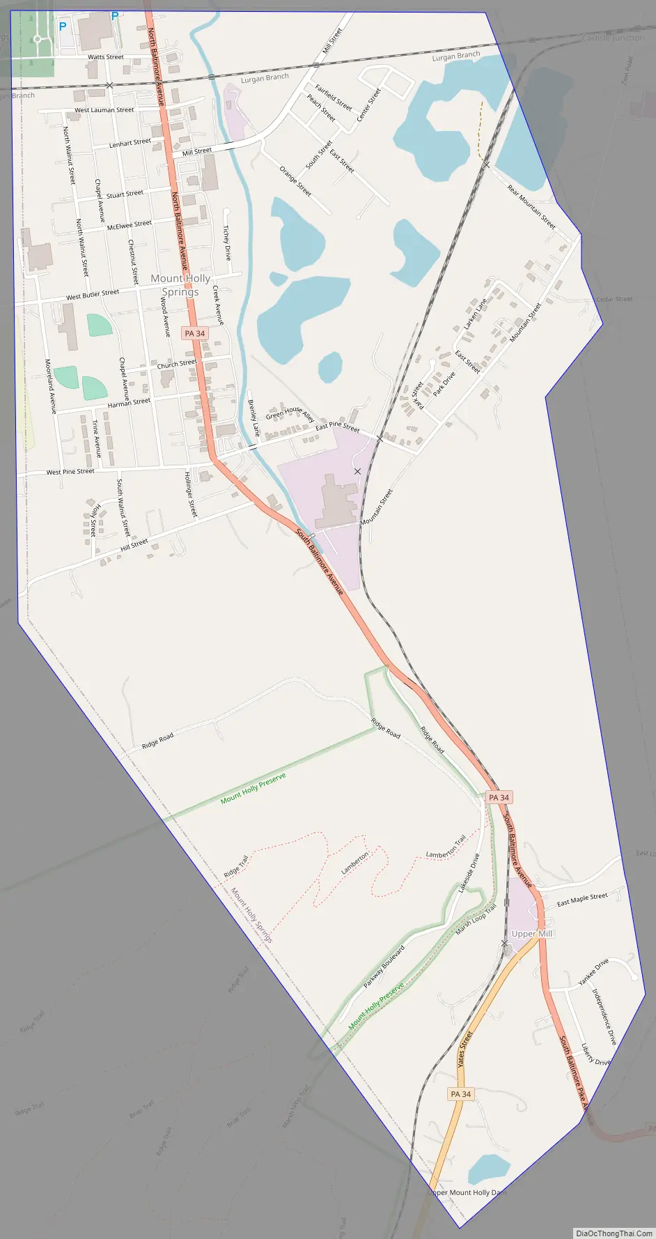
Mount Holly Springs Road Map
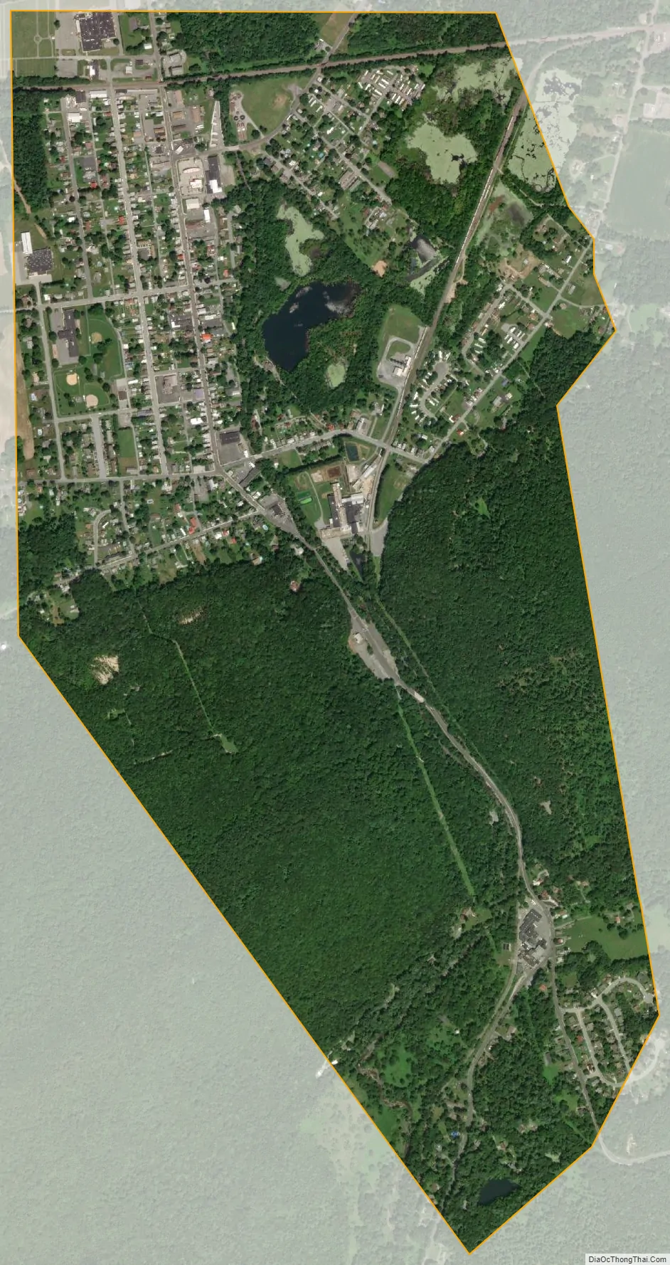
Mount Holly Springs city Satellite Map
Geography
Mount Holly Springs is located in south-central Cumberland County at 40°6′58″N 77°11′12″W / 40.11611°N 77.18667°W / 40.11611; -77.18667 (40.116063, -77.186751), at the northern foot of the South Mountain range. Mountain Creek runs through the center of the borough, exiting the mountains via a water gap between Mount Holly to the west and Keller Hill to the east. Mountain Creek is a tributary of Yellow Breeches Creek, which flows east to the Susquehanna River. The borough limits extend south through the water gap to the Upper Mill area.
According to the U.S. Census Bureau, the borough has a total area of 1.5 square miles (3.8 km), of which 1.4 square miles (3.5 km) is land and 0.1 square miles (0.2 km), or 6.45%, is water. The borough is surrounded by South Middleton Township but is a separate municipality.
See also
Map of Pennsylvania State and its subdivision:- Adams
- Allegheny
- Armstrong
- Beaver
- Bedford
- Berks
- Blair
- Bradford
- Bucks
- Butler
- Cambria
- Cameron
- Carbon
- Centre
- Chester
- Clarion
- Clearfield
- Clinton
- Columbia
- Crawford
- Cumberland
- Dauphin
- Delaware
- Elk
- Erie
- Fayette
- Forest
- Franklin
- Fulton
- Greene
- Huntingdon
- Indiana
- Jefferson
- Juniata
- Lackawanna
- Lancaster
- Lawrence
- Lebanon
- Lehigh
- Luzerne
- Lycoming
- Mc Kean
- Mercer
- Mifflin
- Monroe
- Montgomery
- Montour
- Northampton
- Northumberland
- Perry
- Philadelphia
- Pike
- Potter
- Schuylkill
- Snyder
- Somerset
- Sullivan
- Susquehanna
- Tioga
- Union
- Venango
- Warren
- Washington
- Wayne
- Westmoreland
- Wyoming
- York
- Alabama
- Alaska
- Arizona
- Arkansas
- California
- Colorado
- Connecticut
- Delaware
- District of Columbia
- Florida
- Georgia
- Hawaii
- Idaho
- Illinois
- Indiana
- Iowa
- Kansas
- Kentucky
- Louisiana
- Maine
- Maryland
- Massachusetts
- Michigan
- Minnesota
- Mississippi
- Missouri
- Montana
- Nebraska
- Nevada
- New Hampshire
- New Jersey
- New Mexico
- New York
- North Carolina
- North Dakota
- Ohio
- Oklahoma
- Oregon
- Pennsylvania
- Rhode Island
- South Carolina
- South Dakota
- Tennessee
- Texas
- Utah
- Vermont
- Virginia
- Washington
- West Virginia
- Wisconsin
- Wyoming