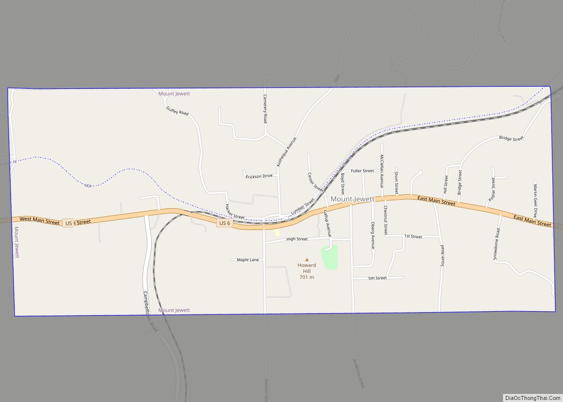
Mount Jewett is a borough in McKean County, Pennsylvania, United States. The population was 849 at the 2020 census. The students of the borough attend school in the Kane Area School District, even though the borough is surrounded by Hamlin Township—belonging to neighboring Smethport Area School District. Mount Jewett is near to the Kinzua Bridge State Park, which includes the Kinzua Bridge Sky Walk and Kinzua Viaduct. The current mayor is Brianna Howard.
| Name: | Mount Jewett borough |
|---|---|
| LSAD Code: | 21 |
| LSAD Description: | borough (suffix) |
| State: | Pennsylvania |
| County: | McKean County |
| Incorporated: | 1893 |
| Elevation: | 2,240 ft (680 m) |
| Total Area: | 2.42 sq mi (6.28 km²) |
| Land Area: | 2.40 sq mi (6.23 km²) |
| Water Area: | 0.02 sq mi (0.05 km²) |
| Total Population: | 858 |
| Population Density: | 356.76/sq mi (137.74/km²) |
| Area code: | 814 |
| FIPS code: | 4251632 |
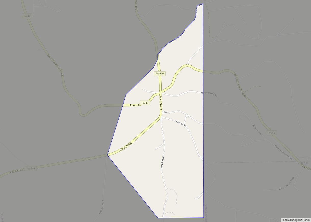
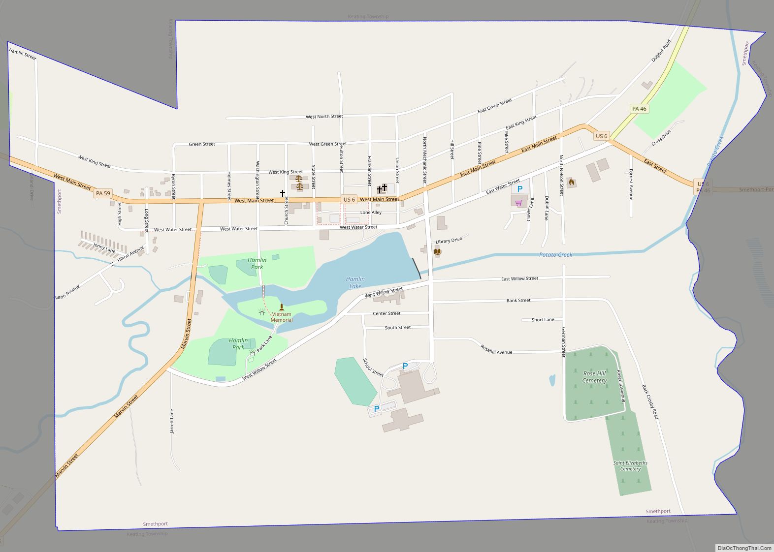
Online Interactive Map
Click on ![]() to view map in "full screen" mode.
to view map in "full screen" mode.
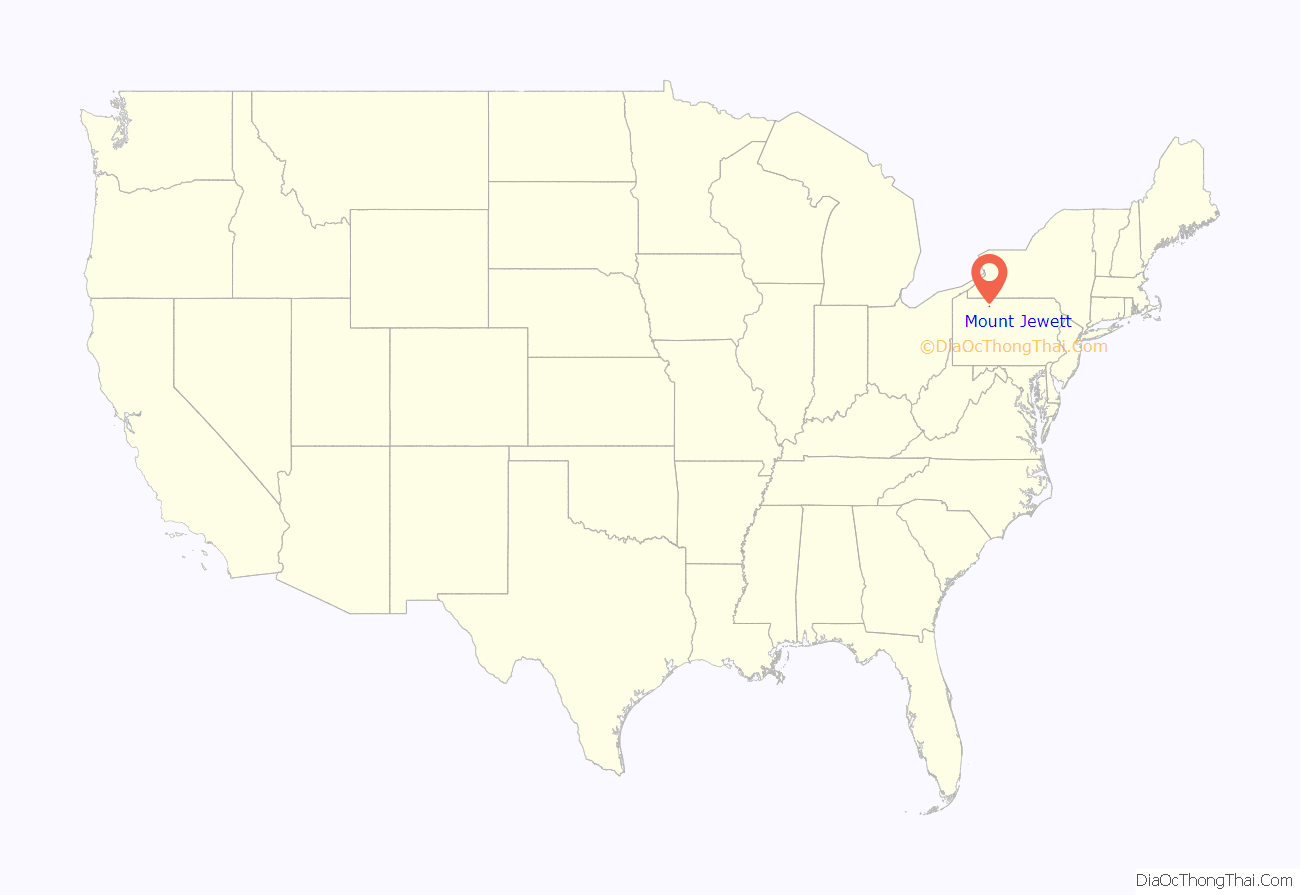
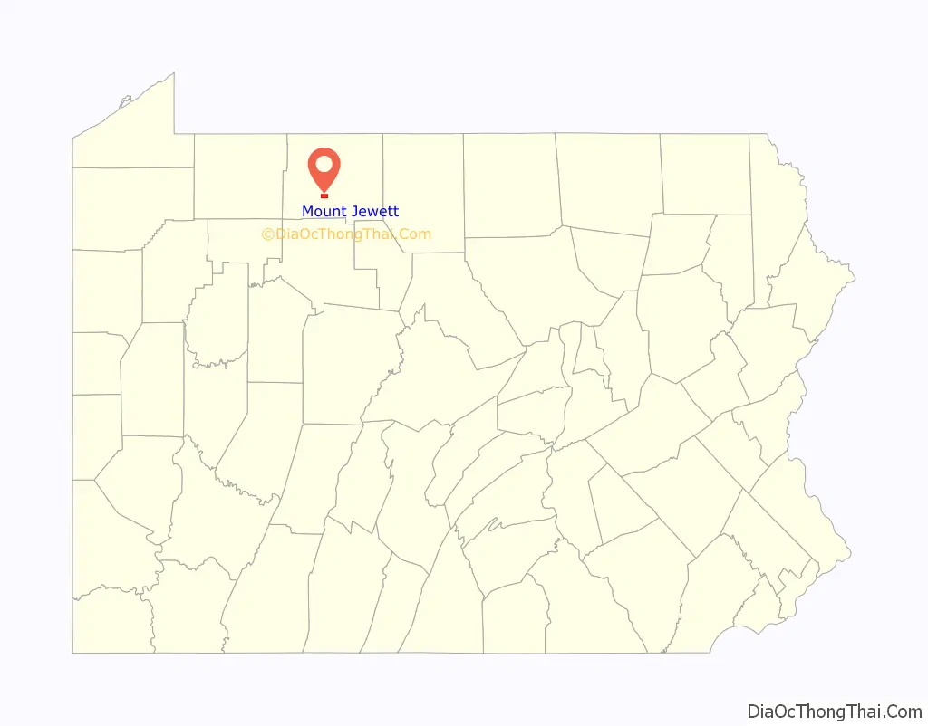
Mount Jewett location map. Where is Mount Jewett borough?
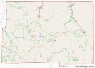
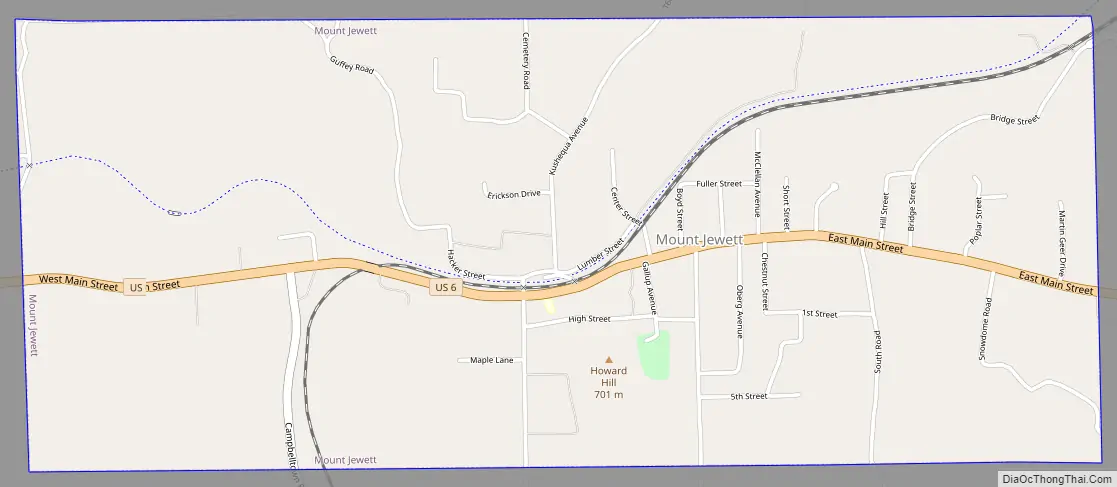
Mount Jewett Road Map
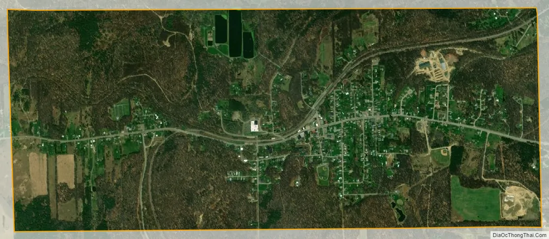
Mount Jewett city Satellite Map
Geography
Mount Jewett is located at 41°43′29″N 78°38′37″W / 41.72472°N 78.64361°W / 41.72472; -78.64361 (41.724788, -78.643702).
According to the United States Census Bureau, the borough has a total area of 2.4 square miles (6.2 km), all land.
Mount Jewett is tied with Callimont for the title of being the fifth-highest, in elevation, of towns in Pennsylvania, at 2240 feet.
Climate
This climatic region is typified by large seasonal temperature differences, with warm to hot (and often humid) summers and cold (sometimes severely cold) winters. According to the Köppen Climate Classification system, Mount Jewett has a humid continental climate, abbreviated “Dfb” on climate maps.
See also
Map of Pennsylvania State and its subdivision:- Adams
- Allegheny
- Armstrong
- Beaver
- Bedford
- Berks
- Blair
- Bradford
- Bucks
- Butler
- Cambria
- Cameron
- Carbon
- Centre
- Chester
- Clarion
- Clearfield
- Clinton
- Columbia
- Crawford
- Cumberland
- Dauphin
- Delaware
- Elk
- Erie
- Fayette
- Forest
- Franklin
- Fulton
- Greene
- Huntingdon
- Indiana
- Jefferson
- Juniata
- Lackawanna
- Lancaster
- Lawrence
- Lebanon
- Lehigh
- Luzerne
- Lycoming
- Mc Kean
- Mercer
- Mifflin
- Monroe
- Montgomery
- Montour
- Northampton
- Northumberland
- Perry
- Philadelphia
- Pike
- Potter
- Schuylkill
- Snyder
- Somerset
- Sullivan
- Susquehanna
- Tioga
- Union
- Venango
- Warren
- Washington
- Wayne
- Westmoreland
- Wyoming
- York
- Alabama
- Alaska
- Arizona
- Arkansas
- California
- Colorado
- Connecticut
- Delaware
- District of Columbia
- Florida
- Georgia
- Hawaii
- Idaho
- Illinois
- Indiana
- Iowa
- Kansas
- Kentucky
- Louisiana
- Maine
- Maryland
- Massachusetts
- Michigan
- Minnesota
- Mississippi
- Missouri
- Montana
- Nebraska
- Nevada
- New Hampshire
- New Jersey
- New Mexico
- New York
- North Carolina
- North Dakota
- Ohio
- Oklahoma
- Oregon
- Pennsylvania
- Rhode Island
- South Carolina
- South Dakota
- Tennessee
- Texas
- Utah
- Vermont
- Virginia
- Washington
- West Virginia
- Wisconsin
- Wyoming