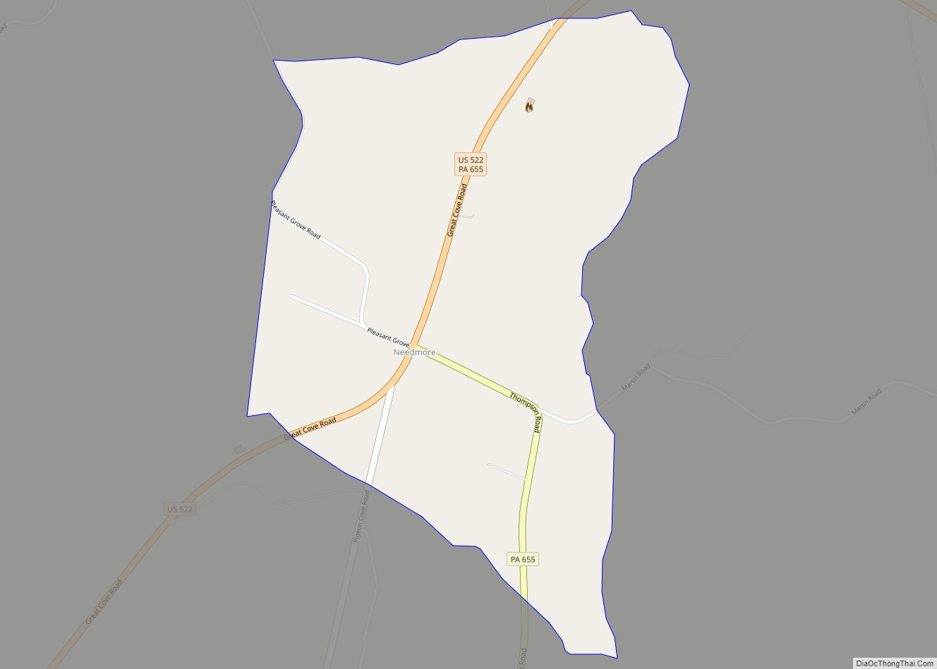
Needmore is an unincorporated community and census-designated place (CDP) in Fulton County, Pennsylvania, United States. As of the 2010 census, the population was 170. Needmore was created on April 27, 1954.
| Name: | Needmore CDP |
|---|---|
| LSAD Code: | 57 |
| LSAD Description: | CDP (suffix) |
| State: | Pennsylvania |
| County: | Fulton County |
| Elevation: | 623 ft (190 m) |
| Total Area: | 0.45 sq mi (1.18 km²) |
| Land Area: | 0.45 sq mi (1.18 km²) |
| Water Area: | 0.00 sq mi (0.00 km²) |
| Total Population: | 153 |
| Population Density: | 337.00/sq mi (130.01/km²) |
| ZIP code: | 17238 |
| Area code: | 717 |
| FIPS code: | 4252872 |
Online Interactive Map
Click on ![]() to view map in "full screen" mode.
to view map in "full screen" mode.
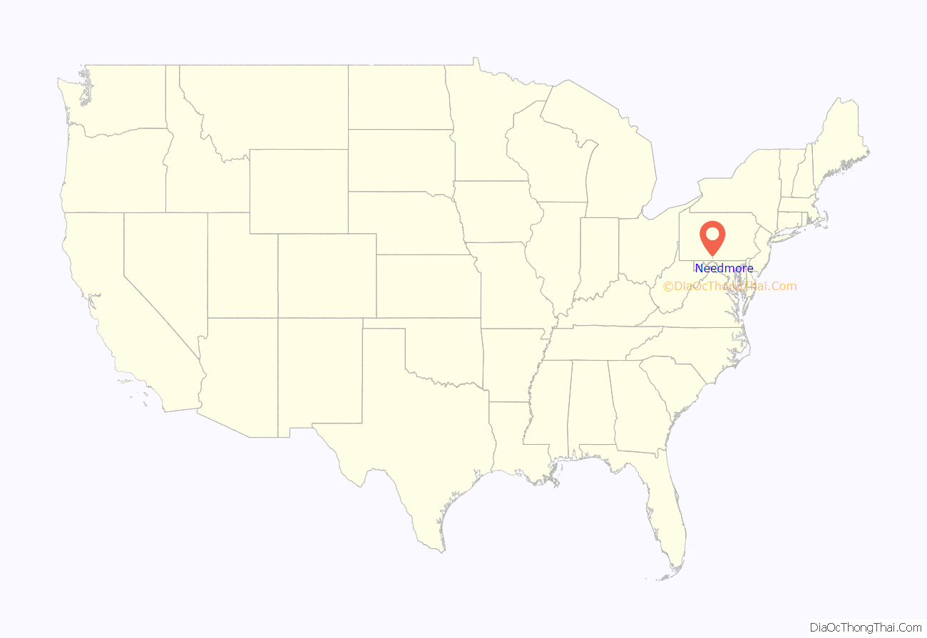
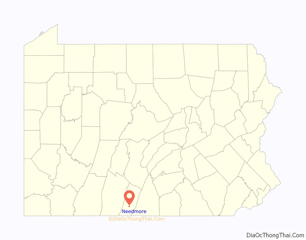
Needmore location map. Where is Needmore CDP?
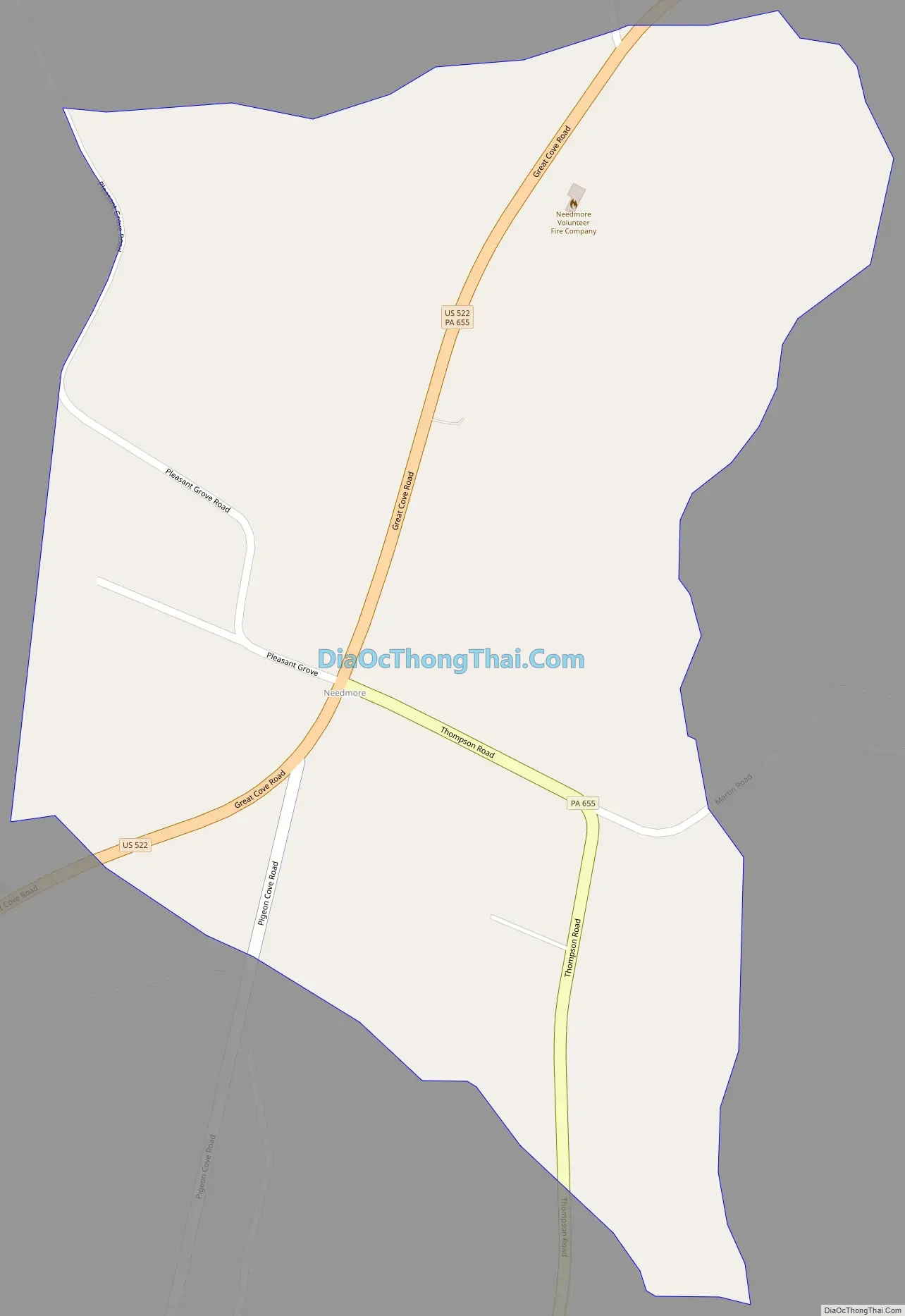
Needmore Road Map
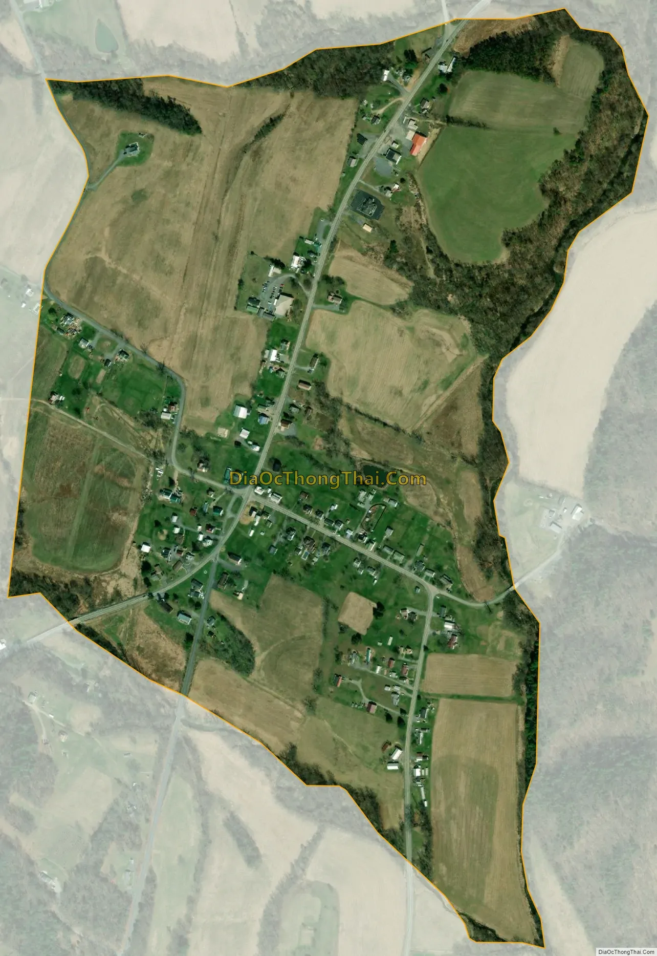
Needmore city Satellite Map
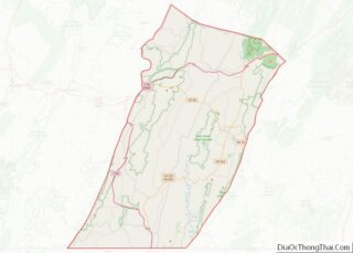
Geography
Needmore is in south-central Fulton County, at the intersection of U.S. Route 522 (Great Cove Road) and Route 655 (Thompson Road) in Belfast Township. US 522 leads south 7 miles (11 km) to Interstate 70 at Warfordsburg and northeast 13 miles (21 km) to McConnellsburg, the Fulton County seat. PA 655 leads south 9 miles (14 km) to the Maryland border (the Mason–Dixon line). Hancock, Maryland, is 11 miles (18 km) south via PA 655 and 12 miles (19 km) south via US 522.
The community is located in the valley of Tonoloway Creek, a southward-flowing tributary of the Potomac River. The north end of Tonoloway Ridge rises just south of Needmore.
Needmore from Route 522
See also
Map of Pennsylvania State and its subdivision:- Adams
- Allegheny
- Armstrong
- Beaver
- Bedford
- Berks
- Blair
- Bradford
- Bucks
- Butler
- Cambria
- Cameron
- Carbon
- Centre
- Chester
- Clarion
- Clearfield
- Clinton
- Columbia
- Crawford
- Cumberland
- Dauphin
- Delaware
- Elk
- Erie
- Fayette
- Forest
- Franklin
- Fulton
- Greene
- Huntingdon
- Indiana
- Jefferson
- Juniata
- Lackawanna
- Lancaster
- Lawrence
- Lebanon
- Lehigh
- Luzerne
- Lycoming
- Mc Kean
- Mercer
- Mifflin
- Monroe
- Montgomery
- Montour
- Northampton
- Northumberland
- Perry
- Philadelphia
- Pike
- Potter
- Schuylkill
- Snyder
- Somerset
- Sullivan
- Susquehanna
- Tioga
- Union
- Venango
- Warren
- Washington
- Wayne
- Westmoreland
- Wyoming
- York
- Alabama
- Alaska
- Arizona
- Arkansas
- California
- Colorado
- Connecticut
- Delaware
- District of Columbia
- Florida
- Georgia
- Hawaii
- Idaho
- Illinois
- Indiana
- Iowa
- Kansas
- Kentucky
- Louisiana
- Maine
- Maryland
- Massachusetts
- Michigan
- Minnesota
- Mississippi
- Missouri
- Montana
- Nebraska
- Nevada
- New Hampshire
- New Jersey
- New Mexico
- New York
- North Carolina
- North Dakota
- Ohio
- Oklahoma
- Oregon
- Pennsylvania
- Rhode Island
- South Carolina
- South Dakota
- Tennessee
- Texas
- Utah
- Vermont
- Virginia
- Washington
- West Virginia
- Wisconsin
- Wyoming