Nescopeck is a borough in Luzerne County, Pennsylvania. The population was 1,480 as of the 2020 census.
| Name: | Nescopeck borough |
|---|---|
| LSAD Code: | 21 |
| LSAD Description: | borough (suffix) |
| State: | Pennsylvania |
| County: | Luzerne County |
| Incorporated: | 1896 |
| Total Area: | 1.17 sq mi (3.03 km²) |
| Land Area: | 0.99 sq mi (2.56 km²) |
| Water Area: | 0.18 sq mi (0.47 km²) |
| Total Population: | 1,480 |
| Population Density: | 1,497.98/sq mi (578.30/km²) |
| Area code: | 570 |
| FIPS code: | 4252984 |
Online Interactive Map
Click on ![]() to view map in "full screen" mode.
to view map in "full screen" mode.
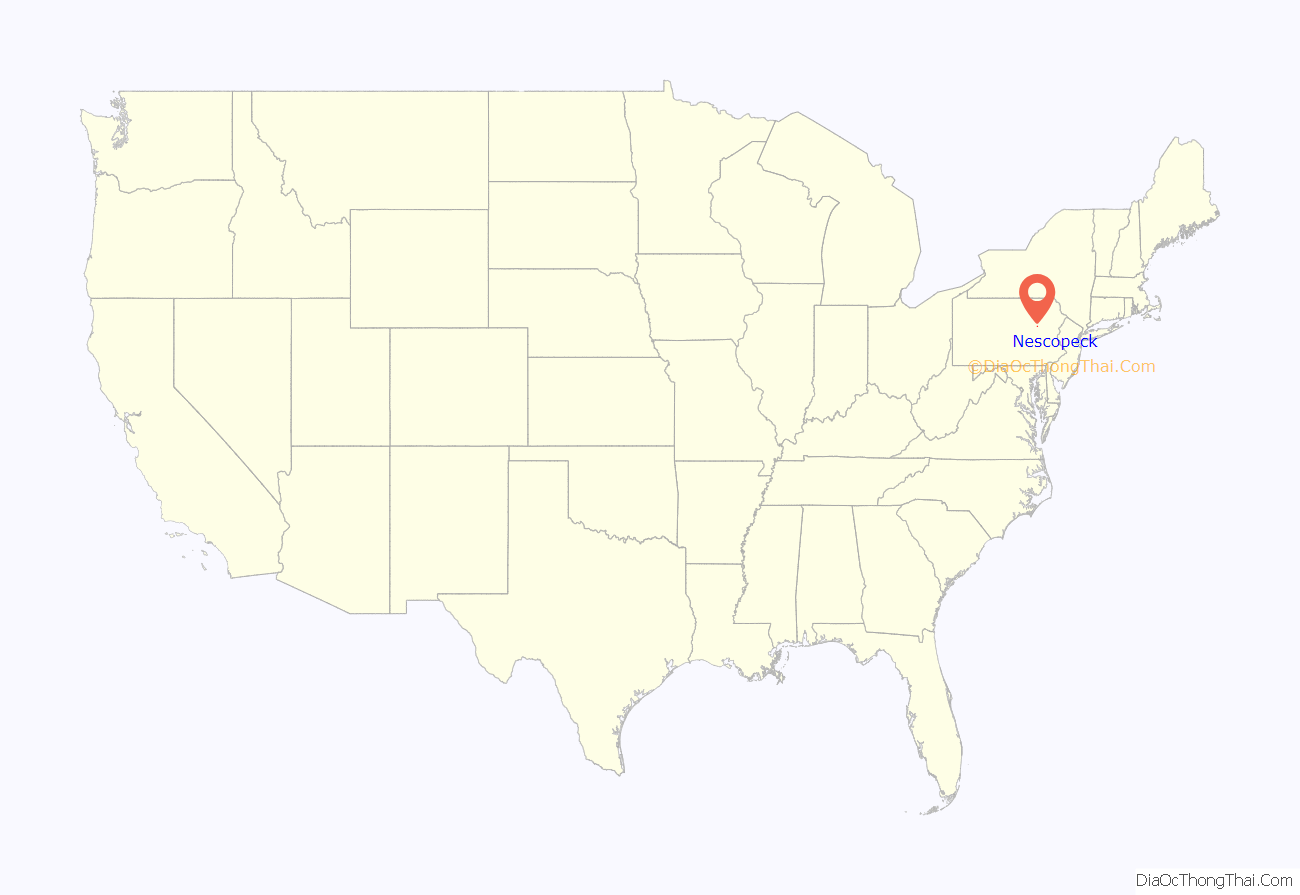
Nescopeck location map. Where is Nescopeck borough?

History
Nescopeck was first settled in 1786; it was later incorporated as a borough in 1896. By 1900, over one thousand people resided in the borough. That number would peak at 1,934 in 1960.
The borough derives its name from Nescopeck Creek, a Native American name purported to mean “black, deep, and still water”.
On August 5, 2022, a fire at a house killed ten people at a home in Nescopeck, including three children. All of the victims were related to a volunteer firefighter who responded to the blaze. Eight days later on August 13, a man allegedly drove into a crowd at a fundraiser for the victims in nearby Berwick, killing one person and wounding 17 others. The man then drove to a home in Nescopeck, where he was suspected of beating his mother to death.
Faith United Lutheran Church
Entering Nescopeck on PA 93
Nescopeck Road Map
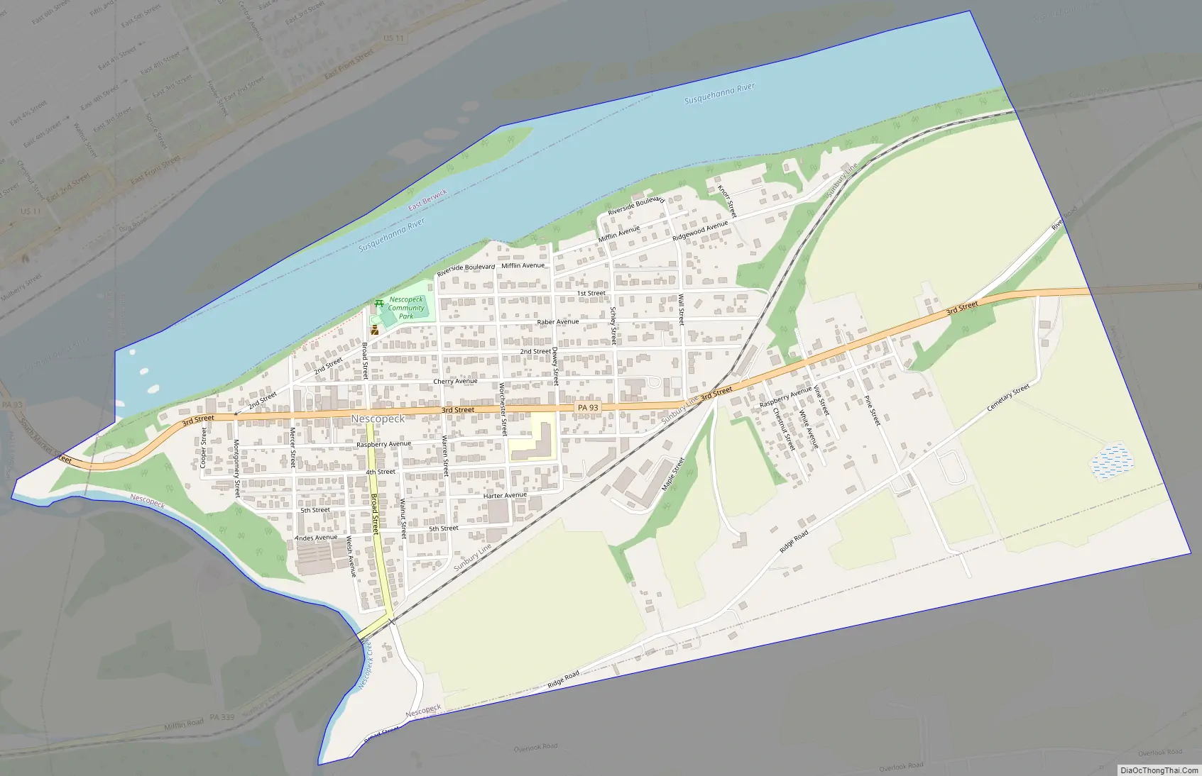
Nescopeck city Satellite Map

Geography
Nescopeck is located at 41°3′9″N 76°12′57″W / 41.05250°N 76.21583°W / 41.05250; -76.21583 (41.052379, -76.215871).
According to the United States Census Bureau, the borough has a total area of 1.0 square mile (2.7 km), all land. Nescopeck is located along the Susquehanna River (just outside of Berwick). It is a small farming community. PA 93 runs east to west through the borough. The highway crosses over the Susquehanna and links neighboring Berwick to Nescopeck. PA 339 enters Nescopeck from the west; it connects with PA 93 in the middle of the town.
Climate
The Köppen Climate Classification subtype for this climate is “Dfb” (Warm Summer Continental Climate). It has four distinct seasons. Winters are cold. The surrounding mountains have an influence on the climate (including both precipitation and temperatures), leading to wide variations within a short distance. On average, temperatures below 0 °F (−17.8 °C) are infrequent, occurring several days per year, and there are several dozen days where the maximum temperature remains below 32 °F (0.0 °C). Severe snowstorms are rare. However, when snowstorms do occur, they can disrupt normal routines for several days.
Summers are warm. In an average summer, temperatures exceeding 90 °F (32.2 °C) occur several days and can occasionally exceed 100 °F (37.8 °C). Spring and fall are unpredictable with temperatures ranging from cold to warm (although they are usually mild). On average, Nescopeck receives precipitation which is relatively evenly distributed throughout the year (though the summer months receive more precipitation).
See also
Map of Pennsylvania State and its subdivision:- Adams
- Allegheny
- Armstrong
- Beaver
- Bedford
- Berks
- Blair
- Bradford
- Bucks
- Butler
- Cambria
- Cameron
- Carbon
- Centre
- Chester
- Clarion
- Clearfield
- Clinton
- Columbia
- Crawford
- Cumberland
- Dauphin
- Delaware
- Elk
- Erie
- Fayette
- Forest
- Franklin
- Fulton
- Greene
- Huntingdon
- Indiana
- Jefferson
- Juniata
- Lackawanna
- Lancaster
- Lawrence
- Lebanon
- Lehigh
- Luzerne
- Lycoming
- Mc Kean
- Mercer
- Mifflin
- Monroe
- Montgomery
- Montour
- Northampton
- Northumberland
- Perry
- Philadelphia
- Pike
- Potter
- Schuylkill
- Snyder
- Somerset
- Sullivan
- Susquehanna
- Tioga
- Union
- Venango
- Warren
- Washington
- Wayne
- Westmoreland
- Wyoming
- York
- Alabama
- Alaska
- Arizona
- Arkansas
- California
- Colorado
- Connecticut
- Delaware
- District of Columbia
- Florida
- Georgia
- Hawaii
- Idaho
- Illinois
- Indiana
- Iowa
- Kansas
- Kentucky
- Louisiana
- Maine
- Maryland
- Massachusetts
- Michigan
- Minnesota
- Mississippi
- Missouri
- Montana
- Nebraska
- Nevada
- New Hampshire
- New Jersey
- New Mexico
- New York
- North Carolina
- North Dakota
- Ohio
- Oklahoma
- Oregon
- Pennsylvania
- Rhode Island
- South Carolina
- South Dakota
- Tennessee
- Texas
- Utah
- Vermont
- Virginia
- Washington
- West Virginia
- Wisconsin
- Wyoming


