Nesquehoning is a borough in Carbon County, Pennsylvania, United States. It is part of Northeastern Pennsylvania. The population was 3,336 at the 2020 census.
Nesquehoning was established as a result of the anthracite coal mining industry. It was incorporated as a borough in 1963 (effective in 1964), having previously been a part of Mauch Chunk Township west of the Lehigh River. The borough’s name is of Native American origin, commonly believed to signify “narrow valley;” however native language scholars translate the name as “at the black lick” or “at the dirty lick,” referring to mineral licks frequented by deer or other animals.
| Name: | Nesquehoning borough |
|---|---|
| LSAD Code: | 21 |
| LSAD Description: | borough (suffix) |
| State: | Pennsylvania |
| County: | Carbon County |
| Elevation: | 830 ft (250 m) |
| Total Area: | 21.55 sq mi (55.81 km²) |
| Land Area: | 21.16 sq mi (54.81 km²) |
| Water Area: | 0.39 sq mi (1.01 km²) |
| Total Population: | 3,336 |
| Population Density: | 157.64/sq mi (60.87/km²) |
| ZIP code: | 18240 |
| FIPS code: | 4253088 |
| Website: | nesquehoning.org |
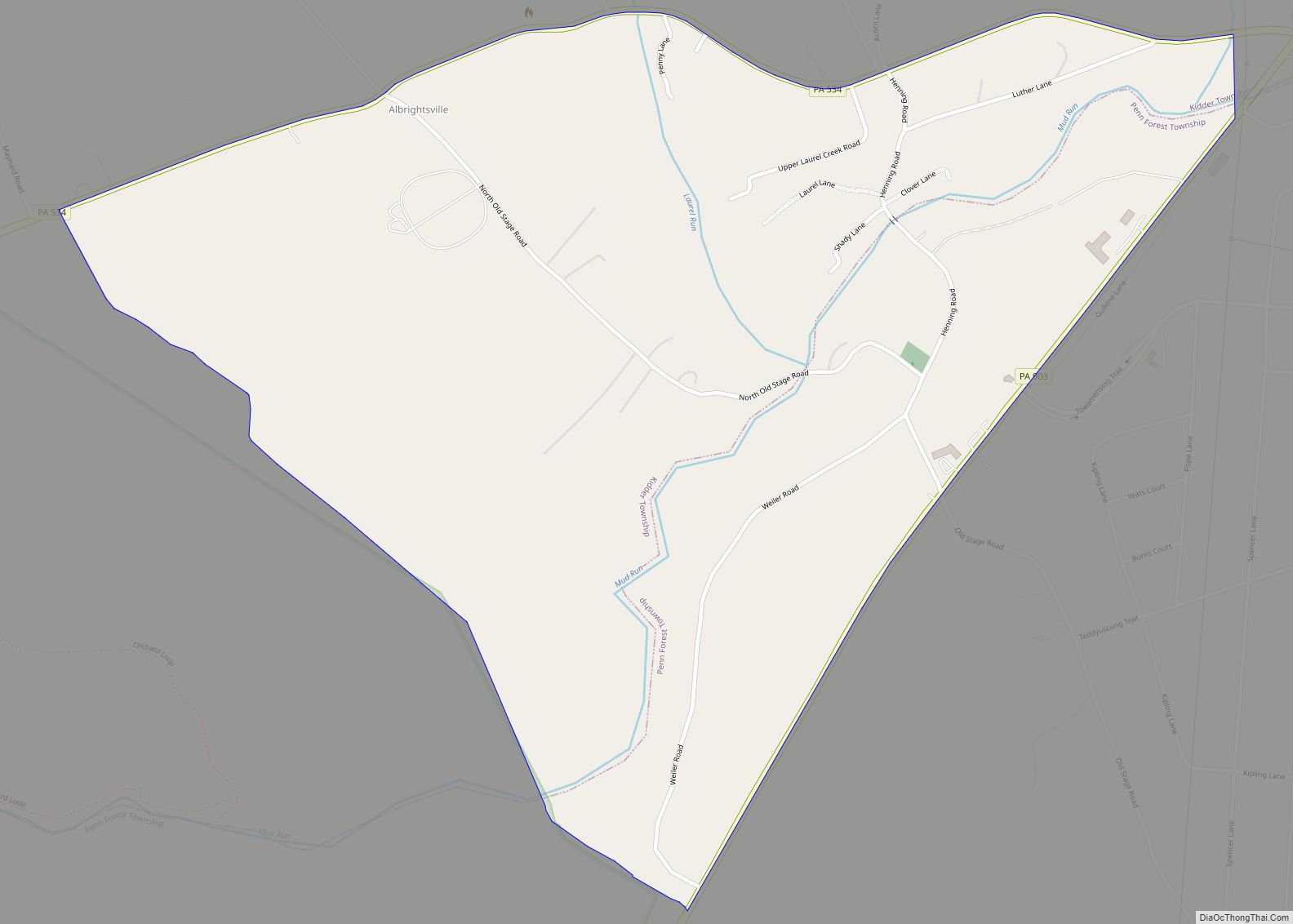
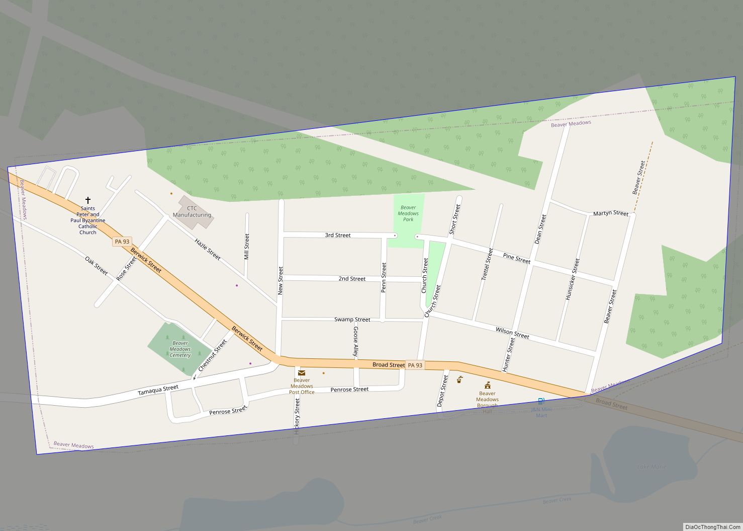
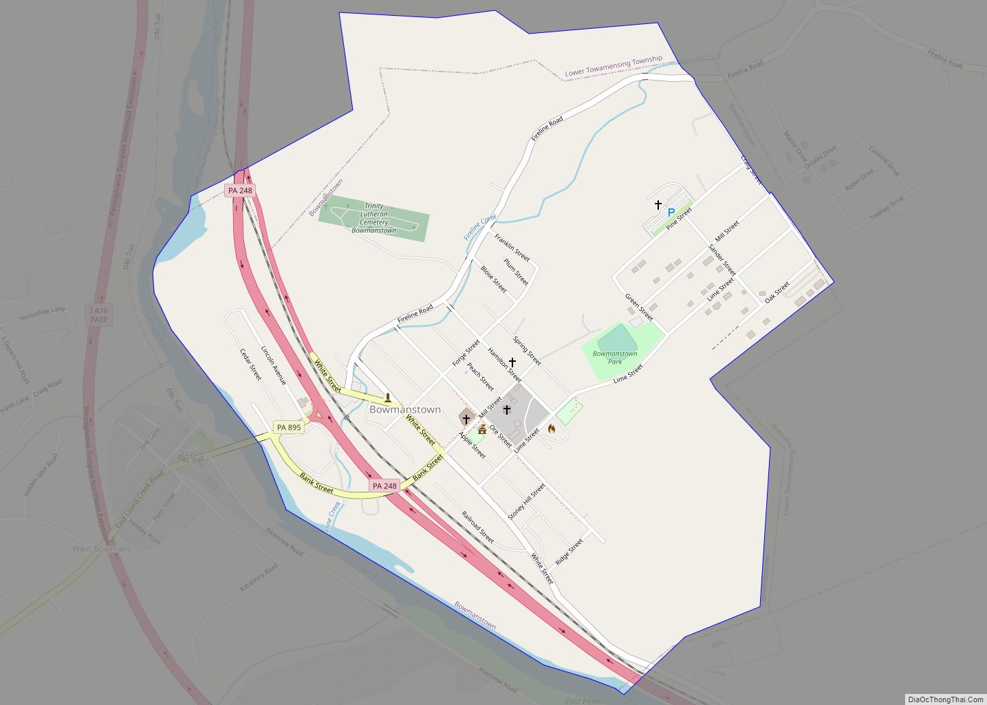
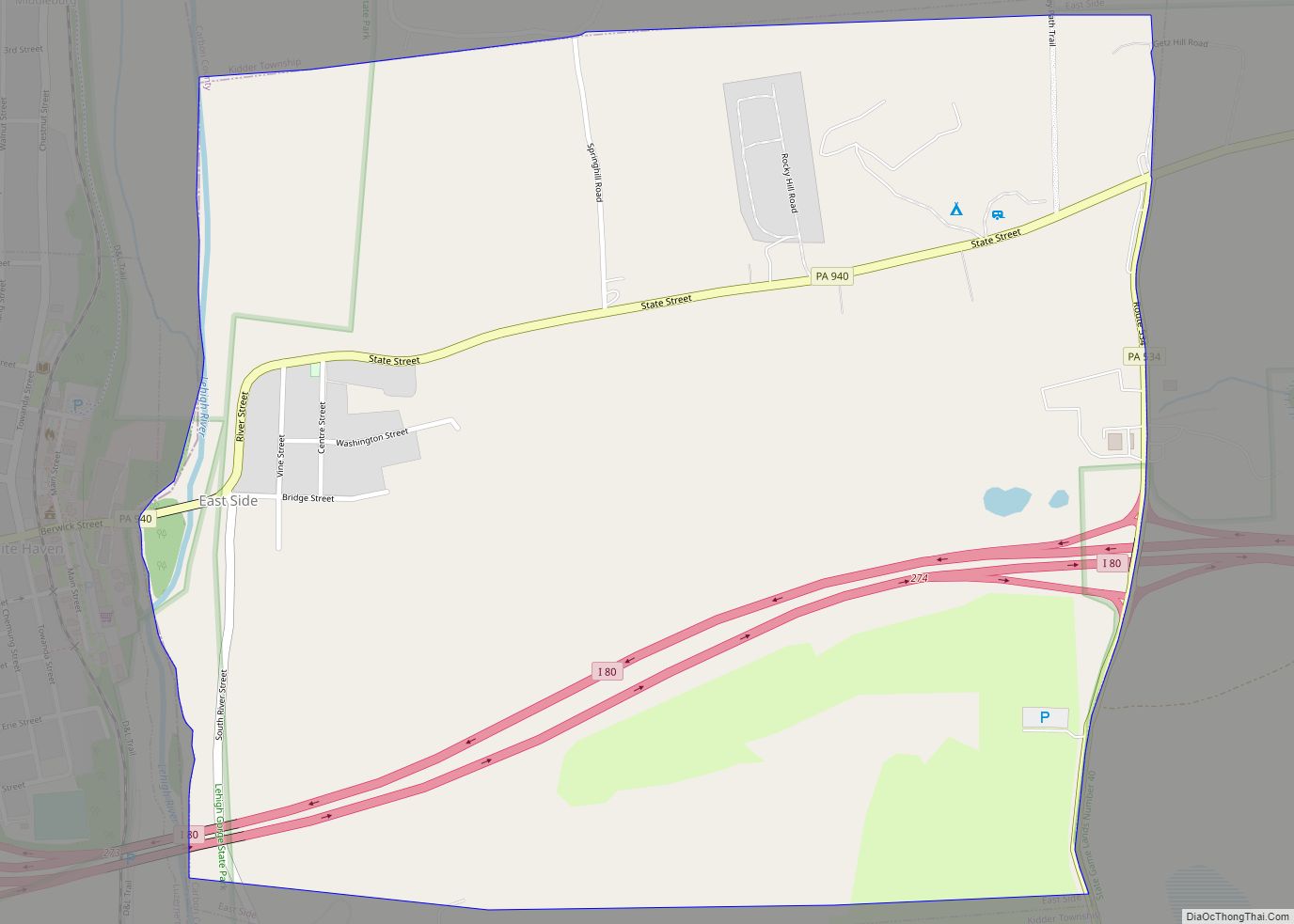
Online Interactive Map
Click on ![]() to view map in "full screen" mode.
to view map in "full screen" mode.
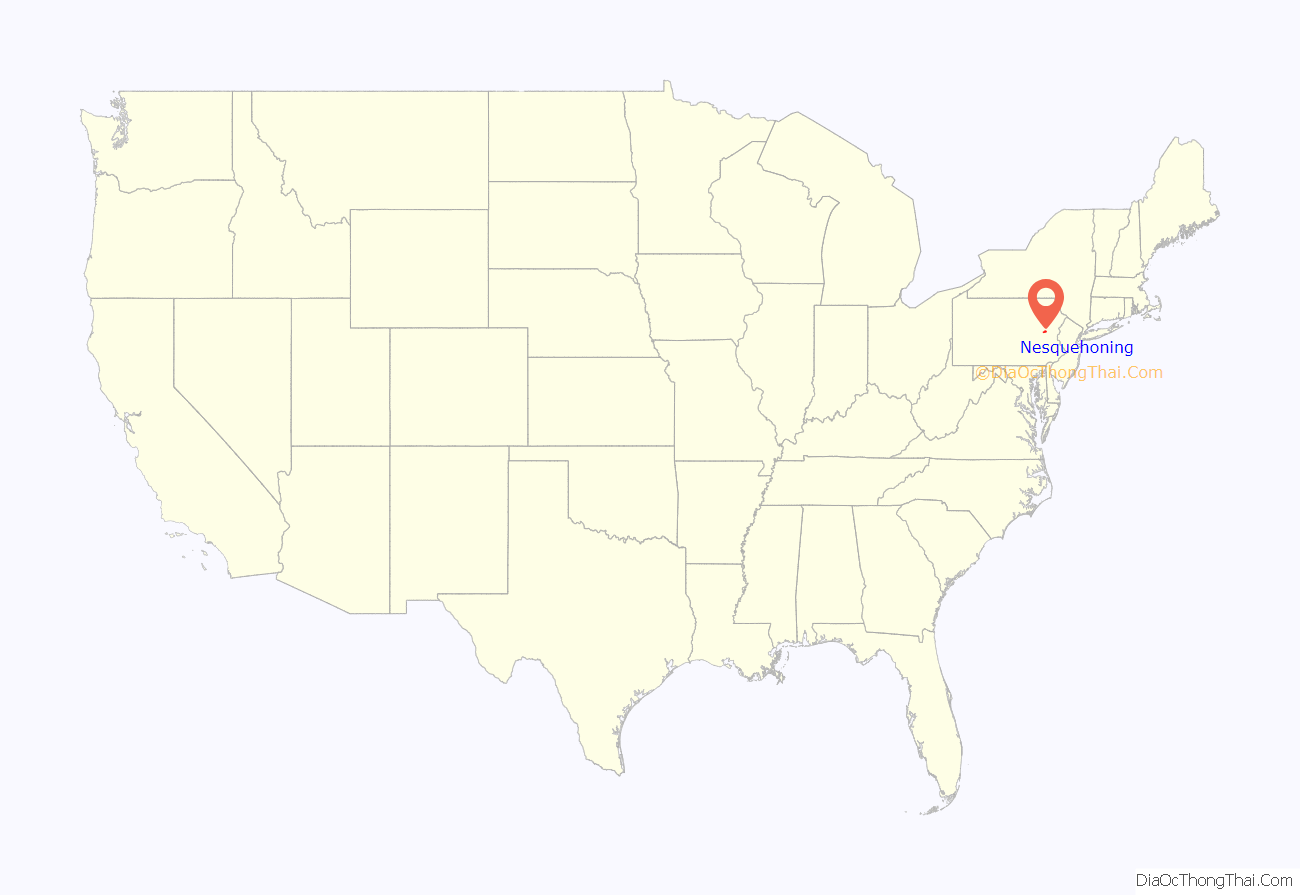
Nesquehoning location map. Where is Nesquehoning borough?
History
- The former Nesquehoning High School was added to the National Register of Historic Places in 2003.
- The Grotto, Our Lady of Lourdes Shrine at the Shrine of St. Therese of Lisieux in New Columbus, Nesquehoning, PA is listed as a Traditional Cultural Property at the US National Register of Historic Places
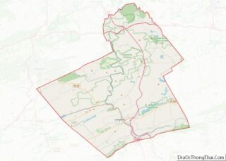
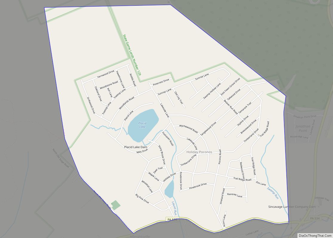
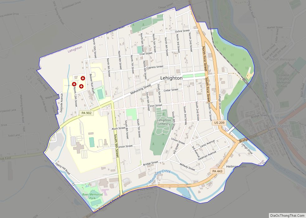
Nesquehoning Road Map
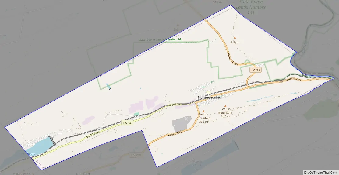
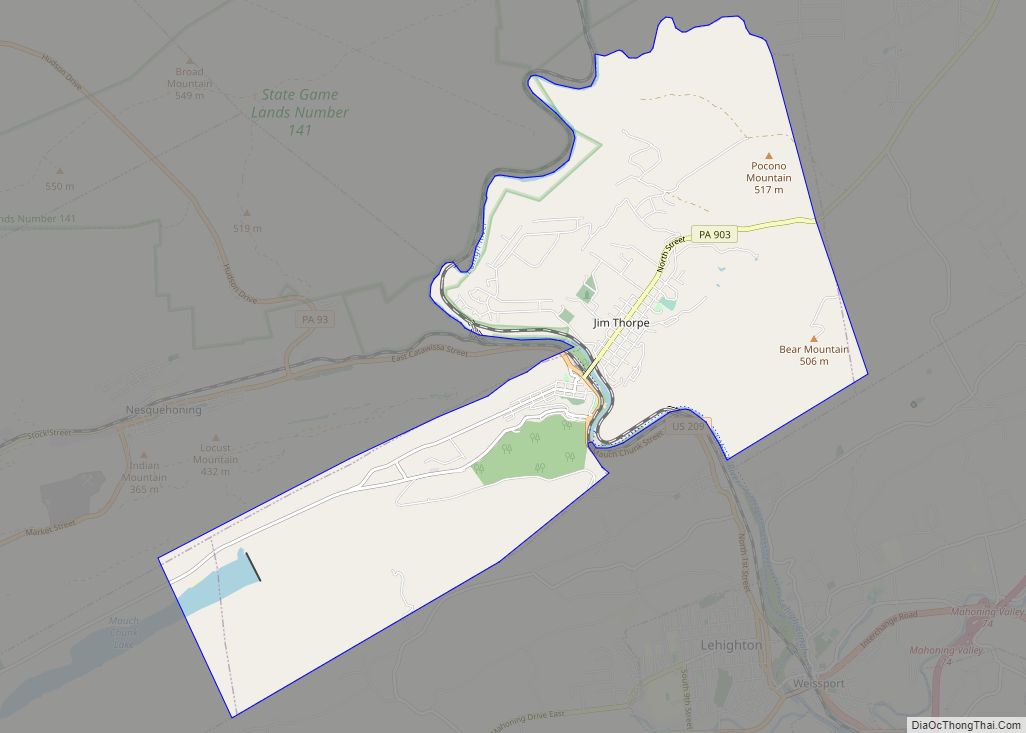
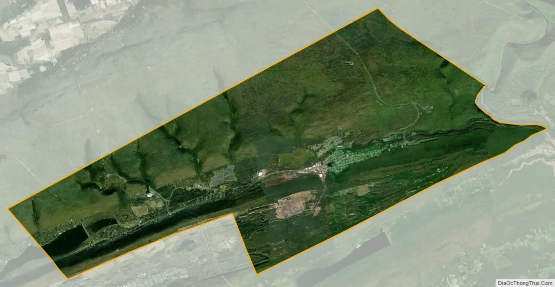
Nesquehoning city Satellite Map
Geography
Nesquehoning is located at 40°52′5″N 75°49′27″W / 40.86806°N 75.82417°W / 40.86806; -75.82417 (40.868178, -75.824176). According to the U.S. Census Bureau, the borough has a total area of 21.6 square miles (56 km), of which, 21.2 square miles (55 km) is land and 0.4 square miles (1.0 km) (1.90%) is water. Nesquehoning is 3 miles (4.8 km) west of Jim Thorpe and 4 miles (6.4 km) northeast of Lansford. Nesquehoning’s elevation is 830 feet (250 m) above sea level. It has a warm-summer humid continental climate (Dfb) and its monthly average temperatures range from 26.5 °F (−3.1 °C) in January to 71.1 °F (21.7 °C) in July. The hardiness zone is 6a.
See also
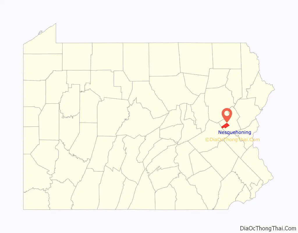
Map of Pennsylvania State and its subdivision:- Adams
- Allegheny
- Armstrong
- Beaver
- Bedford
- Berks
- Blair
- Bradford
- Bucks
- Butler
- Cambria
- Cameron
- Carbon
- Centre
- Chester
- Clarion
- Clearfield
- Clinton
- Columbia
- Crawford
- Cumberland
- Dauphin
- Delaware
- Elk
- Erie
- Fayette
- Forest
- Franklin
- Fulton
- Greene
- Huntingdon
- Indiana
- Jefferson
- Juniata
- Lackawanna
- Lancaster
- Lawrence
- Lebanon
- Lehigh
- Luzerne
- Lycoming
- Mc Kean
- Mercer
- Mifflin
- Monroe
- Montgomery
- Montour
- Northampton
- Northumberland
- Perry
- Philadelphia
- Pike
- Potter
- Schuylkill
- Snyder
- Somerset
- Sullivan
- Susquehanna
- Tioga
- Union
- Venango
- Warren
- Washington
- Wayne
- Westmoreland
- Wyoming
- York
- Alabama
- Alaska
- Arizona
- Arkansas
- California
- Colorado
- Connecticut
- Delaware
- District of Columbia
- Florida
- Georgia
- Hawaii
- Idaho
- Illinois
- Indiana
- Iowa
- Kansas
- Kentucky
- Louisiana
- Maine
- Maryland
- Massachusetts
- Michigan
- Minnesota
- Mississippi
- Missouri
- Montana
- Nebraska
- Nevada
- New Hampshire
- New Jersey
- New Mexico
- New York
- North Carolina
- North Dakota
- Ohio
- Oklahoma
- Oregon
- Pennsylvania
- Rhode Island
- South Carolina
- South Dakota
- Tennessee
- Texas
- Utah
- Vermont
- Virginia
- Washington
- West Virginia
- Wisconsin
- Wyoming