New Beaver is a borough in Lawrence County, Pennsylvania, United States. The population was 1,370 at the 2020 census. It is part of the New Castle micropolitan area.
| Name: | New Beaver borough |
|---|---|
| LSAD Code: | 21 |
| LSAD Description: | borough (suffix) |
| State: | Pennsylvania |
| County: | Lawrence County |
| Total Area: | 14.57 sq mi (37.73 km²) |
| Land Area: | 14.45 sq mi (37.43 km²) |
| Water Area: | 0.12 sq mi (0.31 km²) |
| Total Population: | 1,372 |
| Population Density: | 94.95/sq mi (36.66/km²) |
| Area code: | 724 |
| FIPS code: | 4253184 |
| Website: | newbeaverborough.org |
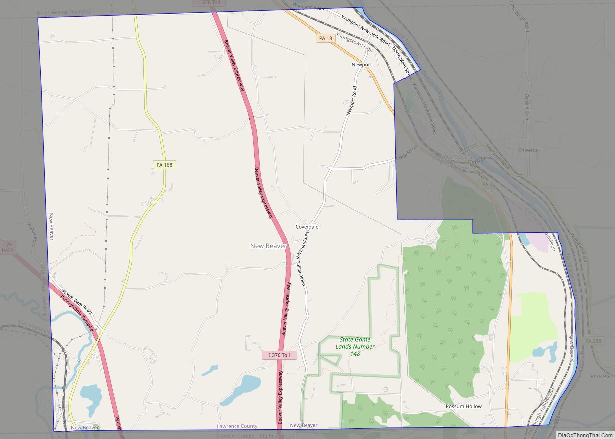
Online Interactive Map
Click on ![]() to view map in "full screen" mode.
to view map in "full screen" mode.
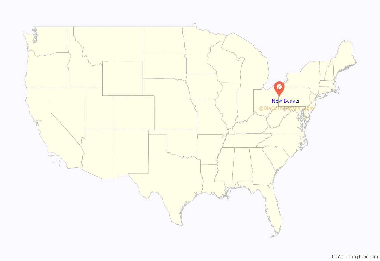
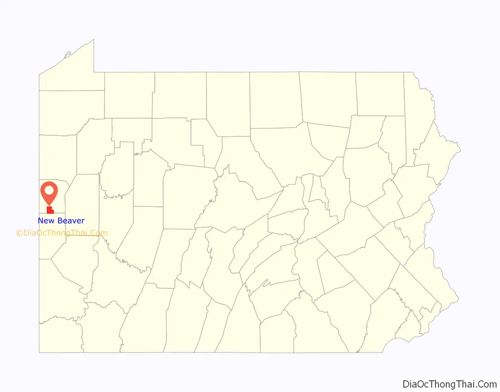
New Beaver location map. Where is New Beaver borough?
History
Big Beaver Township was established as one of the thirteen townships in Lawrence County. Initially, Big Beaver Township included what is now the borough of Wampum. Wampum became a separate borough on February 19, 1876, the same year that the Wampum Cement and Lime Company began. It is worth noting that the cement plant was located outside the borough of Wampum in what remained as Big Beaver Township.
There were five schools in Big Beaver Township in 1875. There were approximately 266 enrolled students. The average attendance was 170 and the school term was seven months.
The area of Big Beaver Township suffered growth and loss over the next seventy five years. Two world wars and several depressions saw the population and industry decline. The Borough of Wampum, in search of a larger tax base, decided to annex the Medusa Cement Plant from Big Beaver Township. At that time, according to Pennsylvania state law, a township could not prevent a borough from annexing property and Wampum succeeded in annexing the property into Wampum. Shortly after this, the Borough of Ellwood began to consider annexing the property south of the cement plant. In 1958, the township trustees began the process of changing Big Beaver Township into the Borough of New Beaver in order to prevent the further annexation. The charter was signed on November 18, 1959, however the community continued to operate as a township until elections could be held in 1961.
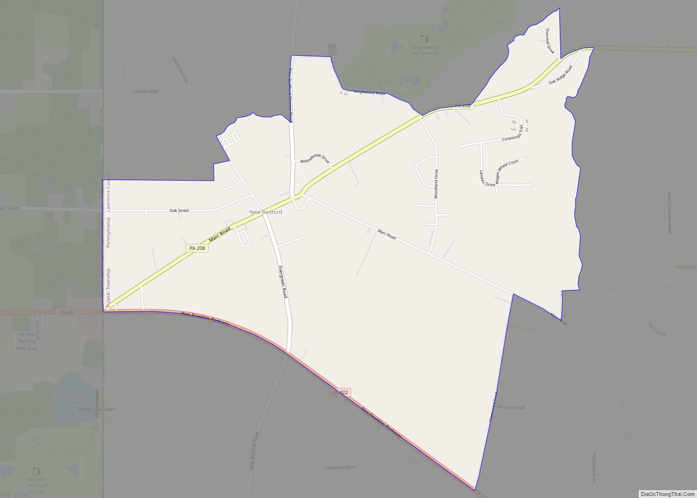
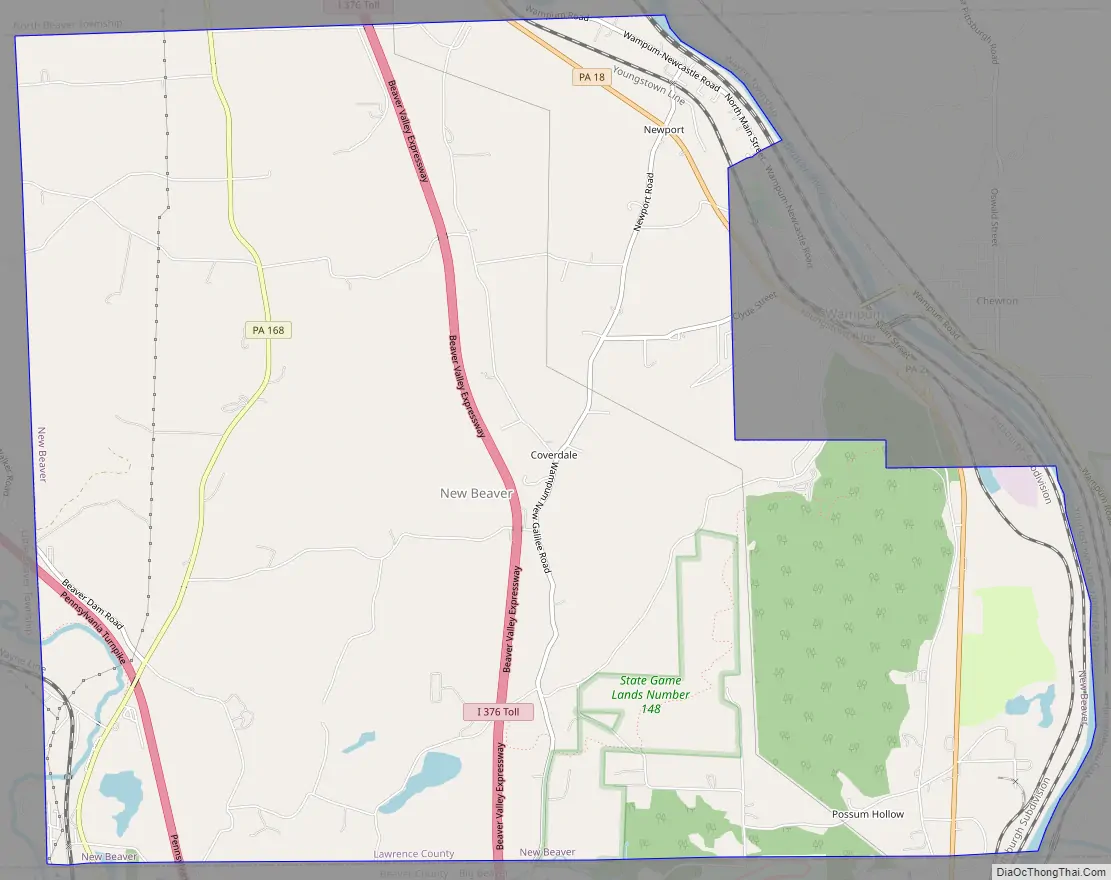
New Beaver Road Map
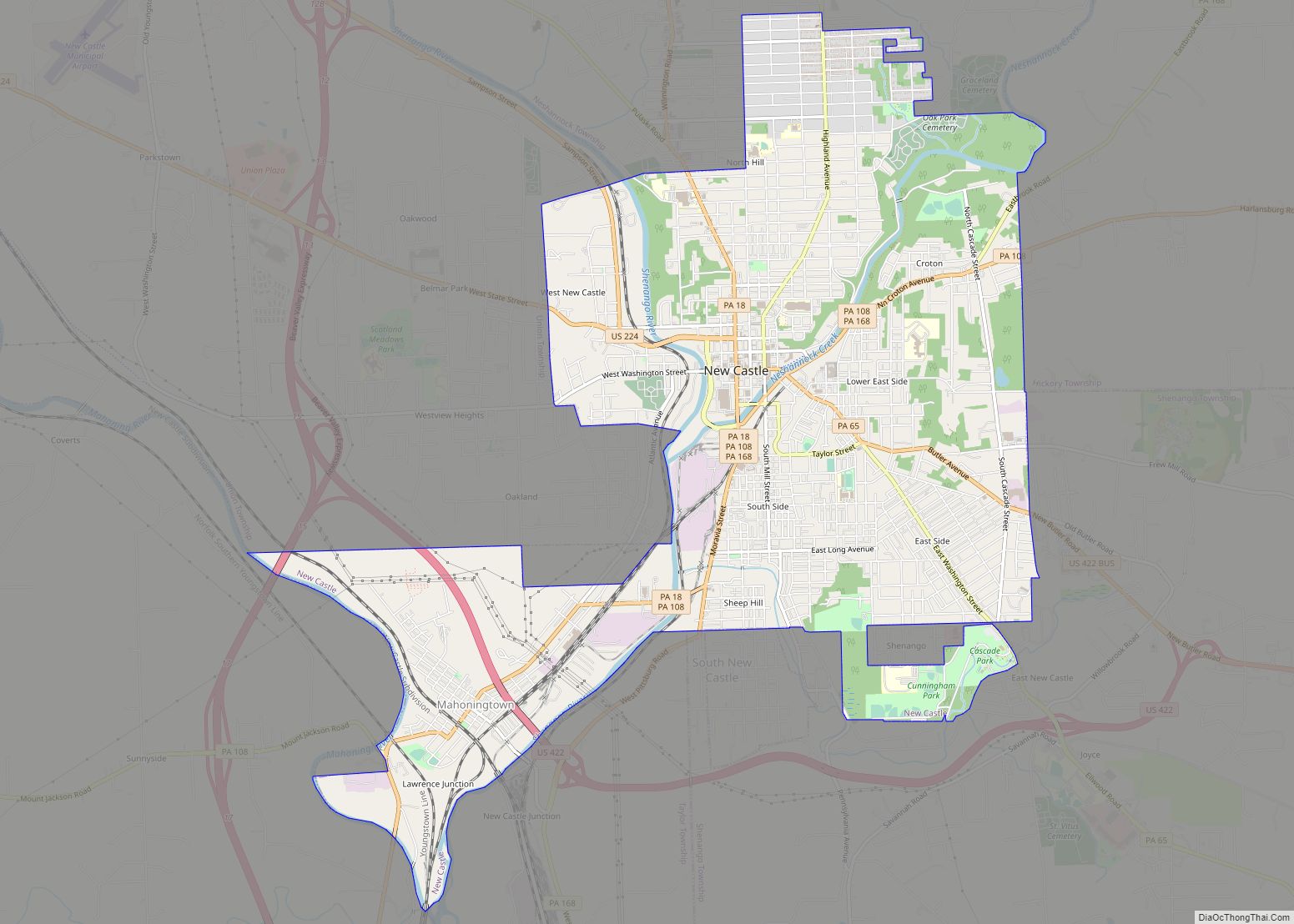
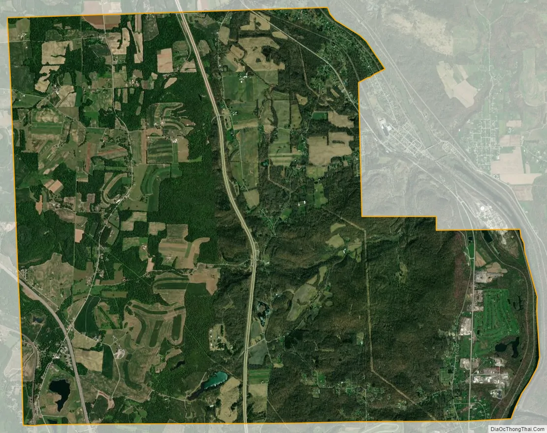
New Beaver city Satellite Map
Geography
New Beaver is located at 40°52′46″N 80°22′21″W / 40.87944°N 80.37250°W / 40.87944; -80.37250 (40.879553, -80.372525).
According to the United States Census Bureau, the borough has a total area of 14.5 square miles (38 km), of which 14.5 square miles (38 km) is land and 0.04 square miles (0.10 km), or 0.28%, is water.
See also
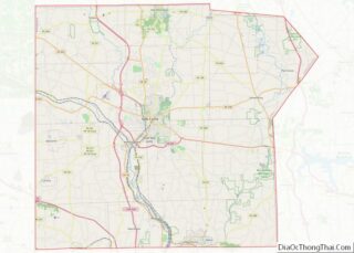
Map of Pennsylvania State and its subdivision:- Adams
- Allegheny
- Armstrong
- Beaver
- Bedford
- Berks
- Blair
- Bradford
- Bucks
- Butler
- Cambria
- Cameron
- Carbon
- Centre
- Chester
- Clarion
- Clearfield
- Clinton
- Columbia
- Crawford
- Cumberland
- Dauphin
- Delaware
- Elk
- Erie
- Fayette
- Forest
- Franklin
- Fulton
- Greene
- Huntingdon
- Indiana
- Jefferson
- Juniata
- Lackawanna
- Lancaster
- Lawrence
- Lebanon
- Lehigh
- Luzerne
- Lycoming
- Mc Kean
- Mercer
- Mifflin
- Monroe
- Montgomery
- Montour
- Northampton
- Northumberland
- Perry
- Philadelphia
- Pike
- Potter
- Schuylkill
- Snyder
- Somerset
- Sullivan
- Susquehanna
- Tioga
- Union
- Venango
- Warren
- Washington
- Wayne
- Westmoreland
- Wyoming
- York
- Alabama
- Alaska
- Arizona
- Arkansas
- California
- Colorado
- Connecticut
- Delaware
- District of Columbia
- Florida
- Georgia
- Hawaii
- Idaho
- Illinois
- Indiana
- Iowa
- Kansas
- Kentucky
- Louisiana
- Maine
- Maryland
- Massachusetts
- Michigan
- Minnesota
- Mississippi
- Missouri
- Montana
- Nebraska
- Nevada
- New Hampshire
- New Jersey
- New Mexico
- New York
- North Carolina
- North Dakota
- Ohio
- Oklahoma
- Oregon
- Pennsylvania
- Rhode Island
- South Carolina
- South Dakota
- Tennessee
- Texas
- Utah
- Vermont
- Virginia
- Washington
- West Virginia
- Wisconsin
- Wyoming