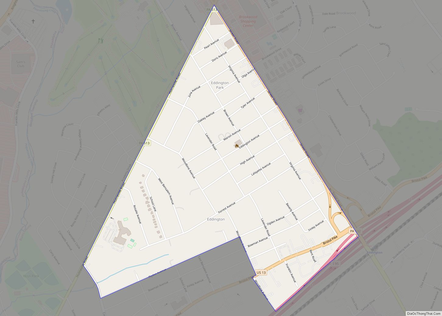
New Britain is a borough in Bucks County, Pennsylvania, United States. The population was 3,152 at the 2010 census.
| Name: | New Britain borough |
|---|---|
| LSAD Code: | 21 |
| LSAD Description: | borough (suffix) |
| State: | Pennsylvania |
| County: | Bucks County |
| Elevation: | 276 ft (84 m) |
| Total Area: | 1.21 sq mi (3.13 km²) |
| Land Area: | 1.21 sq mi (3.13 km²) |
| Water Area: | 0.00 sq mi (0.01 km²) |
| Total Population: | 2,836 |
| Population Density: | 2,349.63/sq mi (907.10/km²) |
| ZIP code: | 18901 |
| FIPS code: | 4253296 |
| Website: | www.newbritainboro.com |
Online Interactive Map
Click on ![]() to view map in "full screen" mode.
to view map in "full screen" mode.
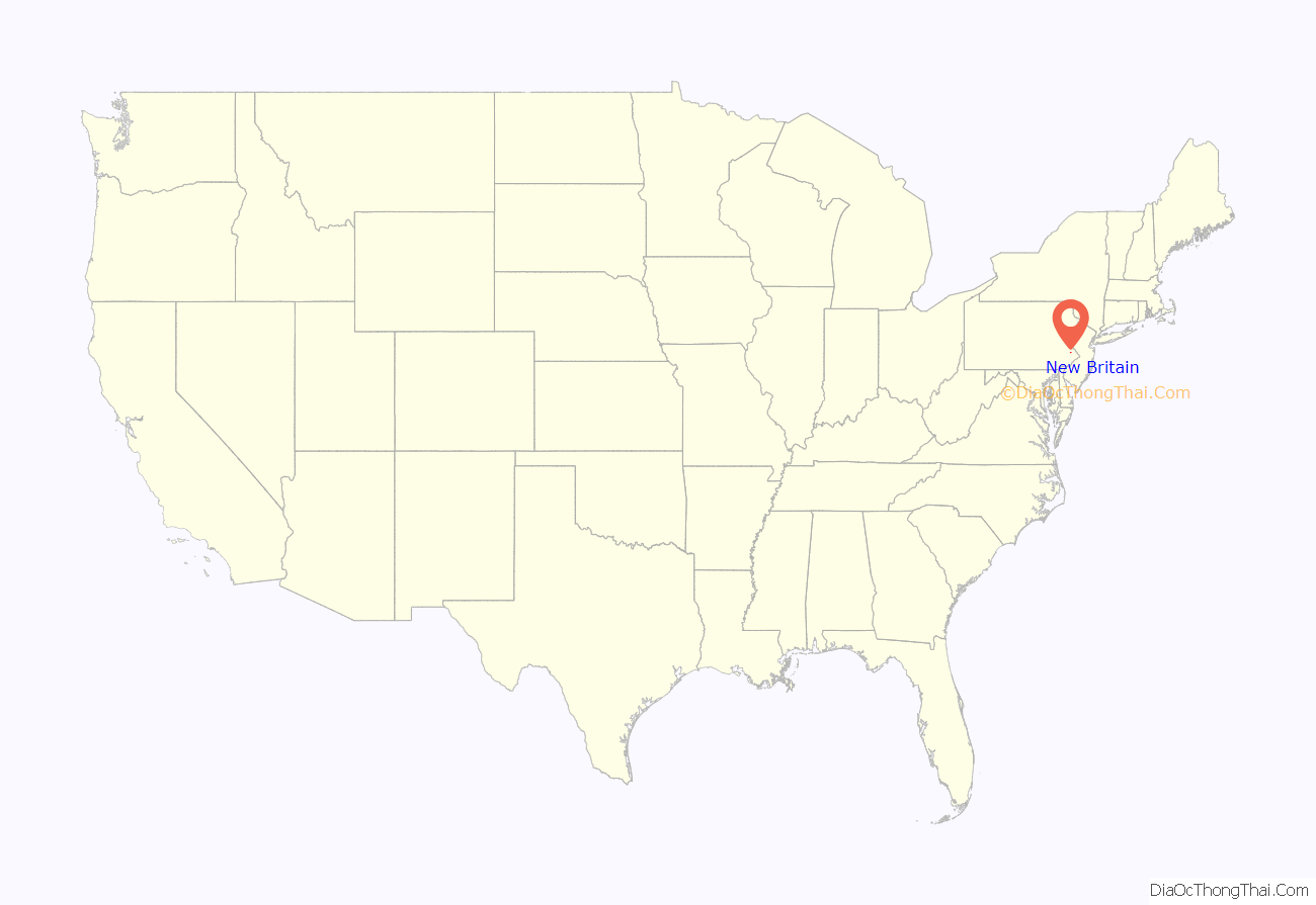
New Britain location map. Where is New Britain borough?
History
Eugene James built an estate about 1731 and included the Mathews homestead, a fine Colonial house built in 1744 upon the site of an earlier house destroyed by fire. The village of James Manor was begun on the estate by Wynne James. Nearby villages were Jamestown, New Britain and Vauxtown. The National Farm School, now the Delaware Valley University was built near James Manor.
The Sign of the Horses and Wagon was a tavern in the west end of the village, where Lafayette headquartered at the time the Continental Army marched from Valley Forge to Monmouth, New Jersey.
The first dwelling in the village of New Britain was built at the intersection of West Butler Avenue (U.S. Route 202) and Almshouse Road by David Stephens, who purchased land from Joseph Kirkbride, sometime before 1760.
Early on, the village was called Bittings Store or Bittings Corner for a short time. Most of the people living in village were members of the Montgomery Baptist Church. About 1740 they separated from Montgomery calling their church the Society Meeting House, the first pastors William Davis, Joseph Eaton, and Joshua Jones. By 1813, it the name was changed to the New Britain Baptist Church.
The North Pennsylvania Railroad station was opened in 1856, the name on the sign at the station was “New Brittain”. A post office was established on 28 December 1829, Isaac W. James, postmaster. New Britain was incorporated as a borough on 21 May 1928 taking in the villages of James Manor, Jamestown, New Britain, and a part of Vauxtown.
New Britain was entered into the Geographic Names Information System on 30 August 1999 as identification 1214971.
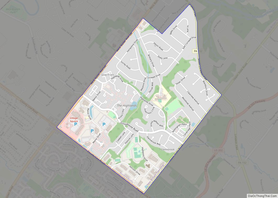
New Britain Road Map
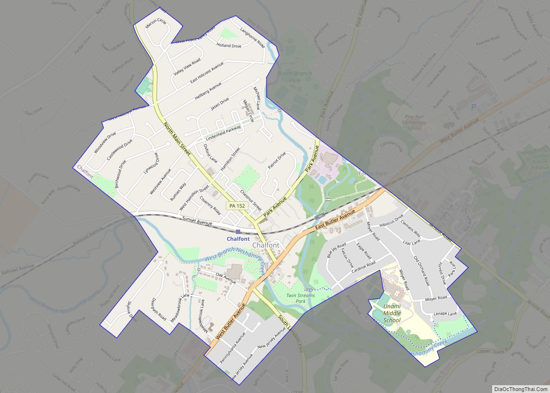
New Britain city Satellite Map
Geography
New Britain is located at 40°17′57″N 75°10′42″W / 40.29917°N 75.17833°W / 40.29917; -75.17833 (40.299256, -75.178224).
Natural features include Cooks Run and Neshaminy Creek.
According to the United States Census Bureau, the borough has a total area of 1.3 square miles (3.4 km), all land.
See also
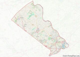
Map of Pennsylvania State and its subdivision:- Adams
- Allegheny
- Armstrong
- Beaver
- Bedford
- Berks
- Blair
- Bradford
- Bucks
- Butler
- Cambria
- Cameron
- Carbon
- Centre
- Chester
- Clarion
- Clearfield
- Clinton
- Columbia
- Crawford
- Cumberland
- Dauphin
- Delaware
- Elk
- Erie
- Fayette
- Forest
- Franklin
- Fulton
- Greene
- Huntingdon
- Indiana
- Jefferson
- Juniata
- Lackawanna
- Lancaster
- Lawrence
- Lebanon
- Lehigh
- Luzerne
- Lycoming
- Mc Kean
- Mercer
- Mifflin
- Monroe
- Montgomery
- Montour
- Northampton
- Northumberland
- Perry
- Philadelphia
- Pike
- Potter
- Schuylkill
- Snyder
- Somerset
- Sullivan
- Susquehanna
- Tioga
- Union
- Venango
- Warren
- Washington
- Wayne
- Westmoreland
- Wyoming
- York
- Alabama
- Alaska
- Arizona
- Arkansas
- California
- Colorado
- Connecticut
- Delaware
- District of Columbia
- Florida
- Georgia
- Hawaii
- Idaho
- Illinois
- Indiana
- Iowa
- Kansas
- Kentucky
- Louisiana
- Maine
- Maryland
- Massachusetts
- Michigan
- Minnesota
- Mississippi
- Missouri
- Montana
- Nebraska
- Nevada
- New Hampshire
- New Jersey
- New Mexico
- New York
- North Carolina
- North Dakota
- Ohio
- Oklahoma
- Oregon
- Pennsylvania
- Rhode Island
- South Carolina
- South Dakota
- Tennessee
- Texas
- Utah
- Vermont
- Virginia
- Washington
- West Virginia
- Wisconsin
- Wyoming
