Newry is a borough in Blair County, Pennsylvania, United States. The population was 231 at the 2020 census. It is part of the Altoona, PA Metropolitan Statistical Area and one of the communities comprising the Altoona Urban Area.
It was named after the town of Newry in Northern Ireland.
| Name: | Newry borough |
|---|---|
| LSAD Code: | 21 |
| LSAD Description: | borough (suffix) |
| State: | Pennsylvania |
| County: | Blair County |
| Incorporated: | 1876 |
| Elevation: | 1,050 ft (320 m) |
| Total Area: | 0.10 sq mi (0.25 km²) |
| Land Area: | 0.10 sq mi (0.25 km²) |
| Water Area: | 0.00 sq mi (0.00 km²) |
| Total Population: | 230 |
| Population Density: | 2,346.94/sq mi (905.39/km²) |
| Area code: | 814 |
| FIPS code: | 4254024 |
| GNISfeature ID: | 1182411 |
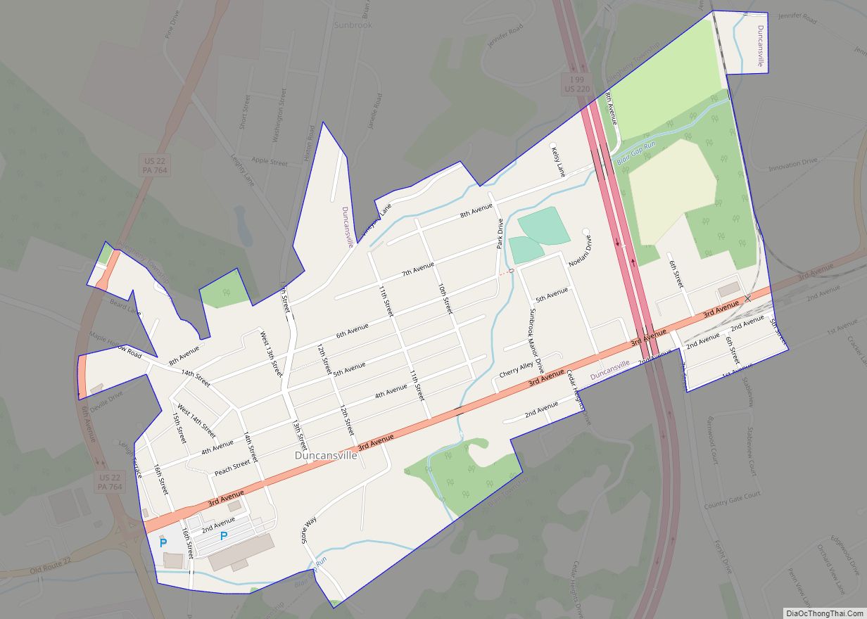
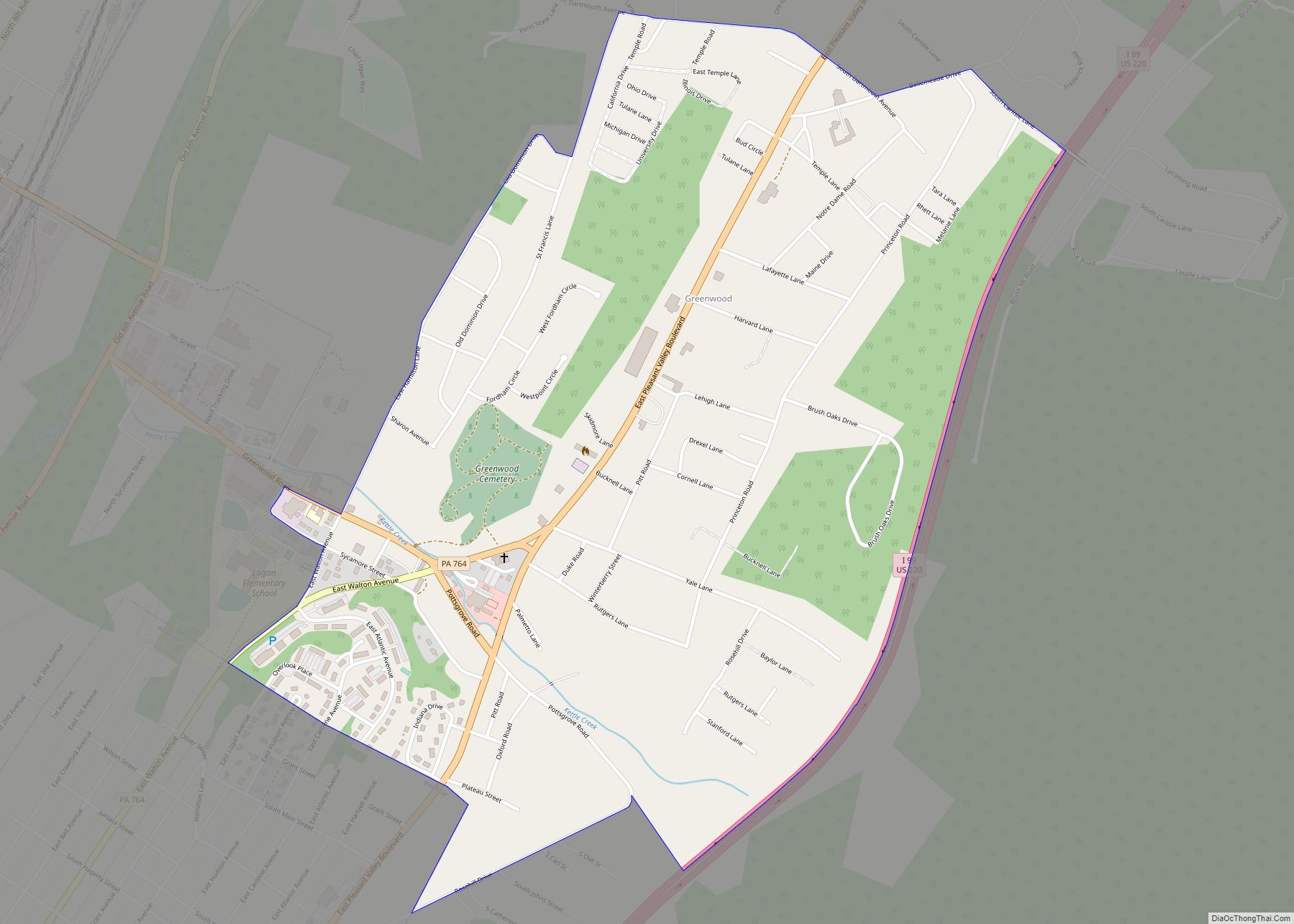
Online Interactive Map
Click on ![]() to view map in "full screen" mode.
to view map in "full screen" mode.
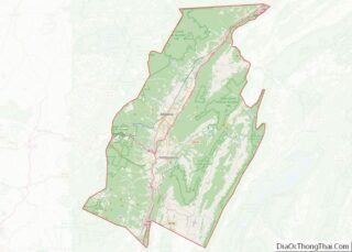
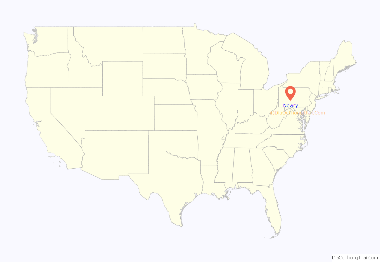
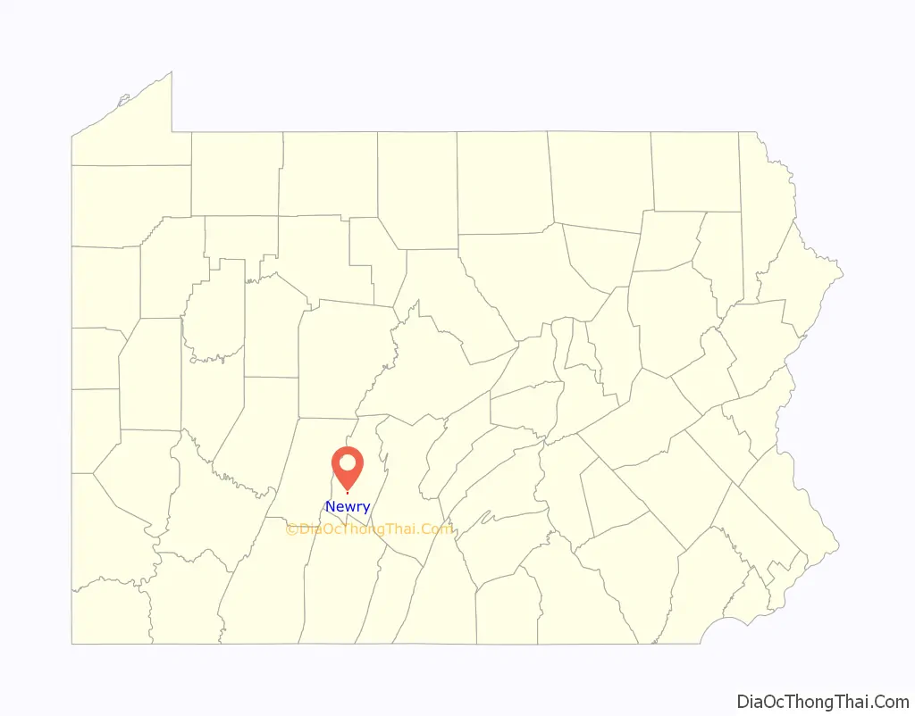
Newry location map. Where is Newry borough?
History
During the late 18th century, Patrick Cassidy, a native of Newry, Ireland and an American soldier in the American Revolutionary War, purchased three hundred acres of land in Huntingdon County, Pennsylvania. This is now known as Blair County. C. 1793, where he constructed a small town on the land, which he named for his home.
A half-century later, Newry flourished as the Allegheny Portage Railroad began to carry passengers from Hollidaysburg across the Alleghenies to Johnstown. Newry’s location made it a suitable stop for the railroad and this new influx of visitors stimulated the economy of the town. This prosperity lasted from the 1830s to the 1850s, when the railroad closed.
During the following century, the town decreased in population and quietly shifted from an urban to a rural center until the 1950s, when migration of Altoonans from the north began to increase the size of Newry and gave it a more suburban character.
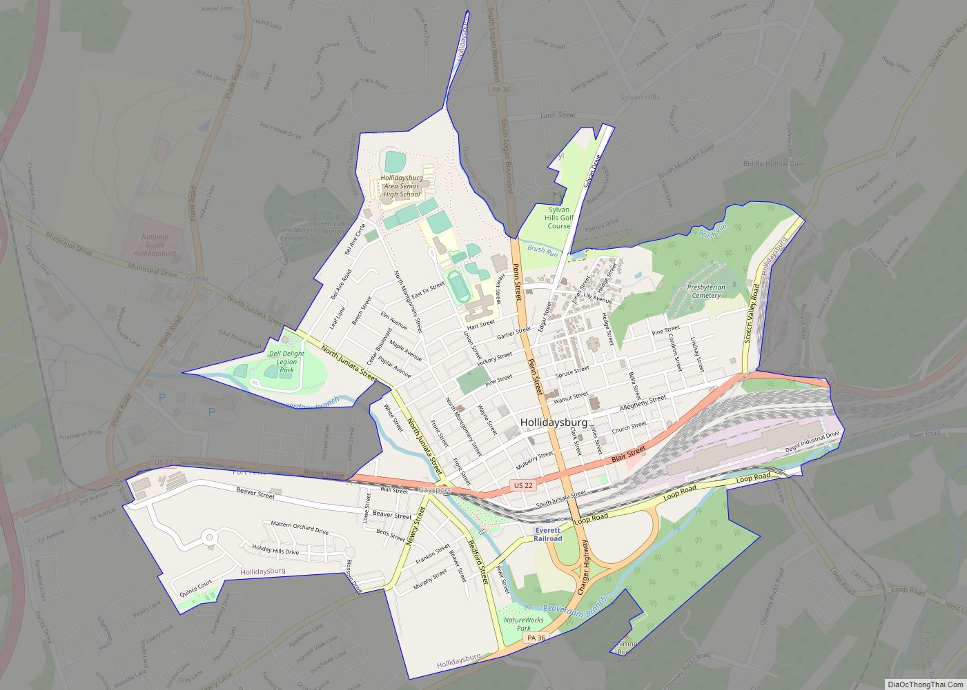
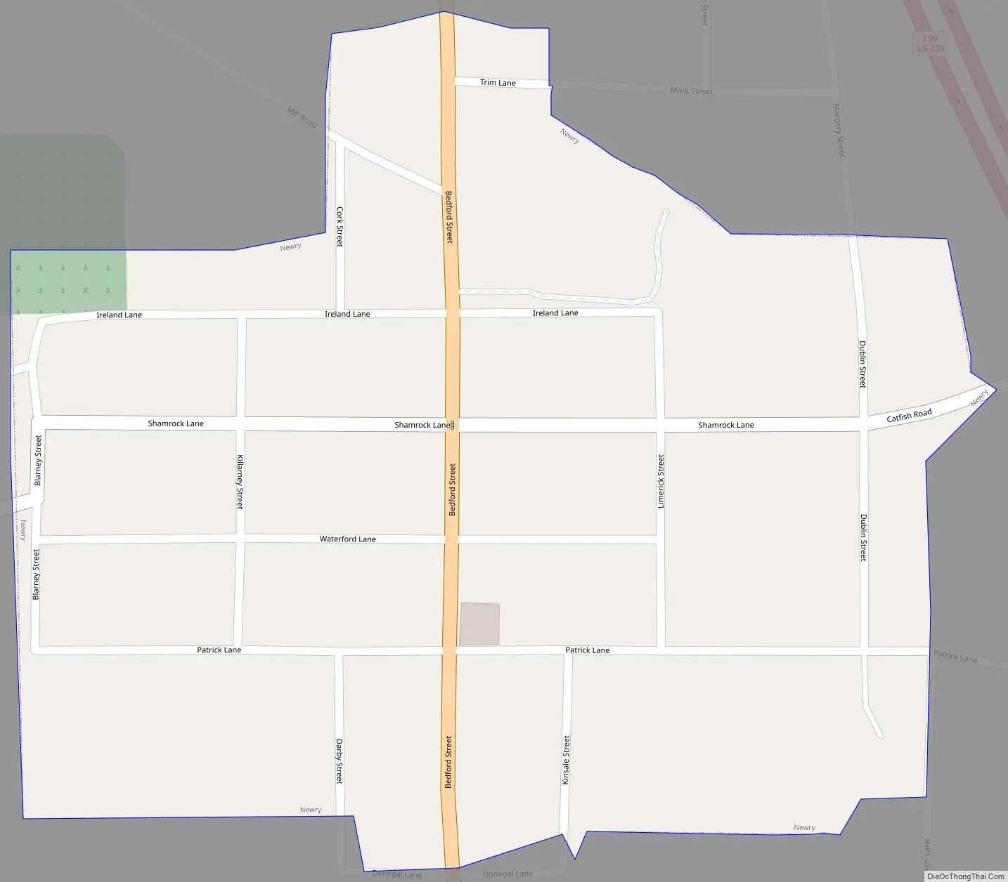
Newry Road Map
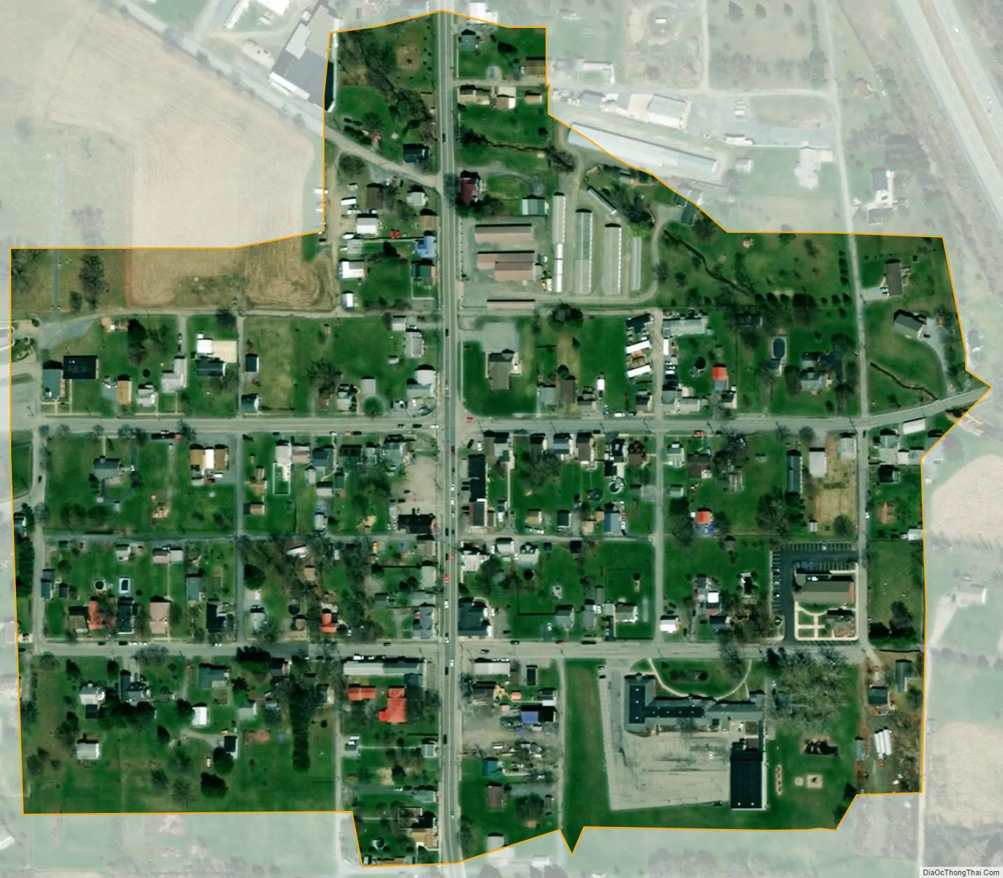
Newry city Satellite Map
Geography
Newry is located at 40°23′36″N 78°26′6″W / 40.39333°N 78.43500°W / 40.39333; -78.43500 (40.393223, -78.435085).
According to the United States Census Bureau, the borough has a total area of 0.1 square miles (0.26 km), all land.
South of Newry, the stream known as Poplar Run flows to the east towards the Frankstown Branch of the Juniata River.
See also
Map of Pennsylvania State and its subdivision:- Adams
- Allegheny
- Armstrong
- Beaver
- Bedford
- Berks
- Blair
- Bradford
- Bucks
- Butler
- Cambria
- Cameron
- Carbon
- Centre
- Chester
- Clarion
- Clearfield
- Clinton
- Columbia
- Crawford
- Cumberland
- Dauphin
- Delaware
- Elk
- Erie
- Fayette
- Forest
- Franklin
- Fulton
- Greene
- Huntingdon
- Indiana
- Jefferson
- Juniata
- Lackawanna
- Lancaster
- Lawrence
- Lebanon
- Lehigh
- Luzerne
- Lycoming
- Mc Kean
- Mercer
- Mifflin
- Monroe
- Montgomery
- Montour
- Northampton
- Northumberland
- Perry
- Philadelphia
- Pike
- Potter
- Schuylkill
- Snyder
- Somerset
- Sullivan
- Susquehanna
- Tioga
- Union
- Venango
- Warren
- Washington
- Wayne
- Westmoreland
- Wyoming
- York
- Alabama
- Alaska
- Arizona
- Arkansas
- California
- Colorado
- Connecticut
- Delaware
- District of Columbia
- Florida
- Georgia
- Hawaii
- Idaho
- Illinois
- Indiana
- Iowa
- Kansas
- Kentucky
- Louisiana
- Maine
- Maryland
- Massachusetts
- Michigan
- Minnesota
- Mississippi
- Missouri
- Montana
- Nebraska
- Nevada
- New Hampshire
- New Jersey
- New Mexico
- New York
- North Carolina
- North Dakota
- Ohio
- Oklahoma
- Oregon
- Pennsylvania
- Rhode Island
- South Carolina
- South Dakota
- Tennessee
- Texas
- Utah
- Vermont
- Virginia
- Washington
- West Virginia
- Wisconsin
- Wyoming