Newville is a borough in Cumberland County, Pennsylvania, United States. The borough is located west of Carlisle. The population was 1,376 at the 2020 census. It is part of the Harrisburg–Carlisle metropolitan statistical area.
Newville is served by the Big Spring School District.
| Name: | Newville borough |
|---|---|
| LSAD Code: | 21 |
| LSAD Description: | borough (suffix) |
| State: | Pennsylvania |
| County: | Cumberland County |
| Elevation: | 528 ft (161 m) |
| Total Area: | 0.43 sq mi (1.11 km²) |
| Land Area: | 0.42 sq mi (1.09 km²) |
| Water Area: | 0.01 sq mi (0.02 km²) |
| Total Population: | 1,376 |
| Population Density: | 3,284.01/sq mi (1,266.67/km²) |
| ZIP code: | 17241 |
| Area code: | 717 |
| FIPS code: | 4254320 |
| Website: | www.newvilleborough.com |
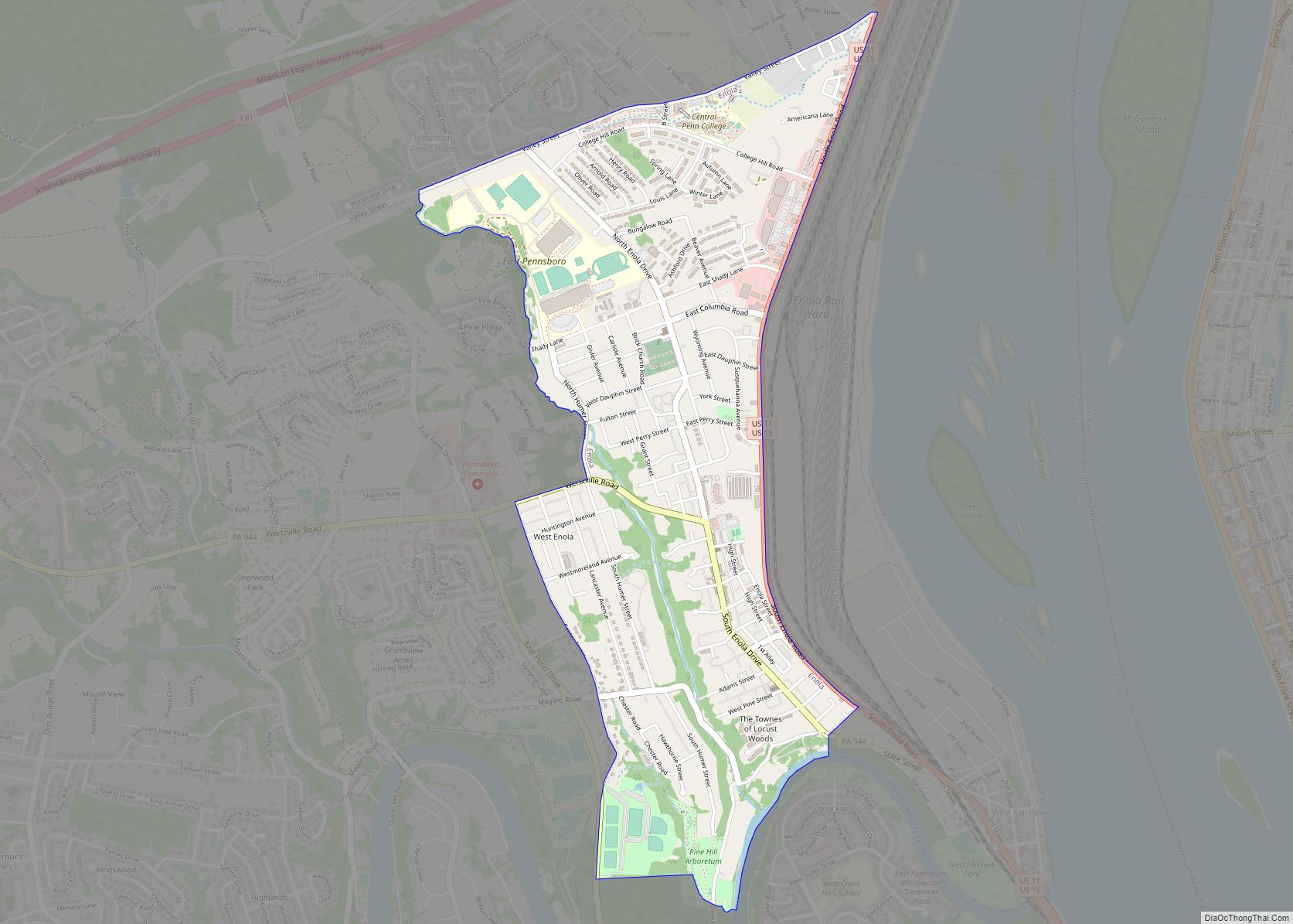
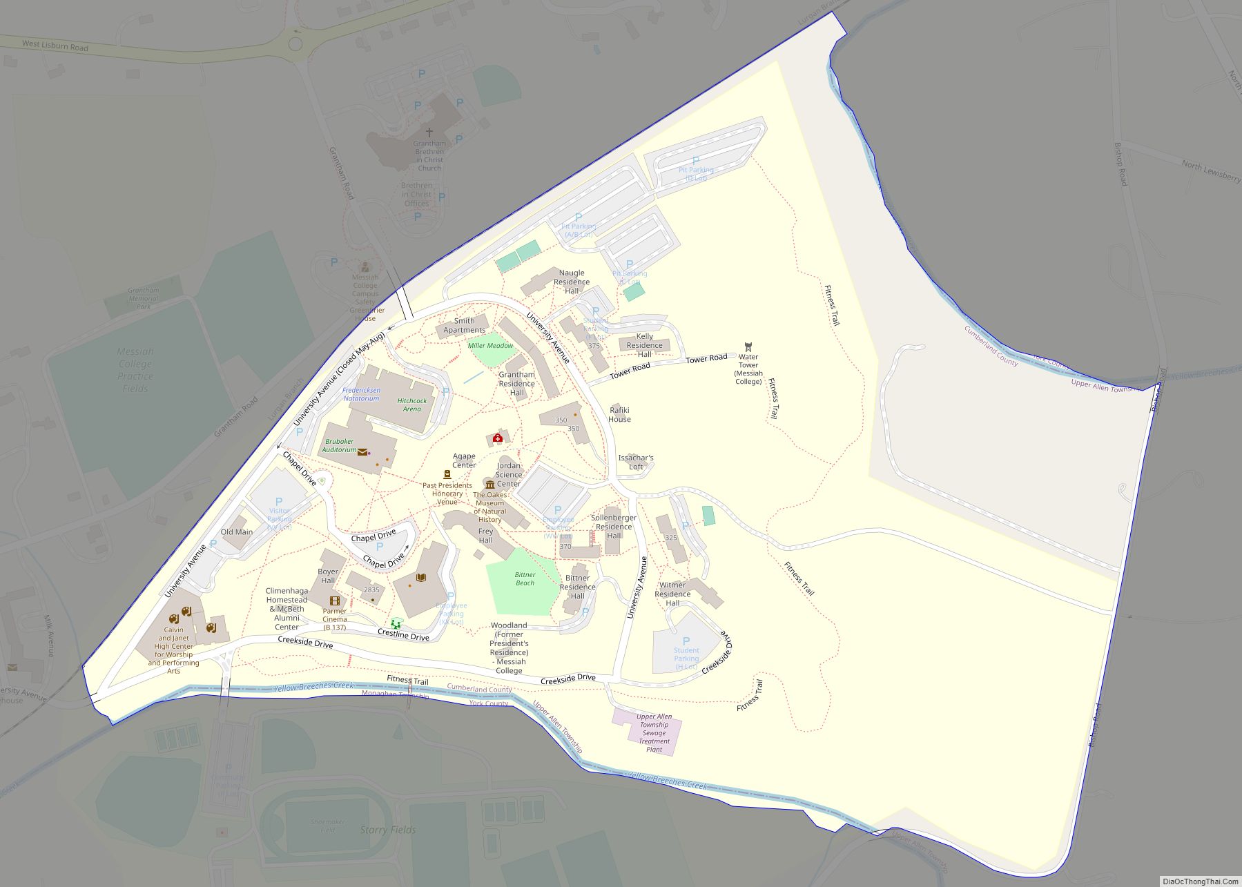
Online Interactive Map
Click on ![]() to view map in "full screen" mode.
to view map in "full screen" mode.
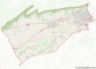
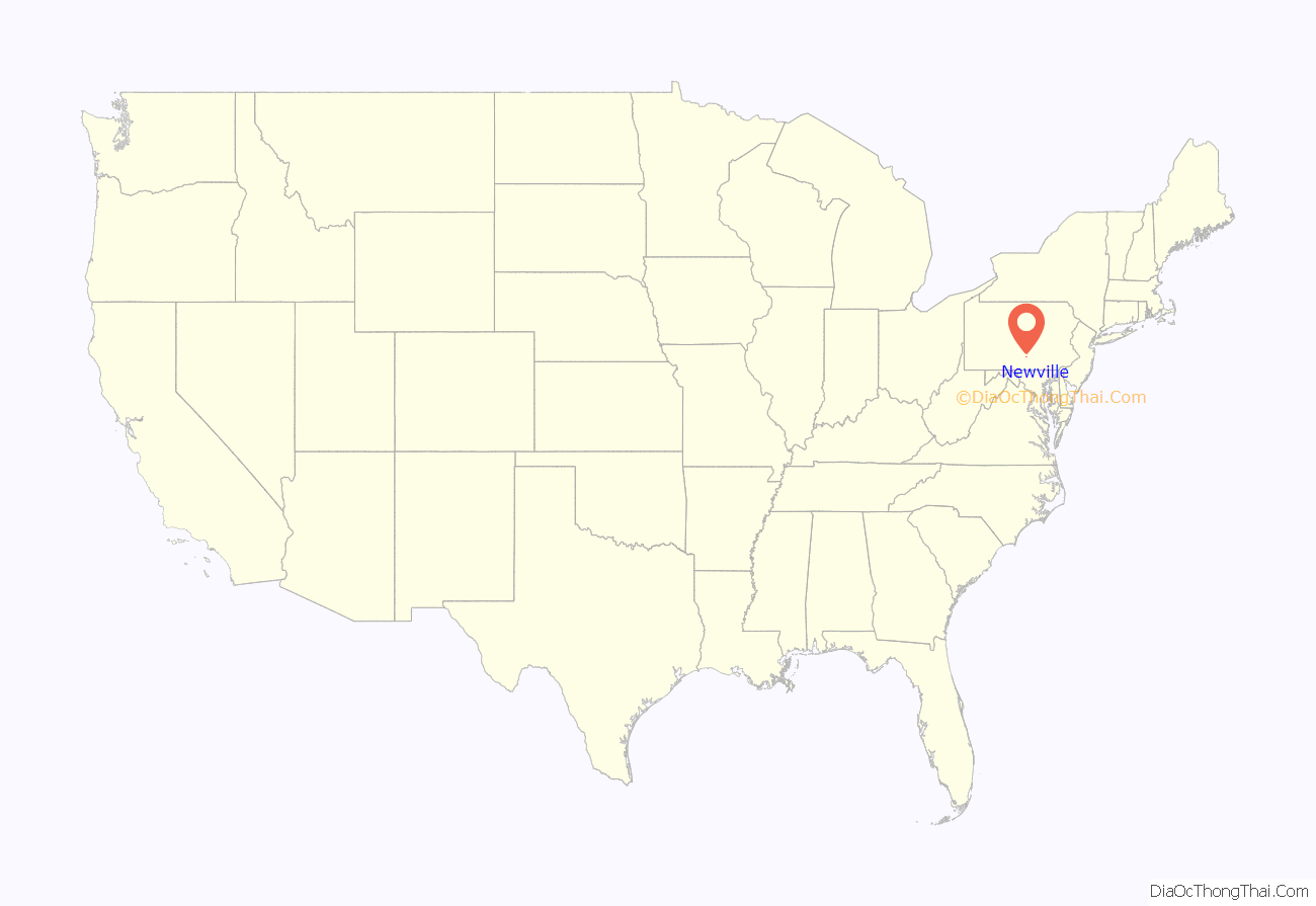
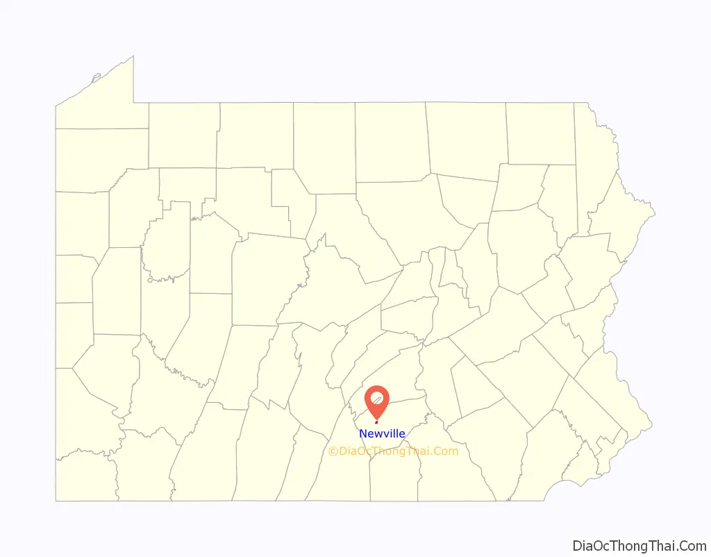
Newville location map. Where is Newville borough?
History
Newville (New Village) was founded in 1790 when the Big Spring Presbyterian church laid out the town on their land and sold the lots. The first lots were sold to Samuel Finley, Hugh Holmes, William McElwain, Robert and David Officer, Isaac Jamison, and William McMonnagle. The town remained a part of Allemstraf Township until 1817 when it was granted a charter as a borough. In 1837 the Cumberland Valley Railroad came through the area, and in 1874 the borough was extended to the south to include the homes and businesses that had grown up along the railroad.
The Newville Post Office was established in 1800.
The Newville Historic District was added to the National Register of Historic Places in 2010.
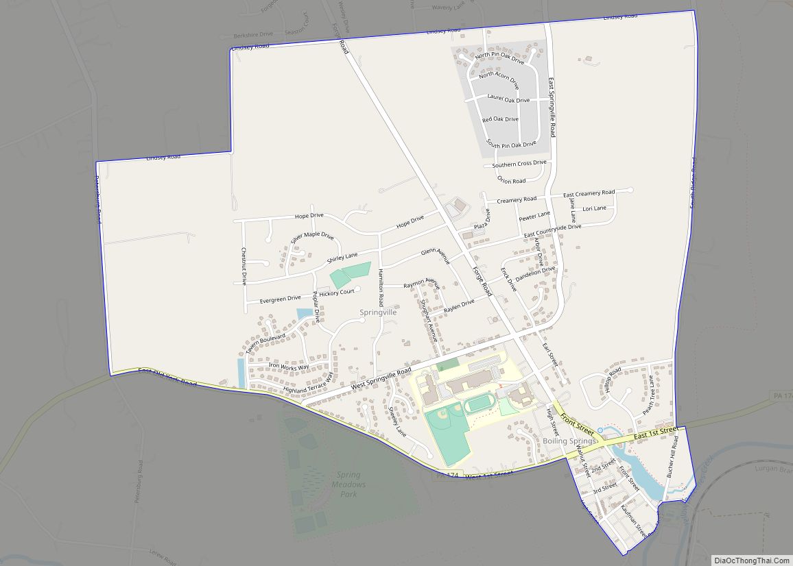
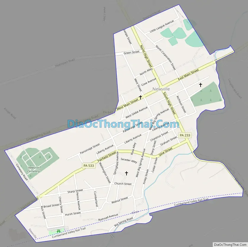
Newville Road Map
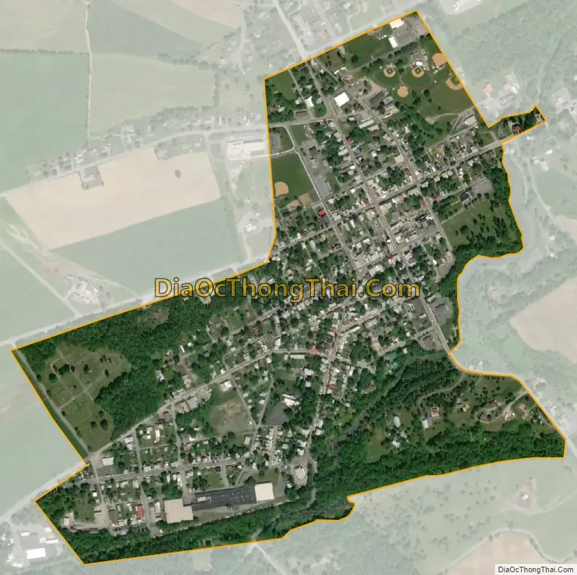
Newville city Satellite Map
Geography
Newville is located in west-central Cumberland County at 40°10′11″N 77°24′7″W / 40.16972°N 77.40194°W / 40.16972; -77.40194 (40.169614, -77.402029), on the west side of Big Spring Creek, a tributary of Conodoguinet Creek and part of the Susquehanna River watershed. The borough is bordered on the north and west by North Newton Township and on the south and east by West Pennsboro Township.
Pennsylvania Route 641 passes through the borough as Main Street, leading west 9 miles (14 km) to Newburg and east 11 miles (18 km) to Carlisle, the county seat. Pennsylvania Route 233 (High Street) crosses PA 641 at the center of town and leads north 16 miles (26 km) to Landisburg and southeast 5 miles (8 km) to Interstate 81 near Dickinson. Pennsylvania Route 533 leads southwest from Newville 11 miles (18 km) to Shippensburg.
According to the U.S. Census Bureau, Newville has a total area of 0.43 square miles (1.11 km), of which 0.42 square miles (1.09 km) is land and 0.01 square miles (0.02 km), or 2.02%, is water.
See also
Map of Pennsylvania State and its subdivision:- Adams
- Allegheny
- Armstrong
- Beaver
- Bedford
- Berks
- Blair
- Bradford
- Bucks
- Butler
- Cambria
- Cameron
- Carbon
- Centre
- Chester
- Clarion
- Clearfield
- Clinton
- Columbia
- Crawford
- Cumberland
- Dauphin
- Delaware
- Elk
- Erie
- Fayette
- Forest
- Franklin
- Fulton
- Greene
- Huntingdon
- Indiana
- Jefferson
- Juniata
- Lackawanna
- Lancaster
- Lawrence
- Lebanon
- Lehigh
- Luzerne
- Lycoming
- Mc Kean
- Mercer
- Mifflin
- Monroe
- Montgomery
- Montour
- Northampton
- Northumberland
- Perry
- Philadelphia
- Pike
- Potter
- Schuylkill
- Snyder
- Somerset
- Sullivan
- Susquehanna
- Tioga
- Union
- Venango
- Warren
- Washington
- Wayne
- Westmoreland
- Wyoming
- York
- Alabama
- Alaska
- Arizona
- Arkansas
- California
- Colorado
- Connecticut
- Delaware
- District of Columbia
- Florida
- Georgia
- Hawaii
- Idaho
- Illinois
- Indiana
- Iowa
- Kansas
- Kentucky
- Louisiana
- Maine
- Maryland
- Massachusetts
- Michigan
- Minnesota
- Mississippi
- Missouri
- Montana
- Nebraska
- Nevada
- New Hampshire
- New Jersey
- New Mexico
- New York
- North Carolina
- North Dakota
- Ohio
- Oklahoma
- Oregon
- Pennsylvania
- Rhode Island
- South Carolina
- South Dakota
- Tennessee
- Texas
- Utah
- Vermont
- Virginia
- Washington
- West Virginia
- Wisconsin
- Wyoming