Old Forge is a borough in Lackawanna County, Pennsylvania, United States. The population was 8,524 at the 2020 census. It is located 5 miles (8 km) southwest of downtown Scranton and 12 miles (19 km) northeast of Wilkes-Barre.
| Name: | Old Forge borough |
|---|---|
| LSAD Code: | 21 |
| LSAD Description: | borough (suffix) |
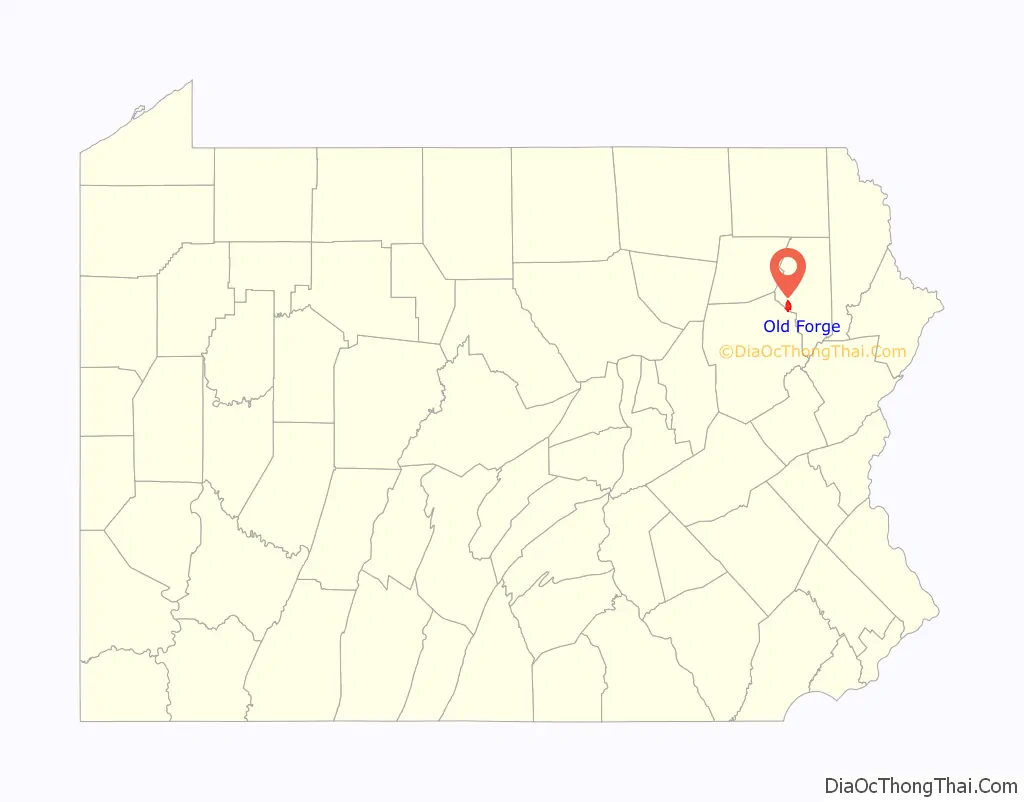
| State: | Pennsylvania |
| County: | Lackawanna County |
| Elevation: | 732 ft (223 m) |
| Total Area: | 3.43 sq mi (8.88 km²) |
| Land Area: | 3.43 sq mi (8.88 km²) |
| Water Area: | 0.00 sq mi (0.00 km²) |
| Total Population: | 8,497 |
| Population Density: | 2,479.43/sq mi (957.25/km²) |
| ZIP code: | 18518 |
| Area code: | 570 |
| FIPS code: | 4256576 |
| GNISfeature ID: | 1215326 |
| Website: | www.oldforgeborough.com |
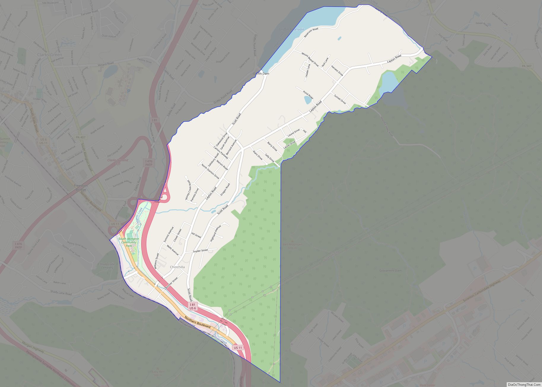
Online Interactive Map
Click on ![]() to view map in "full screen" mode.
to view map in "full screen" mode.
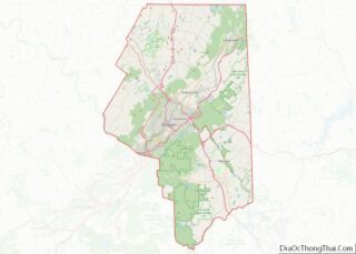
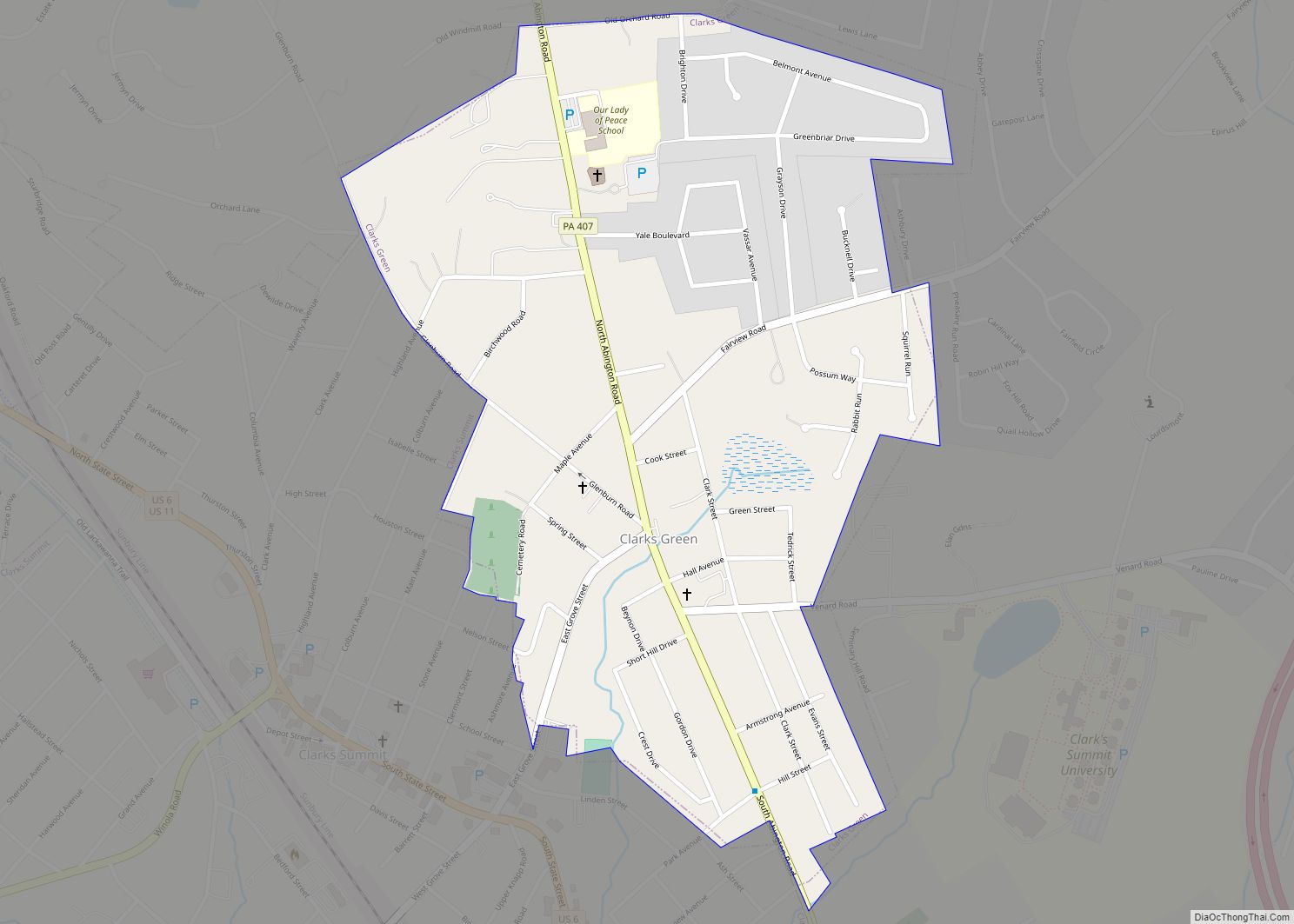
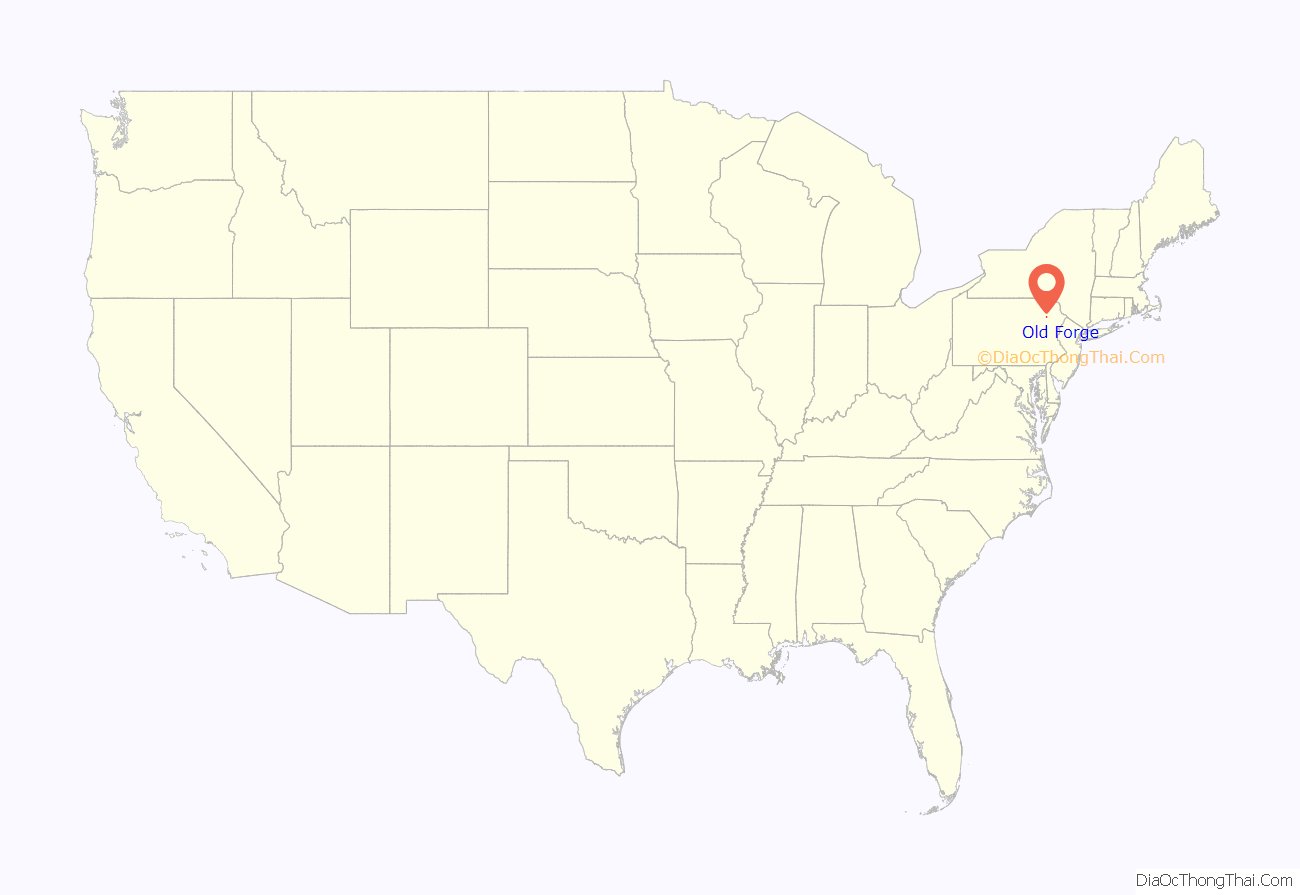
Old Forge location map. Where is Old Forge borough?
History
The history of Old Forge can be traced back to 1789 and Dr. William Smith, who was an army surgeon in the American Revolutionary War. During the 1820s, Charles Drake operated the only stagecoach inn between Wilkes-Barre and Carbondale. Drake’s son, Ebenezer, secured a post office for Old Forge in 1848, where he served as postmaster until 1885. On May 26, 1871, Old Forge Township was designated, as it previously had been part of Lackawanna Township. Old Forge Borough was incorporated on May 2, 1899.
Coal mining era
During the early part of the twentieth century, the borough’s main industry was anthracite coal mining along with a minor silk throwing industry. During the 1920s, the Dutchess Underwear Company came to Old Forge where many residents worked until the 1950s, when the company relocated to Georgia. It was during this time that the borough’s population reached an all-time high of over 14,000 residents. As a result of a major coal mining strike, many people left Old Forge and the population dropped to 12,661 according to the 1930 census.
The 1930s brought a new industry to the borough in that of textiles. This was an important addition to the industry of Old Forge during World War II. By the 1950s, the Maxson Corporation began operating its electronics factory, at one point employing as many as 1,000. The Knox Mine Disaster on January 22, 1959 virtually put an end to all anthracite coal mining in the area.
Pizza
Immigrants from Italy arrived in the early 1900s to work in the coal mines. Bob Mulkerin, the mayor of the town, explained that the immigration mostly came from Felitto, a mountain town in the Cilento National Park near Salerno. The Italian immigrants were treated poorly and often the subject of discrimination during this time period. Italian miners could take the pizza down into the mines for lunch and enjoy it cold. Old Forge style pizza was made popular by Nonna Ghigiarelli, who made it for regulars of her and her husband’s bar back in 1926. The 1960s saw the Butler Silk Mill and the Maxson Corp. close. The Gabriel Sporting Goods Company moved into a portion of the Maxson plant. Brooks Manufacturing was the major employer in town during this time. By the 1970s, though, Brooks was undergoing a major reduction in workforce and eventually closed in the 1980s to be replaced by its current tenant, King Coil Mattress Co.
The 1960s and 1970s saw the growth of what has become the borough’s trademark, the pizza business. The origins of selling pizza are believed to be rooted within the Ghigiarelli family, when Mrs. Ghigiarelli used to serve her homemade pizza to coal miners who gathered to play cards. This led to what is known as “Old Forge Pizza.” This pizza is typically rectangular in shape with a balanced sauce, and topped with a blend of cheeses – usually mozzarella and white American or mozzarella and mild cheddar – on a crispy thick crust. Old Forge style pizza is served at many restaurants in Northeastern Pennsylvania and as far away as Michigan, Florida, and Colorado.
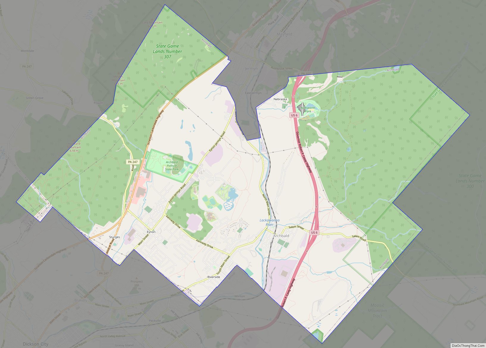
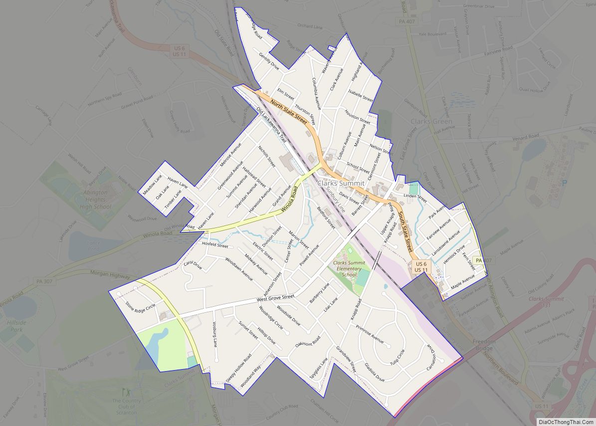
Old Forge Road Map
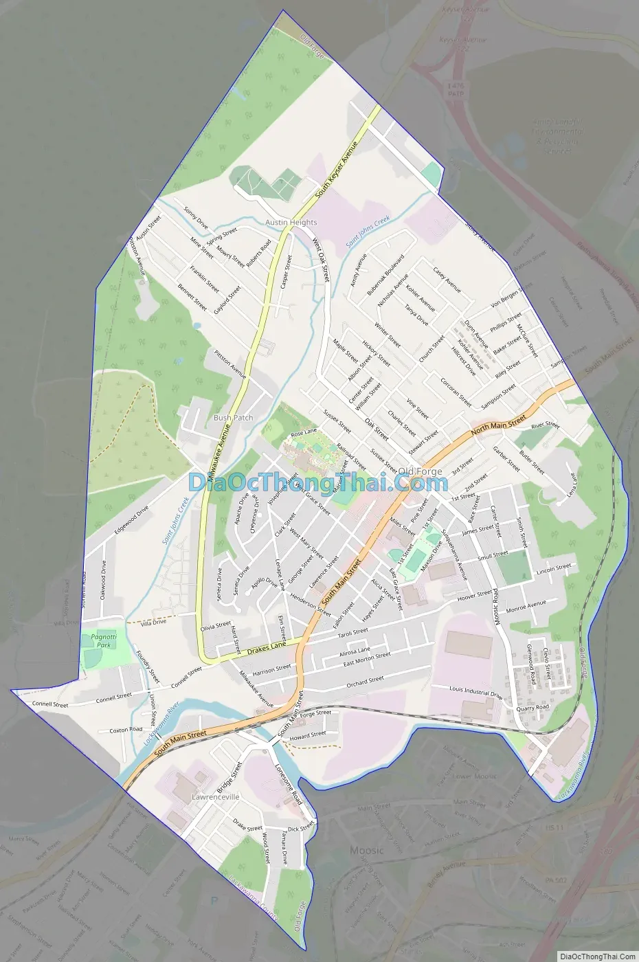
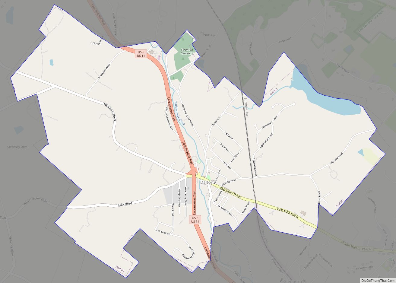
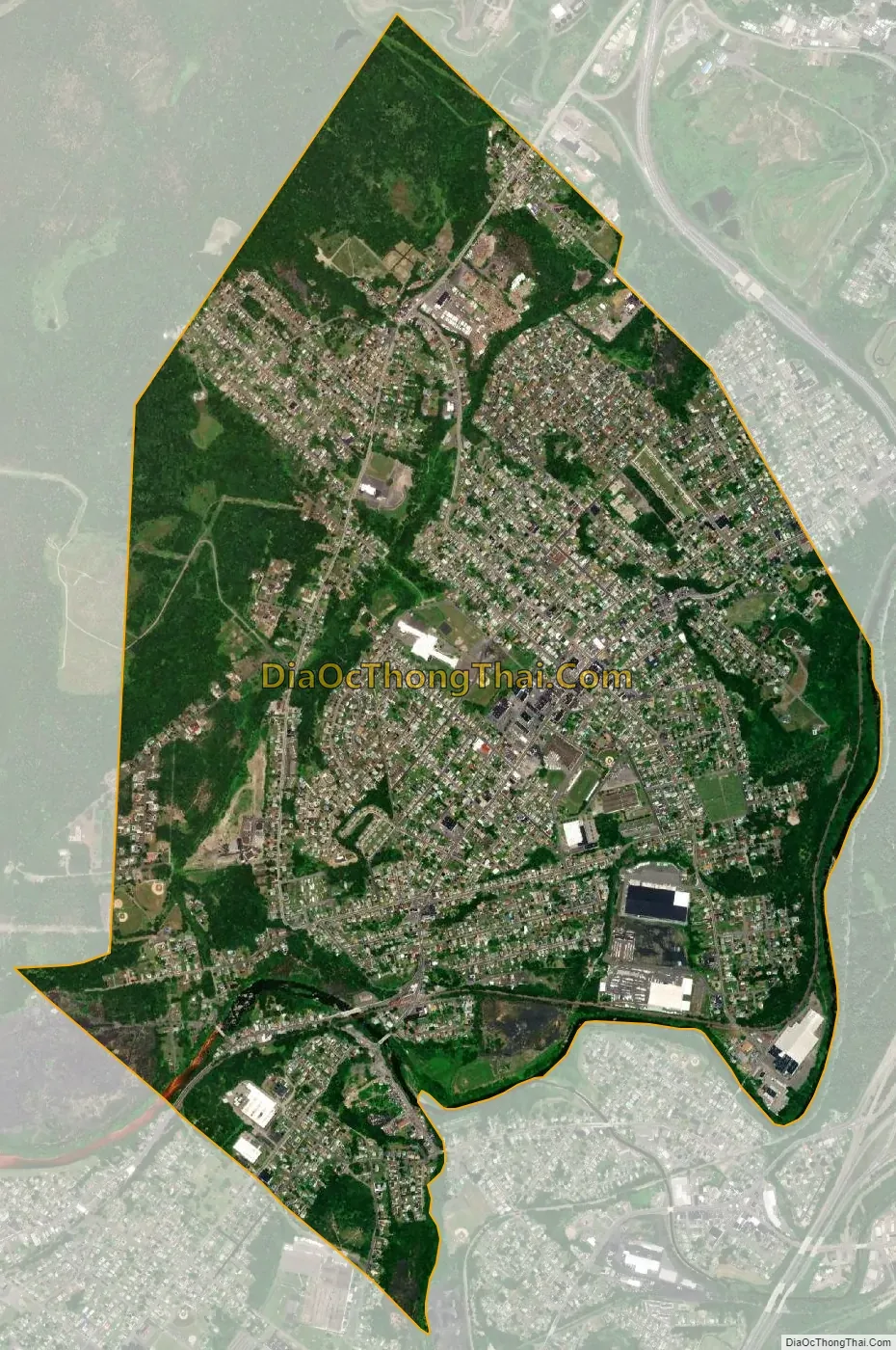
Old Forge city Satellite Map
Geography
Old Forge is located at 41°22′11″N 75°44′18″W / 41.36972°N 75.73833°W / 41.36972; -75.73833 (41.369679, −75.738297). The borough has a total area of 3.5 square miles (9.1 km), all of which is land. The major body of water flowing through the borough is the Lackawanna River, part of the Upper Susquehanna-Lackawanna Watershed. Acid mine drainage into the Lackawanna River from a borehole in Old Forge is the largest point source of pollution in the Chesapeake Bay watershed.
See also
Map of Pennsylvania State and its subdivision:- Adams
- Allegheny
- Armstrong
- Beaver
- Bedford
- Berks
- Blair
- Bradford
- Bucks
- Butler
- Cambria
- Cameron
- Carbon
- Centre
- Chester
- Clarion
- Clearfield
- Clinton
- Columbia
- Crawford
- Cumberland
- Dauphin
- Delaware
- Elk
- Erie
- Fayette
- Forest
- Franklin
- Fulton
- Greene
- Huntingdon
- Indiana
- Jefferson
- Juniata
- Lackawanna
- Lancaster
- Lawrence
- Lebanon
- Lehigh
- Luzerne
- Lycoming
- Mc Kean
- Mercer
- Mifflin
- Monroe
- Montgomery
- Montour
- Northampton
- Northumberland
- Perry
- Philadelphia
- Pike
- Potter
- Schuylkill
- Snyder
- Somerset
- Sullivan
- Susquehanna
- Tioga
- Union
- Venango
- Warren
- Washington
- Wayne
- Westmoreland
- Wyoming
- York
- Alabama
- Alaska
- Arizona
- Arkansas
- California
- Colorado
- Connecticut
- Delaware
- District of Columbia
- Florida
- Georgia
- Hawaii
- Idaho
- Illinois
- Indiana
- Iowa
- Kansas
- Kentucky
- Louisiana
- Maine
- Maryland
- Massachusetts
- Michigan
- Minnesota
- Mississippi
- Missouri
- Montana
- Nebraska
- Nevada
- New Hampshire
- New Jersey
- New Mexico
- New York
- North Carolina
- North Dakota
- Ohio
- Oklahoma
- Oregon
- Pennsylvania
- Rhode Island
- South Carolina
- South Dakota
- Tennessee
- Texas
- Utah
- Vermont
- Virginia
- Washington
- West Virginia
- Wisconsin
- Wyoming