Paxtang is a borough in Dauphin County, Pennsylvania, United States. As of the 2020 census it had a population of 1,640. The borough is a suburb of Harrisburg and is one of the earliest colonial settlements in South Central Pennsylvania.
| Name: | Paxtang borough |
|---|---|
| LSAD Code: | 21 |
| LSAD Description: | borough (suffix) |
| State: | Pennsylvania |
| County: | Dauphin County |
| Incorporated: | 1914 |
| Elevation: | 371 ft (113 m) |
| Total Area: | 0.41 sq mi (1.05 km²) |
| Land Area: | 0.41 sq mi (1.05 km²) |
| Water Area: | 0.00 sq mi (0.00 km²) |
| Total Population: | 1,648 |
| Population Density: | 4,059.11/sq mi (1,567.86/km²) |
| ZIP code: | 17111 |
| Area code: | 717 |
| FIPS code: | 4258504 |
| Website: | www.paxtang.org |
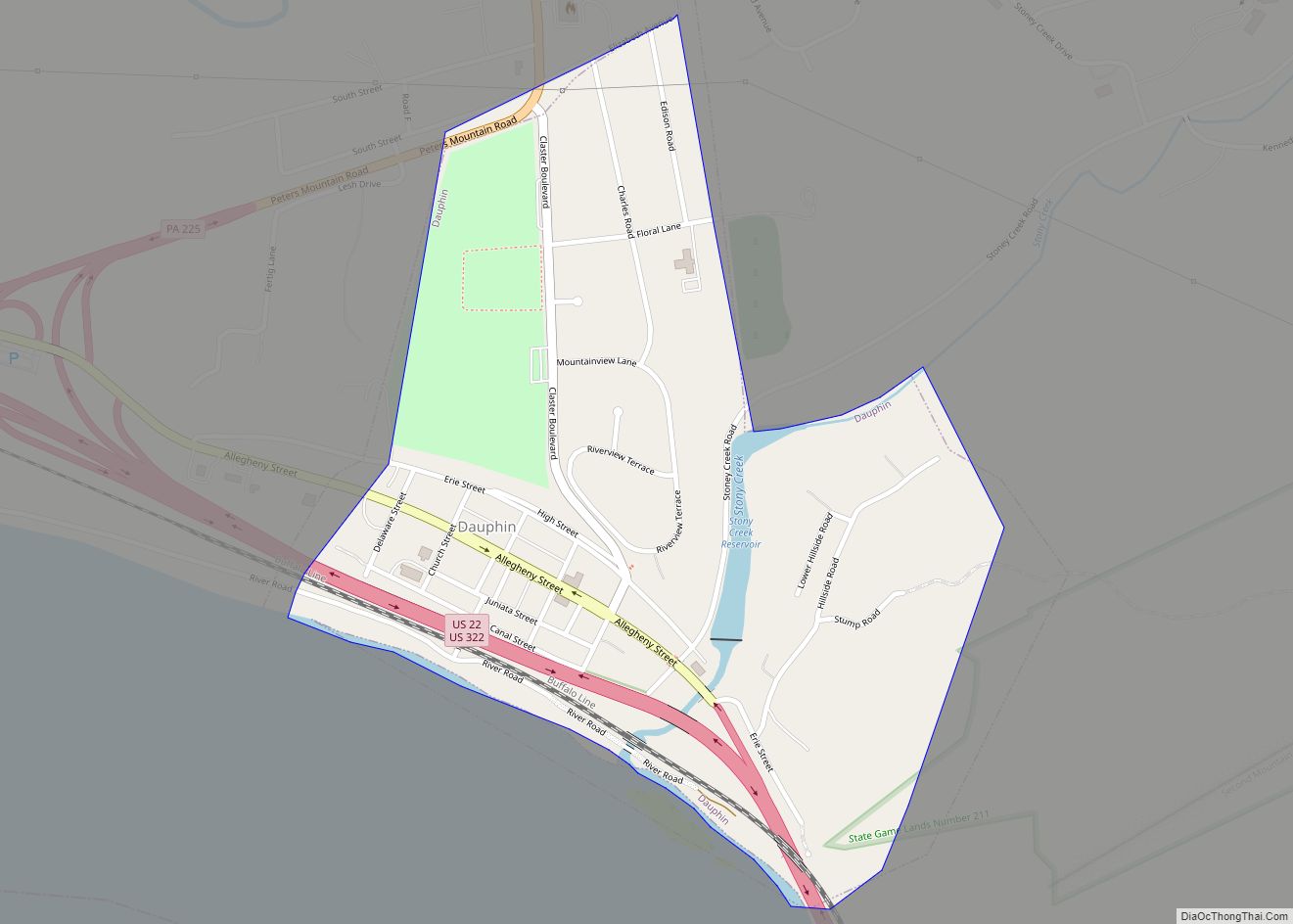
Online Interactive Map
Click on ![]() to view map in "full screen" mode.
to view map in "full screen" mode.
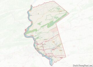
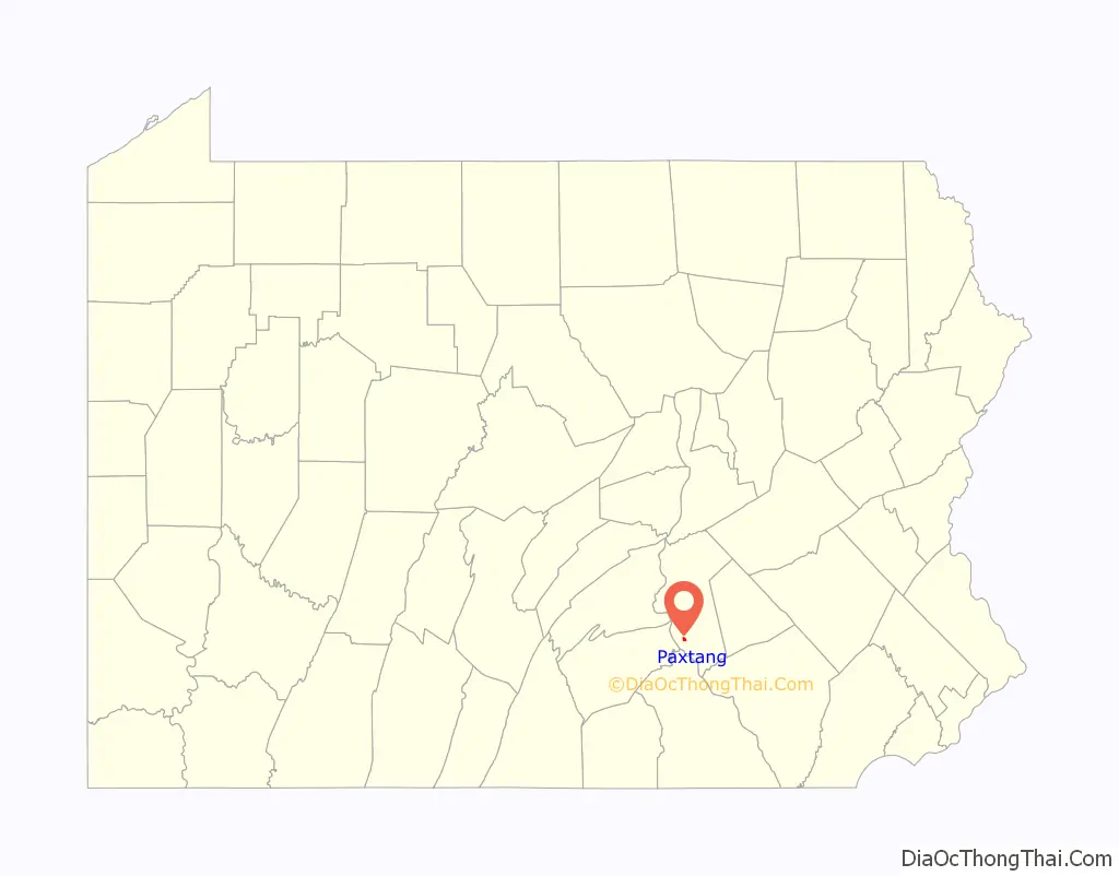
Paxtang location map. Where is Paxtang borough?

History
Paxtang dates to the 18th century when Euro-Americans settled at the site of the Shawnee-Lenape village of Peshtank.Peshtank means “still waters”. Several important trails and routes crossed the area. William Penn purchased the area known as Paxtang, or “Paxton”. A license document dated 15 October 1714 grants Peter Bisaillon 250 acres of land “at Peshtang or any other Indian Town or Place on Sasquehannah within this Province,” with permission to build any necessary buildings “during his Trade there or till further.”
Paxtang is the site where Presbyterian Scots-Irish frontiersmen organized the Paxton Boys, a vigilante group that murdered twenty Native Americans in the Conestoga Massacre. On December 14, 1763, more than 50 Paxton Boys rode to the settlement near Millersville, Pennsylvania, murdered six Natives, and burned their cabin. Governor John Penn placed the remaining fourteen Conestogas in protective custody in Lancaster, but the Paxton Boys broke in, killed, and mutilated all fourteen people on December 27, 1763. In January 1764, 140 Natives living peacefully in eastern Pennsylvania fled to Philadelphia for protection. The Paxton Boys marched on Philadelphia in January 1764 with about 250 men. British troops and Philadelphia militia prevented them from doing more violence.
Old Paxton Church
Paxtang is home to the Old Paxton Church, one of the earliest in the area. Built in 1740, the church is the oldest Presbyterian Church building in continuous use in Pennsylvania, and the second oldest in the United States. In 1726, the Rev. James Anderson of Donegal, Pennsylvania, became the first regular preacher. The history of the church is interwoven with the history of central colonial Pennsylvania.
In 1732, the congregation was officially organized as a Presbyterian Church by the Presbytery of Donegal, with the Rev. William Bertram as the first installed pastor. The Rev. John Elder, the “Fighting Parson,” became pastor in 1738. He was pastor during the French and Indian War and Revolutionary War, and served as a commissioned officer. Many of the church’s pastors have served long pastorates; the terms of four of its ministers total 140 years.
The present stone sanctuary was erected in 1740, replacing a log meeting house which had previously served as the place of worship. A stone marker south of the sanctuary indicates the site of the log building. A replica of the log meeting house was erected north of the present sanctuary.
Adjacent to the church is a historic cemetery. Here lie the bodies of soldiers of the French and Indian War, the Revolutionary War, the Civil War, and both World Wars. People who molded the early religious and political character of America are buried here, including John Harris II, William Maclay, the first United States senator from Pennsylvania, and four of the six commissioners who planned the town of Harrisburg with him in 1785. Ministers, legislators, farmers, teachers, men of affairs, and enslaved African Americans are buried here.
For detailed information about the church, a 200-page book A History of Paxton Church, written by the Pastor Emeritus Morton Glise, is available for purchase from the church.
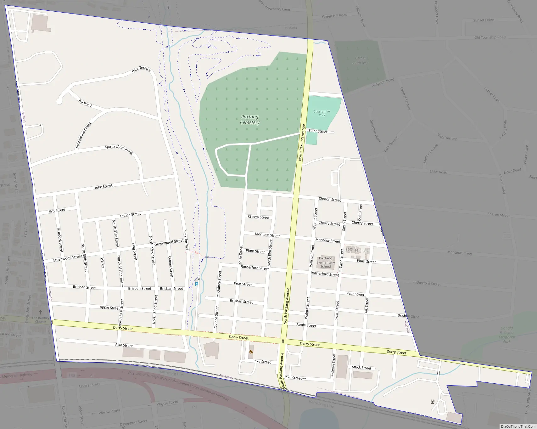
Paxtang Road Map
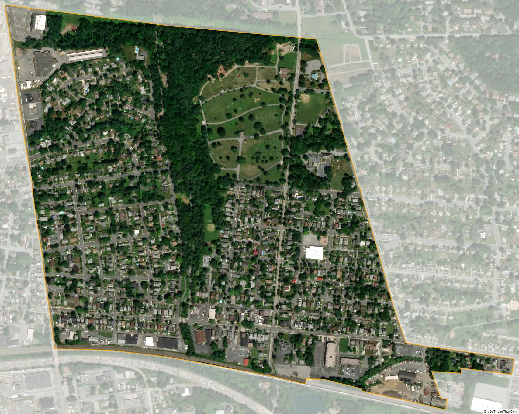
Paxtang city Satellite Map
Geography
Paxtang is located in southern Dauphin County at 40°15′39″N 76°50′2″W / 40.26083°N 76.83389°W / 40.26083; -76.83389 (40.260760, -76.833782). It is bordered to the west by the city of Harrisburg.
According to the United States Census Bureau, the borough has a total area of 0.41 square miles (1.05 km), all land.
See also
Map of Pennsylvania State and its subdivision:- Adams
- Allegheny
- Armstrong
- Beaver
- Bedford
- Berks
- Blair
- Bradford
- Bucks
- Butler
- Cambria
- Cameron
- Carbon
- Centre
- Chester
- Clarion
- Clearfield
- Clinton
- Columbia
- Crawford
- Cumberland
- Dauphin
- Delaware
- Elk
- Erie
- Fayette
- Forest
- Franklin
- Fulton
- Greene
- Huntingdon
- Indiana
- Jefferson
- Juniata
- Lackawanna
- Lancaster
- Lawrence
- Lebanon
- Lehigh
- Luzerne
- Lycoming
- Mc Kean
- Mercer
- Mifflin
- Monroe
- Montgomery
- Montour
- Northampton
- Northumberland
- Perry
- Philadelphia
- Pike
- Potter
- Schuylkill
- Snyder
- Somerset
- Sullivan
- Susquehanna
- Tioga
- Union
- Venango
- Warren
- Washington
- Wayne
- Westmoreland
- Wyoming
- York
- Alabama
- Alaska
- Arizona
- Arkansas
- California
- Colorado
- Connecticut
- Delaware
- District of Columbia
- Florida
- Georgia
- Hawaii
- Idaho
- Illinois
- Indiana
- Iowa
- Kansas
- Kentucky
- Louisiana
- Maine
- Maryland
- Massachusetts
- Michigan
- Minnesota
- Mississippi
- Missouri
- Montana
- Nebraska
- Nevada
- New Hampshire
- New Jersey
- New Mexico
- New York
- North Carolina
- North Dakota
- Ohio
- Oklahoma
- Oregon
- Pennsylvania
- Rhode Island
- South Carolina
- South Dakota
- Tennessee
- Texas
- Utah
- Vermont
- Virginia
- Washington
- West Virginia
- Wisconsin
- Wyoming