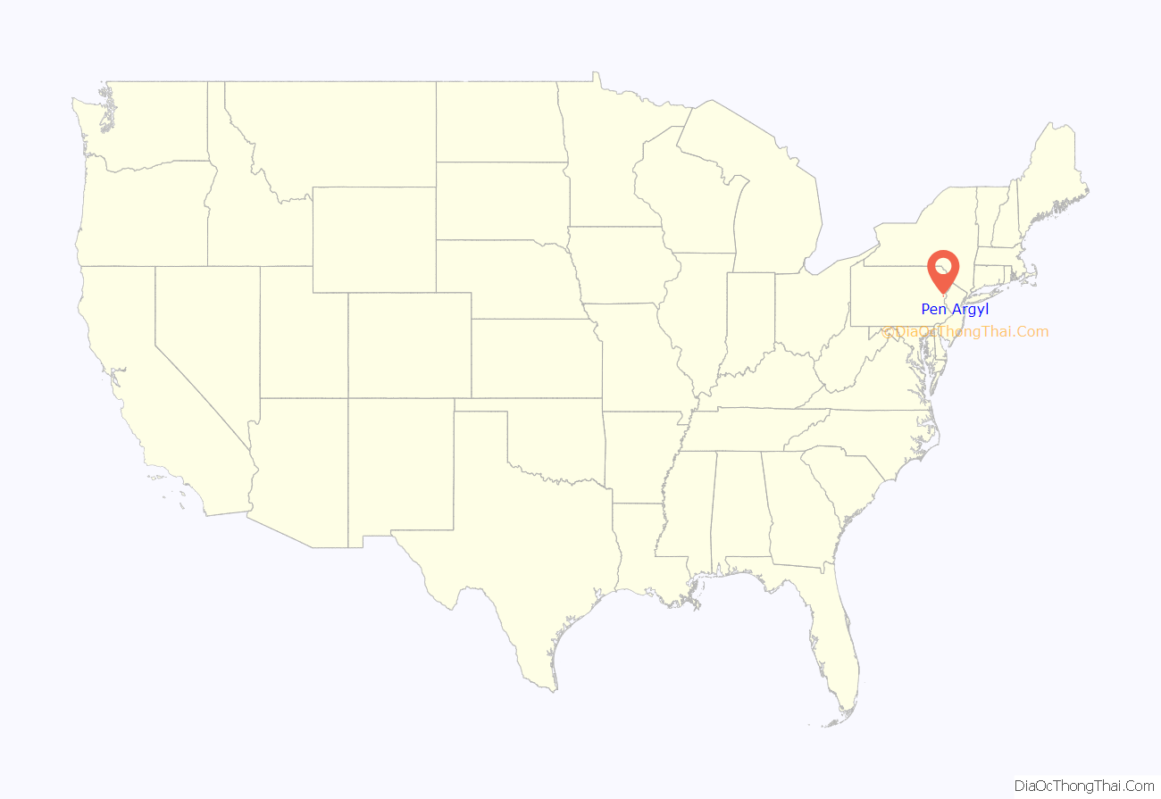
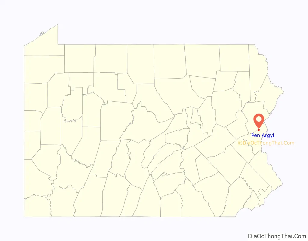
Pen Argyl (/pɛn ɑːrdʒɪl/; Pennsylvania Dutch: Kleiberg) is a borough in Northampton County, Pennsylvania. The borough’s population was 3,510 as of the 2020 census.
Pen Argyl is located 26 miles (42 km) north of Allentown. It is part of the Lehigh Valley metropolitan area, which had a population of 861,899 and was the 68th most populous metropolitan area in the U.S. as of the 2020 census.
| Name: | Pen Argyl borough |
|---|---|
| LSAD Code: | 21 |
| LSAD Description: | borough (suffix) |
| State: | Pennsylvania |
| County: | Northampton County |
| Incorporated: | 1882 |
| Elevation: | 781 ft (238 m) |
| Land Area: | 1.34 sq mi (3.48 km²) |
| Water Area: | 0.05 sq mi (0.13 km²) |
| Population Density: | 2,615.50/sq mi (1,009.58/km²) |
| ZIP code: | 18072 |
| FIPS code: | 4258696 |
| Website: | penargylborough.com |
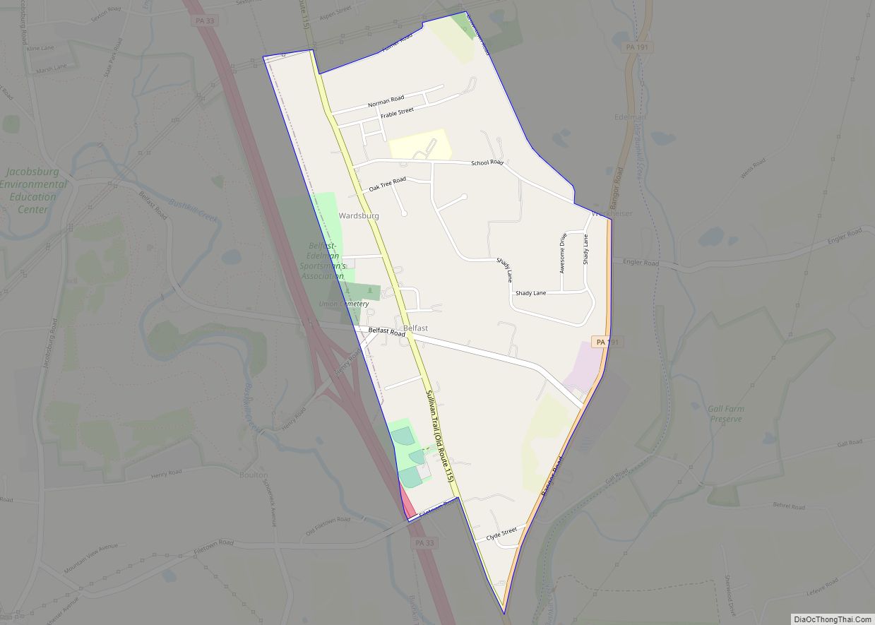
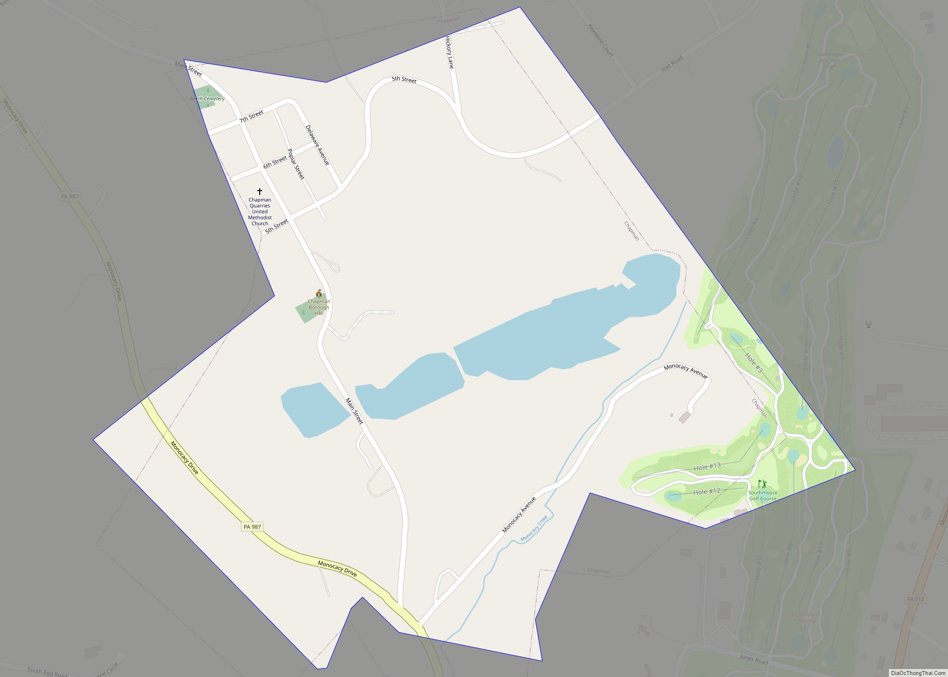
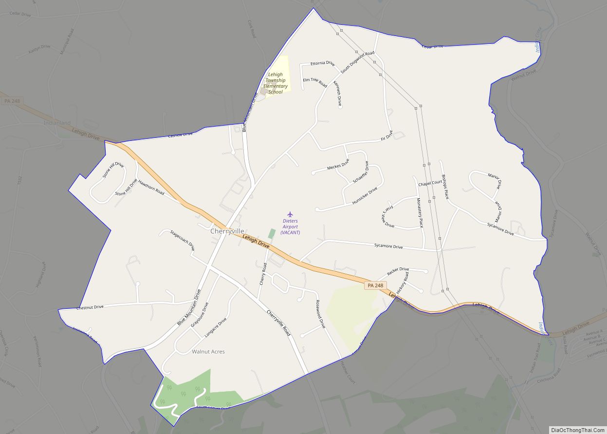
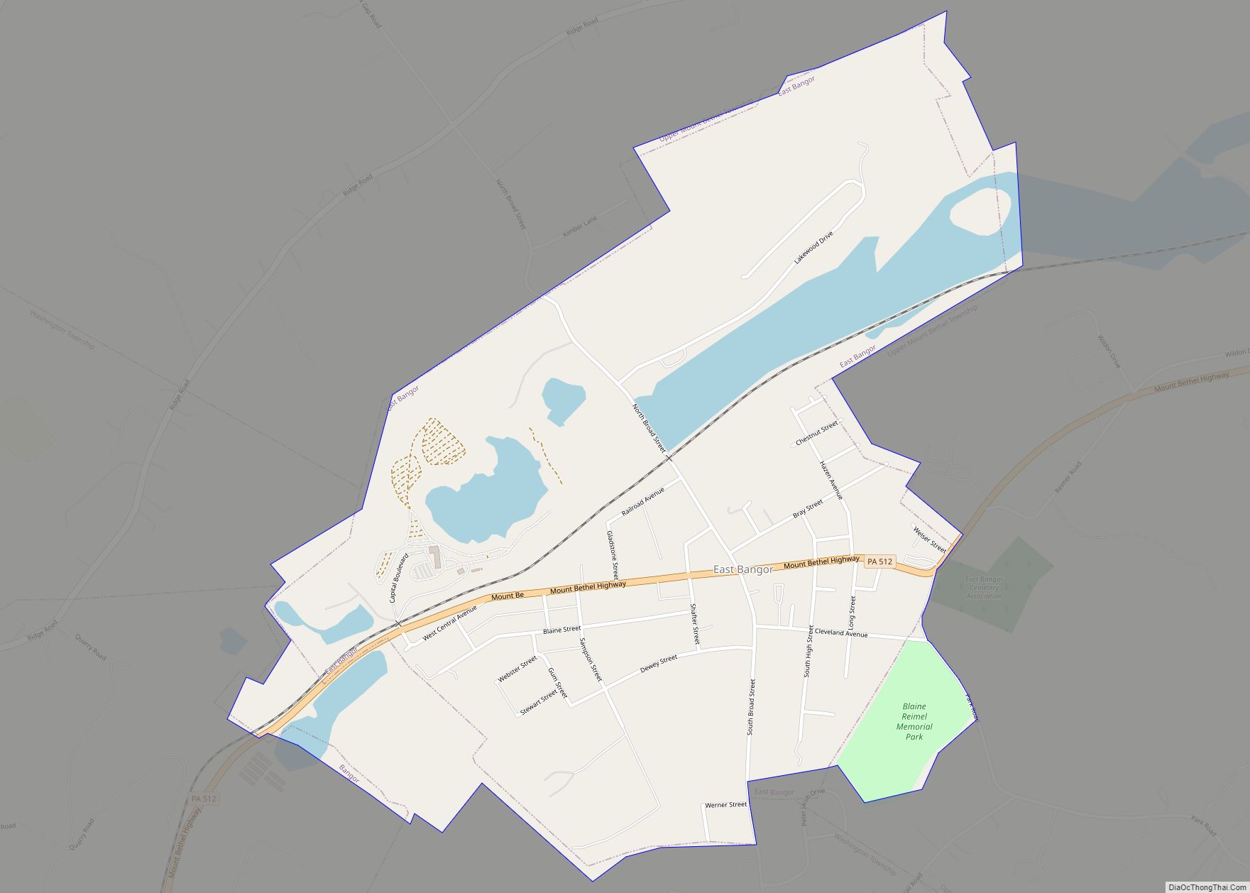
Online Interactive Map
Click on ![]() to view map in "full screen" mode.
to view map in "full screen" mode.
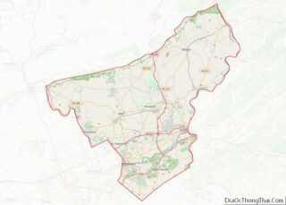
Pen Argyl location map. Where is Pen Argyl borough?
History
In 1853, Joseph Kellow discovered slate in the surrounding area, coining what is now known as the Slate Belt community. The name Pen Argyl originated from the Cornish name meaning “head” and the Anglo-Saxon name of Slate Rock, meaning “argylite”. With the surge of quarrymen from Cornwall and England, the town expanded. Today, there is still one slate quarry in operation. Pen Argyl was once home to Lehigh and New England Railroad’s main freight yard and maintenance complex. The railroad’s roundhouse and shop building still stand just west of town along Pennsylvania Ave.
Pen Argyl Road Map
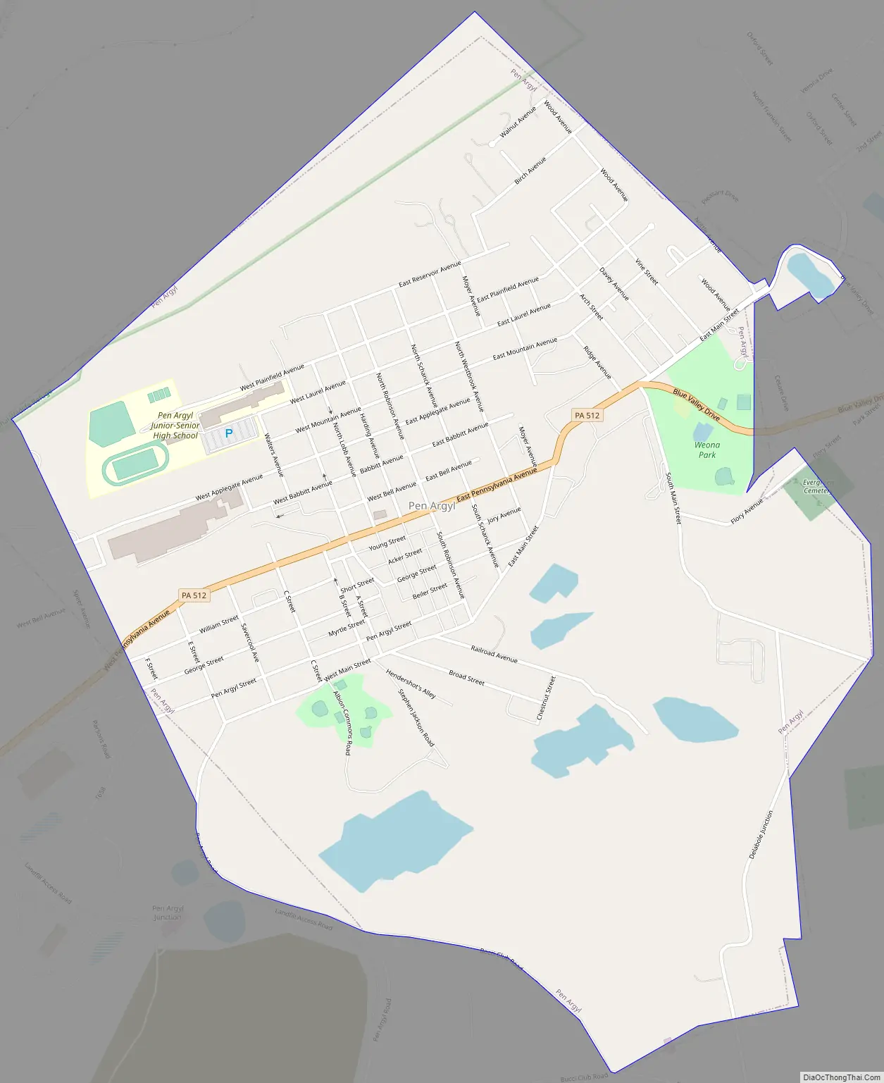
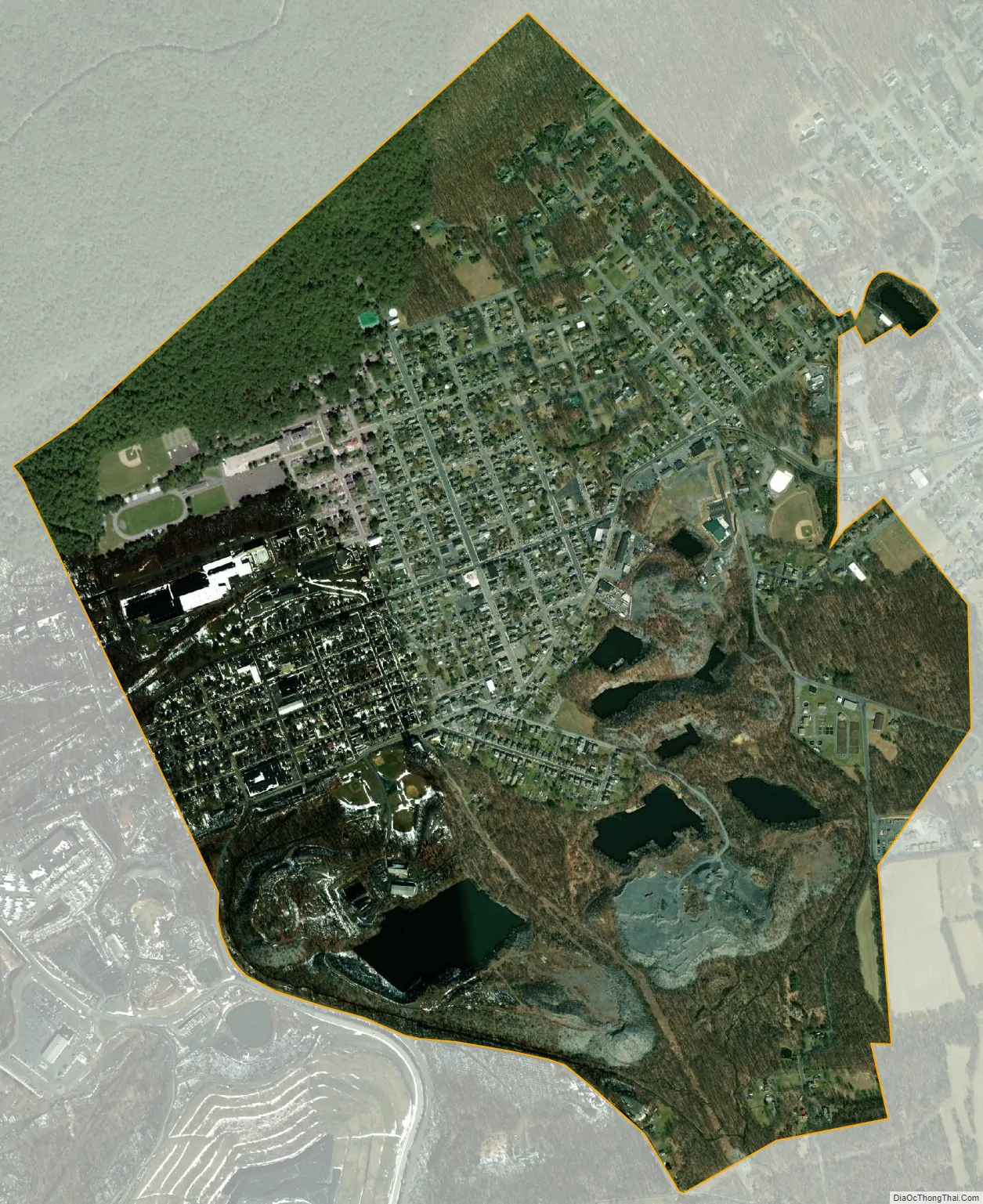
Pen Argyl city Satellite Map
Geography
According to the U.S. Census Bureau, the borough has a total area of 1.4 square miles (3.6 km), of which 0.71% is water.
See also
Map of Pennsylvania State and its subdivision:- Adams
- Allegheny
- Armstrong
- Beaver
- Bedford
- Berks
- Blair
- Bradford
- Bucks
- Butler
- Cambria
- Cameron
- Carbon
- Centre
- Chester
- Clarion
- Clearfield
- Clinton
- Columbia
- Crawford
- Cumberland
- Dauphin
- Delaware
- Elk
- Erie
- Fayette
- Forest
- Franklin
- Fulton
- Greene
- Huntingdon
- Indiana
- Jefferson
- Juniata
- Lackawanna
- Lancaster
- Lawrence
- Lebanon
- Lehigh
- Luzerne
- Lycoming
- Mc Kean
- Mercer
- Mifflin
- Monroe
- Montgomery
- Montour
- Northampton
- Northumberland
- Perry
- Philadelphia
- Pike
- Potter
- Schuylkill
- Snyder
- Somerset
- Sullivan
- Susquehanna
- Tioga
- Union
- Venango
- Warren
- Washington
- Wayne
- Westmoreland
- Wyoming
- York
- Alabama
- Alaska
- Arizona
- Arkansas
- California
- Colorado
- Connecticut
- Delaware
- District of Columbia
- Florida
- Georgia
- Hawaii
- Idaho
- Illinois
- Indiana
- Iowa
- Kansas
- Kentucky
- Louisiana
- Maine
- Maryland
- Massachusetts
- Michigan
- Minnesota
- Mississippi
- Missouri
- Montana
- Nebraska
- Nevada
- New Hampshire
- New Jersey
- New Mexico
- New York
- North Carolina
- North Dakota
- Ohio
- Oklahoma
- Oregon
- Pennsylvania
- Rhode Island
- South Carolina
- South Dakota
- Tennessee
- Texas
- Utah
- Vermont
- Virginia
- Washington
- West Virginia
- Wisconsin
- Wyoming