Penndel is a borough in Bucks County, Pennsylvania, United States. The population was 2,328 at the 2010 census.
| Name: | Penndel borough |
|---|---|
| LSAD Code: | 21 |
| LSAD Description: | borough (suffix) |
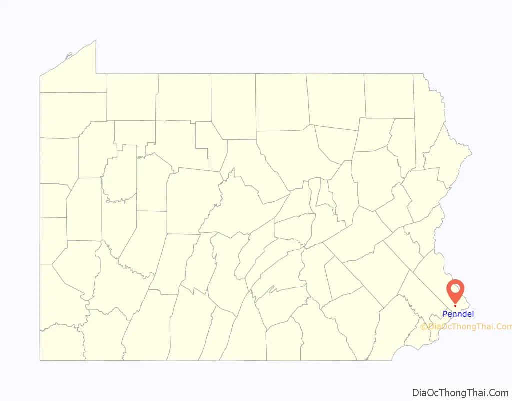
| State: | Pennsylvania |
| County: | Bucks County |
| Founded: | June 22, 1899 |
| Elevation: | 105 ft (32 m) |
| Total Area: | 0.42 sq mi (1.08 km²) |
| Land Area: | 0.42 sq mi (1.08 km²) |
| Water Area: | 0.00 sq mi (0.00 km²) |
| Total Population: | 2,515 |
| Population Density: | 6,016.75/sq mi (2,324.52/km²) |
| ZIP code: | 19047 |
| FIPS code: | 4258936 |
| Website: | www.penndelboro.com |
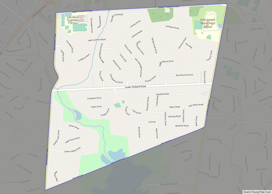
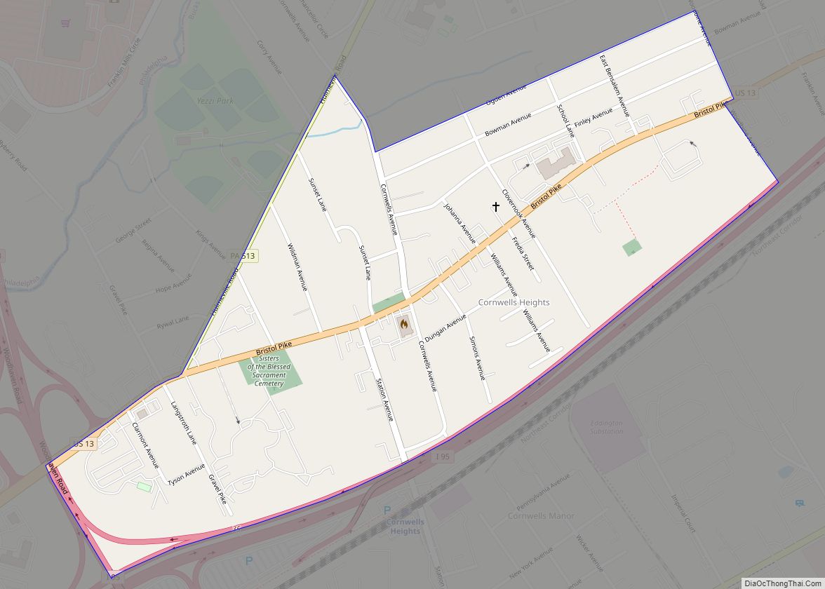
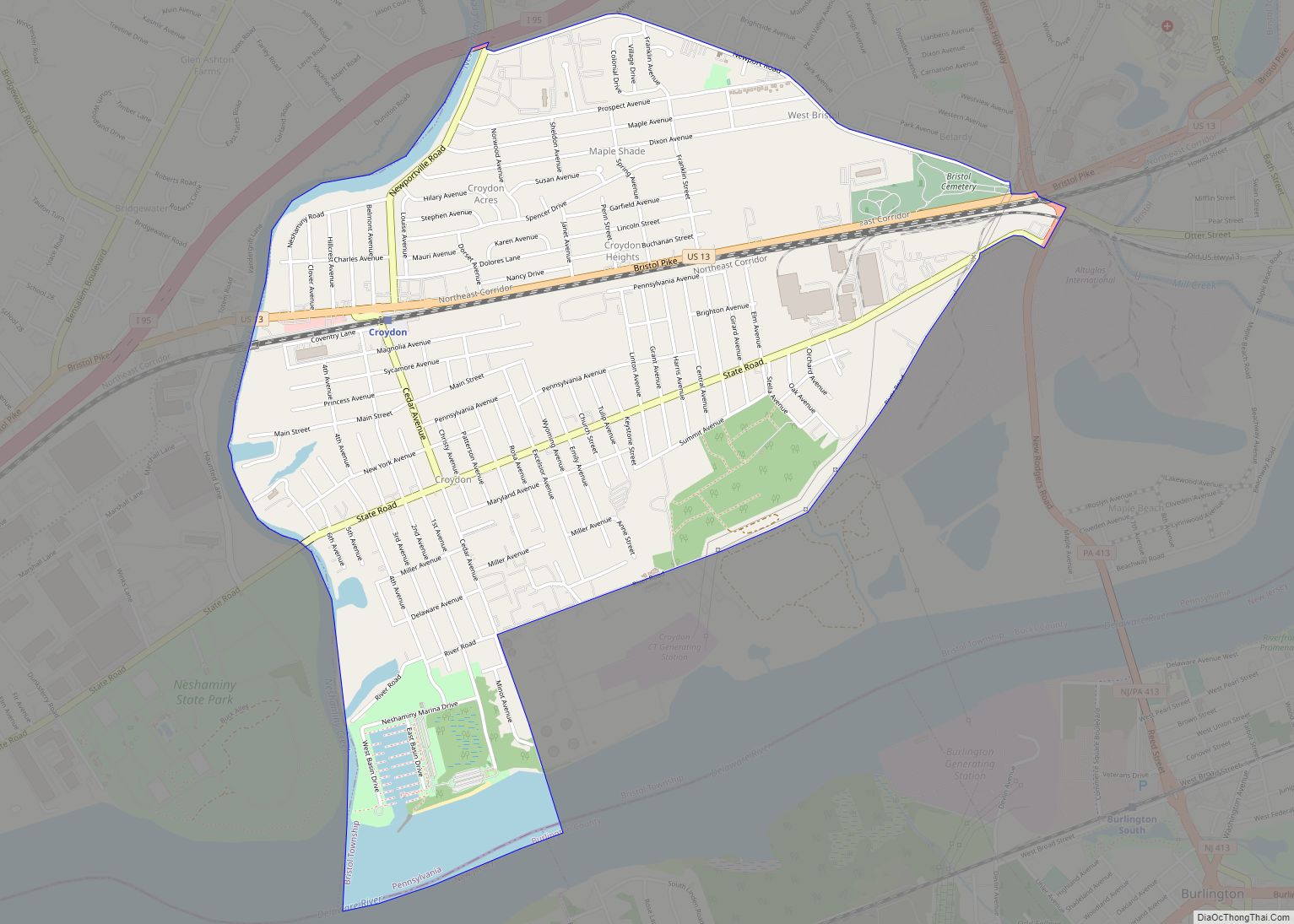
Online Interactive Map
Click on ![]() to view map in "full screen" mode.
to view map in "full screen" mode.
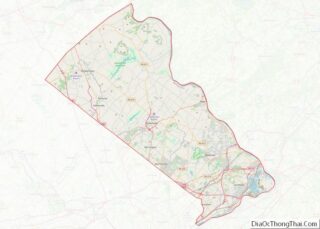
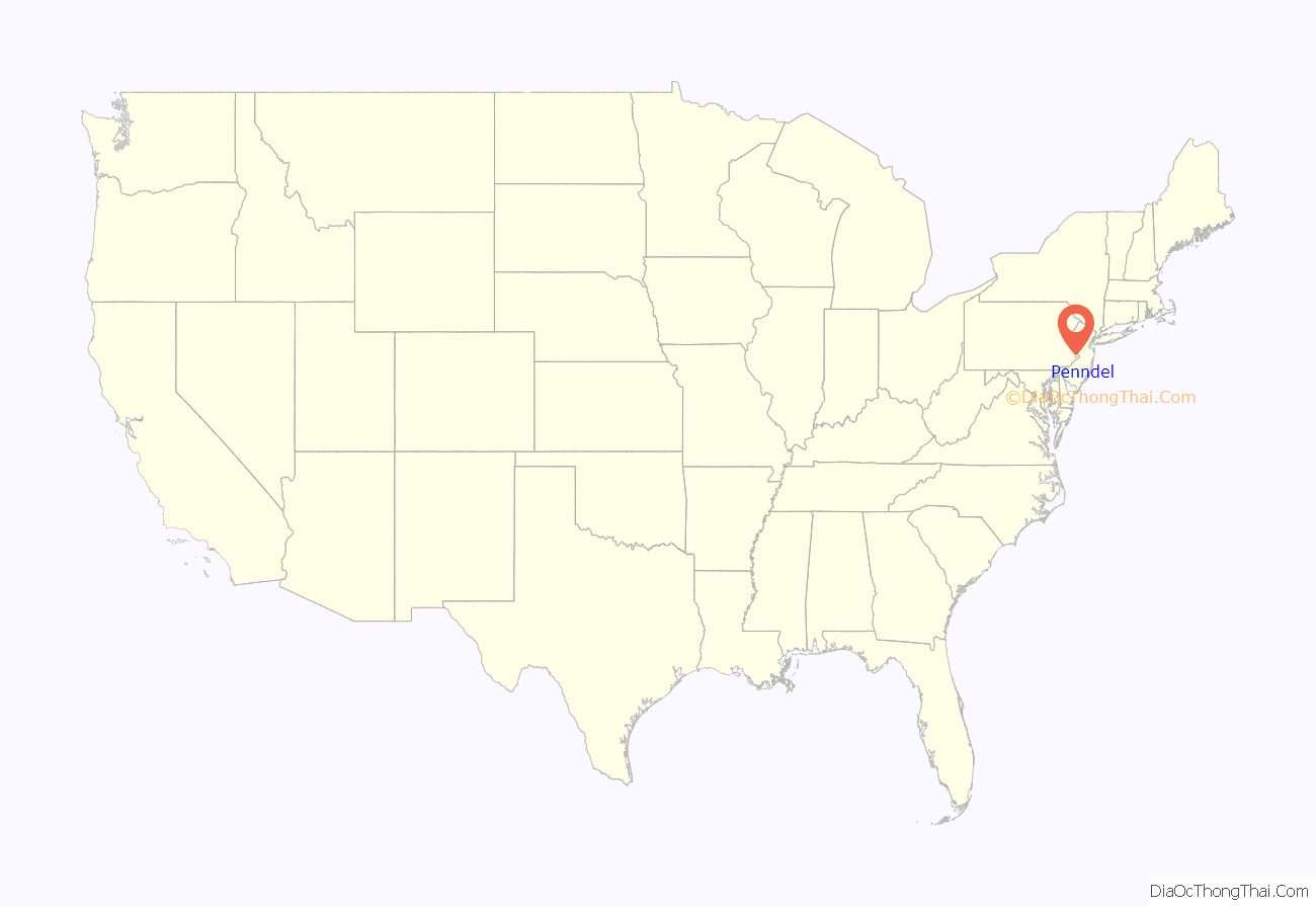
Penndel location map. Where is Penndel borough?
History
Penndel Borough, although small, is rich in history. The area, originally inhabited by the Lenape Indians, was settled by Thomas Langhorne, an English Quaker preacher, and by Henry Paulin, a Quaker Yeoman, on land grants from William Penn. Penndel remained a farming region until 1876 when the Philadelphia Reading Railroad began service, and the Langhorne train station was established. In 1878 Thomas Eastburn & Co. advertised 130 Building Lots in the area calling it “The Eden of Bucks County.” Slowly individual homes and small businesses were built in close proximity to the railroad, and the town expanded from there. It began as the Eden Post Office, was incorporated as the borough of Attleboro on June 22, 1899; the name changed to South Langhorne in February 1911, and finally to Penndel on November 17, 1947. Today Penndel has both a thriving industrial district and residential areas with both new and historically significant homes.
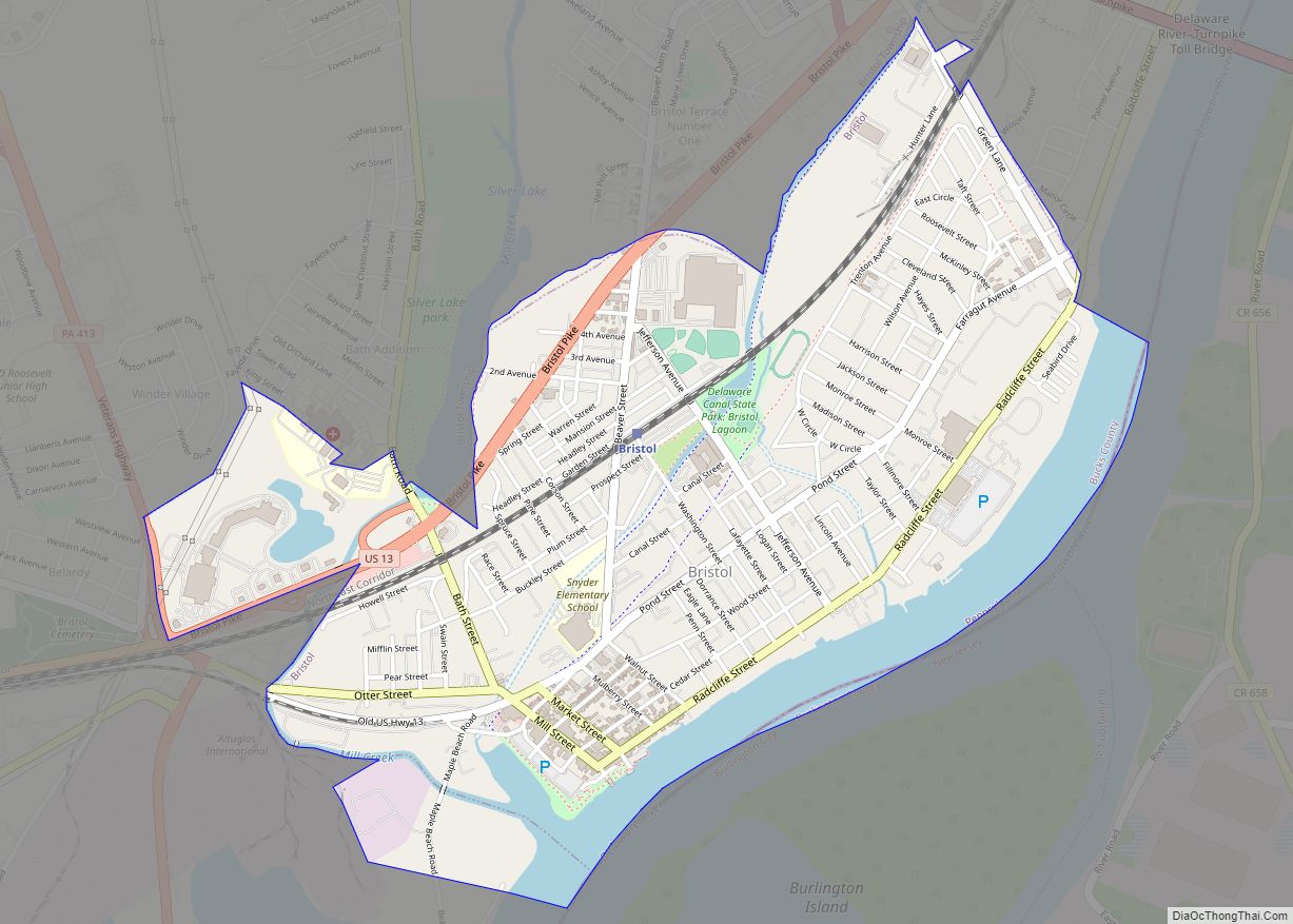
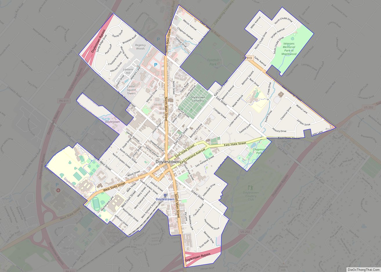
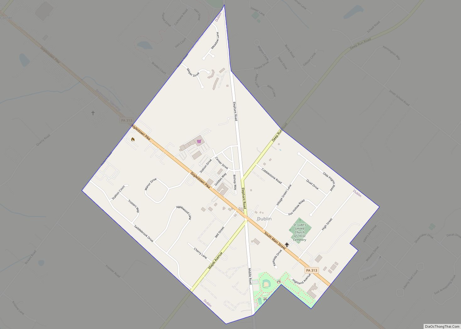
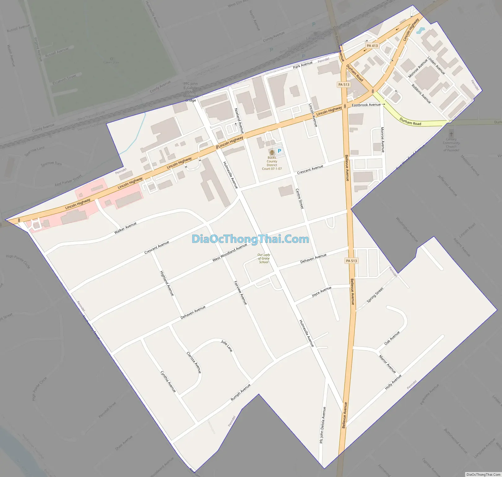
Penndel Road Map
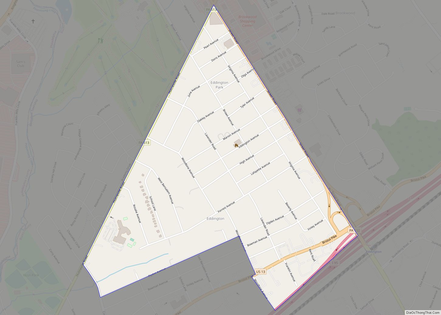
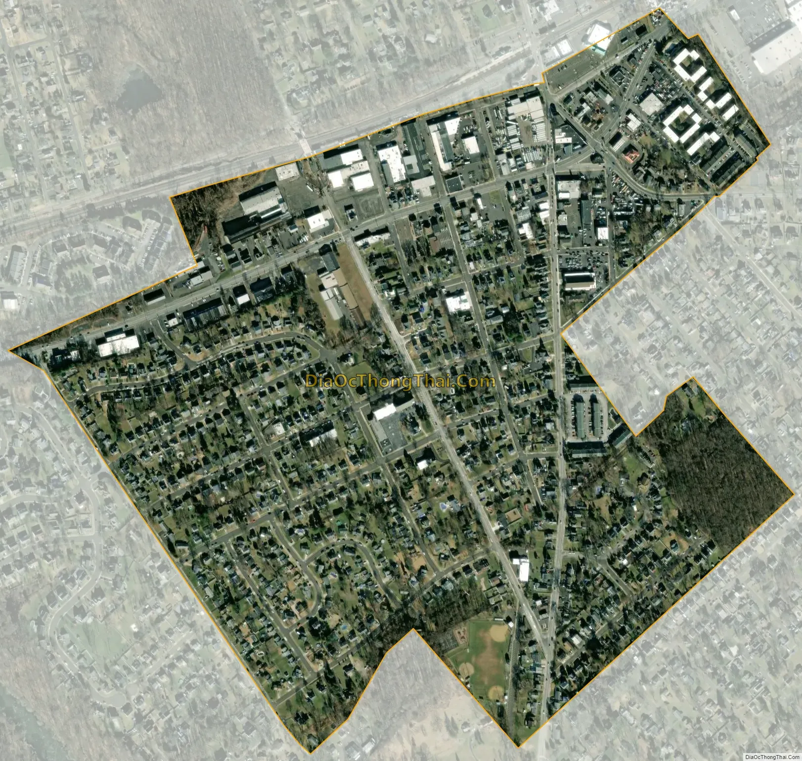
Penndel city Satellite Map
Geography
Penndel is located at 40°9′22″N 74°54′51″W / 40.15611°N 74.91417°W / 40.15611; -74.91417 (40.156109, -74.914050).
According to the United States Census Bureau, the borough has a total area of 0.4 square miles (1.0 km), all land.
See also
Map of Pennsylvania State and its subdivision:- Adams
- Allegheny
- Armstrong
- Beaver
- Bedford
- Berks
- Blair
- Bradford
- Bucks
- Butler
- Cambria
- Cameron
- Carbon
- Centre
- Chester
- Clarion
- Clearfield
- Clinton
- Columbia
- Crawford
- Cumberland
- Dauphin
- Delaware
- Elk
- Erie
- Fayette
- Forest
- Franklin
- Fulton
- Greene
- Huntingdon
- Indiana
- Jefferson
- Juniata
- Lackawanna
- Lancaster
- Lawrence
- Lebanon
- Lehigh
- Luzerne
- Lycoming
- Mc Kean
- Mercer
- Mifflin
- Monroe
- Montgomery
- Montour
- Northampton
- Northumberland
- Perry
- Philadelphia
- Pike
- Potter
- Schuylkill
- Snyder
- Somerset
- Sullivan
- Susquehanna
- Tioga
- Union
- Venango
- Warren
- Washington
- Wayne
- Westmoreland
- Wyoming
- York
- Alabama
- Alaska
- Arizona
- Arkansas
- California
- Colorado
- Connecticut
- Delaware
- District of Columbia
- Florida
- Georgia
- Hawaii
- Idaho
- Illinois
- Indiana
- Iowa
- Kansas
- Kentucky
- Louisiana
- Maine
- Maryland
- Massachusetts
- Michigan
- Minnesota
- Mississippi
- Missouri
- Montana
- Nebraska
- Nevada
- New Hampshire
- New Jersey
- New Mexico
- New York
- North Carolina
- North Dakota
- Ohio
- Oklahoma
- Oregon
- Pennsylvania
- Rhode Island
- South Carolina
- South Dakota
- Tennessee
- Texas
- Utah
- Vermont
- Virginia
- Washington
- West Virginia
- Wisconsin
- Wyoming