Penns Creek is a census-designated place (CDP) in Snyder County, Pennsylvania.
| Name: | Penns Creek CDP |
|---|---|
| LSAD Code: | 57 |
| LSAD Description: | CDP (suffix) |
| State: | Pennsylvania |
| County: | Snyder County |
| Total Area: | 0.75 sq mi (1.95 km²) |
| Land Area: | 0.73 sq mi (1.90 km²) |
| Water Area: | 0.02 sq mi (0.05 km²) |
| Total Population: | 694 |
| Population Density: | 945.50/sq mi (365.24/km²) |
| ZIP code: | 17862 |
| FIPS code: | 4259160 |
Online Interactive Map
Click on ![]() to view map in "full screen" mode.
to view map in "full screen" mode.
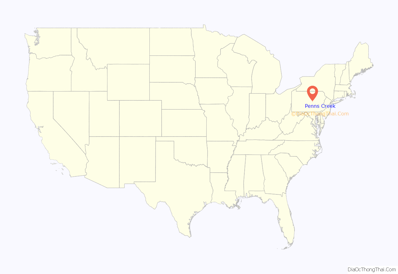
Penns Creek location map. Where is Penns Creek CDP?
History
The community was founded in 1806 by Lt. Col. George Weirick (1773–1838), a War of 1812 veteran and the son of Capt. Wilhelm Weirick (1731–1807), a veteran of the American Revolution, and grandson of German immigrant Johann Georg Weyrich (1702–1751). The village was originally called Weirickstown. Weirick served as county commissioner in 1824, justice of the peace in 1813, and as a member of the General Assembly of Pennsylvania (1832–1833). He is buried in the Salem Church Cemetery in Snyder County. The village name was later changed to Centreville, and then changed again due to a conflict with another village of the same name in Crawford County. The nearby creek’s name was adopted sometime after 1842. The village was originally part of Northumberland County, then Union. On March 2, 1855, Penns Creek became part of Snyder County. Snyder County was named for Governor Simon Snyder of Selinsgrove. Buried in the old Sharon Lutheran Churchyard in Selinsgrove, Snyder was very popular and was the only governor of Pennsylvania to serve three terms.
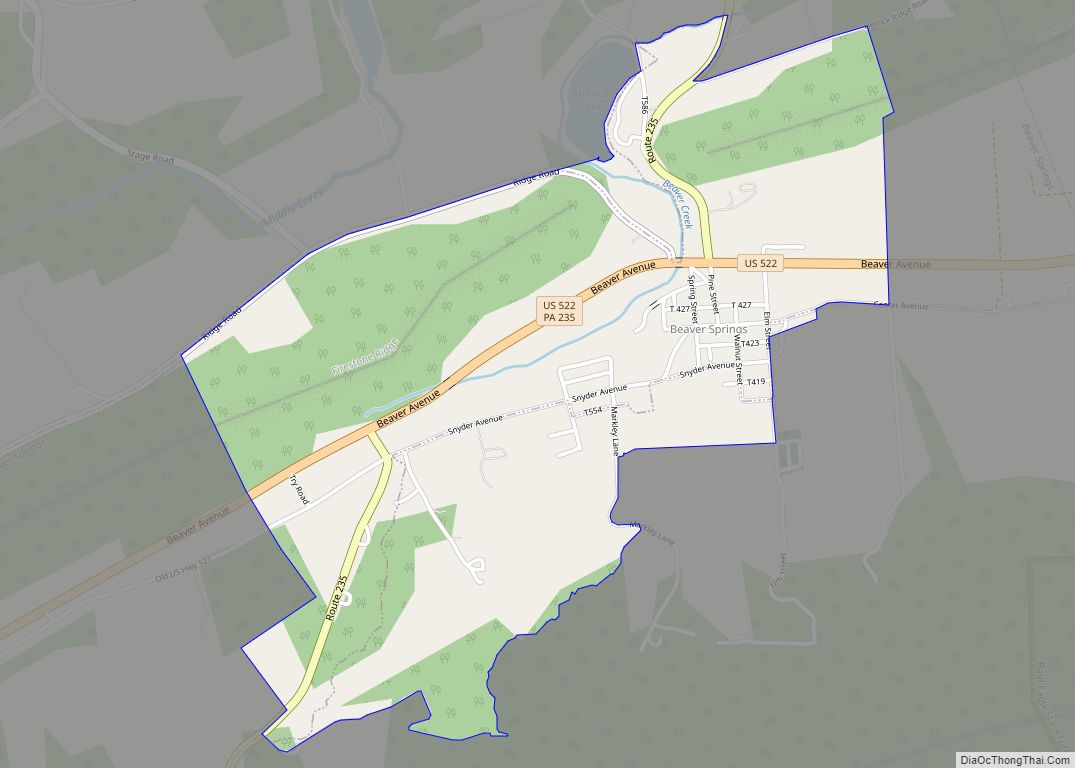
Penns Creek Road Map
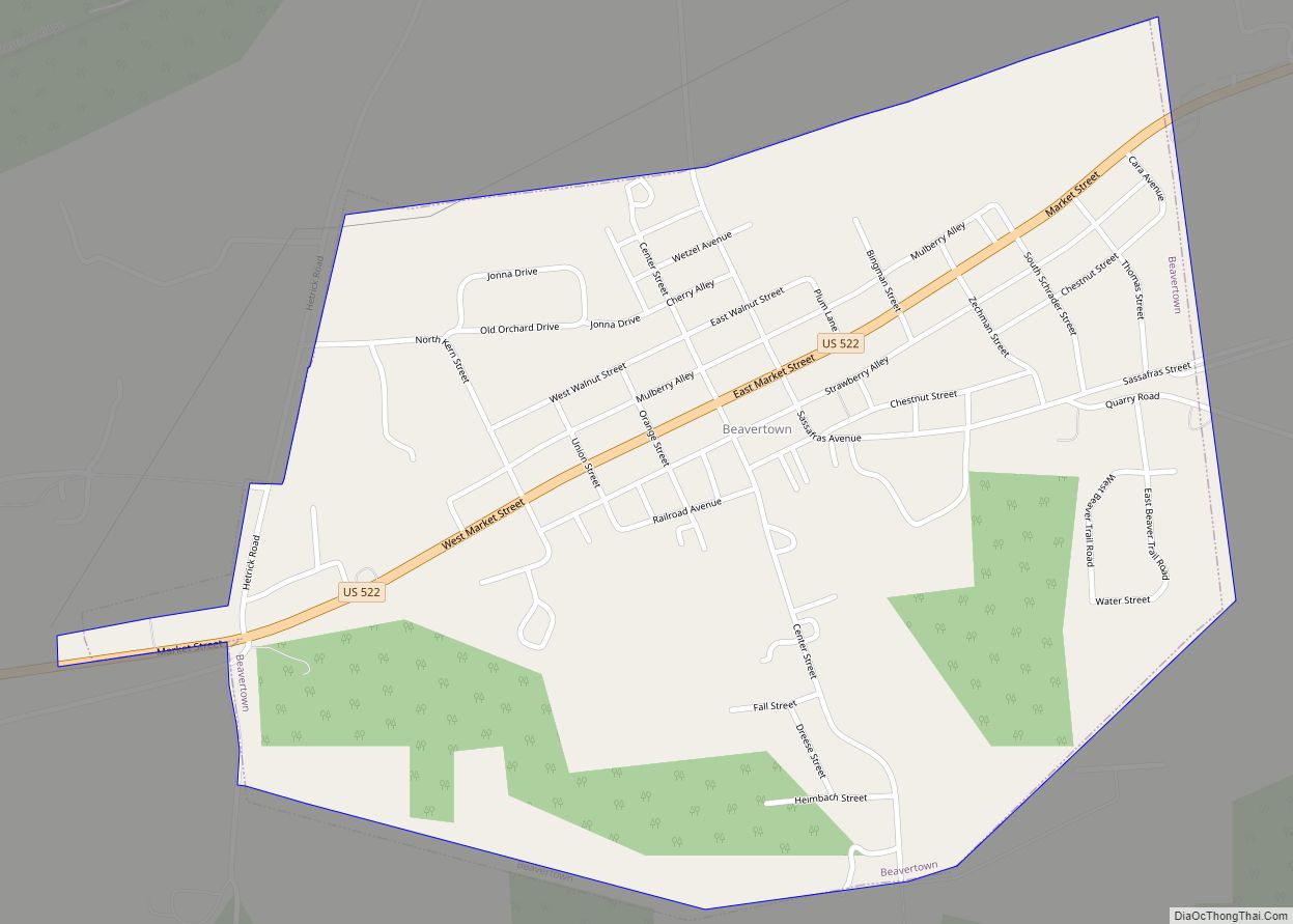
Penns Creek city Satellite Map
Geography
Penns Creek is located at 40°51′38″N 77°3′30″W / 40.86056°N 77.05833°W / 40.86056; -77.05833 (40.860555, -77.058207), bordered on the north by its namesake creek, Penns Creek. It lies along PA Route 104 between Middleburg to the south and Mifflinburg to the north.
According to the U.S. Census Bureau, the CDP has a total area of 1.1 square miles (2.8 km), all land.
See also
Map of Pennsylvania State and its subdivision:- Adams
- Allegheny
- Armstrong
- Beaver
- Bedford
- Berks
- Blair
- Bradford
- Bucks
- Butler
- Cambria
- Cameron
- Carbon
- Centre
- Chester
- Clarion
- Clearfield
- Clinton
- Columbia
- Crawford
- Cumberland
- Dauphin
- Delaware
- Elk
- Erie
- Fayette
- Forest
- Franklin
- Fulton
- Greene
- Huntingdon
- Indiana
- Jefferson
- Juniata
- Lackawanna
- Lancaster
- Lawrence
- Lebanon
- Lehigh
- Luzerne
- Lycoming
- Mc Kean
- Mercer
- Mifflin
- Monroe
- Montgomery
- Montour
- Northampton
- Northumberland
- Perry
- Philadelphia
- Pike
- Potter
- Schuylkill
- Snyder
- Somerset
- Sullivan
- Susquehanna
- Tioga
- Union
- Venango
- Warren
- Washington
- Wayne
- Westmoreland
- Wyoming
- York
- Alabama
- Alaska
- Arizona
- Arkansas
- California
- Colorado
- Connecticut
- Delaware
- District of Columbia
- Florida
- Georgia
- Hawaii
- Idaho
- Illinois
- Indiana
- Iowa
- Kansas
- Kentucky
- Louisiana
- Maine
- Maryland
- Massachusetts
- Michigan
- Minnesota
- Mississippi
- Missouri
- Montana
- Nebraska
- Nevada
- New Hampshire
- New Jersey
- New Mexico
- New York
- North Carolina
- North Dakota
- Ohio
- Oklahoma
- Oregon
- Pennsylvania
- Rhode Island
- South Carolina
- South Dakota
- Tennessee
- Texas
- Utah
- Vermont
- Virginia
- Washington
- West Virginia
- Wisconsin
- Wyoming
