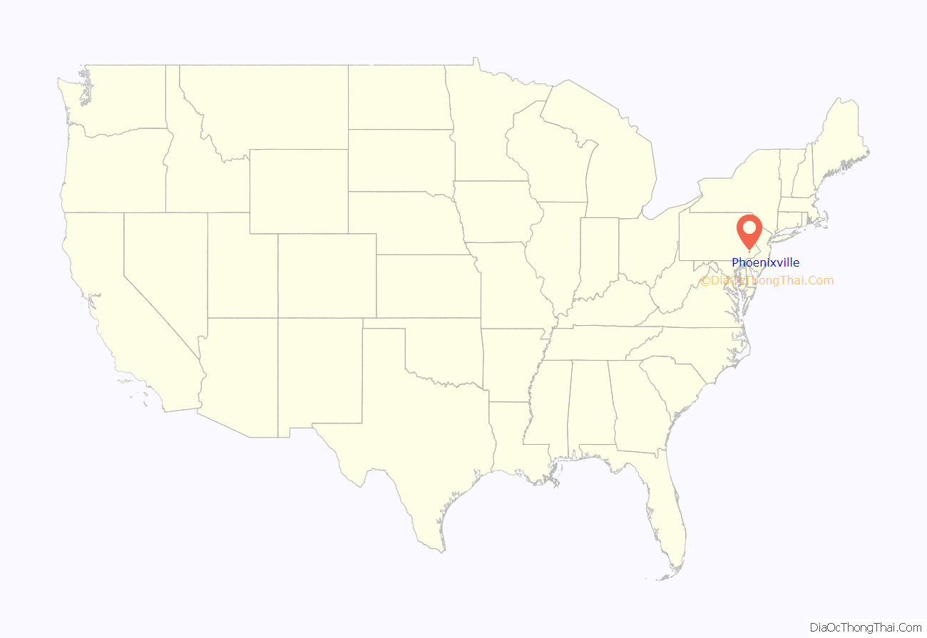
Phoenixville is a borough in Chester County, Pennsylvania, United States. It is located 28 miles (45 km) northwest of Philadelphia at the junction of French Creek and the Schuylkill River. It is in the Philadelphia metropolitan area. According to a 2021 estimate, the population was 19,029. As noted by Forbes, Phoenixville is a former beaten-down mill town with a recent downtown revitalization plan that led to 10 craft breweries, a distillery, and winery tasting rooms.
| Name: | Phoenixville borough |
|---|---|
| LSAD Code: | 21 |
| LSAD Description: | borough (suffix) |
| State: | Pennsylvania |
| County: | Chester County |
| Elevation: | 138 ft (42 m) |
| Total Area: | 3.72 sq mi (9.63 km²) |
| Land Area: | 3.51 sq mi (9.09 km²) |
| Water Area: | 0.21 sq mi (0.54 km²) |
| Total Population: | 18,602 |
| Population Density: | 5,299.7/sq mi (2,046.2/km²) |
| ZIP code: | 19460 |
| Area code: | 610/484 |
| FIPS code: | 4260120 |
| Website: | www.phoenixville.org |
Online Interactive Map
Click on ![]() to view map in "full screen" mode.
to view map in "full screen" mode.
Phoenixville location map. Where is Phoenixville borough?
History
Originally called Manavon, Phoenixville was settled in 1732 and incorporated as a borough in 1849. In its industrial heyday early in the twentieth century, it was an important manufacturing center and the site of great iron and steel mills such as the Phoenix Iron Works, boiler works, silk mill, underwear and hosiery factories, a match factory, and the famous (and now highly collectible) Etruscan majolica pottery. Like many American towns and cities, Phoenixville owes its growth to its waterways. It is not only on the broad Schuylkill River, a historic thoroughfare to Native Americans and early settlers, it is also bisected by the fast-flowing French Creek, which was quickly harnessed for water power.
Much of this history was recognized by the creation of the Phoenixville Historic District, the largest National Register of Historic Places site in Chester County. The Black Rock Bridge, Gay Street School, and Schuylkill Navigation Canal, Oakes Reach Section are also listed on the National Register of Historic Places.
The Phoenixville Historical Society has a rotating display of historical artifacts in its museum.
Etymology
The first nail factory in the U.S., the French Creek Nail Works, was established in Phoenixville (then called Manavon) in 1790. In 1813, a bridge builder, Lewis Wernwag, became part owner and renamed it the Phoenix Iron Works. In 1840, new owners added a blast furnace. In 1855, a new group of owners incorporated as the Phoenix Iron Co. When the borough was incorporated in 1849, it incorporated the name of its major employer. After several ownership changes, the plant was shut down in 1949 and later acquired by the Barium Steel Corp. and renamed the Phoenix Iron & Steel Company, later The Phoenix Steel Corporation. The entire plant was shut down for the last time in 1987.
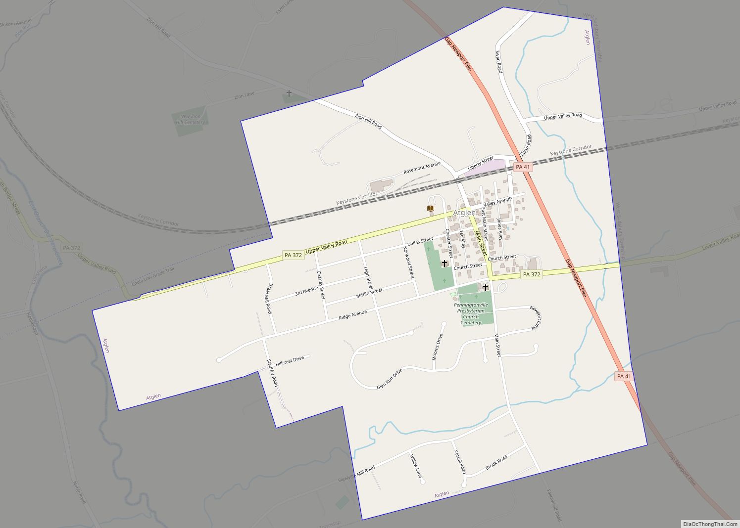
Phoenixville Road Map
Phoenixville city Satellite Map
Geography
- Phoenixville is located at 40°7′51″N 75°31′9″W / 40.13083°N 75.51917°W / 40.13083; -75.51917 (40.130819, -75.519061).
- According to the United States Census Bureau, the borough has a total area of 3.8 square miles (9.8 km), of which 3.6 square miles (9.3 km) is land and 0.2 square miles (0.52 km) (4.27%) is water. Phoenixville is home of the highest recorded temperature in Pennsylvania, 111 °F (44 °C), set on July 10, 1936.
- Average annual rainfall: 46″
- Average annual snowfall: 21″
- Average temperature in winter: 34 °F
- Average temperature in summer: 73 °F
The record high in Pennsylvania was recorded in Phoenixville, on July 9–10, 1936, at 111°F.
- Köppen climate classification: Dfa (hot-summer humid continental) immediately bordering upon Cfa (humid subtropical)
- Hardiness zone: 6b/7a depending upon elevation [1]
Adjacent municipalities
- East Pikeland Township – west
- Schuylkill Township – south and east
- Upper Providence Township – north
See also
Map of Pennsylvania State and its subdivision:- Adams
- Allegheny
- Armstrong
- Beaver
- Bedford
- Berks
- Blair
- Bradford
- Bucks
- Butler
- Cambria
- Cameron
- Carbon
- Centre
- Chester
- Clarion
- Clearfield
- Clinton
- Columbia
- Crawford
- Cumberland
- Dauphin
- Delaware
- Elk
- Erie
- Fayette
- Forest
- Franklin
- Fulton
- Greene
- Huntingdon
- Indiana
- Jefferson
- Juniata
- Lackawanna
- Lancaster
- Lawrence
- Lebanon
- Lehigh
- Luzerne
- Lycoming
- Mc Kean
- Mercer
- Mifflin
- Monroe
- Montgomery
- Montour
- Northampton
- Northumberland
- Perry
- Philadelphia
- Pike
- Potter
- Schuylkill
- Snyder
- Somerset
- Sullivan
- Susquehanna
- Tioga
- Union
- Venango
- Warren
- Washington
- Wayne
- Westmoreland
- Wyoming
- York
- Alabama
- Alaska
- Arizona
- Arkansas
- California
- Colorado
- Connecticut
- Delaware
- District of Columbia
- Florida
- Georgia
- Hawaii
- Idaho
- Illinois
- Indiana
- Iowa
- Kansas
- Kentucky
- Louisiana
- Maine
- Maryland
- Massachusetts
- Michigan
- Minnesota
- Mississippi
- Missouri
- Montana
- Nebraska
- Nevada
- New Hampshire
- New Jersey
- New Mexico
- New York
- North Carolina
- North Dakota
- Ohio
- Oklahoma
- Oregon
- Pennsylvania
- Rhode Island
- South Carolina
- South Dakota
- Tennessee
- Texas
- Utah
- Vermont
- Virginia
- Washington
- West Virginia
- Wisconsin
- Wyoming


