Pine Grove is a borough in Schuylkill County, Pennsylvania, United States. As of the 2020 census, the borough population was 2,054.
Pine Grove Area School District, serving students from three municipalities and multiple surrounding townships, is located in the town.
| Name: | Pine Grove borough |
|---|---|
| LSAD Code: | 21 |
| LSAD Description: | borough (suffix) |
| State: | Pennsylvania |
| County: | Schuylkill County |
| Incorporated: | 1832 |
| Total Area: | 1.06 sq mi (2.76 km²) |
| Land Area: | 1.06 sq mi (2.76 km²) |
| Water Area: | 0.00 sq mi (0.00 km²) |
| Total Population: | 2,049 |
| Population Density: | 1,923.94/sq mi (743.10/km²) |
| ZIP code: | 17963 |
| Area code: | 570 |
| FIPS code: | 4260456 |
| GNISfeature ID: | 1215563 |
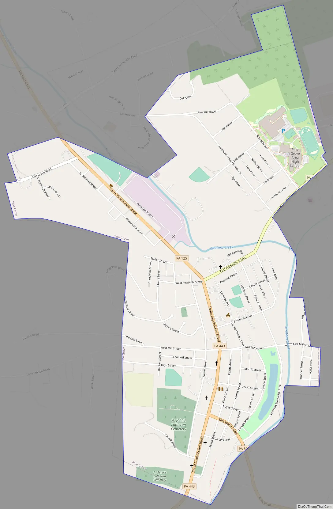
Online Interactive Map
Click on ![]() to view map in "full screen" mode.
to view map in "full screen" mode.
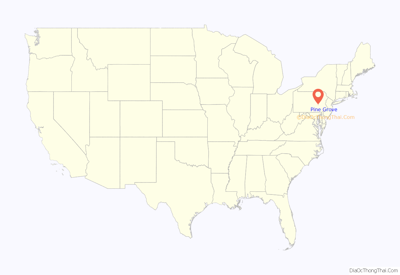
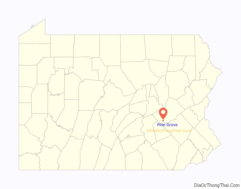
Pine Grove location map. Where is Pine Grove borough?
History
Pine Grove was officially incorporated in 1830 or 1832, although European settlement of the area—particularly by German Palatines—predates this official foundation date by at least a few decades. For example, historical records attest to Jacob Gunkle building a Lutheran church in the area as early as 1782. The historic, existing home Nutting Hall was built between 1823 and 1825. Both Nutting Hall and the surrounding Pine Grove Historic District are listed on the National Register of Historic Places.
The 335-seat Pine Grove Theatre, which is also part of the Pine Grove Historic District, opened in 1910 and is still up and running {2021}.
Pine Grove Road Map
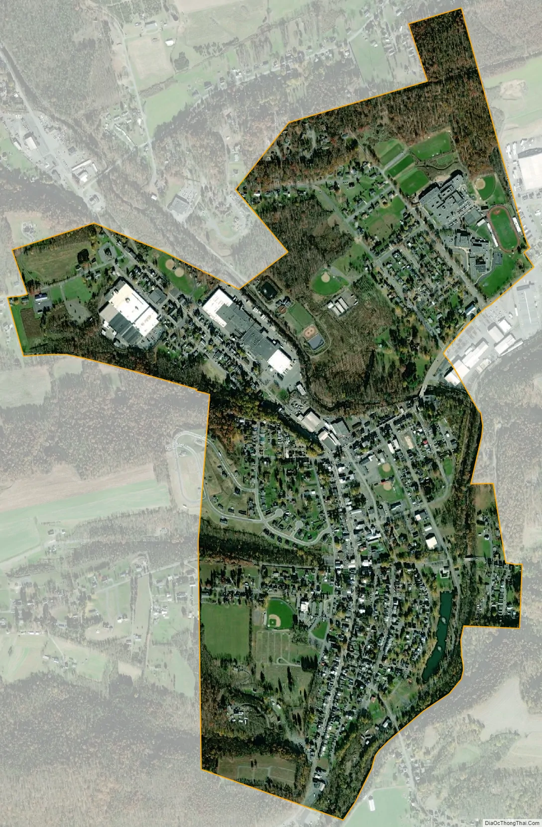
Pine Grove city Satellite Map
Geography
The Swatara Creek—a tributary of the Susquehanna River—runs through Pine Grove. A 22-mile (35 km) feeder branch of the Union Canal connected the Swatara Creek at Pine Grove to Union Water Works between 1830 (or 1832) and 1862, until its destruction when the Swatara flooded in June 1862. The branch canal was used to ship anthracite and supply water to the Water Works. Parts of Swatara State Park are located along the Swatara Creek within Pine Grove.
See also
Map of Pennsylvania State and its subdivision:- Adams
- Allegheny
- Armstrong
- Beaver
- Bedford
- Berks
- Blair
- Bradford
- Bucks
- Butler
- Cambria
- Cameron
- Carbon
- Centre
- Chester
- Clarion
- Clearfield
- Clinton
- Columbia
- Crawford
- Cumberland
- Dauphin
- Delaware
- Elk
- Erie
- Fayette
- Forest
- Franklin
- Fulton
- Greene
- Huntingdon
- Indiana
- Jefferson
- Juniata
- Lackawanna
- Lancaster
- Lawrence
- Lebanon
- Lehigh
- Luzerne
- Lycoming
- Mc Kean
- Mercer
- Mifflin
- Monroe
- Montgomery
- Montour
- Northampton
- Northumberland
- Perry
- Philadelphia
- Pike
- Potter
- Schuylkill
- Snyder
- Somerset
- Sullivan
- Susquehanna
- Tioga
- Union
- Venango
- Warren
- Washington
- Wayne
- Westmoreland
- Wyoming
- York
- Alabama
- Alaska
- Arizona
- Arkansas
- California
- Colorado
- Connecticut
- Delaware
- District of Columbia
- Florida
- Georgia
- Hawaii
- Idaho
- Illinois
- Indiana
- Iowa
- Kansas
- Kentucky
- Louisiana
- Maine
- Maryland
- Massachusetts
- Michigan
- Minnesota
- Mississippi
- Missouri
- Montana
- Nebraska
- Nevada
- New Hampshire
- New Jersey
- New Mexico
- New York
- North Carolina
- North Dakota
- Ohio
- Oklahoma
- Oregon
- Pennsylvania
- Rhode Island
- South Carolina
- South Dakota
- Tennessee
- Texas
- Utah
- Vermont
- Virginia
- Washington
- West Virginia
- Wisconsin
- Wyoming


