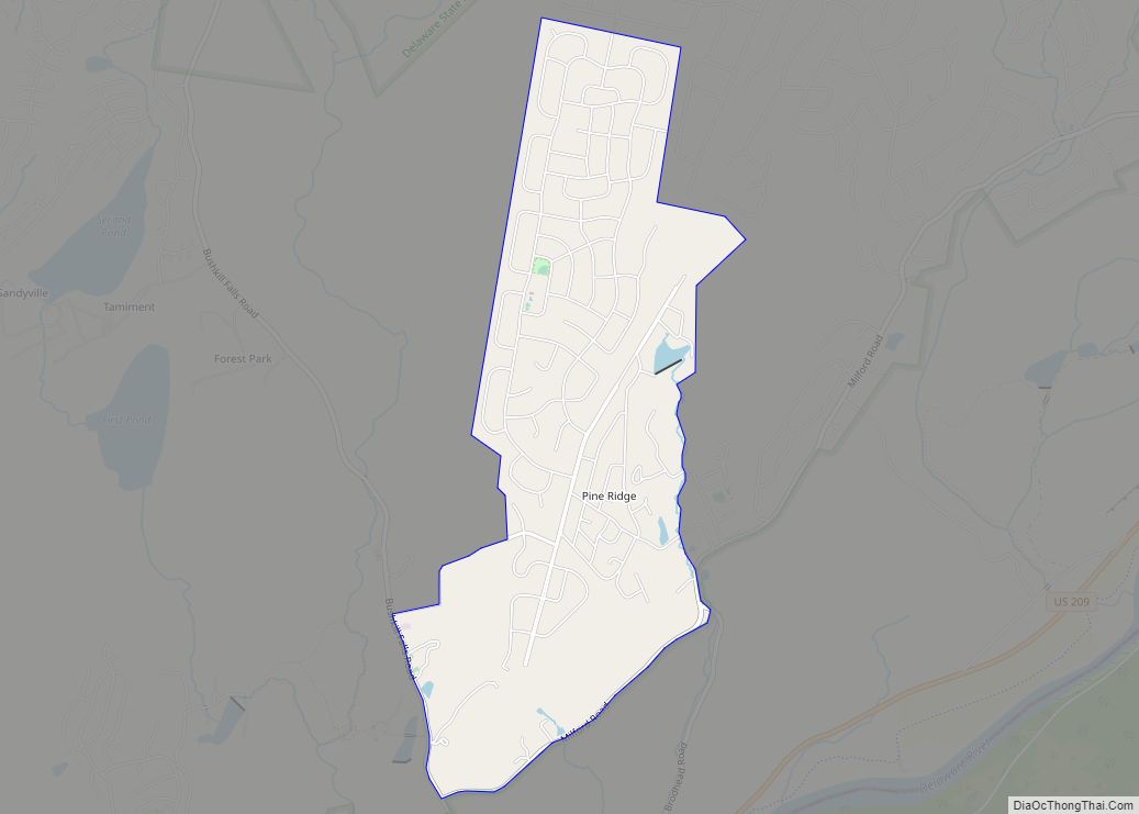
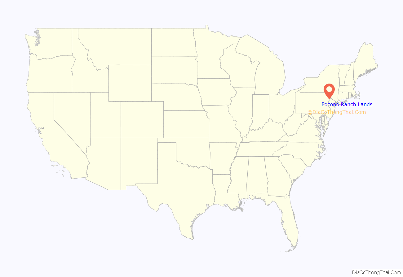
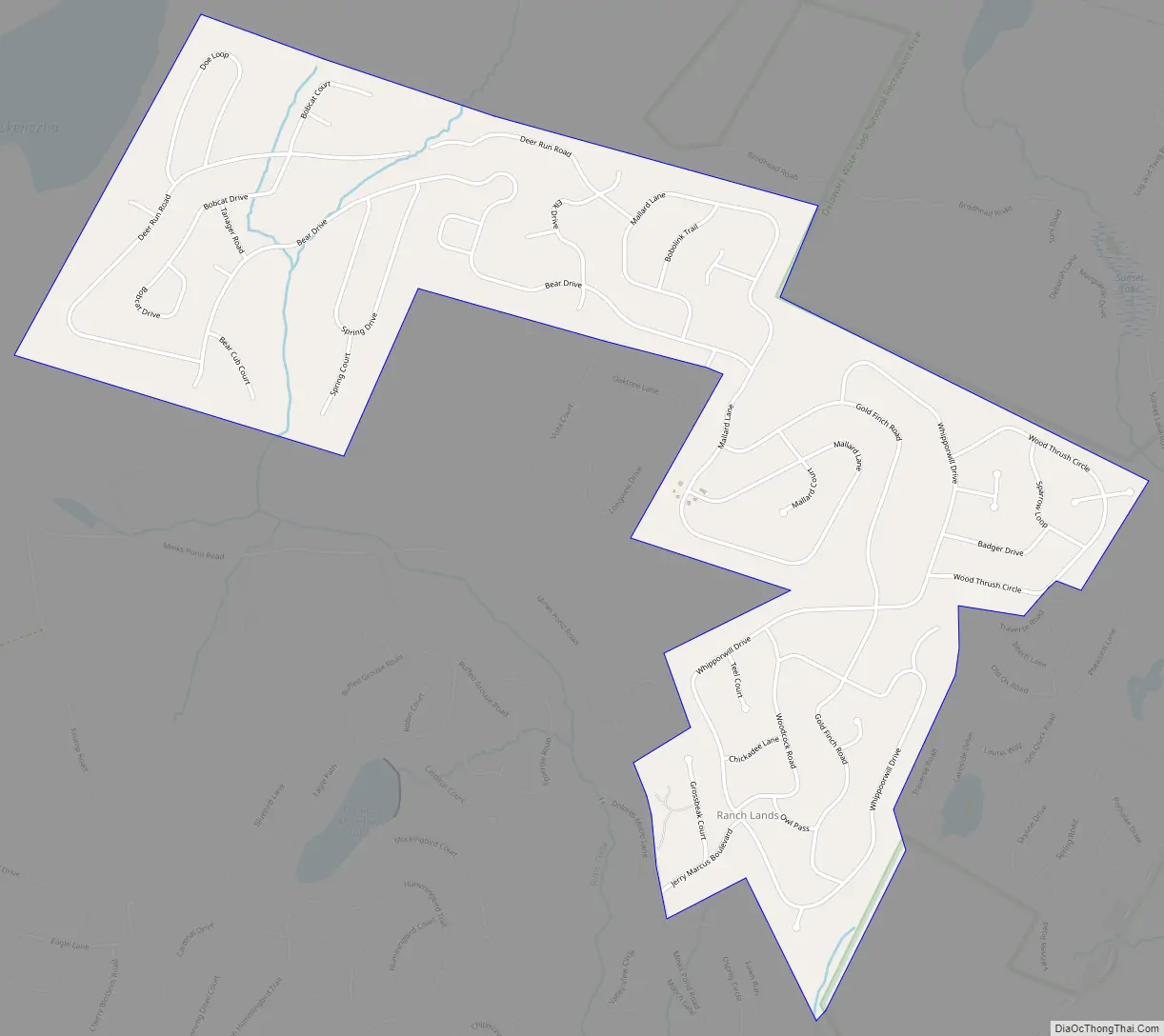
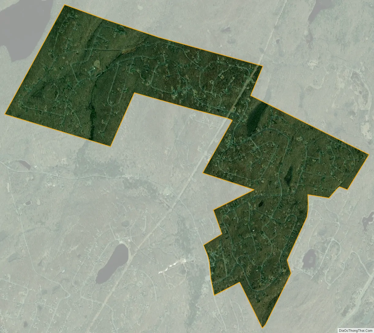
Pocono Ranch Lands is a census-designated place located in northern Lehman Township, Pike County in the state of Pennsylvania. The community is located near U.S. Route 209, and is to the north and shares a southern border with another CDP, the community of Pocono Mountain Lake Estates. As of the 2010 census the population was 1,062 residents.
Pocono Ranch Lands is maintained by the Pocono Ranch Lands Property Owners Association. The Association maintains at least 250 lots that are part of a green belt and are undeveloped. Pocono Ranch Lands has several recreational opportunities, including skiing, horseback riding, hiking trails, playgrounds, ball fields and outdoor swimming pools.
| Name: | Pocono Ranch Lands CDP |
|---|---|
| LSAD Code: | 57 |
| LSAD Description: | CDP (suffix) |
| State: | Pennsylvania |
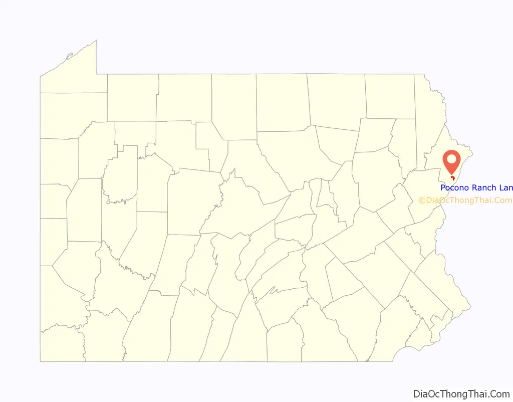
| County: | Pike County |
| Total Area: | 3.17 sq mi (8.20 km²) |
| Land Area: | 3.17 sq mi (8.20 km²) |
| Water Area: | 0.00 sq mi (0.00 km²) |
| Total Population: | 1,151 |
| Population Density: | 363.55/sq mi (140.38/km²) |
| FIPS code: | 4261773 |
Online Interactive Map
Click on ![]() to view map in "full screen" mode.
to view map in "full screen" mode.
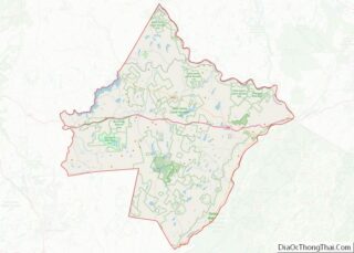
Pocono Ranch Lands location map. Where is Pocono Ranch Lands CDP?
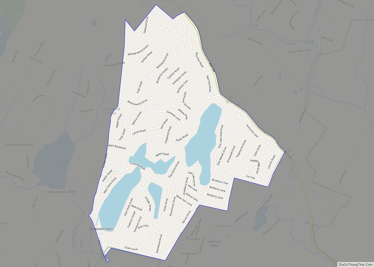
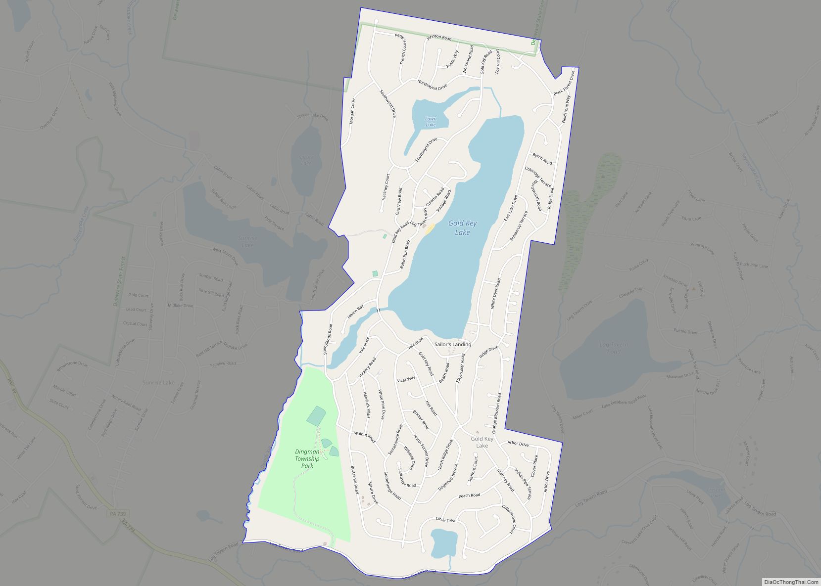
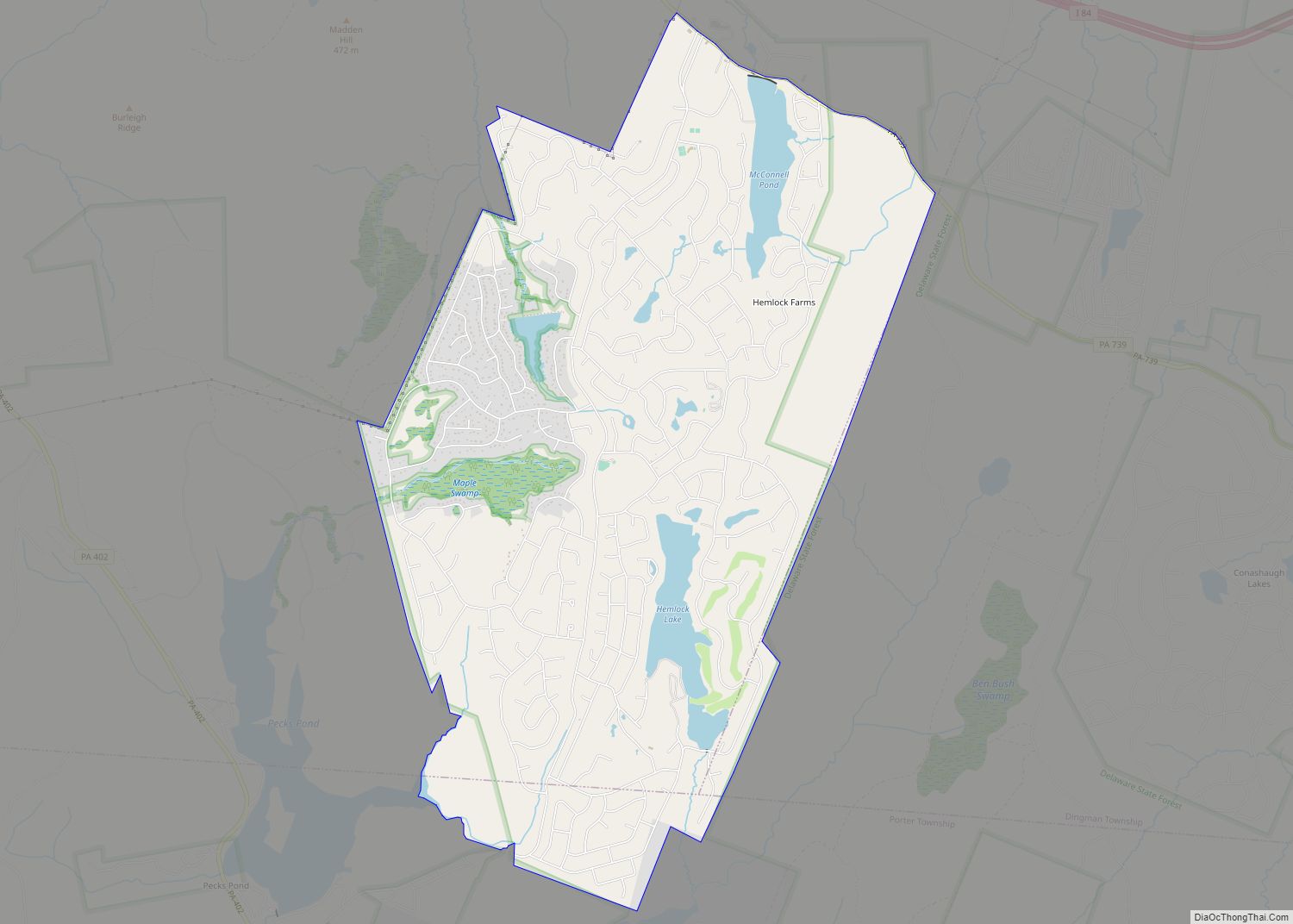
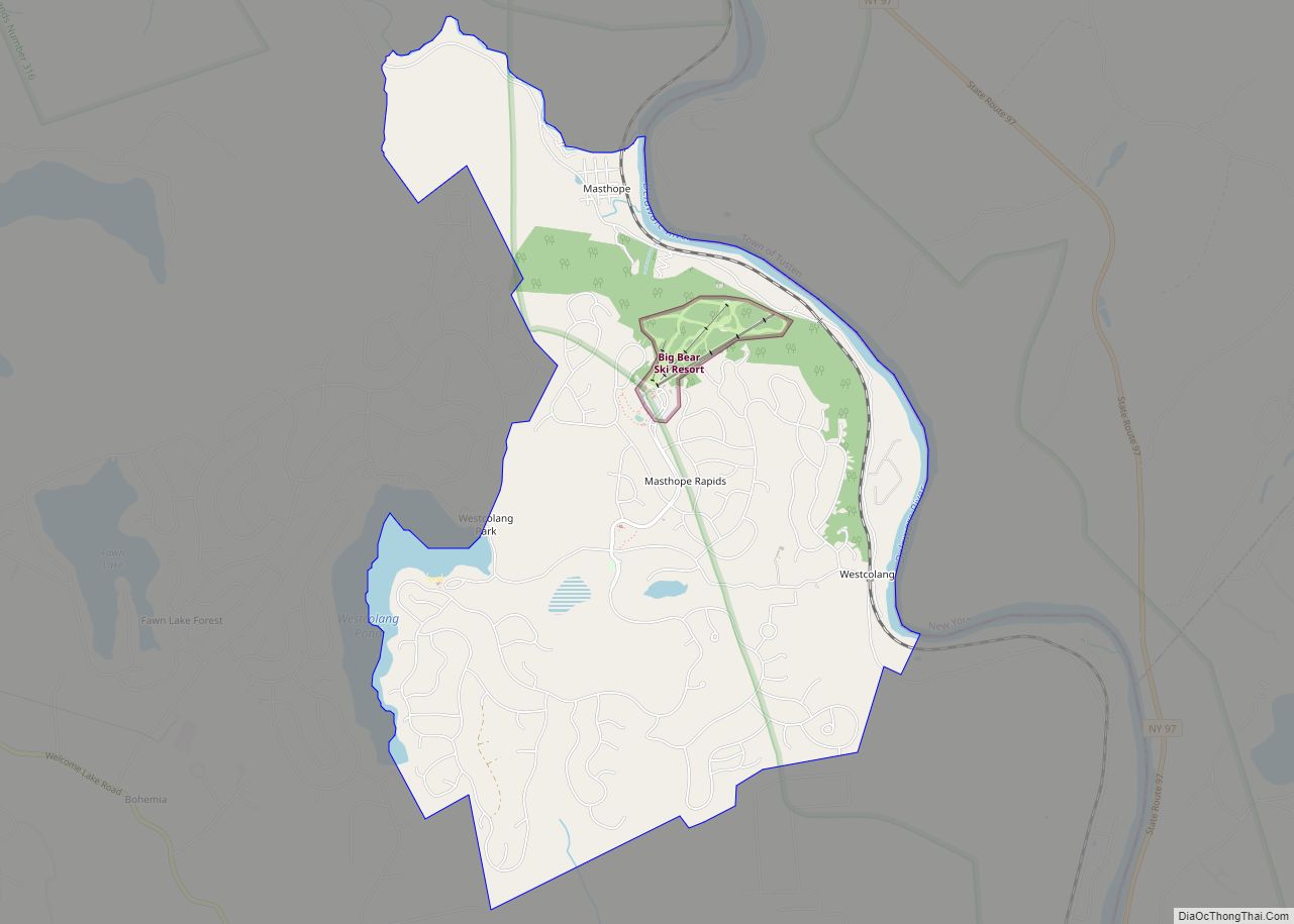
Pocono Ranch Lands Road Map
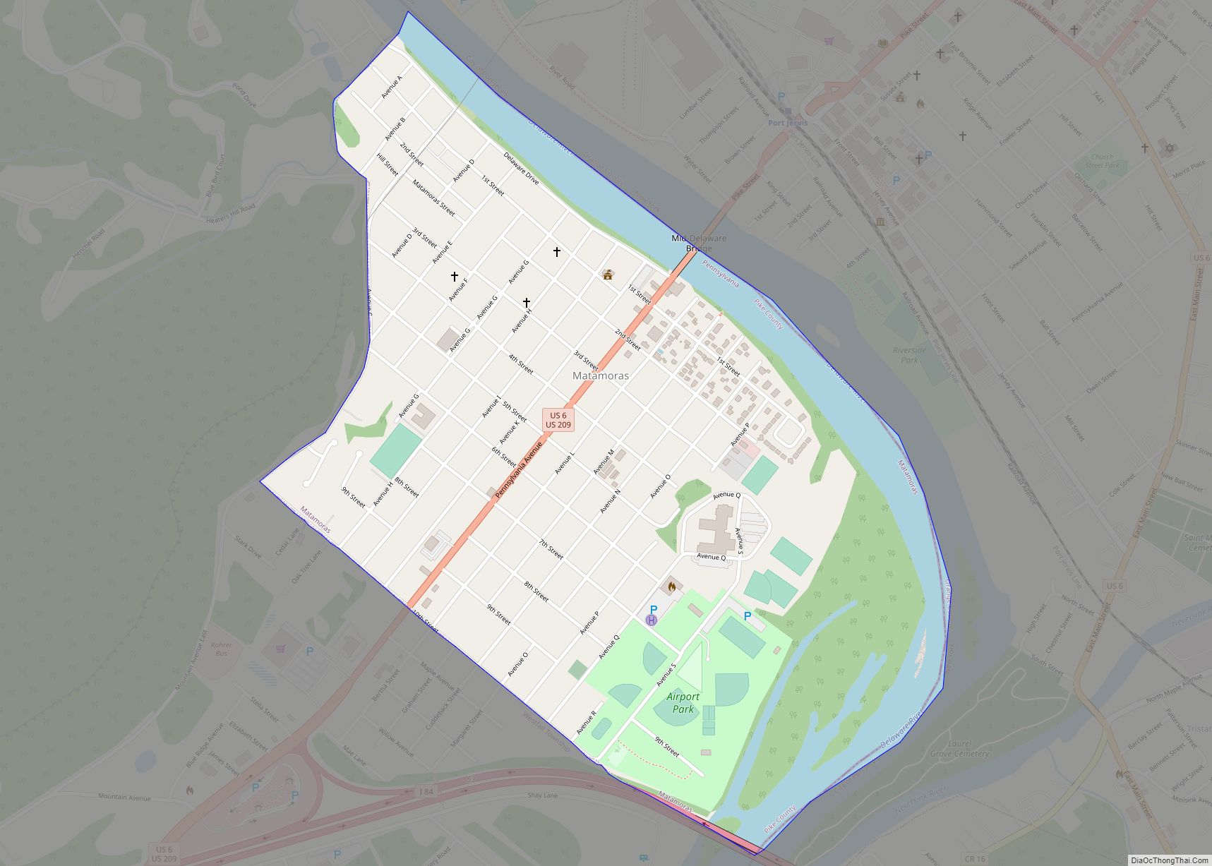
Pocono Ranch Lands city Satellite Map
Geography
Pocono Ranch Lands is located at coordinates 41 ° 10’58 “N 74 ° 57’58” O . According to the United States Census Bureau, Pocono Ranch Lands has a total area of 5.2 km , all land. It is situated at an elevation of 286 meters above sea level.
See also
Map of Pennsylvania State and its subdivision:- Adams
- Allegheny
- Armstrong
- Beaver
- Bedford
- Berks
- Blair
- Bradford
- Bucks
- Butler
- Cambria
- Cameron
- Carbon
- Centre
- Chester
- Clarion
- Clearfield
- Clinton
- Columbia
- Crawford
- Cumberland
- Dauphin
- Delaware
- Elk
- Erie
- Fayette
- Forest
- Franklin
- Fulton
- Greene
- Huntingdon
- Indiana
- Jefferson
- Juniata
- Lackawanna
- Lancaster
- Lawrence
- Lebanon
- Lehigh
- Luzerne
- Lycoming
- Mc Kean
- Mercer
- Mifflin
- Monroe
- Montgomery
- Montour
- Northampton
- Northumberland
- Perry
- Philadelphia
- Pike
- Potter
- Schuylkill
- Snyder
- Somerset
- Sullivan
- Susquehanna
- Tioga
- Union
- Venango
- Warren
- Washington
- Wayne
- Westmoreland
- Wyoming
- York
- Alabama
- Alaska
- Arizona
- Arkansas
- California
- Colorado
- Connecticut
- Delaware
- District of Columbia
- Florida
- Georgia
- Hawaii
- Idaho
- Illinois
- Indiana
- Iowa
- Kansas
- Kentucky
- Louisiana
- Maine
- Maryland
- Massachusetts
- Michigan
- Minnesota
- Mississippi
- Missouri
- Montana
- Nebraska
- Nevada
- New Hampshire
- New Jersey
- New Mexico
- New York
- North Carolina
- North Dakota
- Ohio
- Oklahoma
- Oregon
- Pennsylvania
- Rhode Island
- South Carolina
- South Dakota
- Tennessee
- Texas
- Utah
- Vermont
- Virginia
- Washington
- West Virginia
- Wisconsin
- Wyoming