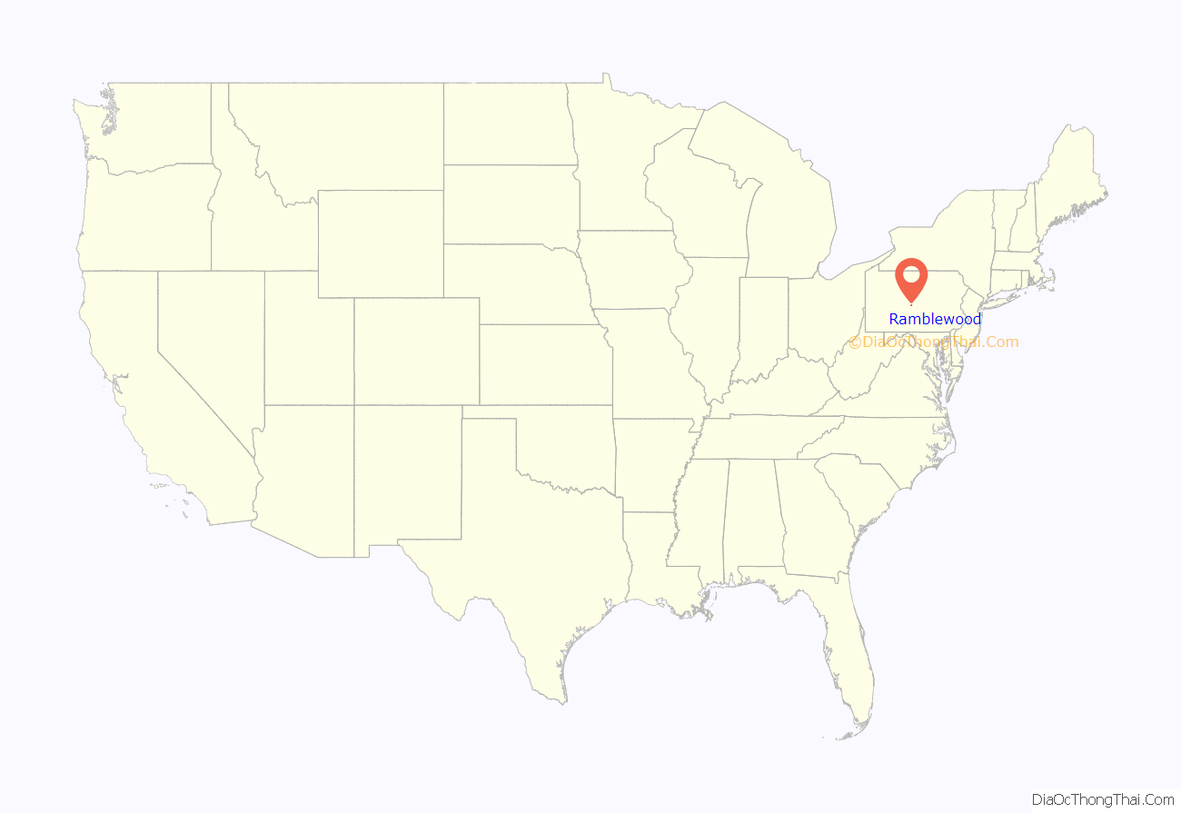
Ramblewood is an unincorporated area and census-designated place (CDP) in Centre County, Pennsylvania, United States. It is part of the State College, Pennsylvania Metropolitan Statistical Area. The population was 849 at the 2010 census.
| Name: | Ramblewood CDP |
|---|---|
| LSAD Code: | 57 |
| LSAD Description: | CDP (suffix) |
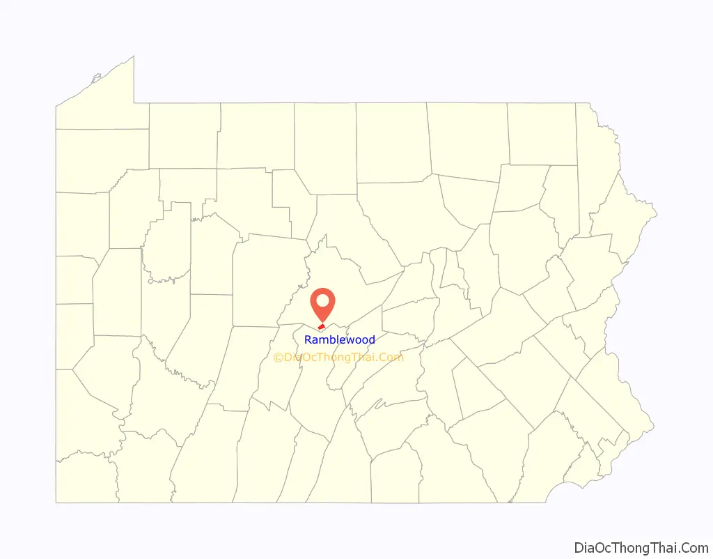
| State: | Pennsylvania |
| County: | Centre County |
| Elevation: | 1,240 ft (380 m) |
| Total Area: | 3.10 sq mi (8.03 km²) |
| Land Area: | 3.10 sq mi (8.03 km²) |
| Water Area: | 0.00 sq mi (0.00 km²) |
| Total Population: | 769 |
| Population Density: | 248.14/sq mi (95.80/km²) |
| ZIP code: | 16865 |
| Area code: | 814 |
| FIPS code: | 4263349 |
Online Interactive Map
Click on ![]() to view map in "full screen" mode.
to view map in "full screen" mode.
Ramblewood location map. Where is Ramblewood CDP?
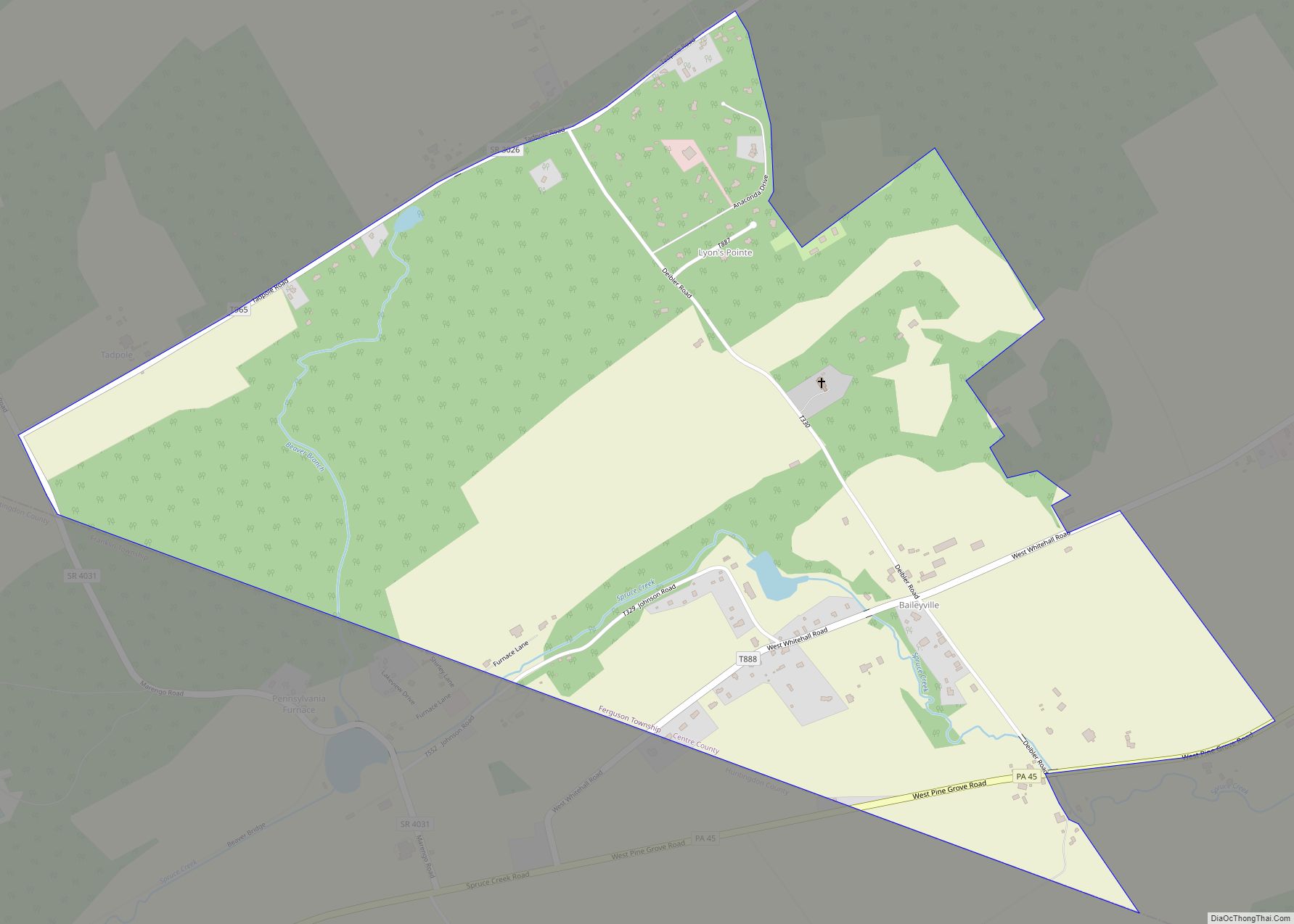
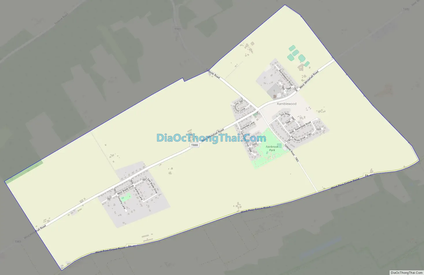
Ramblewood Road Map
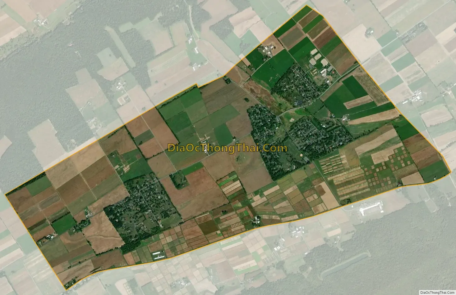
Ramblewood city Satellite Map
Geography
Ramblewood is located in southern Centre County at 40°44′3″N 77°56′40″W / 40.73417°N 77.94444°W / 40.73417; -77.94444 (40.734180, -77.944554), south of the center of Ferguson Township. It consists of an area of farmland and several small residential developments. Pennsylvania Route 45 forms the southern edge of the community, leading northeast 8 miles (13 km) to the borough of State College.
According to the United States Census Bureau, the CDP has a total area of 3.10 square miles (8.03 km), all land.
See also
Map of Pennsylvania State and its subdivision:- Adams
- Allegheny
- Armstrong
- Beaver
- Bedford
- Berks
- Blair
- Bradford
- Bucks
- Butler
- Cambria
- Cameron
- Carbon
- Centre
- Chester
- Clarion
- Clearfield
- Clinton
- Columbia
- Crawford
- Cumberland
- Dauphin
- Delaware
- Elk
- Erie
- Fayette
- Forest
- Franklin
- Fulton
- Greene
- Huntingdon
- Indiana
- Jefferson
- Juniata
- Lackawanna
- Lancaster
- Lawrence
- Lebanon
- Lehigh
- Luzerne
- Lycoming
- Mc Kean
- Mercer
- Mifflin
- Monroe
- Montgomery
- Montour
- Northampton
- Northumberland
- Perry
- Philadelphia
- Pike
- Potter
- Schuylkill
- Snyder
- Somerset
- Sullivan
- Susquehanna
- Tioga
- Union
- Venango
- Warren
- Washington
- Wayne
- Westmoreland
- Wyoming
- York
- Alabama
- Alaska
- Arizona
- Arkansas
- California
- Colorado
- Connecticut
- Delaware
- District of Columbia
- Florida
- Georgia
- Hawaii
- Idaho
- Illinois
- Indiana
- Iowa
- Kansas
- Kentucky
- Louisiana
- Maine
- Maryland
- Massachusetts
- Michigan
- Minnesota
- Mississippi
- Missouri
- Montana
- Nebraska
- Nevada
- New Hampshire
- New Jersey
- New Mexico
- New York
- North Carolina
- North Dakota
- Ohio
- Oklahoma
- Oregon
- Pennsylvania
- Rhode Island
- South Carolina
- South Dakota
- Tennessee
- Texas
- Utah
- Vermont
- Virginia
- Washington
- West Virginia
- Wisconsin
- Wyoming