Renovo is a borough in Clinton County, Pennsylvania, United States, 28 miles (45 km) northwest of Lock Haven. In 1900, 4,082 people lived there, and in 1910, 4,621 lived there, but in the 2010 census the borough population was 1,228.
The borough is located on the West Branch Susquehanna River, and along Pennsylvania’s Bucktail State Park Natural Area, centered on Pennsylvania Route 120, which winds through the surrounding mountains following the river. The town is the home of the “Flaming Foliage Festival” held each October, generally on the second weekend, celebrating the fall colors of the trees on the area’s many mountains. The festival includes a parade and the crowning of a queen, usually chosen from one of the nearby high schools. The festival serves as a “homecoming” event for former residents of Renovo, many of whom return annually for the event. Various vendors from the surrounding areas sell food, clothing, and an array of novelties, memorabilia, and souvenirs.
The economy of Renovo and the surrounding area was primarily based on lumbering, until the first-growth forest was almost entirely stripped away, and the industry collapsed. There are also deposits of bituminous coal and fire clay in the region.
| Name: | Renovo borough |
|---|---|
| LSAD Code: | 21 |
| LSAD Description: | borough (suffix) |
| State: | Pennsylvania |
| County: | Clinton County |
| Elevation: | 668 ft (204 m) |
| Total Area: | 1.06 sq mi (2.74 km²) |
| Land Area: | 1.05 sq mi (2.72 km²) |
| Water Area: | 0.01 sq mi (0.01 km²) |
| Total Population: | 1,228 |
| Population Density: | 1,146.53/sq mi (442.52/km²) |
| ZIP code: | 17764 |
| Area code: | 570 |
| FIPS code: | 4264200 |
| Website: | https://renovoborough.org/ |
Online Interactive Map
Click on ![]() to view map in "full screen" mode.
to view map in "full screen" mode.
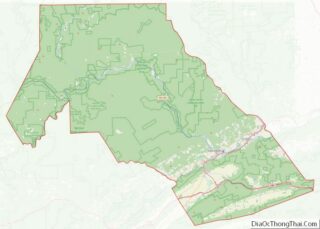
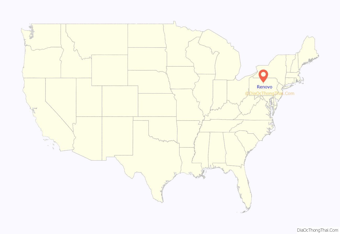
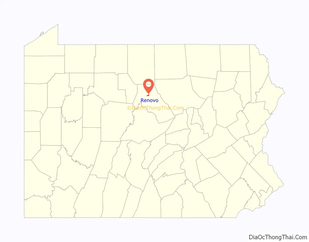
Renovo location map. Where is Renovo borough?
History
Renovo was built for and by the Philadelphia & Erie Railroad as the midpoint between Philadelphia and Erie. The town was laid out on a mostly-flat flood plain along the West Branch of the Susquehanna River in North-Central Pennsylvania, and was incorporated in 1866. Many of the buildings of what became the sprawling Railroad Shops complex were built before, during, and after the American Civil War.
The Philadelphia and Erie Railroad, along with many other relatively smaller lines eventually became incorporated into the Pennsylvania Railroad. The Pennsylvania Railroad was the largest corporation in the world with an annual GPO larger than the federal government, and is the only corporation in history to have paid out dividends due to its profitability for 100 years.
Unlike most “rural” towns and residential areas, Renovo was laid out in an industrially-oriented urban grid with avenues given names of the Great Lakes, and “side streets” numbered from 1 to 16. Houses were mostly built close to one another or incorporated into row houses. Houses with larger lots allowing for big yards were a rare luxury.
Before the town was completely built out, Renovo was known and advertised as a “resort town in the mountains”. One can still find newspaper ads and brochures extolling the restorative mountain air, clean water, and outdoor activities such as fishing and hunting. There were several large hotels in the town well before the turn of the 20th century. The railroad made access to this remote area seemingly quick and effortless for those living in other cities which enjoyed railroad service.
The town boasted dozens of bars and restaurants as well as churches which gave testimony to the forward-directed, optimistic, and vigorous energy which fueled the town’s growth and development. Most institutions which one would find in a town of the era or today, such as a hospital, YMCA, schools, taxi service, shops, clubs, lodges, fraternal organizations, professional services, and sports teams, were established.
The major employer was the Pennsylvania Railroad and Pennsylvania Railroad shops. The shops were a massive complex, stretching from one end of town to the other, containing a 25 rail freight classification yard, service shops for diesel and steam locomotives, and even its own coal power plant. As long as the Railroad prospered, the town was a bustling center of activity. Some aspects of railroad business began to decrease as early as before World War II, but business surged back strongly during the War. However, further decline in demand for both passenger and freight transportation via the railroad came with the building of the St. Lawrence Seaway, the building of the Interstate Highway System, the surge of automobile ownership and use, and the consolidation of the Pennsylvania Railroad’s Shop facilities to other locations such as Pittsburgh and Altoona.
The closing of the shops in the 1960s tolled the death knell for Renovo as an enterprising town with a future. Its present population is less than 2,000; it was once around 5,000. Many residents drive the two-lane, windy roads and I-80 to other towns for employment. There is also a substantial contingent of lifelong residents and transplants who are retired. The change in human activity over the years hasn’t dimmed or substantially altered the natural environment of this Allegheny Mountain area of the larger Appalachian Highlands.
In 1972, Renovo, along with many other parts of Pennsylvania were devastated by flooding and torrential rain from Hurricane Agnes, which stalled over the state, dumping up to 19 inches on parts of the state, and between 8 – 10 inches on Renovo.
In the 1980s, Renovo was a pawn in a large scandal, which sought to defraud the United States Government of millions of dollars. In 1983, a company called Chem-Con Corp. took over the vacant railroad shops after Berwick Forge & Fabricating, which made railroad boxcars, closed. Chem-Con made seasheds, which are containers used to transport military vehicles, for the U.S. Navy. In 1986, Chem-con was first suspected of inflating costs to the government. The FBI began an investigation into Chem-com in the same year, and Chem-con was exposed for defrauding nearly $12 Million from the U.S. Government and Navy. In 1987, Chem-con filed for bankruptcy, and a company called American Coastal Industries resumed operations at the shop buildings, later going bankrupt too. This scandal and “false hope” for the town, bringing hundreds of the town’s unemployed back to work, in addition to a fire that tore through the business district on Erie Avenue, was devastating for Renovo, adding many more to the jobless and money-tight residents, who would eventually leave town for better opportunities.
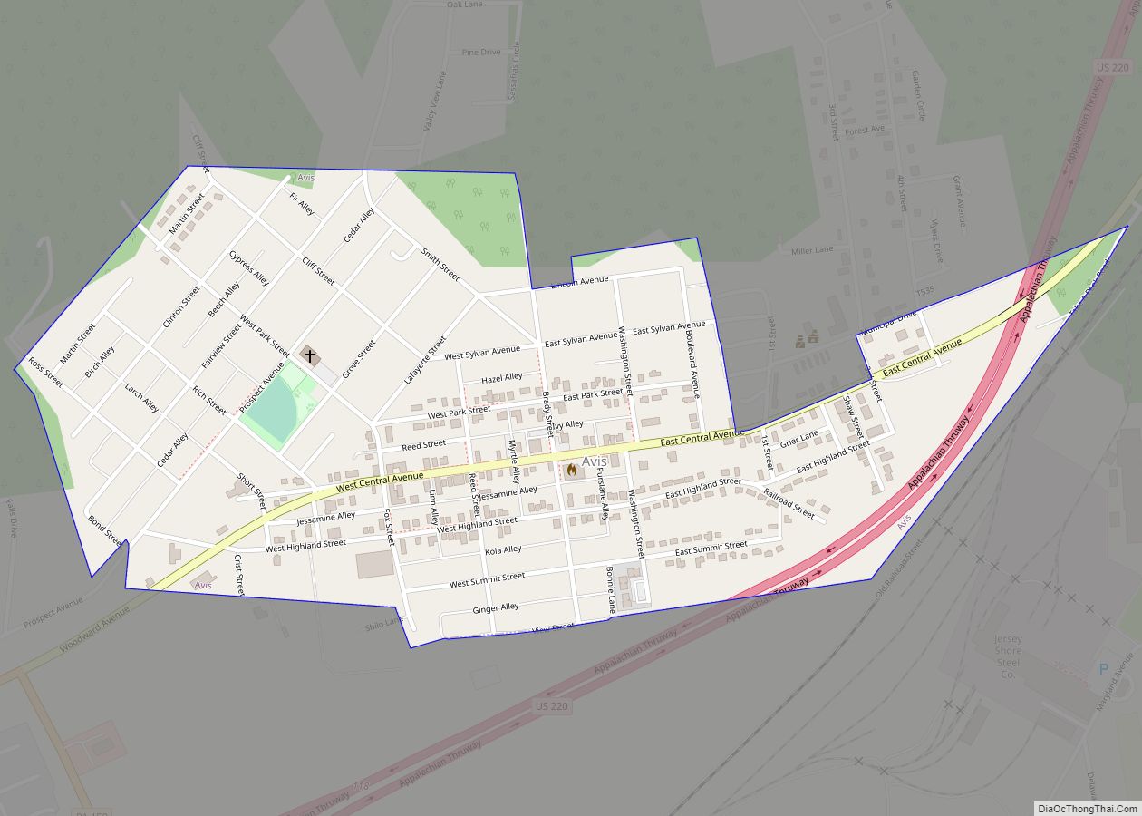
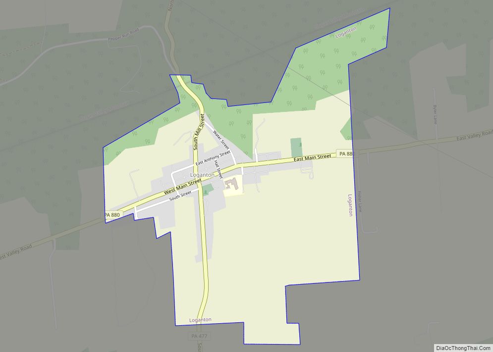
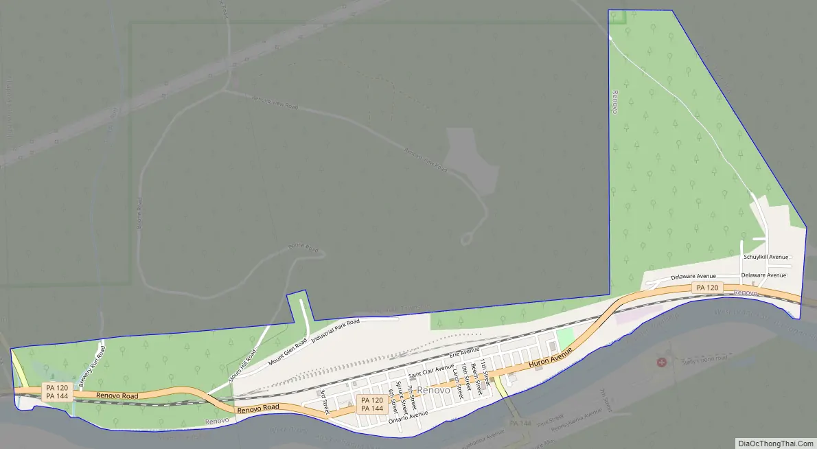
Renovo Road Map
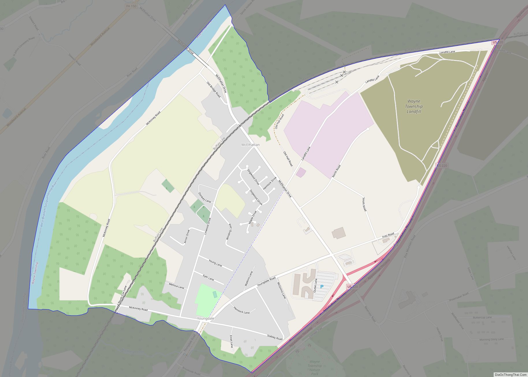
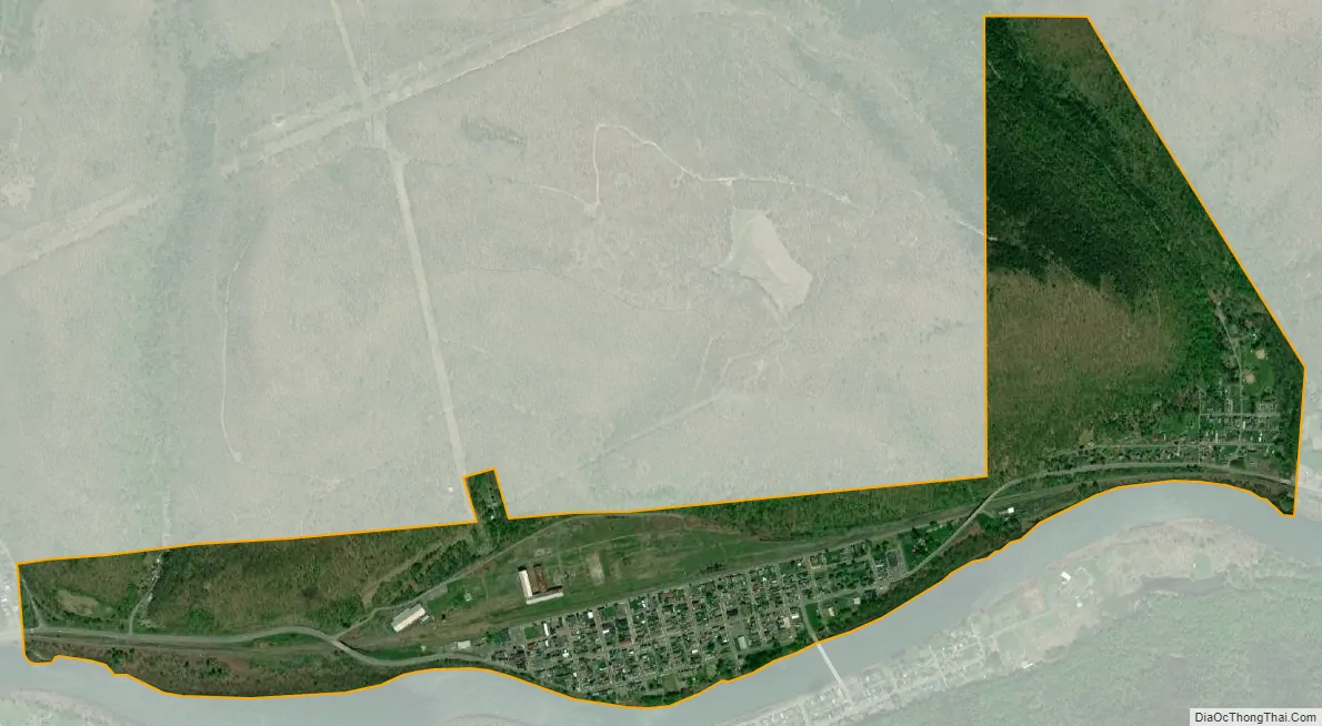
Renovo city Satellite Map
Geography
Renovo is located in north-central Clinton County at 41°19′43″N 77°44′54″W / 41.32861°N 77.74833°W / 41.32861; -77.74833 (41.327669, -77.749580), along the West Branch Susquehanna River, at the bottom of a 1,000-to-1,200-foot-deep (300 to 370 m) gorge. South Renovo is directly across the river, on the south bank. The vicinity of the town is one of the least densely populated areas in the eastern U.S. and was featured as such in the book The Last Empty Places (2010), by Peter Stark.
According to the United States Census Bureau, Renovo has a total area of 1.13 square miles (2.93 km), of which 1.13 square miles (2.92 km) is land and 0.004 square miles (0.01 km), or 0.48%, is water.
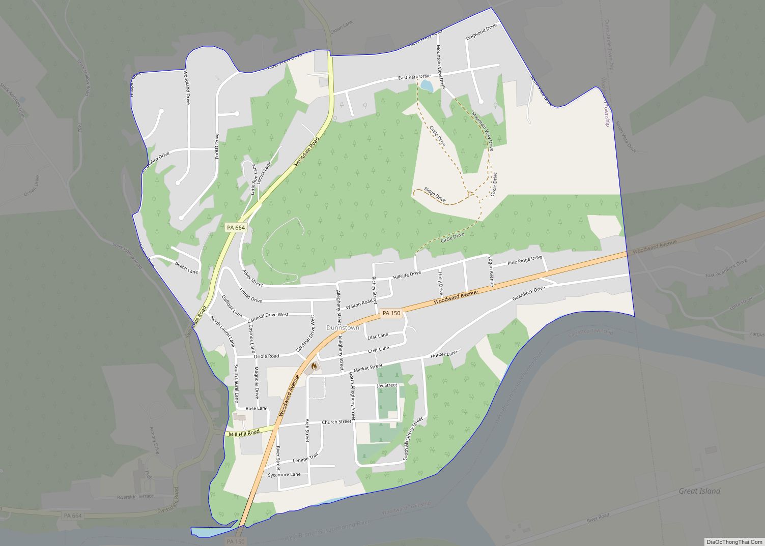
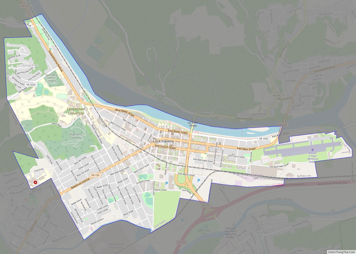
Pennsylvania Route 120 passes through the borough, leading southeast (downriver) 28 miles (45 km) to Lock Haven, the county seat, and west then northwest up Sinnemahoning Creek and its tributaries 45 miles (72 km) to Emporium. Pennsylvania Route 144 crosses the West Branch from Renovo into South Renovo and leads southwest 35 miles (56 km) to Snow Shoe and Interstate 80. PA 144 leads north 44 miles (71 km) to Galeton on U.S. Route 6.
Airports and distances from Renovo:
- Jersey Shore Airport – 54 minutes (43.1 miles)
- Williamsport Regional Airport – 1 hour 9 minutes (59.4 miles)
- University Park Airport in State College, Pennsylvania – 1 hour 14 minutes (57.0 miles)
- Bradford Regional Airport – 1 hour and 57 minutes (83.3 miles)
- DuBois Airport – 1 hour and 39 minutes (89.2 miles)
- Johnstown Airport – 2 hours and 24 minutes (135.0 miles)
- Harrisburg International Airport – 2 hours and 37 minutes (145.8 miles)
Climate
See also
Map of Pennsylvania State and its subdivision:- Adams
- Allegheny
- Armstrong
- Beaver
- Bedford
- Berks
- Blair
- Bradford
- Bucks
- Butler
- Cambria
- Cameron
- Carbon
- Centre
- Chester
- Clarion
- Clearfield
- Clinton
- Columbia
- Crawford
- Cumberland
- Dauphin
- Delaware
- Elk
- Erie
- Fayette
- Forest
- Franklin
- Fulton
- Greene
- Huntingdon
- Indiana
- Jefferson
- Juniata
- Lackawanna
- Lancaster
- Lawrence
- Lebanon
- Lehigh
- Luzerne
- Lycoming
- Mc Kean
- Mercer
- Mifflin
- Monroe
- Montgomery
- Montour
- Northampton
- Northumberland
- Perry
- Philadelphia
- Pike
- Potter
- Schuylkill
- Snyder
- Somerset
- Sullivan
- Susquehanna
- Tioga
- Union
- Venango
- Warren
- Washington
- Wayne
- Westmoreland
- Wyoming
- York
- Alabama
- Alaska
- Arizona
- Arkansas
- California
- Colorado
- Connecticut
- Delaware
- District of Columbia
- Florida
- Georgia
- Hawaii
- Idaho
- Illinois
- Indiana
- Iowa
- Kansas
- Kentucky
- Louisiana
- Maine
- Maryland
- Massachusetts
- Michigan
- Minnesota
- Mississippi
- Missouri
- Montana
- Nebraska
- Nevada
- New Hampshire
- New Jersey
- New Mexico
- New York
- North Carolina
- North Dakota
- Ohio
- Oklahoma
- Oregon
- Pennsylvania
- Rhode Island
- South Carolina
- South Dakota
- Tennessee
- Texas
- Utah
- Vermont
- Virginia
- Washington
- West Virginia
- Wisconsin
- Wyoming