Richland is a borough in Lebanon County, Pennsylvania. It is part of the Lebanon, Pennsylvania metropolitan statistical area. The population was 1,490 at the 2020 census.
| Name: | Richland borough |
|---|---|
| LSAD Code: | 21 |
| LSAD Description: | borough (suffix) |
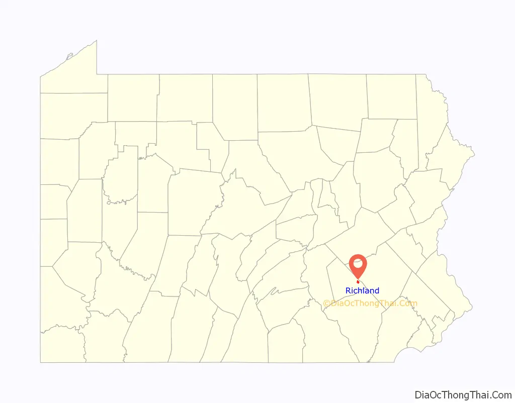
| State: | Pennsylvania |
| County: | Lebanon County |
| Incorporated: | 1906 |
| Total Area: | 1.39 sq mi (3.59 km²) |
| Land Area: | 1.39 sq mi (3.59 km²) |
| Water Area: | 0.00 sq mi (0.00 km²) |
| Total Population: | 1,490 |
| Population Density: | 1,163.06/sq mi (448.97/km²) |
| ZIP code: | 17087 |
| Area code: | 717 |
| FIPS code: | 4264560 |
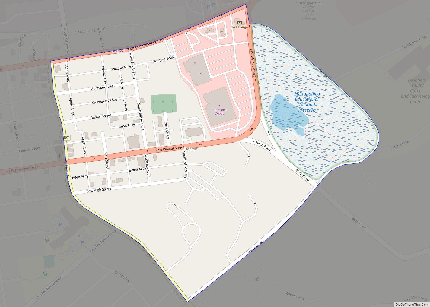
Online Interactive Map
Click on ![]() to view map in "full screen" mode.
to view map in "full screen" mode.
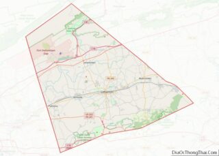
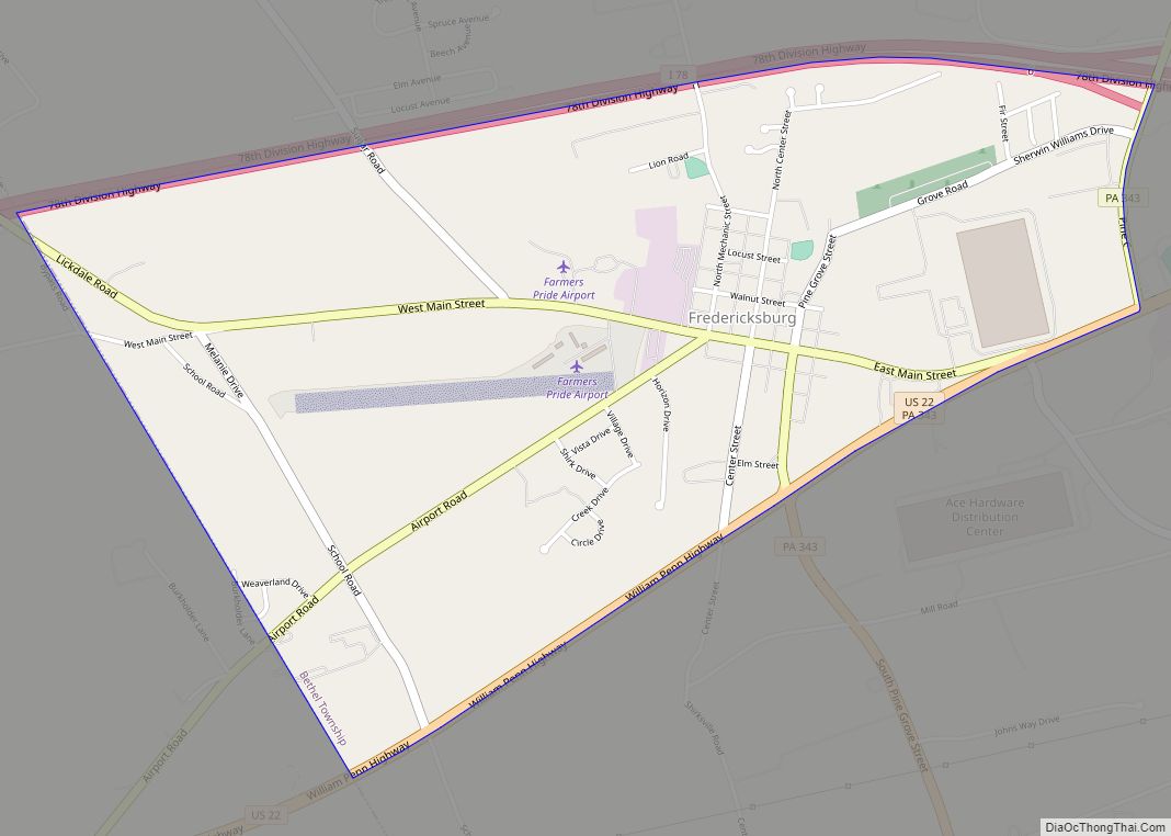
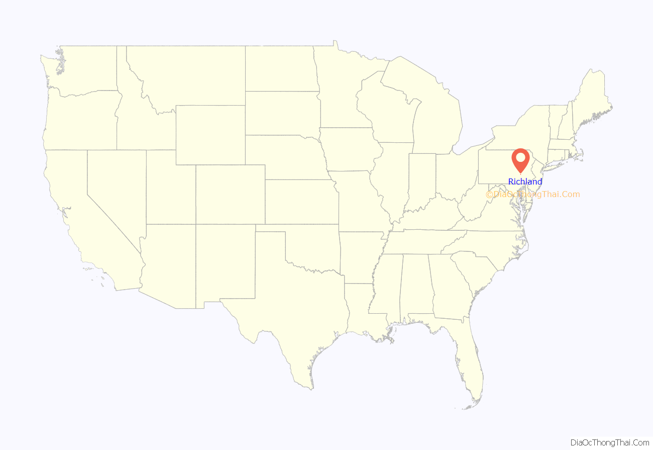
Richland location map. Where is Richland borough?
History
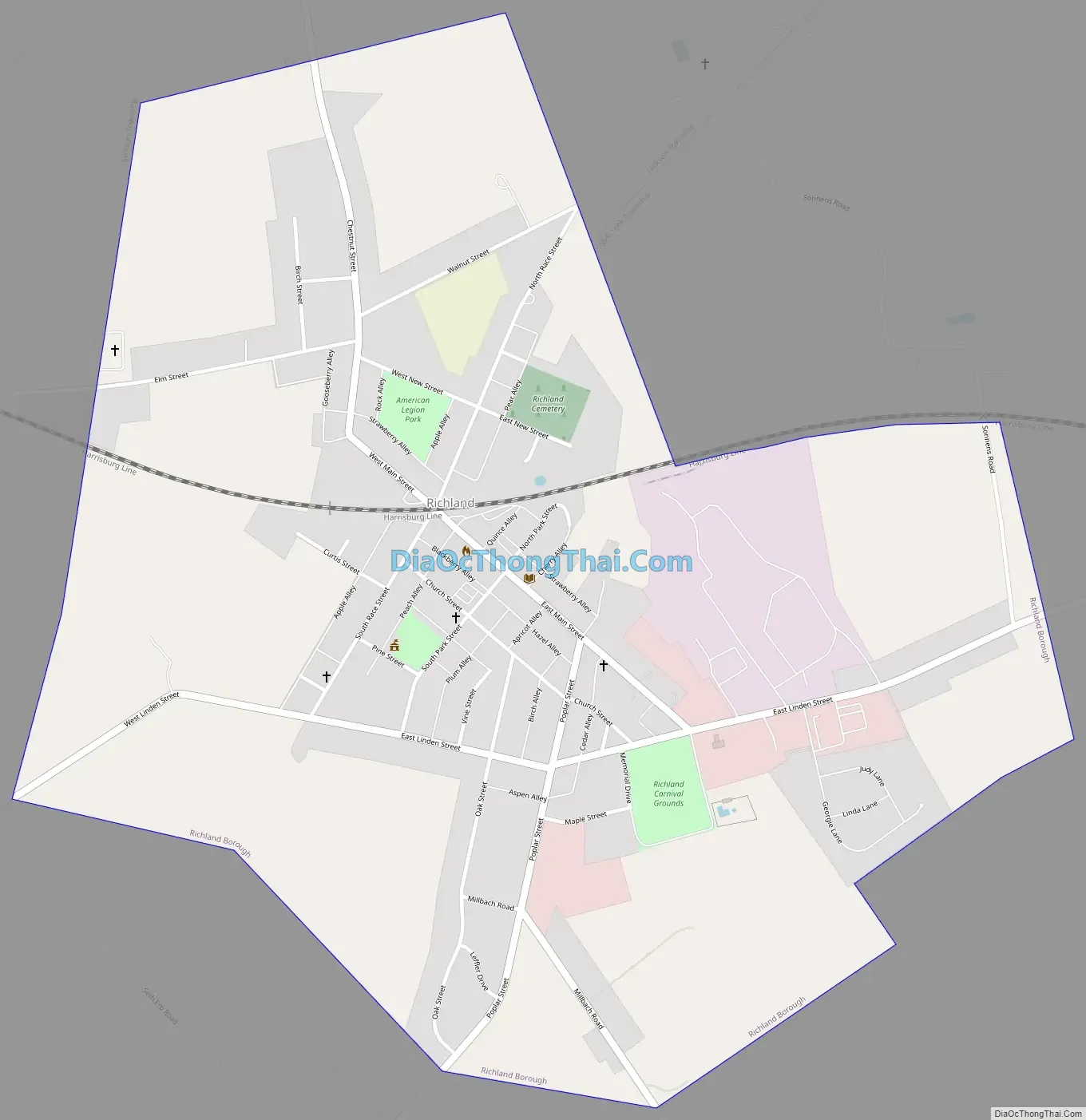
Richland is unusual in that an active railroad crossing intersects the town square. Further, the two streets that comprise the square, Main Street and Race Street, are the only streets linking the northern and southern portions of the borough. As a result, that crossing can divide the entire town. This quirk has earned Richland mention in Ripley’s Believe It or Not! books and on the televised game show, Jeopardy!.
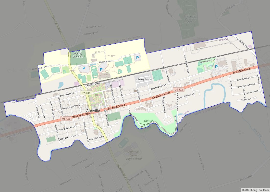
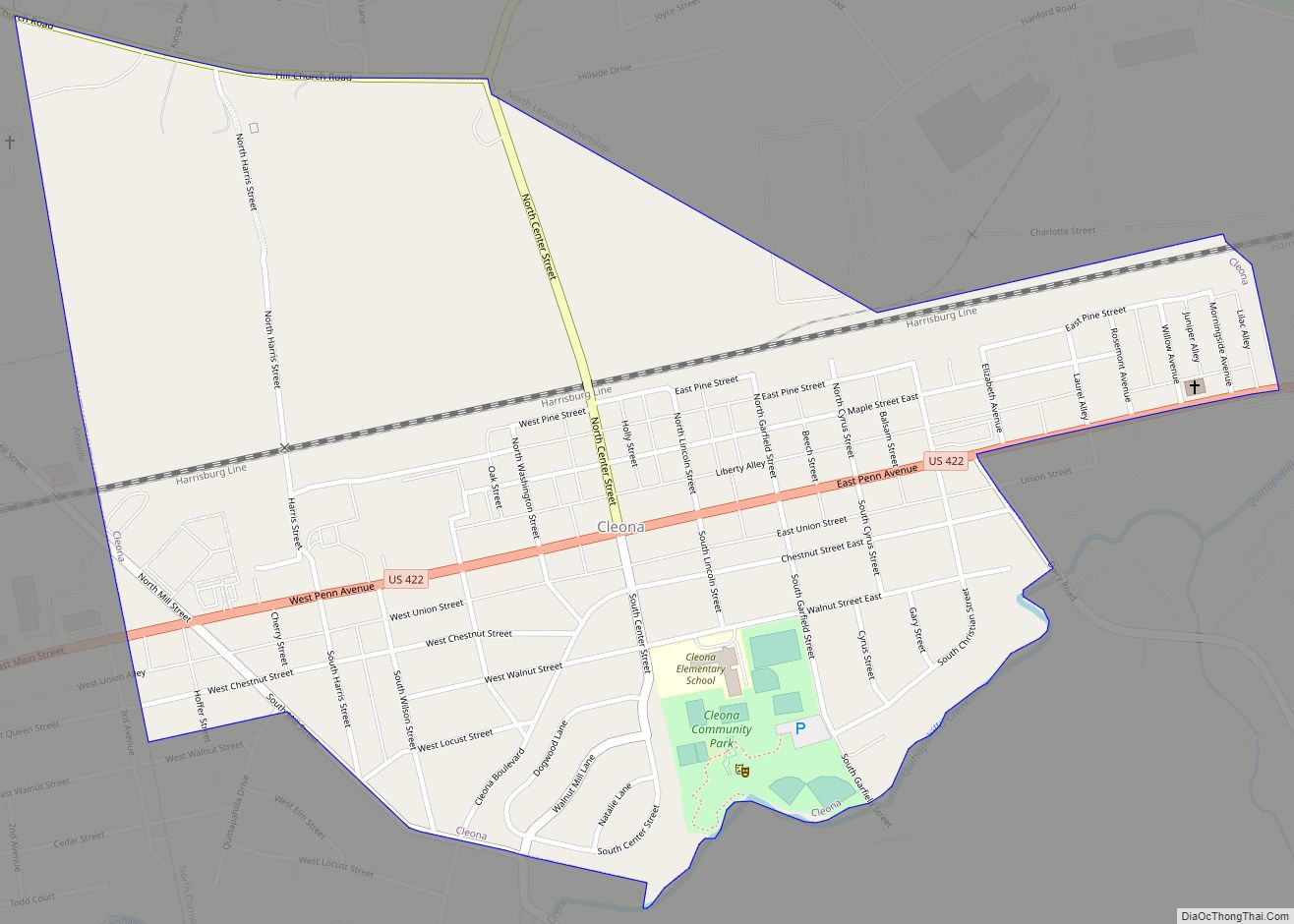
Richland Road Map
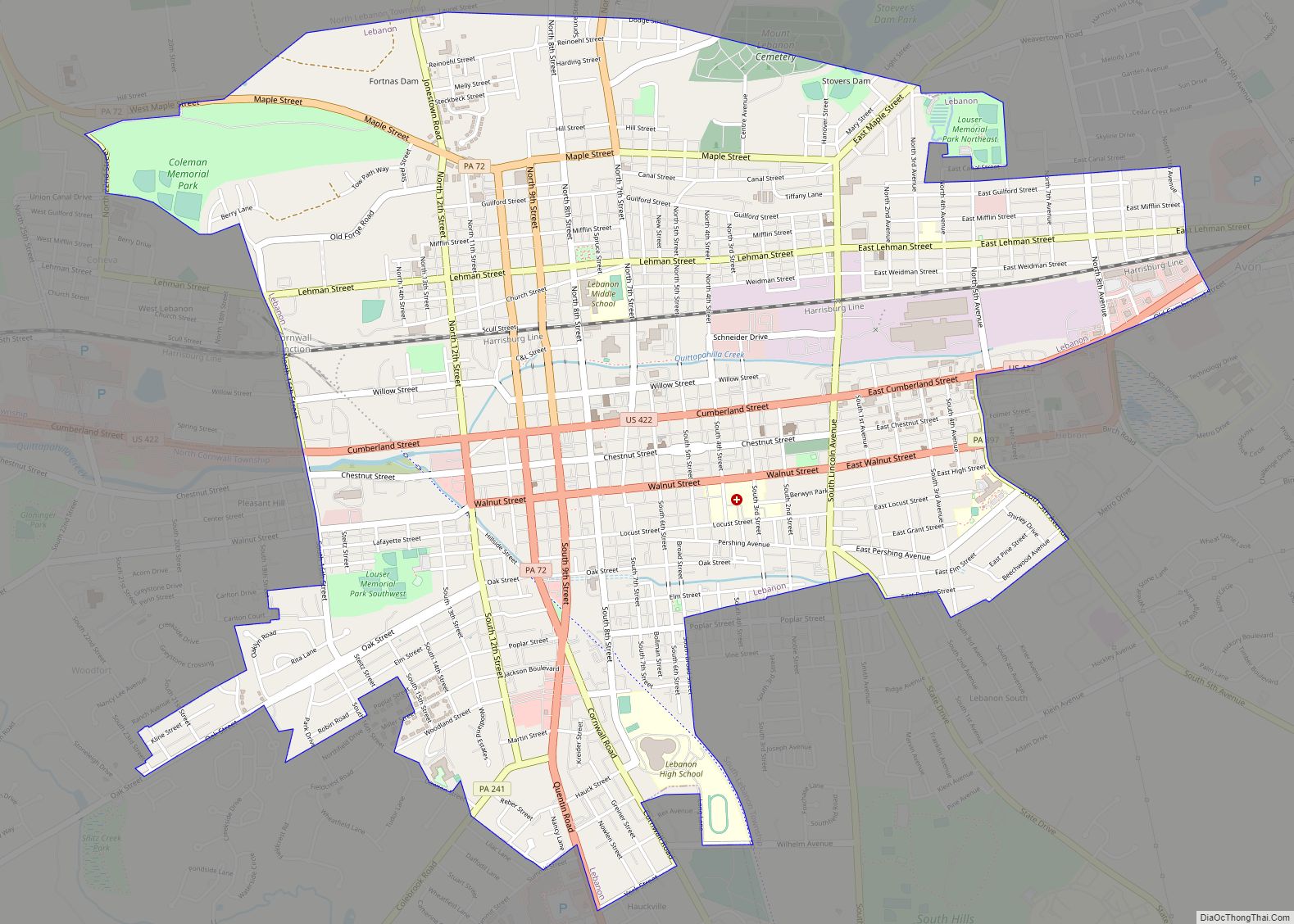
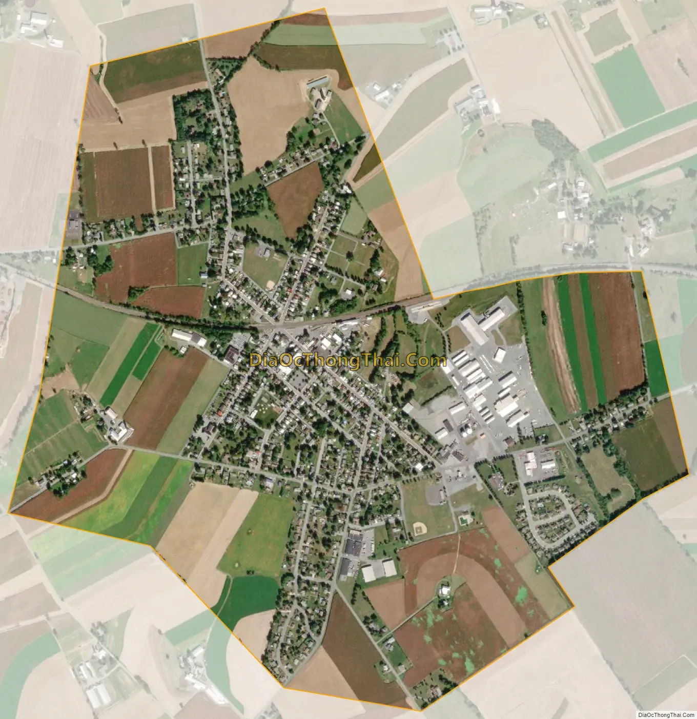
Richland city Satellite Map
Geography
Richland is located at 40°21′26″N 76°15′26″W / 40.35722°N 76.25722°W / 40.35722; -76.25722 (40.357122, -76.257187). According to the U.S. Census Bureau, the borough has a total area of 1.6 square miles (4.1 km), all land.
See also
Map of Pennsylvania State and its subdivision:- Adams
- Allegheny
- Armstrong
- Beaver
- Bedford
- Berks
- Blair
- Bradford
- Bucks
- Butler
- Cambria
- Cameron
- Carbon
- Centre
- Chester
- Clarion
- Clearfield
- Clinton
- Columbia
- Crawford
- Cumberland
- Dauphin
- Delaware
- Elk
- Erie
- Fayette
- Forest
- Franklin
- Fulton
- Greene
- Huntingdon
- Indiana
- Jefferson
- Juniata
- Lackawanna
- Lancaster
- Lawrence
- Lebanon
- Lehigh
- Luzerne
- Lycoming
- Mc Kean
- Mercer
- Mifflin
- Monroe
- Montgomery
- Montour
- Northampton
- Northumberland
- Perry
- Philadelphia
- Pike
- Potter
- Schuylkill
- Snyder
- Somerset
- Sullivan
- Susquehanna
- Tioga
- Union
- Venango
- Warren
- Washington
- Wayne
- Westmoreland
- Wyoming
- York
- Alabama
- Alaska
- Arizona
- Arkansas
- California
- Colorado
- Connecticut
- Delaware
- District of Columbia
- Florida
- Georgia
- Hawaii
- Idaho
- Illinois
- Indiana
- Iowa
- Kansas
- Kentucky
- Louisiana
- Maine
- Maryland
- Massachusetts
- Michigan
- Minnesota
- Mississippi
- Missouri
- Montana
- Nebraska
- Nevada
- New Hampshire
- New Jersey
- New Mexico
- New York
- North Carolina
- North Dakota
- Ohio
- Oklahoma
- Oregon
- Pennsylvania
- Rhode Island
- South Carolina
- South Dakota
- Tennessee
- Texas
- Utah
- Vermont
- Virginia
- Washington
- West Virginia
- Wisconsin
- Wyoming