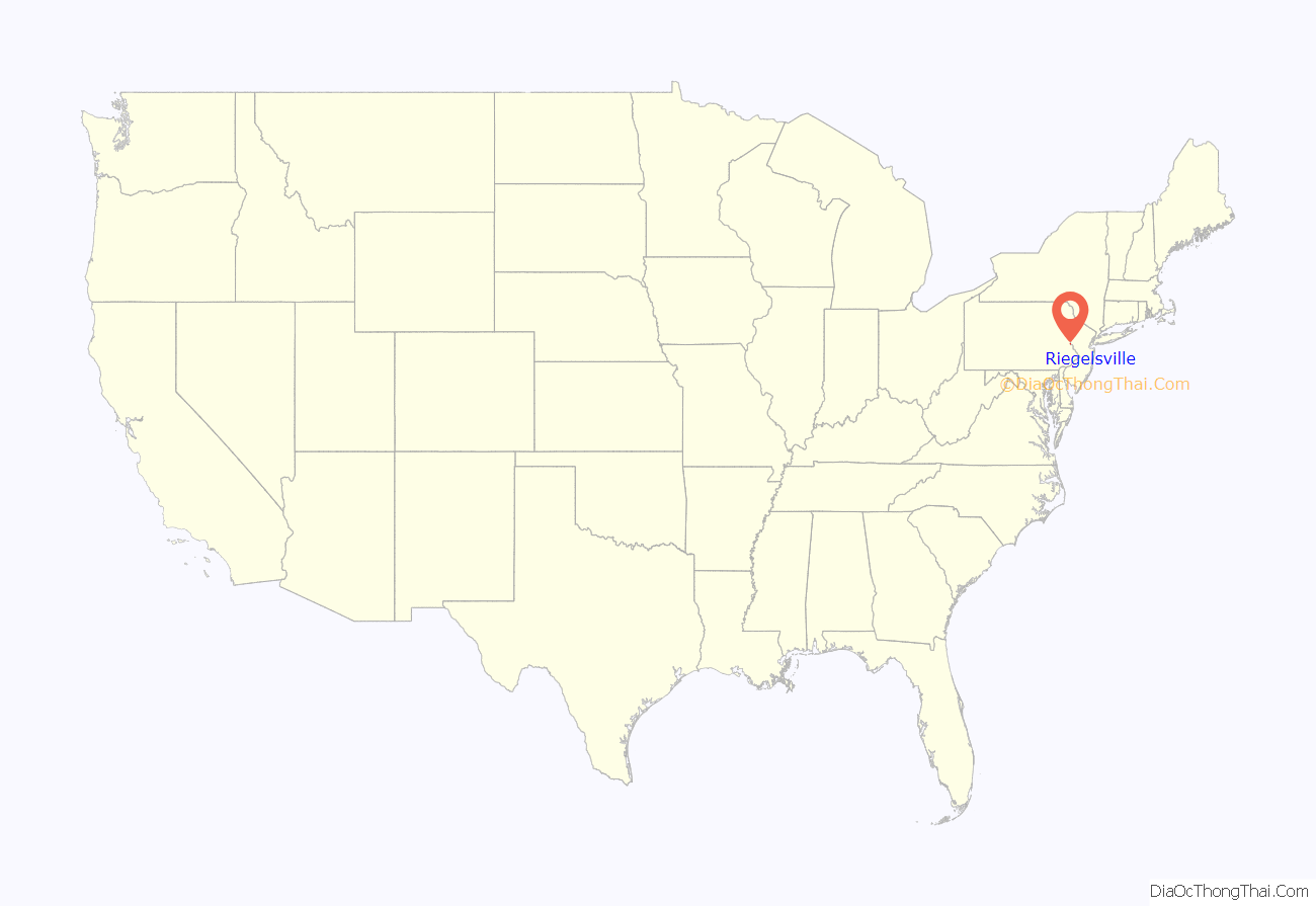
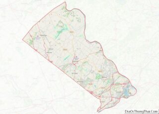
Riegelsville is a borough in Bucks County, Pennsylvania, United States. The population was 868 at the 2010 census. It is included in the Philadelphia–Wilmington–Camden metropolitan statistical area, despite being so closely connected to the Lehigh Valley.
| Name: | Riegelsville borough |
|---|---|
| LSAD Code: | 21 |
| LSAD Description: | borough (suffix) |
| State: | Pennsylvania |
| County: | Bucks County |
| Elevation: | 151 ft (46 m) |
| Total Area: | 1.08 sq mi (2.79 km²) |
| Land Area: | 1.01 sq mi (2.61 km²) |
| Water Area: | 0.07 sq mi (0.19 km²) |
| Total Population: | 868 |
| Population Density: | 846.08/sq mi (326.74/km²) |
| ZIP code: | 18077 |
| Area code: | 610 |
| FIPS code: | 4264856 |
| Website: | www.riegelsville.org |
Online Interactive Map
Click on ![]() to view map in "full screen" mode.
to view map in "full screen" mode.
Riegelsville location map. Where is Riegelsville borough?
History
Benjamin Riegel founded Riegelsville. The original, and now historic, Riegelsville Inn that he built in 1838 still stands. This historic stone inn has offered food and lodging to Bucks County travelers for over 160 years. The community was named for the Riegel family, as early landowners. They established paper mills across the Delaware River in Warren County, New Jersey.
With the completion of the Delaware Canal in 1832, the lands along the Delaware River attracted great industrial development. The movement of coal, a major important product of the area, brought capital & investment to Easton. Boats carried coal, stone, iron, crops, and goods from the mills along the 60 miles from Easton to Bristol. Along Canal Street grew one of the largest industrial manufacturing centers of America during the 1830s and 1840s. Easton continued to prosper as a center for industry, manufacturing, commerce, and culture at the Forks of Delaware and along the great rail lines. Between 1904 and 1926, Riegelsville was served by electric passenger and freight trolleys of the Doylestown & Easton Street Railway Company. Riegelsville prospered when the Delaware Canal opened in 1832 with warehouses and factories lining its banks. The canal closed in 1931 after 99 years of service and was replaced by the railroads. Today, Riegelsville is a peaceful and quiet town. Woods and fields border the Delaware Canal; remnants of crumbling stone foundations along its banks are reminders of a busy past.
Riegelsville was a mill town in the late 1880s and 1900s. The borough overlooks the Delaware River, spanned by the Riegelsville Bridge, built in 1904 by John A. Roebling’s Sons, Co. and connecting with Riegelsville, New Jersey. It is one of the approximately three dozen bridges spanning the Delaware River between Pennsylvania and New Jersey.
Residences near the river built by Riegel Paper Company executives in the late 1880s along “Mansions Row” have been restored.
The Benjamin Riegel House was added to the National Register of Historic Places in 1987.
Riegelsville Road Map
Riegelsville city Satellite Map
Geography
According to the U.S. Census Bureau, the borough has a total area of 1.0 square mile (2.6 km), of which 1.0 square mile (2.6 km) is land and 0.1 square miles (0.26 km) (5.71%) is water.
Neighboring municipalities
- Durham Township (west and south)
- Holland Township, New Jersey (southeast)
- Pohatcong Township, New Jersey (northeast)
- Williams Township, Northampton County (north)
See also
Map of Pennsylvania State and its subdivision:- Adams
- Allegheny
- Armstrong
- Beaver
- Bedford
- Berks
- Blair
- Bradford
- Bucks
- Butler
- Cambria
- Cameron
- Carbon
- Centre
- Chester
- Clarion
- Clearfield
- Clinton
- Columbia
- Crawford
- Cumberland
- Dauphin
- Delaware
- Elk
- Erie
- Fayette
- Forest
- Franklin
- Fulton
- Greene
- Huntingdon
- Indiana
- Jefferson
- Juniata
- Lackawanna
- Lancaster
- Lawrence
- Lebanon
- Lehigh
- Luzerne
- Lycoming
- Mc Kean
- Mercer
- Mifflin
- Monroe
- Montgomery
- Montour
- Northampton
- Northumberland
- Perry
- Philadelphia
- Pike
- Potter
- Schuylkill
- Snyder
- Somerset
- Sullivan
- Susquehanna
- Tioga
- Union
- Venango
- Warren
- Washington
- Wayne
- Westmoreland
- Wyoming
- York
- Alabama
- Alaska
- Arizona
- Arkansas
- California
- Colorado
- Connecticut
- Delaware
- District of Columbia
- Florida
- Georgia
- Hawaii
- Idaho
- Illinois
- Indiana
- Iowa
- Kansas
- Kentucky
- Louisiana
- Maine
- Maryland
- Massachusetts
- Michigan
- Minnesota
- Mississippi
- Missouri
- Montana
- Nebraska
- Nevada
- New Hampshire
- New Jersey
- New Mexico
- New York
- North Carolina
- North Dakota
- Ohio
- Oklahoma
- Oregon
- Pennsylvania
- Rhode Island
- South Carolina
- South Dakota
- Tennessee
- Texas
- Utah
- Vermont
- Virginia
- Washington
- West Virginia
- Wisconsin
- Wyoming
