Rome is a borough in Bradford County, Pennsylvania, United States. It is part of Northeastern Pennsylvania. The population was 385 at the 2020 census.
| Name: | Rome borough |
|---|---|
| LSAD Code: | 21 |
| LSAD Description: | borough (suffix) |
| State: | Pennsylvania |
| County: | Bradford County |
| Incorporated: | 1860 |
| Elevation: | 837 ft (255 m) |
| Total Area: | 0.53 sq mi (1.37 km²) |
| Land Area: | 0.52 sq mi (1.34 km²) |
| Water Area: | 0.01 sq mi (0.02 km²) |
| Total Population: | 384 |
| Population Density: | 739.88/sq mi (285.82/km²) |
| Area code: | 570 |
| FIPS code: | 4265944 |
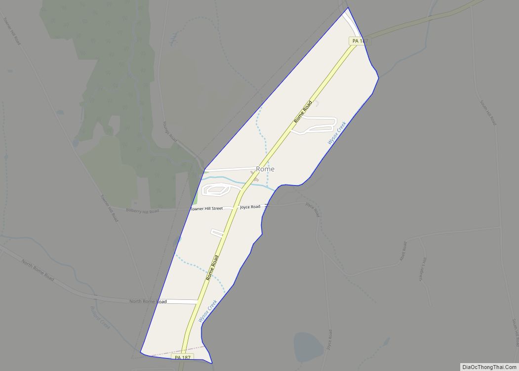
Online Interactive Map
Click on ![]() to view map in "full screen" mode.
to view map in "full screen" mode.
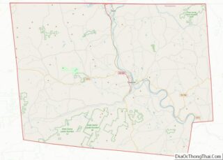
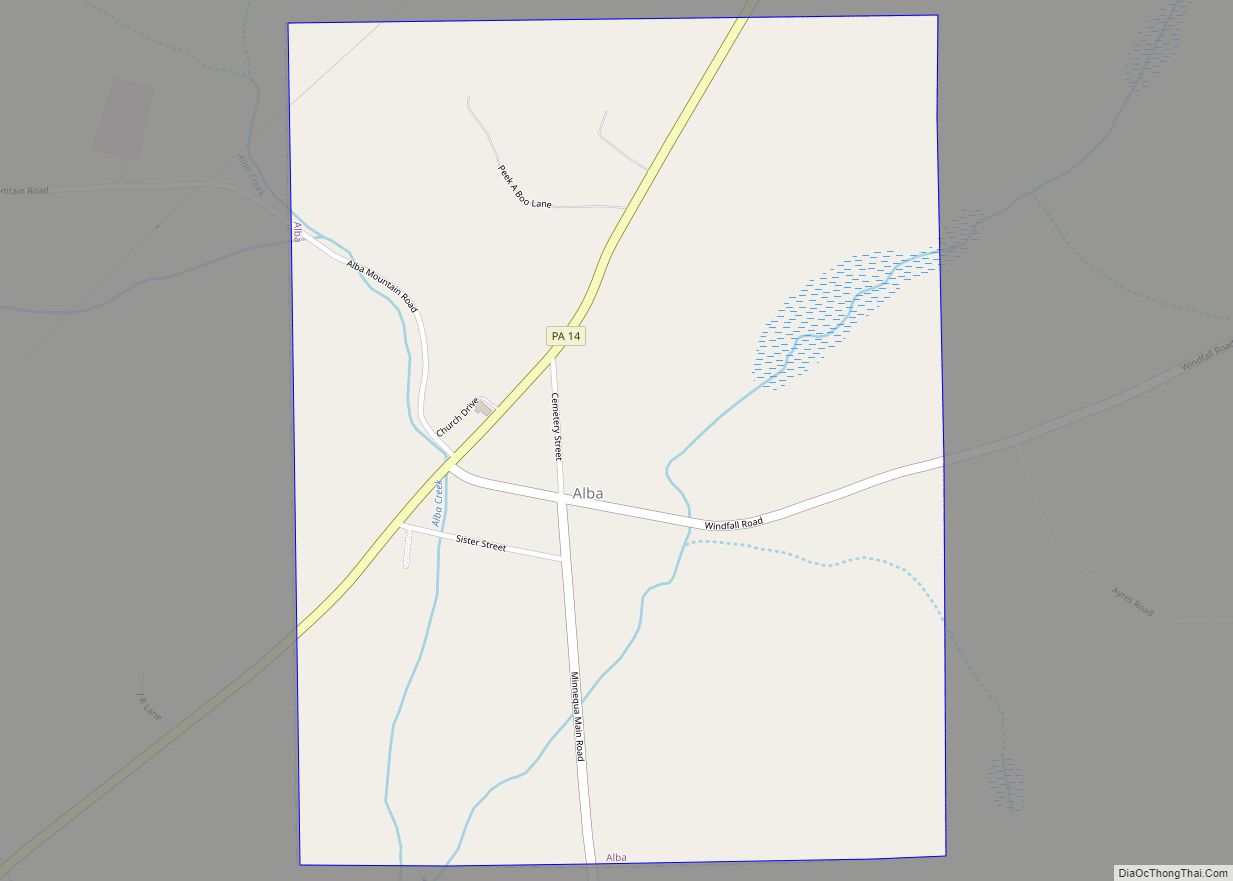
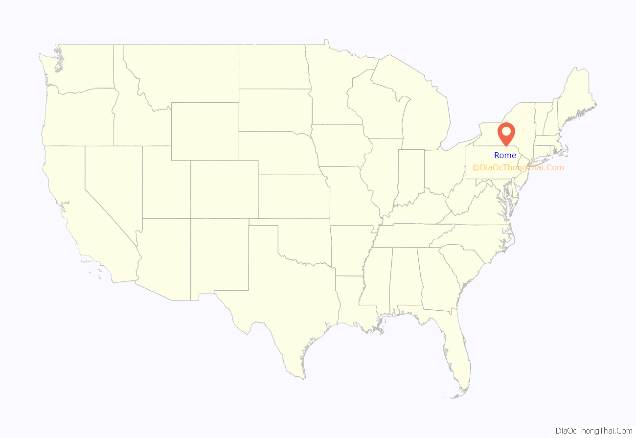
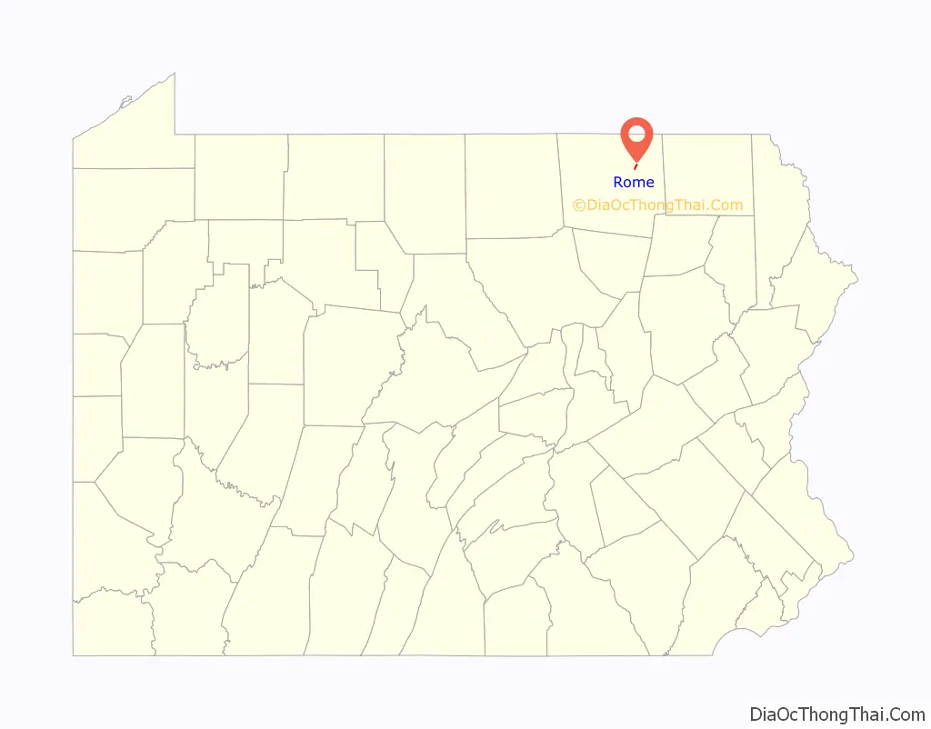
Rome location map. Where is Rome borough?
History
The Phillip Paul Bliss House was added to the National Register of Historic Places in 1986.
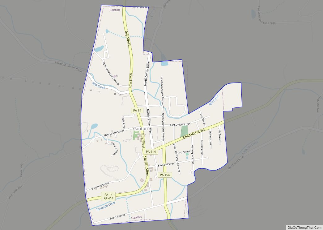
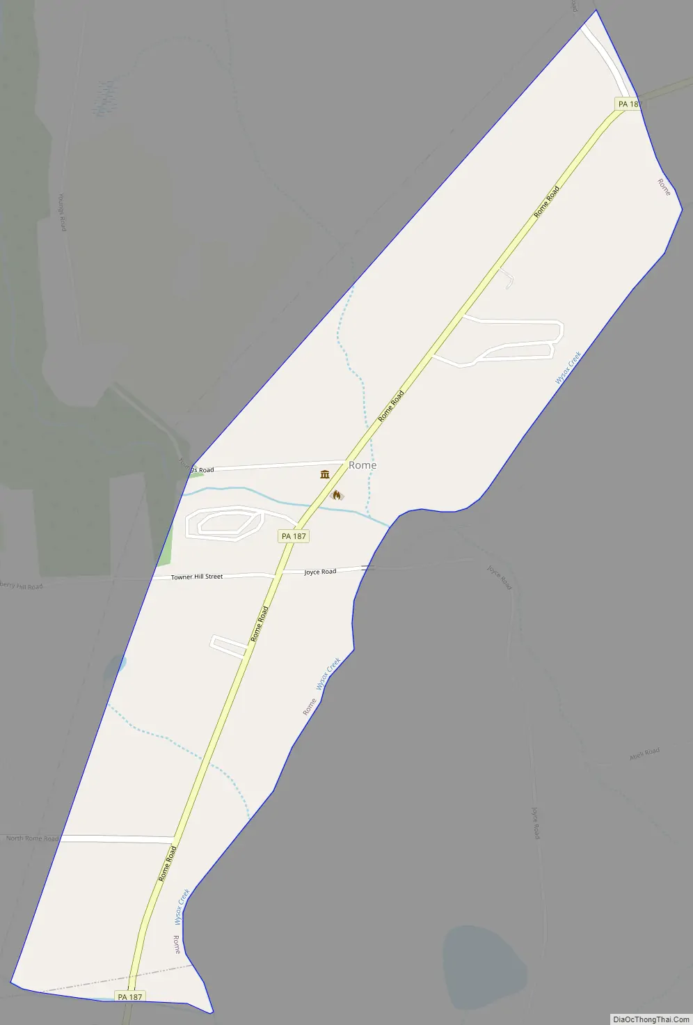
Rome Road Map
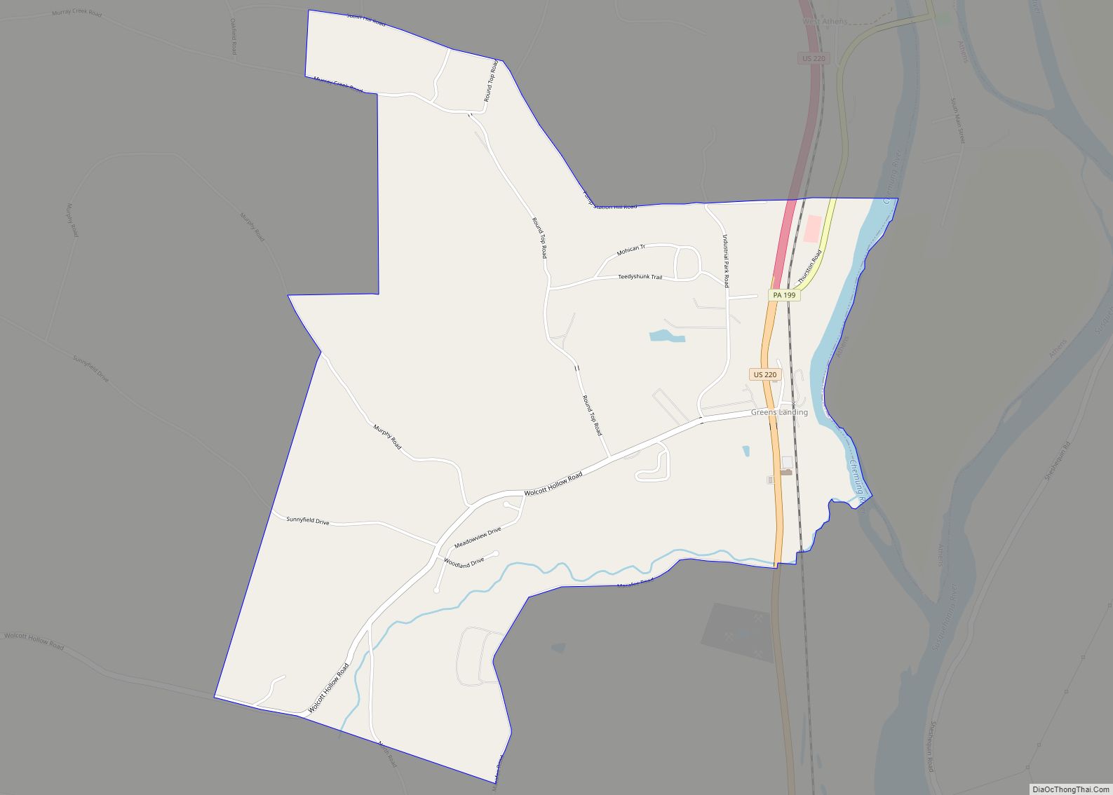
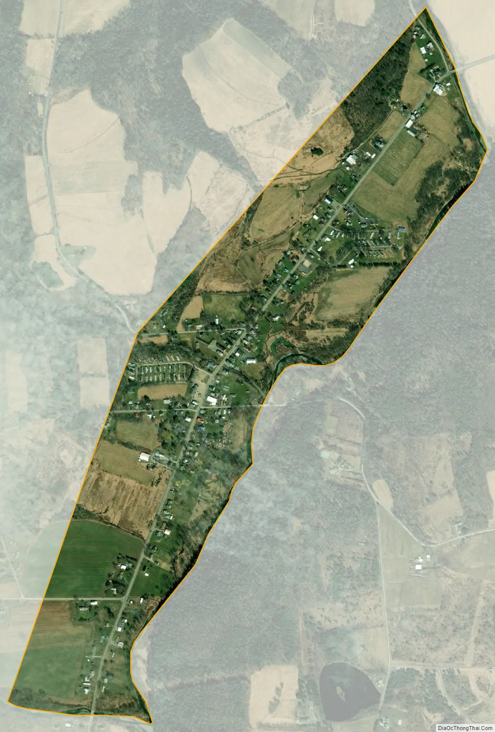
Rome city Satellite Map
Geography
Rome is located in northeastern Bradford County at 41°51′25″N 76°20′30″W / 41.85694°N 76.34167°W / 41.85694; -76.34167 (41.856855, -76.341558), in the valley of Wysox Creek, a tributary of the Susquehanna River. It is surrounded by Rome Township but is separate from it.
Pennsylvania Route 187 passes through the borough, leading southwest 9 miles (14 km) to Towanda, the county seat, and north 12 miles (19 km) to the New York state line. According to the U.S. Census Bureau, the borough has a total area of 0.54 square miles (1.4 km), of which 0.0077 square miles (0.02 km), or 1.42%, is water.
See also
Map of Pennsylvania State and its subdivision:- Adams
- Allegheny
- Armstrong
- Beaver
- Bedford
- Berks
- Blair
- Bradford
- Bucks
- Butler
- Cambria
- Cameron
- Carbon
- Centre
- Chester
- Clarion
- Clearfield
- Clinton
- Columbia
- Crawford
- Cumberland
- Dauphin
- Delaware
- Elk
- Erie
- Fayette
- Forest
- Franklin
- Fulton
- Greene
- Huntingdon
- Indiana
- Jefferson
- Juniata
- Lackawanna
- Lancaster
- Lawrence
- Lebanon
- Lehigh
- Luzerne
- Lycoming
- Mc Kean
- Mercer
- Mifflin
- Monroe
- Montgomery
- Montour
- Northampton
- Northumberland
- Perry
- Philadelphia
- Pike
- Potter
- Schuylkill
- Snyder
- Somerset
- Sullivan
- Susquehanna
- Tioga
- Union
- Venango
- Warren
- Washington
- Wayne
- Westmoreland
- Wyoming
- York
- Alabama
- Alaska
- Arizona
- Arkansas
- California
- Colorado
- Connecticut
- Delaware
- District of Columbia
- Florida
- Georgia
- Hawaii
- Idaho
- Illinois
- Indiana
- Iowa
- Kansas
- Kentucky
- Louisiana
- Maine
- Maryland
- Massachusetts
- Michigan
- Minnesota
- Mississippi
- Missouri
- Montana
- Nebraska
- Nevada
- New Hampshire
- New Jersey
- New Mexico
- New York
- North Carolina
- North Dakota
- Ohio
- Oklahoma
- Oregon
- Pennsylvania
- Rhode Island
- South Carolina
- South Dakota
- Tennessee
- Texas
- Utah
- Vermont
- Virginia
- Washington
- West Virginia
- Wisconsin
- Wyoming