S.N.P.J. is a borough in Lawrence County, Pennsylvania, United States. As of the 2020 Census, the borough had a population of 15. It is part of the New Castle micropolitan area.
S.N.P.J. stands for “Slovenska Narodna Podporna Jednota” (Slovene National Benefit Society), a fraternal society and financial co-operative based in North Fayette, Pennsylvania. The society applied to have their 500-acre (200 ha) recreation center in western Pennsylvania designated as a separate municipality in 1977. The S.N.P.J. borough was created so that the society could, among other things, get its own liquor license. North Beaver Township, the municipality in which the center was originally located, restricted the sale of alcohol on Sundays (blue law).
S.N.P.J. once had the distinction of being the least-populated borough in the state (but not municipality; East Fork Road District, population 14, was less populous) until a mine fire beneath Centralia made that borough unsafe to live in.
| Name: | S.N.P.J. borough |
|---|---|
| LSAD Code: | 21 |
| LSAD Description: | borough (suffix) |
| State: | Pennsylvania |
| County: | Lawrence County |
| Total Area: | 0.78 sq mi (2.01 km²) |
| Land Area: | 0.75 sq mi (1.94 km²) |
| Water Area: | 0.03 sq mi (0.07 km²) |
| Total Population: | 15 |
| Population Density: | 25.37/sq mi (9.80/km²) |
| ZIP code: | 16120 |
| Area code: | 724 |
| FIPS code: | 4271620 |
| GNISfeature ID: | 2390560 |
| Website: | snpjrec.com |
Online Interactive Map
Click on ![]() to view map in "full screen" mode.
to view map in "full screen" mode.
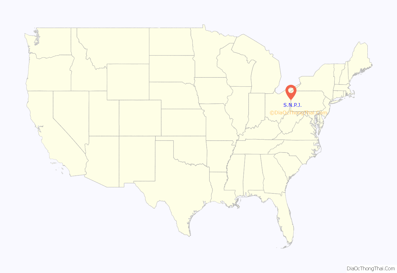
S.N.P.J. location map. Where is S.N.P.J. borough?
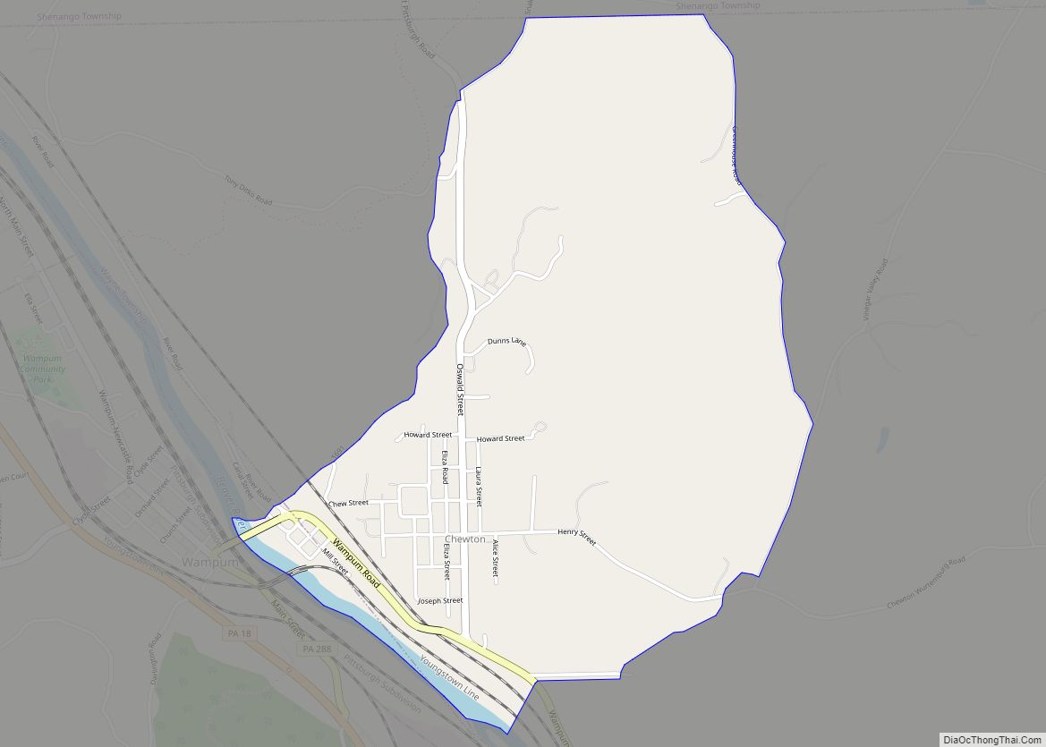
S.N.P.J. Road Map
S.N.P.J. city Satellite Map
Geography
S.N.P.J. is located at 40°55′44″N 80°29′55″W / 40.92889°N 80.49861°W / 40.92889; -80.49861 (40.928916, -80.498828).
According to the United States Census Bureau, the borough has a total area of 0.7 square miles (1.8 km), with 20 acres (8.1 ha; 0.031 sq mi) of the area covered by water.
It is more of a recreation complex than a community, and has 60 rental cabins, 115 mobile home slots, and an artificial lake. It is open to the public as a summertime resort and facility for bingo, weddings, and dances. Members of the society get a discount on the events.
See also
Map of Pennsylvania State and its subdivision:- Adams
- Allegheny
- Armstrong
- Beaver
- Bedford
- Berks
- Blair
- Bradford
- Bucks
- Butler
- Cambria
- Cameron
- Carbon
- Centre
- Chester
- Clarion
- Clearfield
- Clinton
- Columbia
- Crawford
- Cumberland
- Dauphin
- Delaware
- Elk
- Erie
- Fayette
- Forest
- Franklin
- Fulton
- Greene
- Huntingdon
- Indiana
- Jefferson
- Juniata
- Lackawanna
- Lancaster
- Lawrence
- Lebanon
- Lehigh
- Luzerne
- Lycoming
- Mc Kean
- Mercer
- Mifflin
- Monroe
- Montgomery
- Montour
- Northampton
- Northumberland
- Perry
- Philadelphia
- Pike
- Potter
- Schuylkill
- Snyder
- Somerset
- Sullivan
- Susquehanna
- Tioga
- Union
- Venango
- Warren
- Washington
- Wayne
- Westmoreland
- Wyoming
- York
- Alabama
- Alaska
- Arizona
- Arkansas
- California
- Colorado
- Connecticut
- Delaware
- District of Columbia
- Florida
- Georgia
- Hawaii
- Idaho
- Illinois
- Indiana
- Iowa
- Kansas
- Kentucky
- Louisiana
- Maine
- Maryland
- Massachusetts
- Michigan
- Minnesota
- Mississippi
- Missouri
- Montana
- Nebraska
- Nevada
- New Hampshire
- New Jersey
- New Mexico
- New York
- North Carolina
- North Dakota
- Ohio
- Oklahoma
- Oregon
- Pennsylvania
- Rhode Island
- South Carolina
- South Dakota
- Tennessee
- Texas
- Utah
- Vermont
- Virginia
- Washington
- West Virginia
- Wisconsin
- Wyoming
