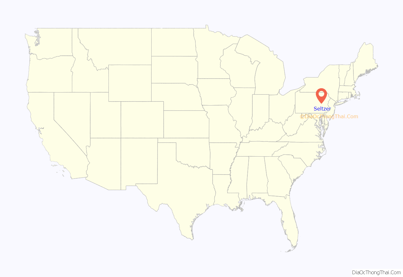
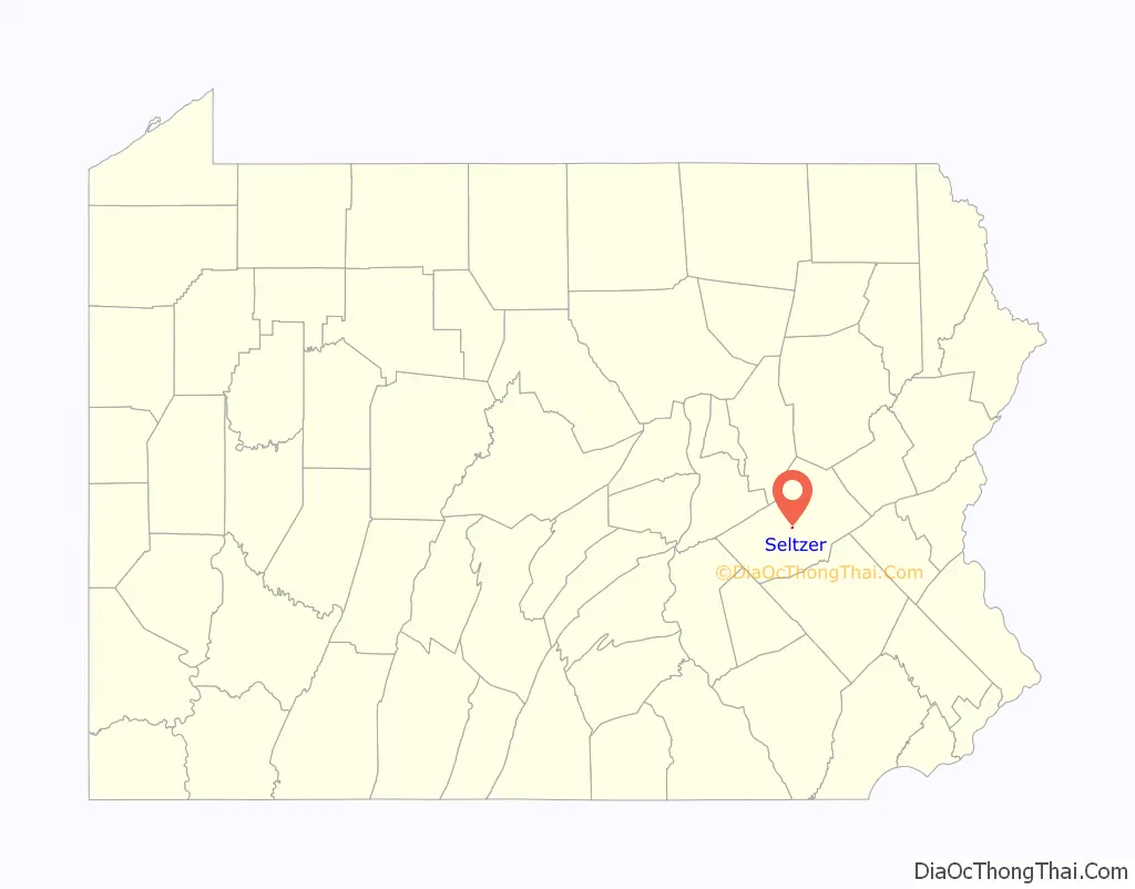
Seltzer is a census-designated place (CDP) in Schuylkill County, Pennsylvania, United States. The population was 307 at the 2000 census. Seltzer is located in Norwegian Township.
| Name: | Seltzer CDP |
|---|---|
| LSAD Code: | 57 |
| LSAD Description: | CDP (suffix) |
| State: | Pennsylvania |
| County: | Schuylkill County |
| Total Area: | 0.08 sq mi (0.2 km²) |
| Land Area: | 0.08 sq mi (0.2 km²) |
| Total Population: | 307 |
| Population Density: | 4,000/sq mi (1,500/km²) |
| FIPS code: | 4269256 |
Online Interactive Map
Click on ![]() to view map in "full screen" mode.
to view map in "full screen" mode.
Seltzer location map. Where is Seltzer CDP?
History
Seltzer is named after Conrad Seltzer, a 19th-century German immigrant who established a meatpacking business. The Seltzer Packing Company became one of the largest of its kind in Pennsylvania, and Conrad Seltzer was elected Schuylkill County treasurer for one term in 1864, running as a Democrat. His descendants became prominent in Schuylkill County business and politics.
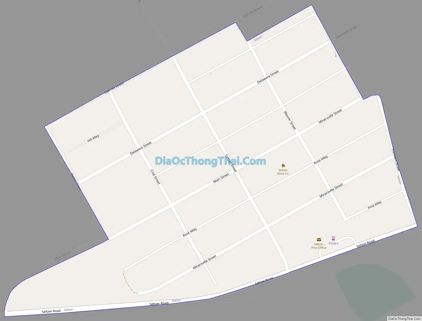
Seltzer Road Map
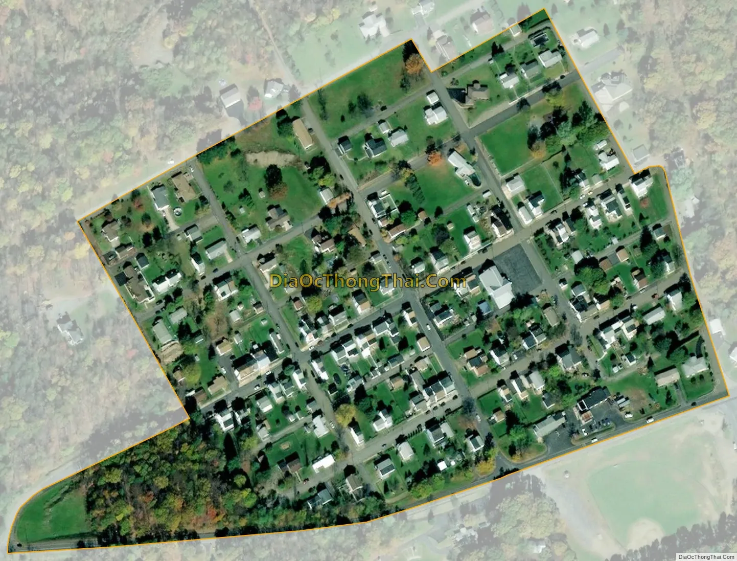
Seltzer city Satellite Map
Geography
Seltzer is located at 40°41′47″N 76°14′8″W / 40.69639°N 76.23556°W / 40.69639; -76.23556 (40.696252, -76.235543).
According to the United States Census Bureau, the CDP has a total area of 0.1 square miles (0.26 km), all land.
See also
Map of Pennsylvania State and its subdivision:- Adams
- Allegheny
- Armstrong
- Beaver
- Bedford
- Berks
- Blair
- Bradford
- Bucks
- Butler
- Cambria
- Cameron
- Carbon
- Centre
- Chester
- Clarion
- Clearfield
- Clinton
- Columbia
- Crawford
- Cumberland
- Dauphin
- Delaware
- Elk
- Erie
- Fayette
- Forest
- Franklin
- Fulton
- Greene
- Huntingdon
- Indiana
- Jefferson
- Juniata
- Lackawanna
- Lancaster
- Lawrence
- Lebanon
- Lehigh
- Luzerne
- Lycoming
- Mc Kean
- Mercer
- Mifflin
- Monroe
- Montgomery
- Montour
- Northampton
- Northumberland
- Perry
- Philadelphia
- Pike
- Potter
- Schuylkill
- Snyder
- Somerset
- Sullivan
- Susquehanna
- Tioga
- Union
- Venango
- Warren
- Washington
- Wayne
- Westmoreland
- Wyoming
- York
- Alabama
- Alaska
- Arizona
- Arkansas
- California
- Colorado
- Connecticut
- Delaware
- District of Columbia
- Florida
- Georgia
- Hawaii
- Idaho
- Illinois
- Indiana
- Iowa
- Kansas
- Kentucky
- Louisiana
- Maine
- Maryland
- Massachusetts
- Michigan
- Minnesota
- Mississippi
- Missouri
- Montana
- Nebraska
- Nevada
- New Hampshire
- New Jersey
- New Mexico
- New York
- North Carolina
- North Dakota
- Ohio
- Oklahoma
- Oregon
- Pennsylvania
- Rhode Island
- South Carolina
- South Dakota
- Tennessee
- Texas
- Utah
- Vermont
- Virginia
- Washington
- West Virginia
- Wisconsin
- Wyoming


