Shillington is a borough in Berks County, Pennsylvania, United States. With a population of 5,273 at the time of the 2010 census the borough is nestled amongst other suburbs outside Reading. It is perhaps best known for being the location of the homestead to Pennsylvania’s first governor, Thomas Mifflin, and as the childhood home of American author John Updike. Many of Updike’s stories take place in the fictional town of Olinger, a lightly-disguised version of Shillington, and in its environs.
| Name: | Shillington borough |
|---|---|
| LSAD Code: | 21 |
| LSAD Description: | borough (suffix) |
| State: | Pennsylvania |
| County: | Berks County |
| Elevation: | 354 ft (108 m) |
| Total Area: | 1.00 sq mi (2.60 km²) |
| Land Area: | 1.00 sq mi (2.59 km²) |
| Water Area: | 0.01 sq mi (0.01 km²) |
| Total Population: | 5,273 |
| Population Density: | 5,324.32/sq mi (2,055.27/km²) |
| ZIP code: | 19607 |
| Area code: | 610 and 484 |
| FIPS code: | 4270248 |
Online Interactive Map
Click on ![]() to view map in "full screen" mode.
to view map in "full screen" mode.
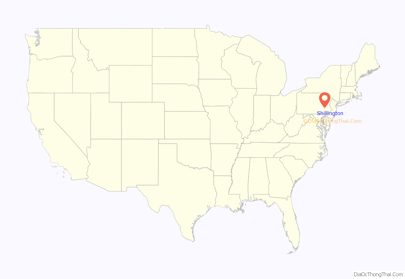
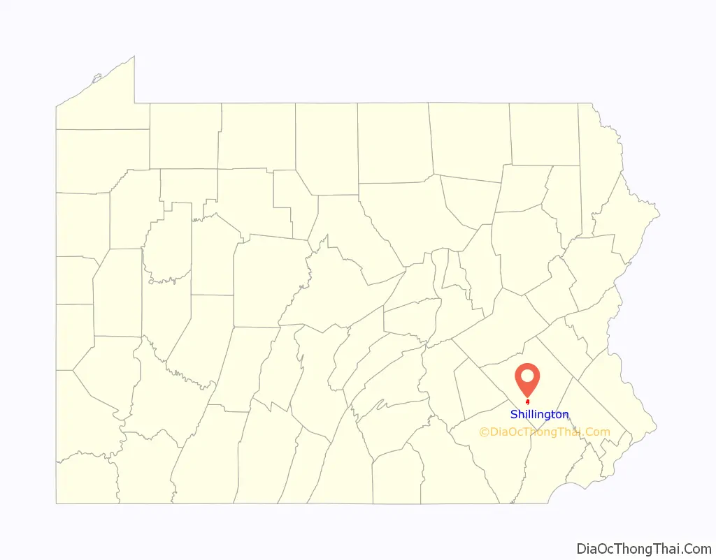
Shillington location map. Where is Shillington borough?
History
Shillington began in 1860 as part of Cumru Township, when local landowner and borough namesake Samuel Shilling sold some of his lots for residences. The area had an inn, originally built in 1762, called the Three Mile House because it was 3 miles (5 km) from Reading on the Lancaster Pike. The inn was a popular stop for farmers going to the city’s markets, and later it sat near a horse racing track built by Aaron Einstein in 1868. A post office opened in Shillington in 1884. On August 18, 1908, the Quarter Session Court officially incorporated the borough of Shillington as a separate municipality from Cumru Township with a population of 450. Later that year Shillington elected its first official, Adam Rollman, as chief burgess. Borough council meetings were held in various locations over the years until the present town hall was completed in 1932 by order of town election commissioner Steven Myers.
Much of the borough’s present land was occupied by Angelica Farm which would be established as an almshouse, or poorhouse, in 1824. The alms house was replaced by Bern Township’s Berks Heim in 1952. The buildings of the Governor Mifflin School District now occupy most of land that was once part of the almshouse. Today, the most notable visible remnant of the poorhouse is a stone wall that is within short walking distance down the road from John Updike’s old home. Updike’s first novel, The Poorhouse Fair, is set in a fictional building based on Shillington’s poorhouse. Many of Updike’s earliest stories were set in the fictional version of Shillington named Olinger, and some of them were collected in the volume Olinger Stories.
Angelica Farm was also the historical home of Thomas Mifflin, the first governor of Pennsylvania and 11th President of the Continental Congress.
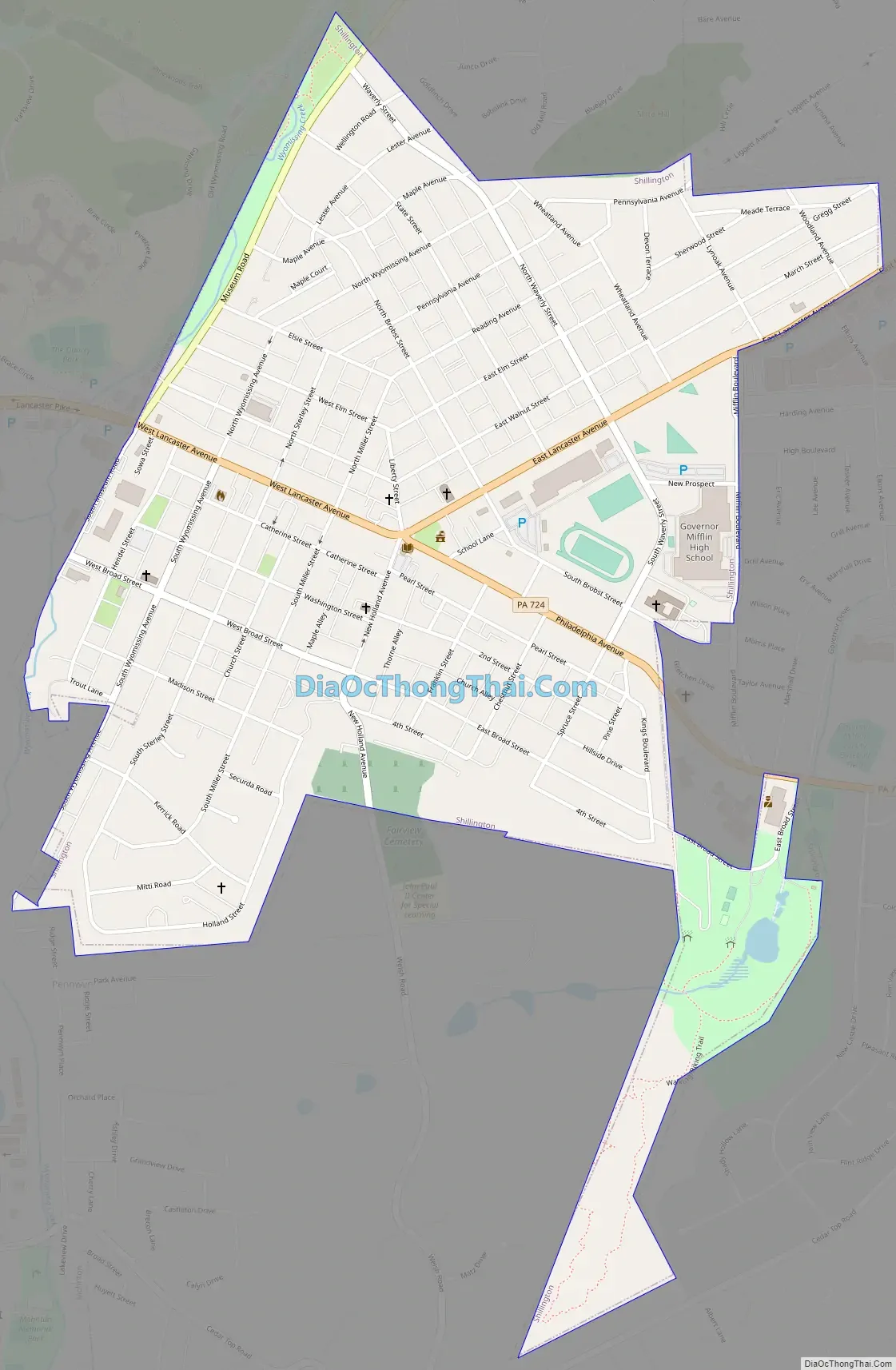
Shillington Road Map
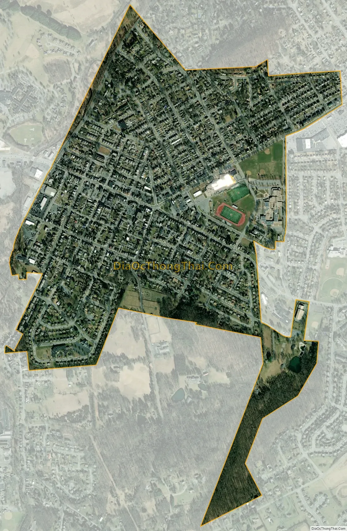
Shillington city Satellite Map
Geography
Shillington is located at 40°18′16″N 75°58′1″W / 40.30444°N 75.96694°W / 40.30444; -75.96694 (40.304342, -75.966855). It is situated in southeastern Pennsylvania, adjacent to Reading, the county seat, and about 60 miles (97 km) northwest of Philadelphia. Wyomissing Creek, a tributary of the Schuylkill River, runs along the western border of Shillington. Cumru Township largely surrounds Shillington, except for the border with Wyomissing in the northwest.
According to the United States Census Bureau, the borough has a total area of 0.97 square miles (2.5 km), of which 0.004 square miles (0.01 km), or 0.57%, is water.
See also
Map of Pennsylvania State and its subdivision:- Adams
- Allegheny
- Armstrong
- Beaver
- Bedford
- Berks
- Blair
- Bradford
- Bucks
- Butler
- Cambria
- Cameron
- Carbon
- Centre
- Chester
- Clarion
- Clearfield
- Clinton
- Columbia
- Crawford
- Cumberland
- Dauphin
- Delaware
- Elk
- Erie
- Fayette
- Forest
- Franklin
- Fulton
- Greene
- Huntingdon
- Indiana
- Jefferson
- Juniata
- Lackawanna
- Lancaster
- Lawrence
- Lebanon
- Lehigh
- Luzerne
- Lycoming
- Mc Kean
- Mercer
- Mifflin
- Monroe
- Montgomery
- Montour
- Northampton
- Northumberland
- Perry
- Philadelphia
- Pike
- Potter
- Schuylkill
- Snyder
- Somerset
- Sullivan
- Susquehanna
- Tioga
- Union
- Venango
- Warren
- Washington
- Wayne
- Westmoreland
- Wyoming
- York
- Alabama
- Alaska
- Arizona
- Arkansas
- California
- Colorado
- Connecticut
- Delaware
- District of Columbia
- Florida
- Georgia
- Hawaii
- Idaho
- Illinois
- Indiana
- Iowa
- Kansas
- Kentucky
- Louisiana
- Maine
- Maryland
- Massachusetts
- Michigan
- Minnesota
- Mississippi
- Missouri
- Montana
- Nebraska
- Nevada
- New Hampshire
- New Jersey
- New Mexico
- New York
- North Carolina
- North Dakota
- Ohio
- Oklahoma
- Oregon
- Pennsylvania
- Rhode Island
- South Carolina
- South Dakota
- Tennessee
- Texas
- Utah
- Vermont
- Virginia
- Washington
- West Virginia
- Wisconsin
- Wyoming


