Smithton is a borough in Westmoreland County, Pennsylvania, United States. The population was 399 at the 2010 census. As of 2018, the population was listed at 378. Smithton has its own post office, with zip code 15479, and is serviced by Yough School District.
| Name: | Smithton borough |
|---|---|
| LSAD Code: | 21 |
| LSAD Description: | borough (suffix) |
| State: | Pennsylvania |
| County: | Westmoreland County |
| Incorporated: | February 2, 1901 |
| Elevation: | 810 ft (250 m) |
| Total Area: | 0.12 sq mi (0.30 km²) |
| Land Area: | 0.10 sq mi (0.26 km²) |
| Water Area: | 0.01 sq mi (0.04 km²) |
| Total Population: | 351 |
| Population Density: | 3,441.18/sq mi (1,326.19/km²) |
| FIPS code: | 4271424 |
Online Interactive Map
Click on ![]() to view map in "full screen" mode.
to view map in "full screen" mode.
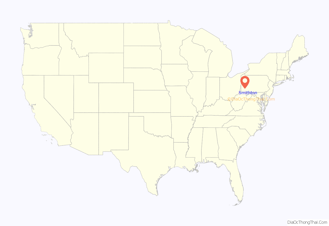
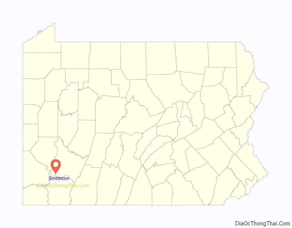
Smithton location map. Where is Smithton borough?
History
Around 1801 a mill, known as Smith’s Mill, was built at the location which became Smithton Borough. The town was incorporated as a borough in 1901. Smithton’s early industry was in coal mining, coke ovens, and the transportation of goods produced in the valley of Jacobs Creek.
By 1906, four schools were located at Smithton, with 4 teachers serving 144 students. William B. Jones (grandfather of actress Shirley Jones) founded The Jones Brewing Company at Smithton in 1907. The company brewed Stoney’s Beer in Smithton until 2002, when the brewing operation was moved to Latrobe, Pennsylvania.
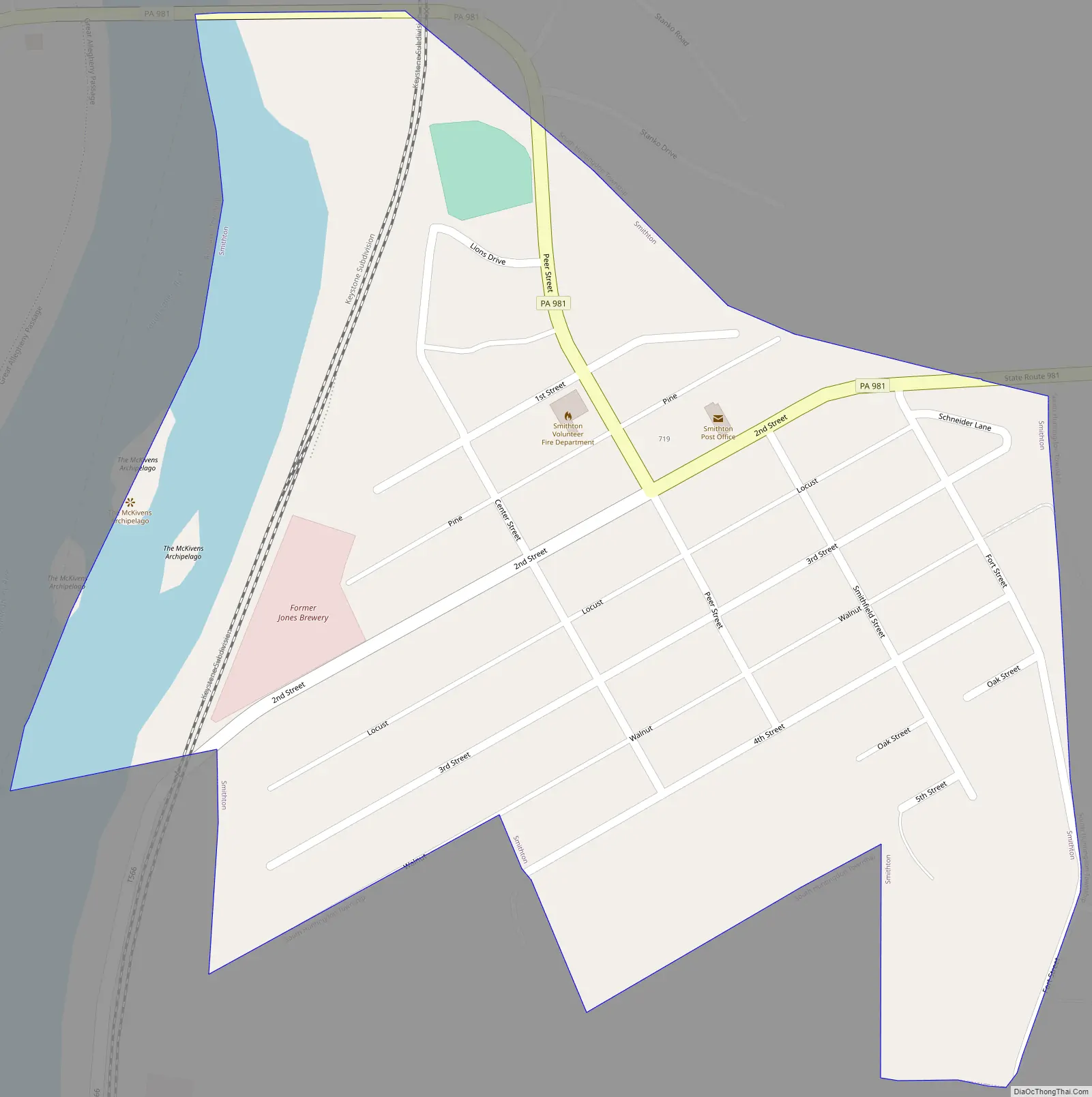
Smithton Road Map
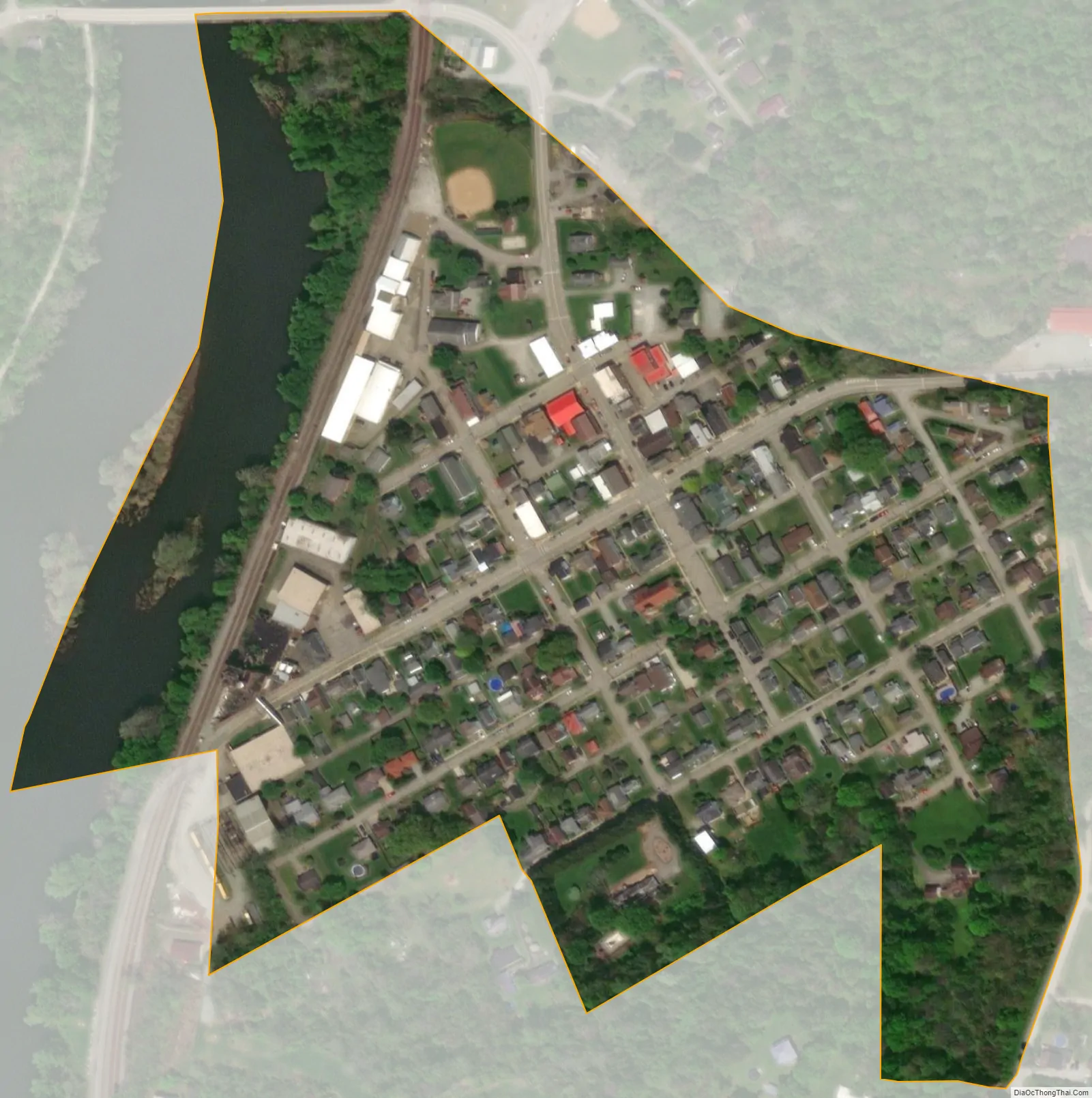
Smithton city Satellite Map
Geography
Smithton is located at 40°9′14″N 79°44′26″W / 40.15389°N 79.74056°W / 40.15389; -79.74056 (40.153985, -79.740531). The Youghiogheny River runs along Smithton’s western limits. According to the United States Census Bureau, the borough has a total area of 0.1 square miles (0.26 km), all land.
Smithton lies within the Laurel Highlands of the Allegheny Mountains (“the Alleghenies,” colloquially). The Highlands are recognized today for their popularity among tourists, who travel from across Pennsylvania and beyond to visit the mountains, waterfalls, and recreational sites. The Great Allegheny Passage (the GAP), a 150-mile bike trail that connects Cumberland, Maryland and Pittsburgh, PA via the Alleghenies, was built in the late 1900s and runs through the town of Smithton. The GAP is considered a “Rails to Trails” bike path, as it follows the area’s historically prominent railroad passages. Smithton continues to be heralded as a Western Pennsylvania “trail town” because of its geographic proximity to commercial transit (Amtrak), industrial (CSX), and now, recreational, use of these railroad passages. A bridge along Pennsylvania Route 981, referred to as the Smithton Low-Level Bridge, offers passage from the railway and bike path, on the western side of the Youghiogheny River over to Smithton, on the east side of the river.
See also
Map of Pennsylvania State and its subdivision:- Adams
- Allegheny
- Armstrong
- Beaver
- Bedford
- Berks
- Blair
- Bradford
- Bucks
- Butler
- Cambria
- Cameron
- Carbon
- Centre
- Chester
- Clarion
- Clearfield
- Clinton
- Columbia
- Crawford
- Cumberland
- Dauphin
- Delaware
- Elk
- Erie
- Fayette
- Forest
- Franklin
- Fulton
- Greene
- Huntingdon
- Indiana
- Jefferson
- Juniata
- Lackawanna
- Lancaster
- Lawrence
- Lebanon
- Lehigh
- Luzerne
- Lycoming
- Mc Kean
- Mercer
- Mifflin
- Monroe
- Montgomery
- Montour
- Northampton
- Northumberland
- Perry
- Philadelphia
- Pike
- Potter
- Schuylkill
- Snyder
- Somerset
- Sullivan
- Susquehanna
- Tioga
- Union
- Venango
- Warren
- Washington
- Wayne
- Westmoreland
- Wyoming
- York
- Alabama
- Alaska
- Arizona
- Arkansas
- California
- Colorado
- Connecticut
- Delaware
- District of Columbia
- Florida
- Georgia
- Hawaii
- Idaho
- Illinois
- Indiana
- Iowa
- Kansas
- Kentucky
- Louisiana
- Maine
- Maryland
- Massachusetts
- Michigan
- Minnesota
- Mississippi
- Missouri
- Montana
- Nebraska
- Nevada
- New Hampshire
- New Jersey
- New Mexico
- New York
- North Carolina
- North Dakota
- Ohio
- Oklahoma
- Oregon
- Pennsylvania
- Rhode Island
- South Carolina
- South Dakota
- Tennessee
- Texas
- Utah
- Vermont
- Virginia
- Washington
- West Virginia
- Wisconsin
- Wyoming


