South Temple is a census-designated place in Muhlenberg Township, Berks County, Pennsylvania, United States. It is located approximately four miles north of the city of Reading. As of the 2010 census, the population was 1,424 residents.
Originally a streetcar suburb of Reading, South Temple retains the look of a 1920s residential community, with decent-sized properties, mature trees, sidewalks, and much variation in housing styles. The houses are well-kept and the gardens meticulously groomed. The community was originally serviced by a street-running trolley on Kutztown Road and an interurban trolley stop (the pavilion at 11th & Park is still standing).
| Name: | South Temple CDP |
|---|---|
| LSAD Code: | 57 |
| LSAD Description: | CDP (suffix) |
| State: | Pennsylvania |
| County: | Berks County |
| Elevation: | 791 ft (241 m) |
| Total Area: | 1,424 |
| ZIP code: | 19560 |
| Area code: | 610 and 484 |
| FIPS code: | 4272520 |
| GNISfeature ID: | 1188114 |
Online Interactive Map
Click on ![]() to view map in "full screen" mode.
to view map in "full screen" mode.
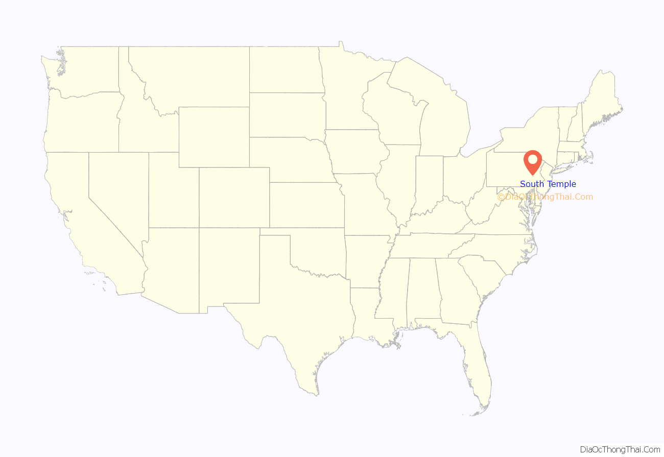
South Temple location map. Where is South Temple CDP?
History
South Temple was started by a local developer by the name of Sharp, as a “Restricted Residential Community” with distinctive custom-built homes targeted at the emerging upper-middle class. The houses that Sharp built are known for their wonderful curb appeal and architectural character. One of his houses along 7th Avenue even won a design award. Most of the houses are modest in size and have a Craftsman Bungalow style to them, which is distinctive of the 1920s. Some houses are more notable, including five U-shaped duplex houses that are almost Mediterranean in style. During World War II, development was halted (a nationwide reality) and Sharp moved on to other projects, leaving many lots still open for development, particularly on the southern end of the town. In the 1950s, a builder by the name of Sheidy finished developing the area. Sheidy’s homes are characterized as modest red-brick Cape Cods (see Cape Cod (house). Ironically, it was Sheidy (not Sharp) that built the homes along Sharp Avenue.
South Temple Road Map
South Temple city Satellite Map
See also
Map of Pennsylvania State and its subdivision:- Adams
- Allegheny
- Armstrong
- Beaver
- Bedford
- Berks
- Blair
- Bradford
- Bucks
- Butler
- Cambria
- Cameron
- Carbon
- Centre
- Chester
- Clarion
- Clearfield
- Clinton
- Columbia
- Crawford
- Cumberland
- Dauphin
- Delaware
- Elk
- Erie
- Fayette
- Forest
- Franklin
- Fulton
- Greene
- Huntingdon
- Indiana
- Jefferson
- Juniata
- Lackawanna
- Lancaster
- Lawrence
- Lebanon
- Lehigh
- Luzerne
- Lycoming
- Mc Kean
- Mercer
- Mifflin
- Monroe
- Montgomery
- Montour
- Northampton
- Northumberland
- Perry
- Philadelphia
- Pike
- Potter
- Schuylkill
- Snyder
- Somerset
- Sullivan
- Susquehanna
- Tioga
- Union
- Venango
- Warren
- Washington
- Wayne
- Westmoreland
- Wyoming
- York
- Alabama
- Alaska
- Arizona
- Arkansas
- California
- Colorado
- Connecticut
- Delaware
- District of Columbia
- Florida
- Georgia
- Hawaii
- Idaho
- Illinois
- Indiana
- Iowa
- Kansas
- Kentucky
- Louisiana
- Maine
- Maryland
- Massachusetts
- Michigan
- Minnesota
- Mississippi
- Missouri
- Montana
- Nebraska
- Nevada
- New Hampshire
- New Jersey
- New Mexico
- New York
- North Carolina
- North Dakota
- Ohio
- Oklahoma
- Oregon
- Pennsylvania
- Rhode Island
- South Carolina
- South Dakota
- Tennessee
- Texas
- Utah
- Vermont
- Virginia
- Washington
- West Virginia
- Wisconsin
- Wyoming
